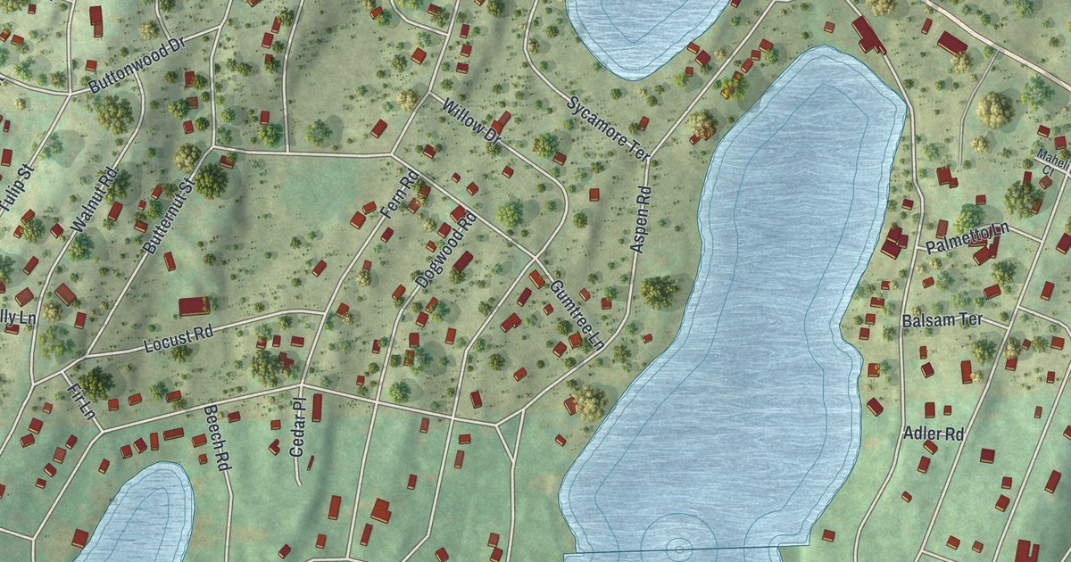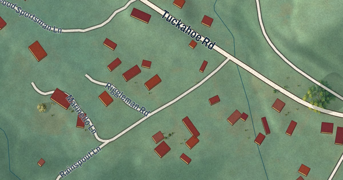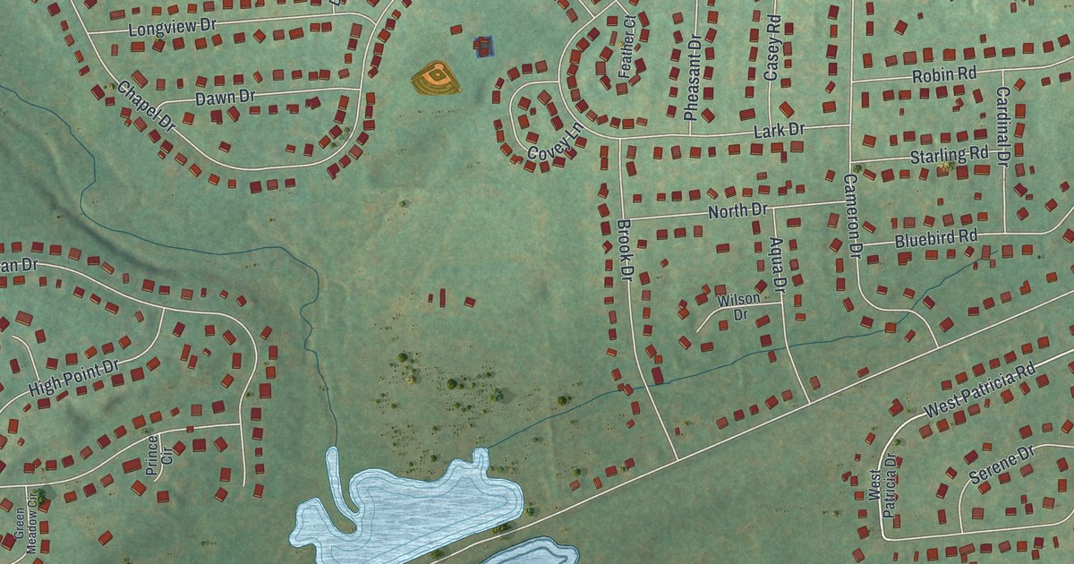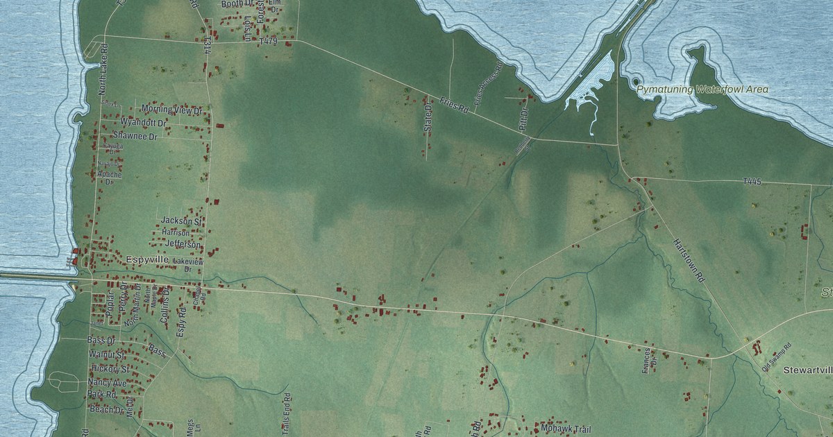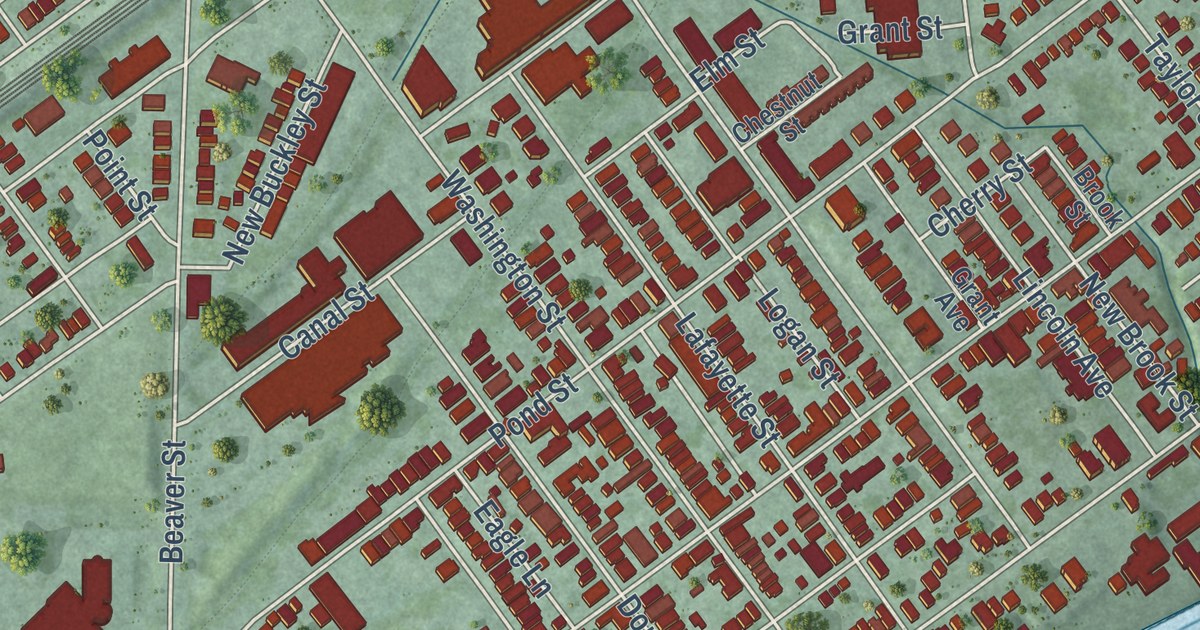
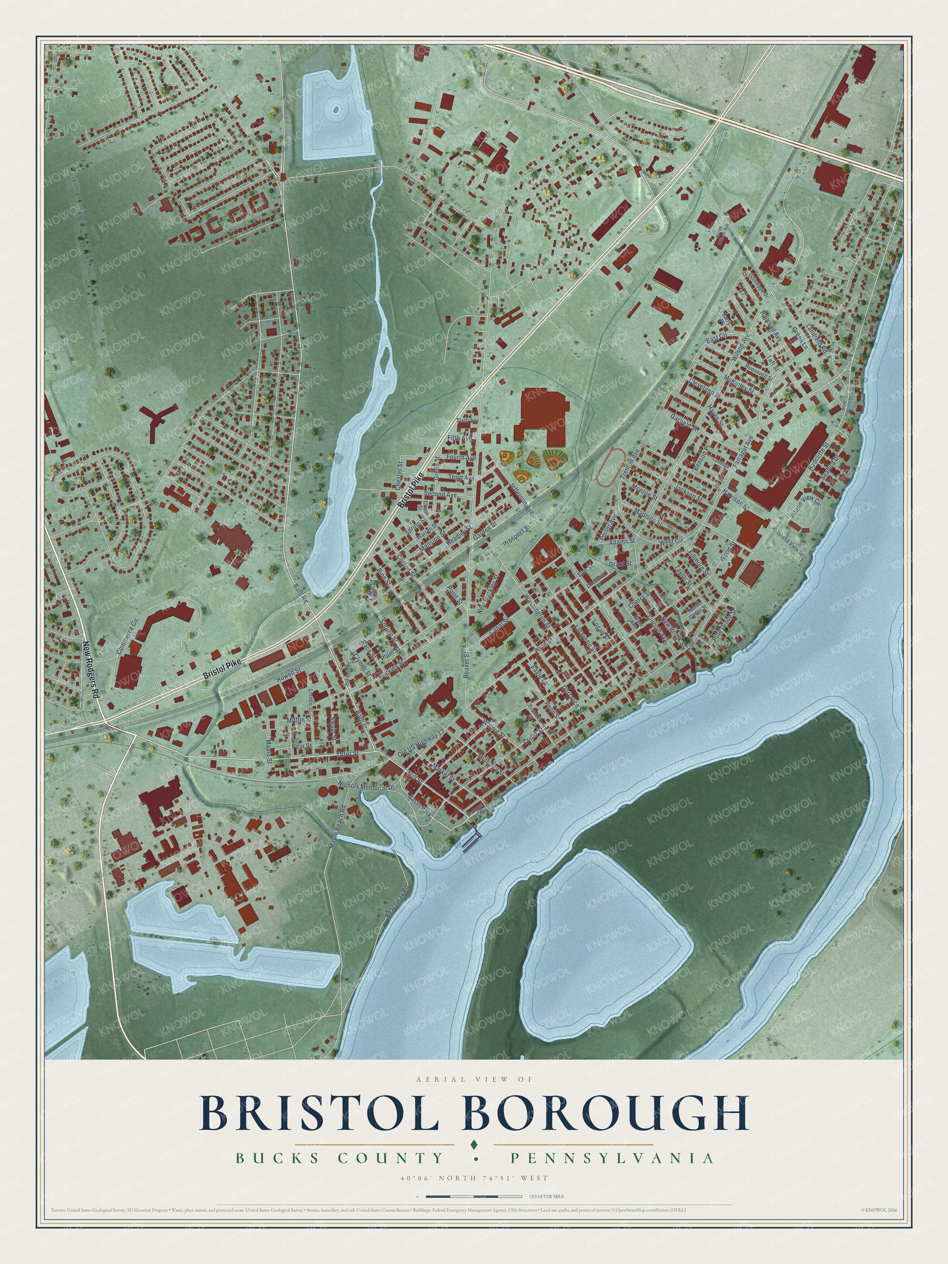
This beautifully detailed map of Bristol Borough, Pennsylvania was created in 2026 using aerial imagery combined with modern topographical, census, street and landmark data. It’s a one-of-a-kind view of Bristol Borough that combines accurate data with a vintage aesthetic. The map shows every building in its true location, many of the roads carry their names, and the shaded topographic relief shows the shape of the land.
Explore an aerial view of Bristol Borough, Pennsylvania
On the map you’ll find Silver Lake Park and Basin Park, along with New Rodgers Road, Bristol Pike, Otter Street, Bath Street, Bath Road, Mill Street, Farragut Avenue, Trenton Avenue, Commerce Circle, Madison Street, and more. If you look closely you can even find your house accurately drawn in its correct location. Zoom in on the preview to look for yours.
Did you know this piece of Bristol Borough, Pennsylvania history?
From the 1876 History of Bucks County, Pennsylvania: "Samuel Carpenter, born in Surry, England, who came to the province from the island of Barbadoes, in 1683, and now a wealthy shipping merchant of Philadelphia, was the largest land-holder in Bristol township at the close of the century."
Take a closer look at the Bristol Borough map
Street and place names on the Bristol Borough, Pennsylvania map
These names are printed on the map of Bristol Borough, Pennsylvania.
Places: Basin Park.
Streets and roads: New Rodgers Road, Bristol Pike, Otter Street, Bath Street, Bath Road, Mill Street, Farragut Avenue, Commerce Circle, Trenton Avenue, Madison Street, Harrison Street, Radcliffe Street.
More street names, A to Z
Adams Street, Barry Place, Beachway Road, Beaver Street, Benson Place, Bristol Street, Brook Street, Buckley Street, Canal Street, Cedar Street, Cherry Street, Chester Street, Chestnut Street, Clear Street, Cleveland Street, Clymer Street, Coolidge Place, Corson Street, Di Guiseppe Drive, Dorrance Street, Eagle Lane, East Circle, Elm Street, Fifth Avenue, Fillmore Street, Fourth Avenue, Franklin Street, Garden Street, Garfield Street, Grant Avenue, Grant Street, Green Lane, Green Street, Hayes Street, Headley Street, Howell Street, Island View Circle, Island View Drive, Jackson Street, Jefferson Avenue, Lafayette Street, Lake Street, Landreth Road, Lincoln Avenue, Linden Street, Locust Street, Logan Street, Mansion Street, Maple Beach Road, Maple Street, Market Street, McKinley Street, Mifflin Street, Monroe Street, Mulberry Street, New Brook Street, New Buckley Street, Nichols Memorial Drive, North Cedar Street, North Radcliffe Street, North Wilson Avenue, Old Bath Road, Old US Highway 13, Pear Street, Penn Street, Pine Grove Street, Pine Street, Plum Street, Point Street, Pond Street, Porter Avenue, Prospect Street, Race Street, Railroad Avenue, Roosevelt Street, Samuel Cliff Drive, Seabird Drive, Second Avenue, Sixth Avenue, Spring Street, Spruce Street, Swain Street, Taft Street, Taylor Street, Third Avenue, Walnut Street, Warren Street, Washington Street, West Circle, Wilson Avenue, Wood Street.
See the Bristol Borough, Pennsylvania map on a wall
The Bristol Borough, Bucks County map as an 18 x 24 inch print in a black frame.

This beautifully detailed map of Borough of Bristol, Bucks County makes an attractive addition to your office, library, or den, and it can even be used to teach children the geography and history of the area. It also makes a great gift for someone who left Bristol Borough and still calls it home. When you’re done exploring, click here to get your copy of the Borough of Bristol, Bucks County map.