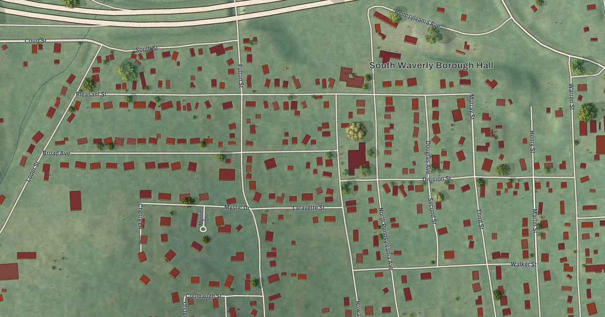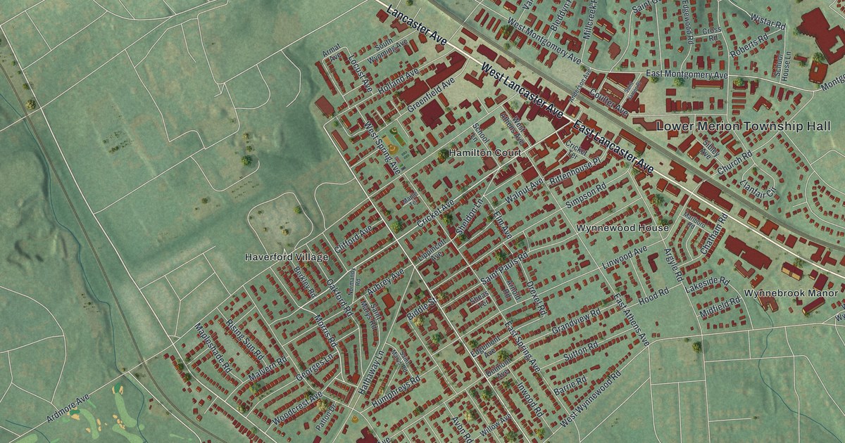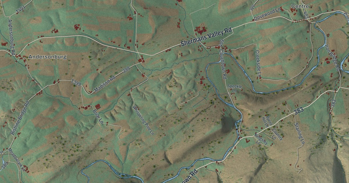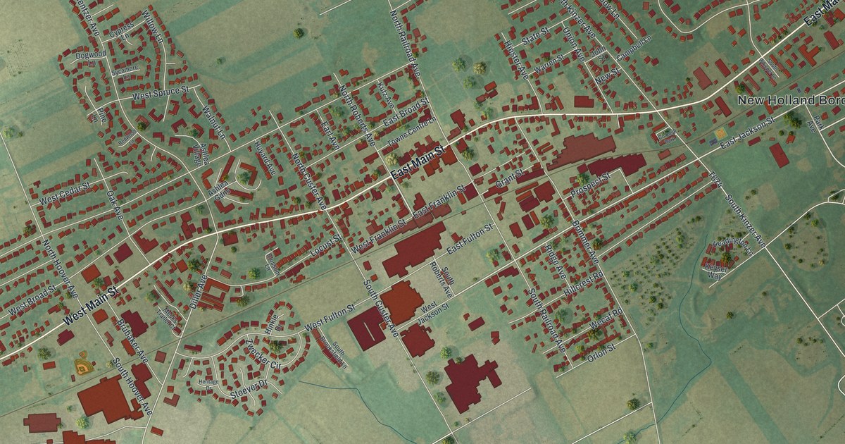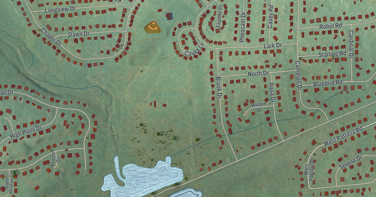
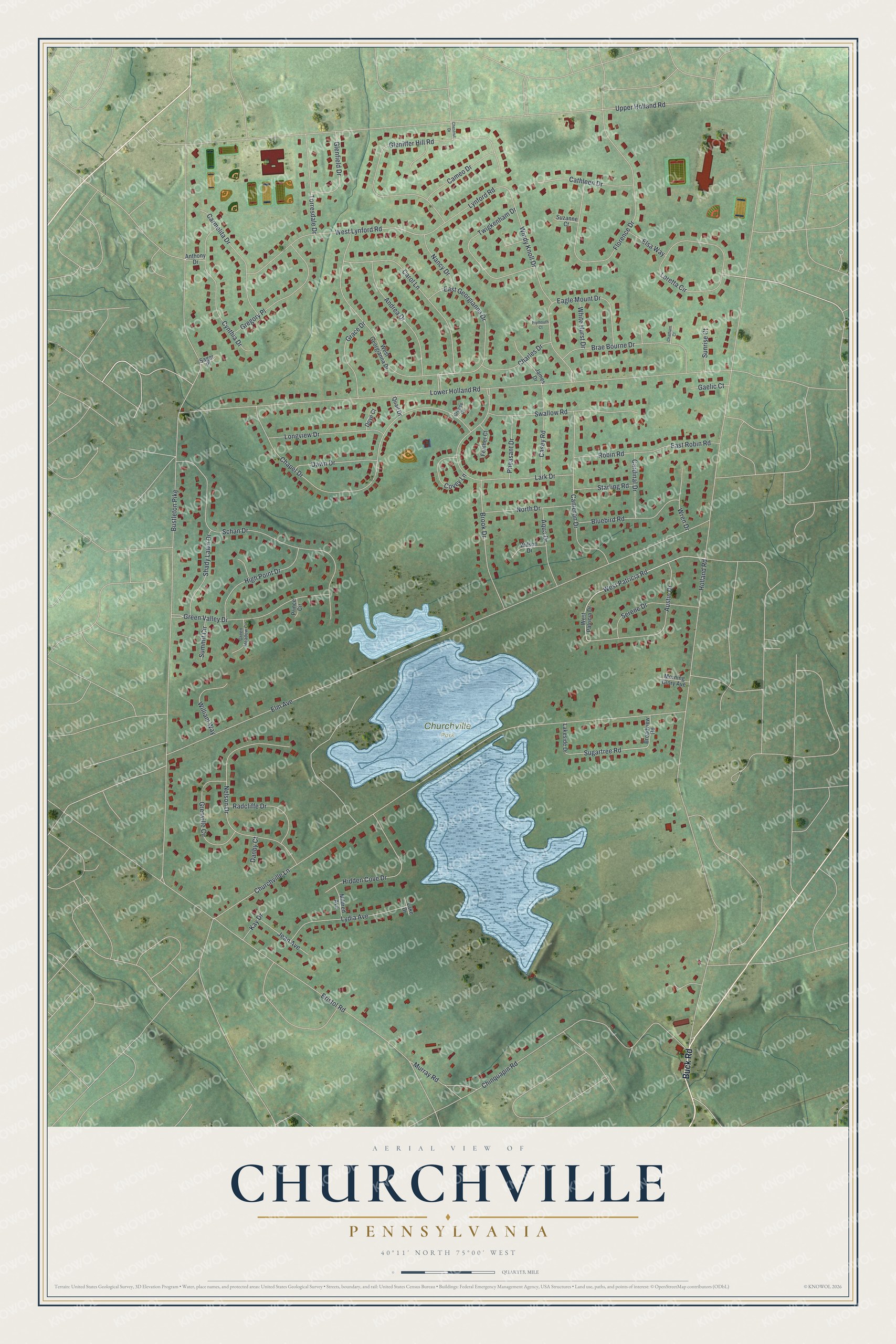
This beautifully detailed map of Churchville, Pennsylvania was created in 2026 using aerial imagery combined with modern topographical, census, street and landmark data. It's a modern aerial view of Churchville in Bucks County, Pennsylvania, that combines modern data with a vintage aesthetic. The roads feature printed names, and if you look closely you can find your exact house accurately shown in its correct location.
Explore an aerial view of Churchville, Pennsylvania
On this map you'll find Churchville Park, Buck Road, West Patricia Road, Sugartree Road, Holland Road, Bustleton Pike, Elm Avenue, Upper Holland Road, Lower Holland Road, Churchville Lane, Chapel Drive, Bristol Road, and more. Each red shape is a building, so zoom in on the preview and look for yours.
Churchville is a community in Bucks County. The Census Bureau counted 5,348 people here in 2020. Churchville sits about 2 miles west of Village Shires, 2 miles south of Richboro and 3 miles north of Feasterville. The map prints the town name in its title panel, with the coordinates below it.
Take a closer look at the Churchville map
Names on this map
These names are printed on this map.
Places: Churchville Park.
Streets and roads: Buck Road, West Patricia Road, Sugartree Road, Holland Road, Bustleton Pike, Elm Avenue, Upper Holland Road, Lower Holland Road, Churchville Lane, Chapel Drive, Bristol Road, Chinquapin Road.
More street names, A to Z
Andrea Drive, Anthony Drive, Aqua Drive, Austin Drive, Bluebird Road, Brae Bourne Drive, Broadview Road, Brook Drive, Cameo Drive, Cameron Drive, Cardinal Drive, Carmelita Drive, Carol Lane, Casey Road, Cathleen Drive, Charles Drive, Chatham Court, Chestnut Drive, Covey Lane, Cynthia Drive, Danby Court, Dawn Drive, Dove Court, Eagle Mount Drive, East Georgianna Drive, East Robin Road, Elsa Way, Feather Court, Florence Drive, Gaelic Court, Glenfield Drive, Gleniffer Hill Road, Grace Drive, Green Meadow Circle, Green Valley Drive, Gregory Place, Grenville Circle, Grouse Court, Hidden Cove Drive, High Point Drive, James Drive, Jean Avenue, Kay Drive, Lake Drive, Lakeside Drive, Lark Drive, Longview Drive, Loretta Circle, Lydia Avenue, Lynford Road, Mildred Avenue, Morning Glory Avenue, Murray Road, Nancy Drive, Nelson Drive, North Drive, Pheasant Drive, Plymouth Court, Prince Circle, Quail Drive, Radcliffe Drive, Robin Road, Sager Place, Schan Drive, Serene Drive, Shady Lawn Drive, Starling Road, Summit Circle, Sunrise Court, Suzanne Court, Swallow Road, Torresdale Drive, Twigkenham Drive, West Georgianna Drive, West Lynford Road, West Patricia Drive, White Hurst Drive, William Way, Wilson Drive, Windy Knoll Drive, Wren Drive.
See it on a wall
The Churchville map as a framed print. Swipe for more.


Created by KNOWOL in 2026. The buildings are small red shapes, the roads carry their printed names, and shaded relief shows the shape of the land. The title panel reads "AERIAL VIEW OF CHURCHVILLE, PENNSYLVANIA" with 40°11' NORTH 75°00' WEST.
It looks right in a kitchen, an office or a den, and it's a gift for anyone who grew up in Churchville or moved away. Open the preview and find your street. See sizes and frames for the Churchville map.