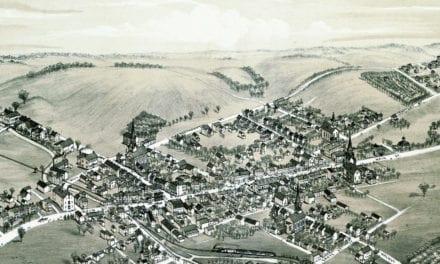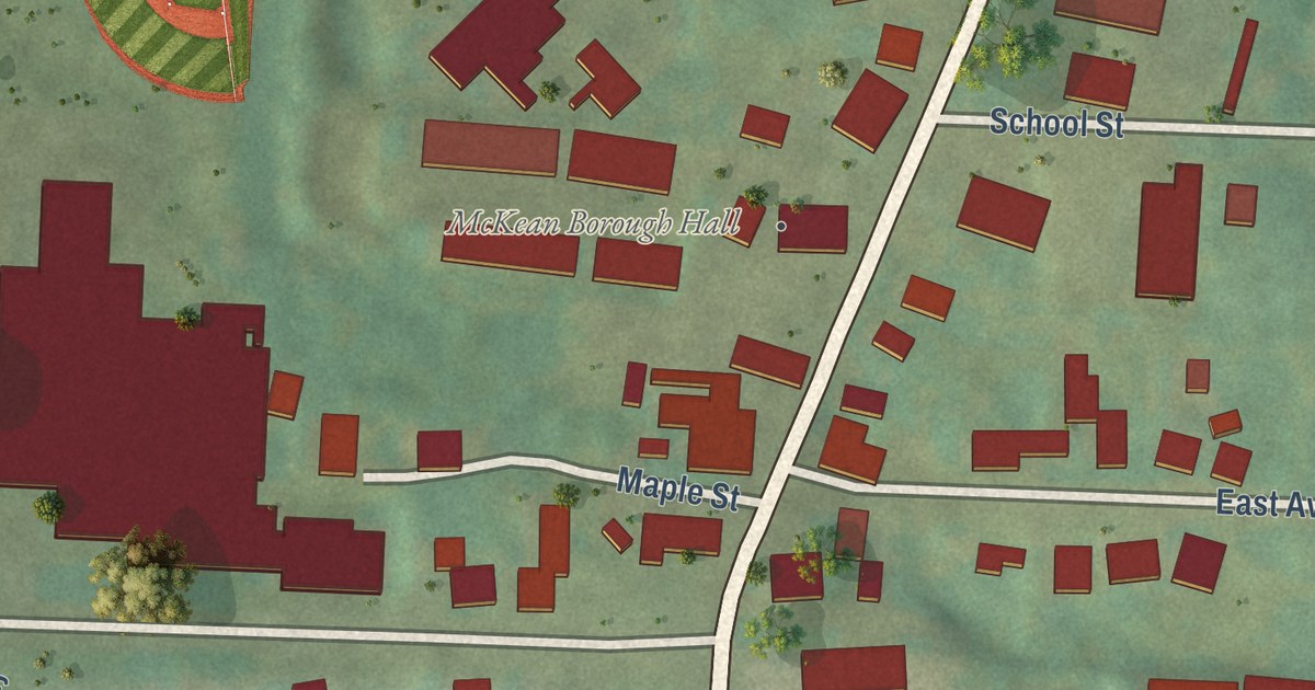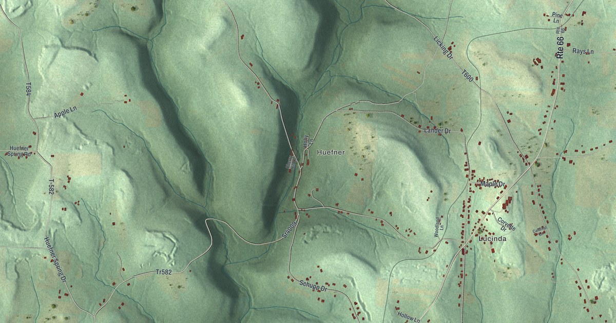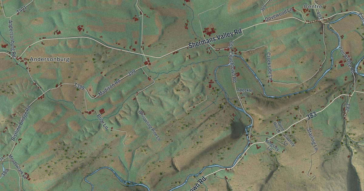
This beautifully detailed map of Southwest Madison, Pennsylvania was created in 2026 using aerial imagery combined with modern topographical, census, street and landmark data. It’s a one-of-a-kind view of Southwest Madison that combines accurate data with a vintage aesthetic. The map shows every building in its true location, many of the roads carry their names, and the shaded topographic relief shows the shape of the land.
Explore an aerial view of Southwest Madison, Pennsylvania
On the map you’ll find Stony Point, Tuscarora State Forest, Andersonburg, Centre, and Couchtown, along with Hidden Valley Road, Couchtown Road, Blain Road, Shermans Valley Road, Doubling Gap Road, Sheaffers Valley Road, and more. If you look closely you can even find your house accurately drawn in its correct location. Zoom in on the preview to look for yours.
Did you know this piece of Southwest Madison, Pennsylvania history?
The Adairs Covered Bridge has crossed Shermans Creek in Southwest Madison Township since 1864. Locals also call it the Cisna Mill Covered Bridge. The wooden Burr truss span is 150 feet long and was rebuilt in 1919. It joined the National Register of Historic Places in 1980.
Take a closer look at the Southwest Madison map
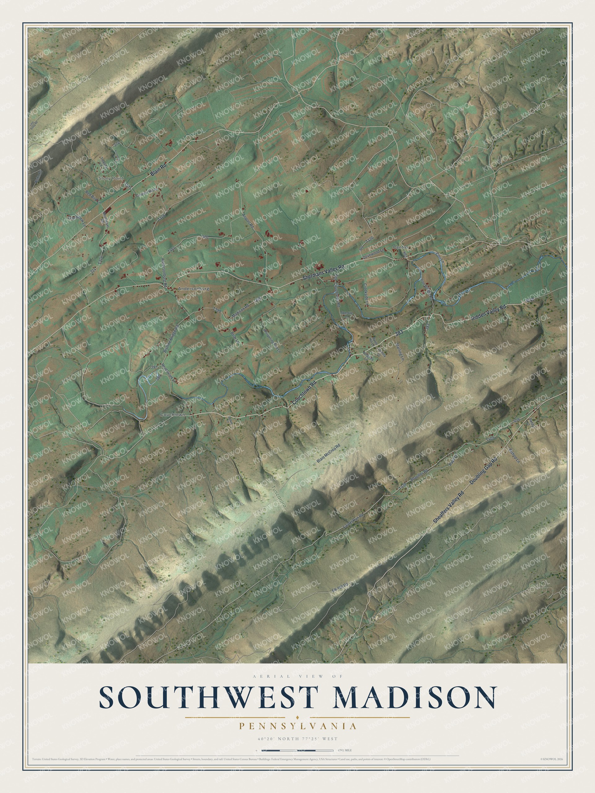
Street and place names on the Southwest Madison, Pennsylvania map
These names are printed on the map of Southwest Madison, Pennsylvania.
Places: Stony Point, Tuscarora State Forest, Andersonburg, Centre and Couchtown.
Streets and roads: Hidden Valley Road, Couchtown Road, Blain Road, Shermans Valley Road, Doubling Gap Road, Sheaffers Valley Road, Bistline Bridge Road, Shaeffer Road, Elk Hill Road, Laurel Run Road, Blain McCrea Road, Airport Road.
More street names, A to Z
Andersonburg Road, Arrowhead Lane, Bernheisel Road, Bishop Lane, Briar Lane, Burnt Hill Lane, Cardinal Hill Road, Cori Lane, Country Lane, Creekside Lane, Dandy Lane, Dovewood Lane, Grandview Lane, Iron Bridge Road, Kingsley Lane, Kuhn Drive, Little Valley Road, Madison Road, Meadowlark Lane, Paps Lane, Red Bird Lane, Sedum Lane, Speckle Lane, Starling Lane, Treeline Lane, Whispering Pine Lane.
See the Southwest Madison, Pennsylvania map on a wall
The Southwest Madison map as an 18 x 24 inch print in a black frame.

This beautifully detailed map of Southwest Madison makes an attractive addition to your office, library, or den, and it can even be used to teach children the geography and history of the area. It also makes a great gift for anyone with Southwest Madison roots. When you’re done exploring, click here to get your copy of the Southwest Madison map.