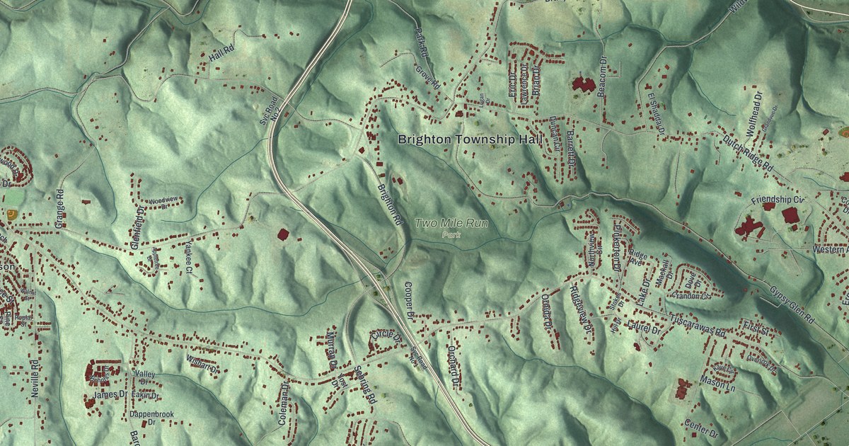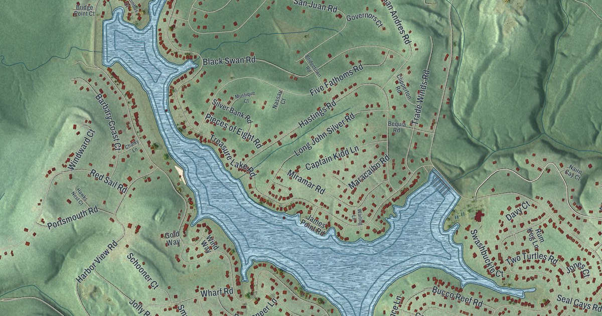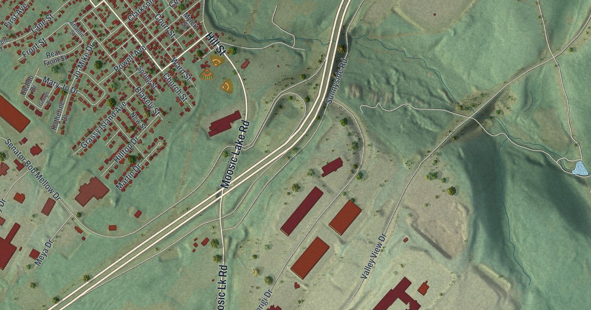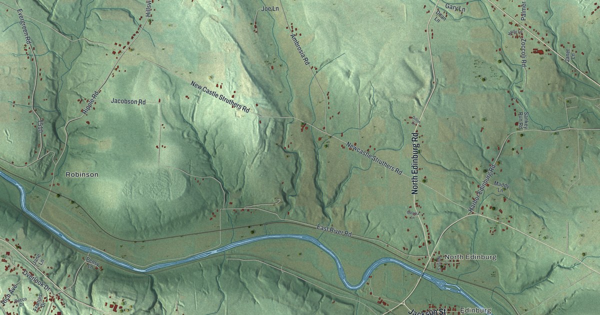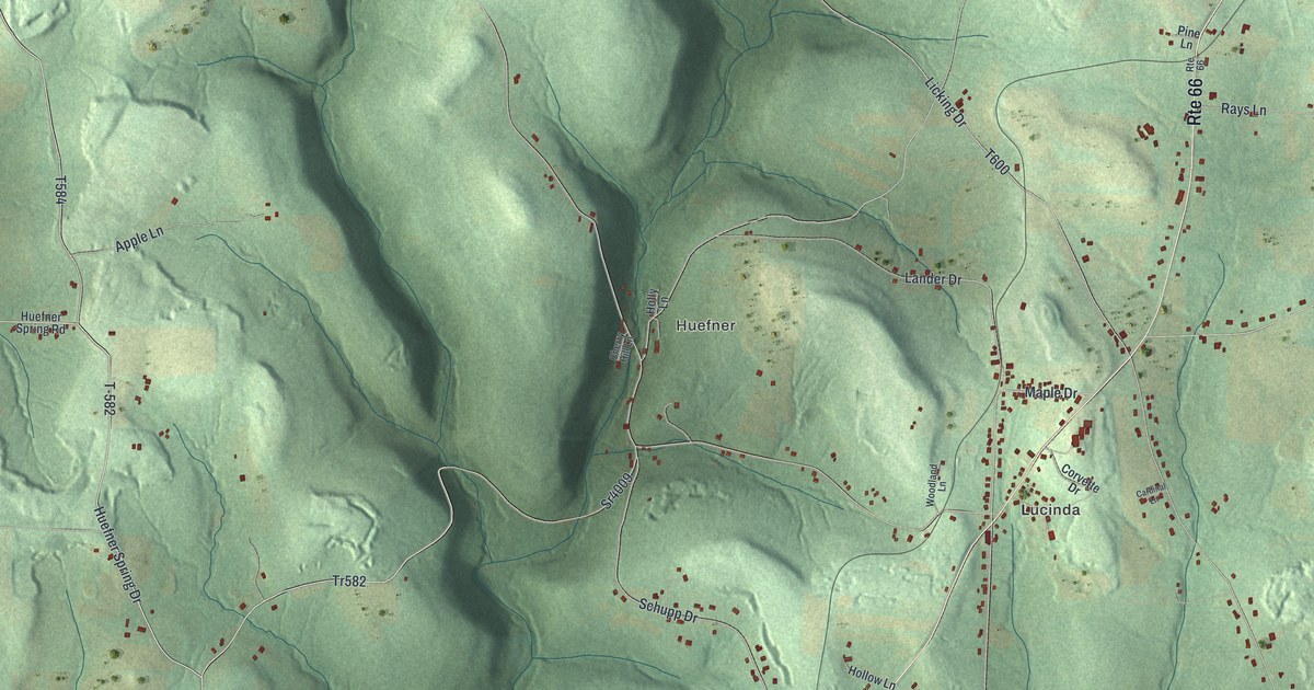
This beautifully detailed map of Knox Township, Clarion County, Pennsylvania was created in 2026 using aerial imagery combined with modern topographical, census, street and landmark data. It’s a one-of-a-kind view of Knox Township that combines accurate data with a vintage aesthetic. The map shows every building in its true location, many of the roads carry their names, and the shaded topographic relief shows the shape of the land.
Explore an aerial view of Knox Township, Clarion County, Pennsylvania
On the map you’ll find Snydersburg, Lucinda, Huefner, T-582, T-584, and Marble, along with Koehler Drive, Eckel Drive, Huefner Spring Drive, Sunset Drive, and more. If you look closely you can even find your house accurately drawn in its correct location. Zoom in on the preview to look for yours.
Did you know this about Knox Township, Clarion County, Pennsylvania?
From Pa-roots.com: "One night, hearing the squealing of a hog, he took his trusty gun, ran out in undress and found a bear devouring a stray porker."
Take a closer look at the Knox Township, Clarion County map
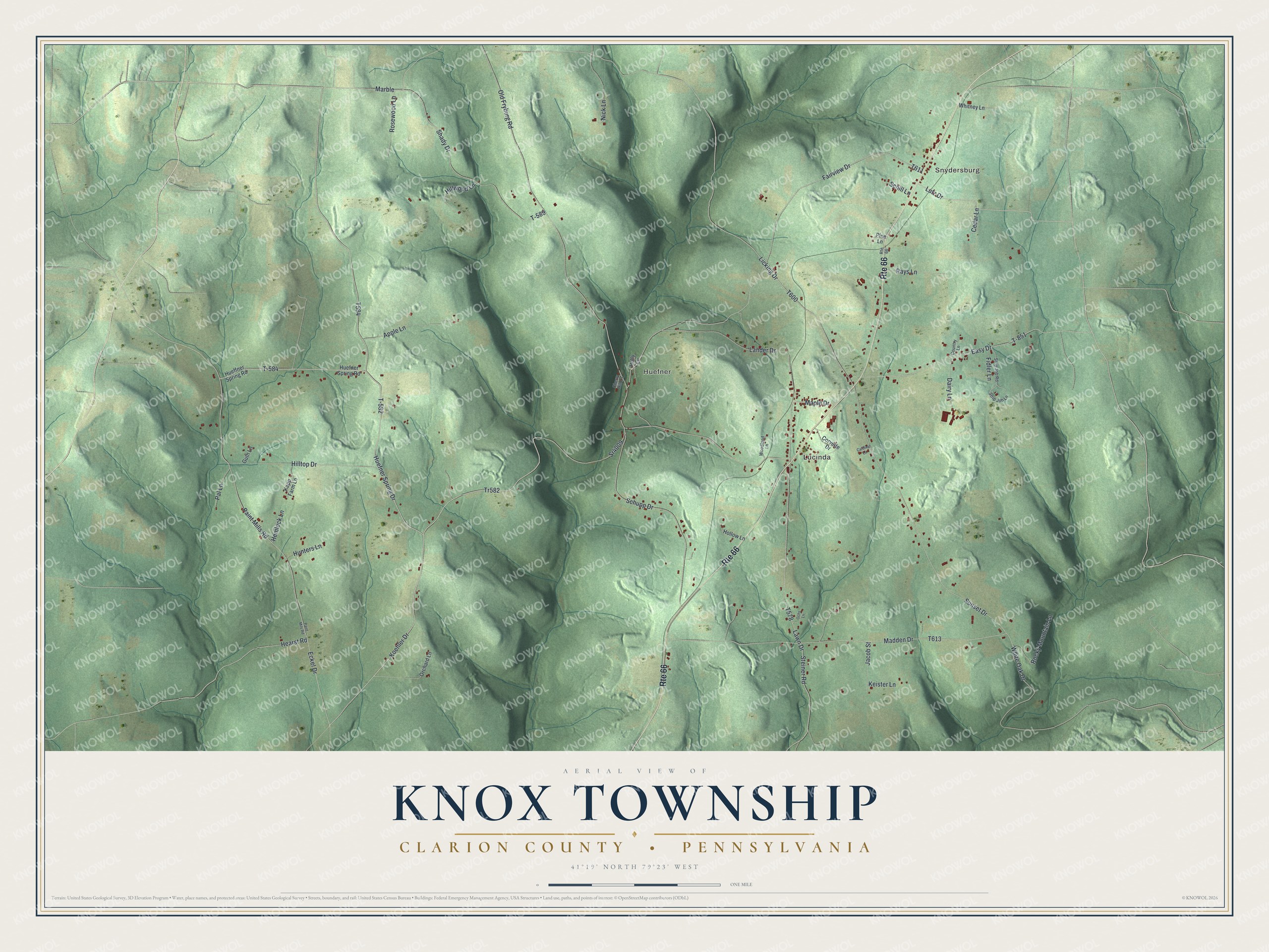
Street and place names on the Knox Township, Clarion County, Pennsylvania map
These names are printed on the map of Knox Township, Clarion County, Pennsylvania.
Places: Snydersburg, Lucinda and Huefner.
Streets and roads: Route 66, T-582, T-584, Koehler Drive, Tr582, Eckel Drive, Huefner Spring Drive, Marble, Sunset Drive, Lutz Drive, White Oak Drive, Maple Drive.
More street names, A to Z
Apple Lane, Cardinal Lane, Cedar Lane, Cherry Hill Lane, Corvette Drive, Country Lane, Dairy Lane, Easy Drive, Fairview Drive, Fidler Lane, Guth Lane, Hearst Road, Hemlock Lane, Hilltop Drive, Hillwood Lane, Hollow Lane, Holly Lane, Hueffner Spring Road, Huefner Spring Road, Hunters Lane, Jacob Street, Kapp Farm Lane, Keister Lane, Lander Drive, Lawn Drive, Licking Drive, Madden Drive, Nick Lane, Ochs Lane, Old Fryburg Road, Orchard Lane, Paint Mills Road, Paint Mils Road, Pal Lane, Pine Lane, Rays Lane, Rocky Mountain Lane, Rosewood Lane, Schill Lane, Schupp Drive, Shady Drive, Sr4009, Steiner Road, Strip Job Lane, Strip Job Road, T-589, T-851, Whitney Lane, Woodland Lane.
See the Knox Township, Clarion County, Pennsylvania map on a wall
The Knox Township, Clarion County map as an 18 x 24 inch print in a black frame.

This beautifully detailed map of Knox, Clarion County makes an attractive addition to your office, library, or den, and it can even be used to teach children the geography and history of the area. It also makes a great gift for someone who left Knox Township and still calls it home. When you’re done exploring, click here to get your copy of the Knox, Clarion County map.