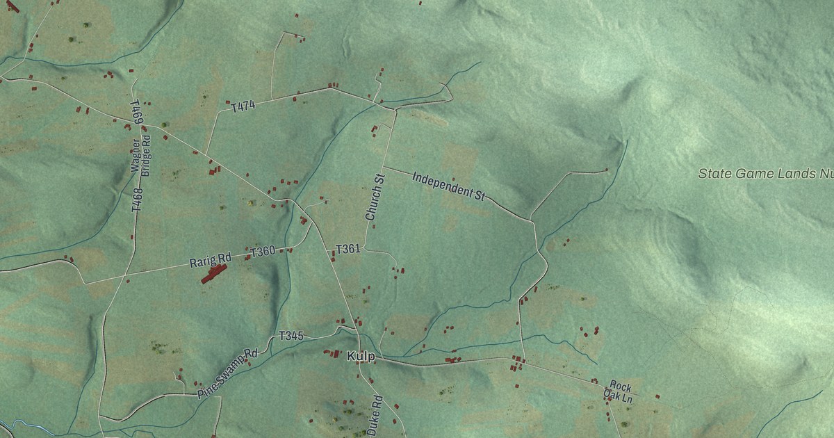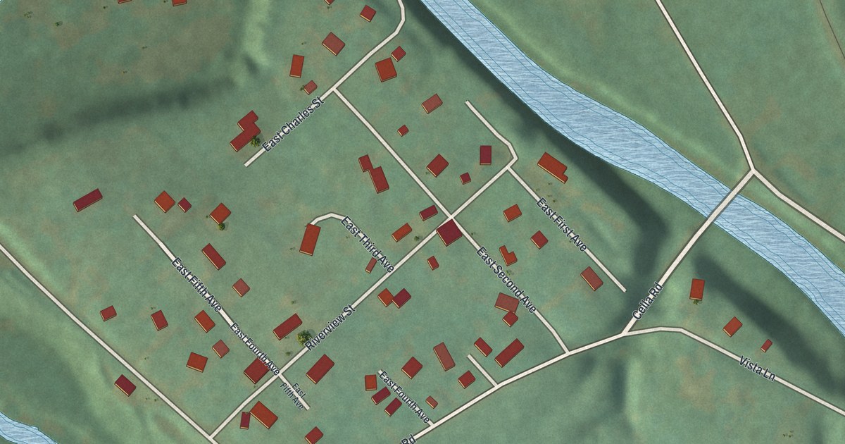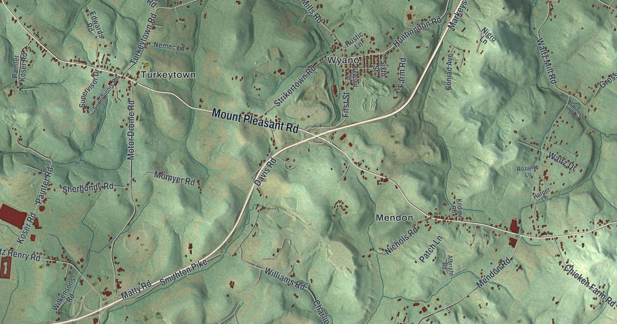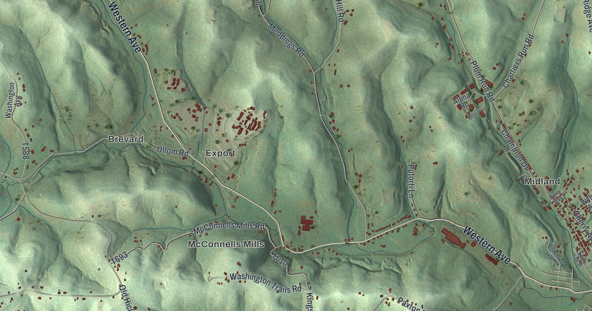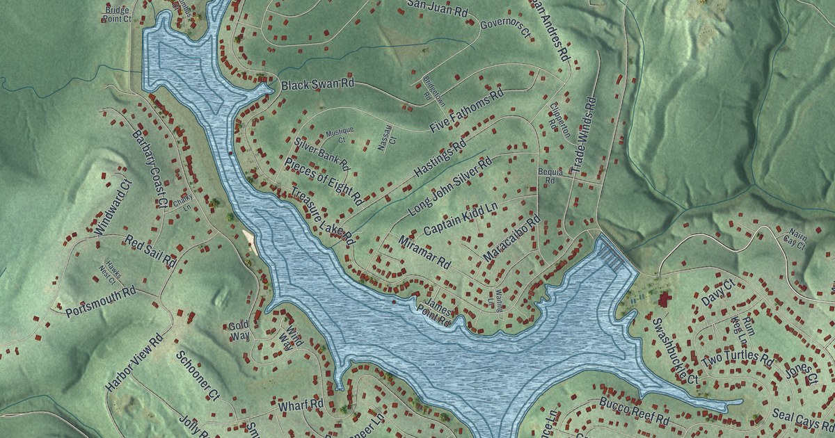
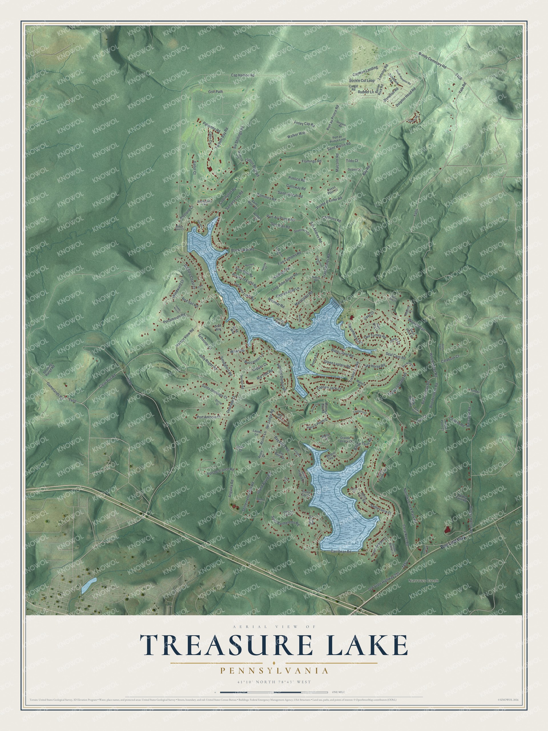
This beautifully detailed map of Treasure Lake, Pennsylvania was created in 2026 using aerial imagery combined with modern topographical, census, street and landmark data. It's a modern aerial view of Treasure Lake in Clearfield County, Pennsylvania, that combines modern data with a vintage aesthetic. The roads feature printed names, and if you look closely you can find your exact house accurately shown in its correct location.
Explore an aerial view of Treasure Lake, Pennsylvania
On this map you'll find Narrows Creek, Bee Line Highway, Hungry Hollow Road, T404, Woolendean Road, T399, Woolendean, Bundy Cemetary Road, Beacon Cay Road, Buckle Cut Loop, Bay Road, Port-Au-Prince Road, and more. Each red shape is a building, so zoom in on the preview and look for yours.
Treasure Lake has a story worth telling. Treasure Lake was planned as a lakeside community. When the first lots were sold, the lake was only a small farm pond. Water from Wolf Creek was then turned into the dug-out lake bed, making a lake of 379 acres up to 70 feet deep, stocked with bass and trout. That's from the Lakelubbers lake guide.
Treasure Lake is a community in Clearfield County. The Census Bureau counted 5,460 people here in 2020.
Take a closer look at the Treasure Lake map
Names on this map
These names are printed on this map.
Places: Narrows Creek and Treasure Lake.
Streets and roads: Bee Line Highway, Hungry Hollow Road, Woolendean Road, Woolendean, Bundy Cemetary Road, Beacon Cay Road, Buckle Cut Loop, Bay Road, Port-Au-Prince Road, Woodendean Road, Clear Run Road, Clifton Bluff Road.
More street names, A to Z
Acklins Lane, Acorn Drive, Acorn Lane, Adderly Court, Admiral Dunbar Road, Anchor Road, Anguilla Road, Bank Bluff Road, Banks Bluff Court, Barbary Coast Court, Barren Rock Road, Bascayne Road, Basil Rock Court, Basse Terre Road, Bay Berry Drive, Bay Berry Road, Bequia Road, Blackbeards Lair, Black Swan Road, Blue Spruce Circle, Bonefish Road, Bridge Point Court, Bridgetown Road, Buccaneer Lane, Bucco Reef Road, Cabin Circle, Calabash Court, Cap Haitien Road, Captain Jack Court, Captain Kidd Lane, Cargill Road, Carribean Road, Castleton Court, Cayman Landing, Caymons Road, Chalky Lane, Clipper Court, Clipperton Road, Codrington Road, Columbus Court, Coral Reef Road, Cotland Road, Crooked Island Road, Culebra Court, Daffodil Lane, Davy Court, Daxon Point Court, Desirade Court, Devils Cay Court, Dolphin Head Road, Dominica Road, Dorado Road, Finley Cay Road, Five Fathoms Road, Flamingo Road, Fort de France Road, Gallot Court, Galloway Road, Gamelands Road, Gold Way, Golf Path, Gorgann Road, Governors Court, Grand Bourg Road, Grande Terrace Court, Greater Antilles Court, Great Inagua Court, Green Cay Court, Green Lantern Road, Guana Court, Harbor View Road, Hastings Road, Hawks Nest Court, James Point Road, Jolly Roger Road, Jones Court, Jumento Cays Court, Lansing Road, Laurel Lane, Lesser Antilles Court, Long John Silver Road, Malcolm Road, Maracaibo Road, Matura Road, Miramar Road, Montego Bay Road, Mustique Court, Nairn Cay Court, Narrows Creek Lane, Narrows Creek Park Road, Nassau Court, Navidad Bank Court, Nova Court, Old State Highway 255, Palmetto Road, Piece & Plenty Court, Pieces of Eight Road, Pier Court, Pimlico Road, Pinder Point Court, Plymouth Court, Pointe D'Enfer Road, Ponce Lane, Port Antonia Court, Port au Prince Loop, Port au Prince Road, Portland Court, Portsmouth Road, Red Sail Road, Rip Tide Road, Rudder Lane, Rum Keg Lane, Saint Barthelemy Road, Saint Joseph Road, Saint Marc Road, Saint Martin Road, Samana Cay Road, San Andres Road, Sandbank Road, San Juan Road, Santa Lucia Court, Santa Lucia Road, Santo Domingo Court, Schooner Court, Sea Horse Road, Seal Cays Road, Settlement Point Road, Shelly Court, Shooting Range Road, Shroud Cay Court, Silver Bank Road, Six Shillings Road, Ski Lodge Road, Smugglers Road, South Hampton Road, Stirrup Court, Swashbuckle Court, Tarpum Bay Road, Tildo Court, Tinkers Road, Town Center Circle, Trade Winds Road, Treasure Lake Road, Turkey Farm Road, Two Turtles Road, Villa Court, Waderick Road, Waiting Lane, Walker Way, Wharf Road, Windward Court, Wind Way, Wolf Run Court, Yacht Court, Yale Road.
See it on a wall
The Treasure Lake map as a framed print. Swipe for more.


Created by KNOWOL in 2026. The buildings are small red shapes, the roads carry their printed names, and shaded relief shows the shape of the land. The title panel reads "AERIAL VIEW OF TREASURE LAKE, PENNSYLVANIA" with 41°10' NORTH 78°43' WEST.
It looks right in a kitchen, an office or a den, and it's a gift for anyone who grew up in Treasure Lake or moved away. Open the preview and find your street. See sizes and frames for the Treasure Lake map.