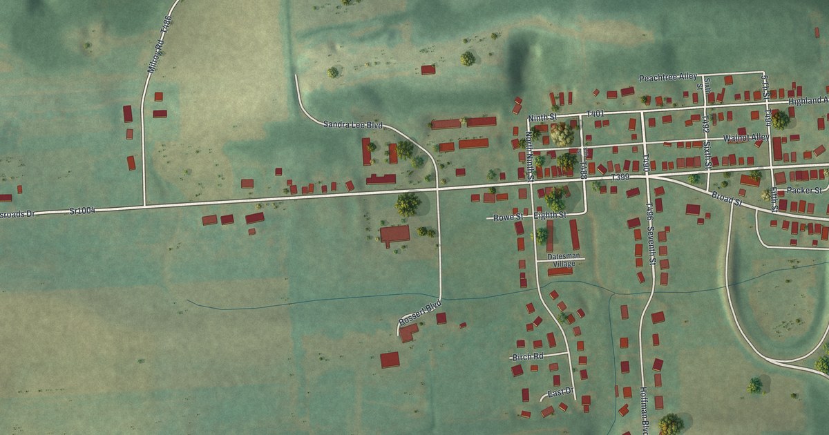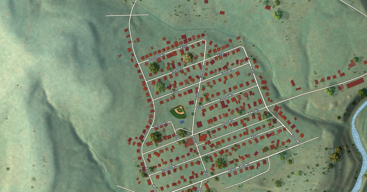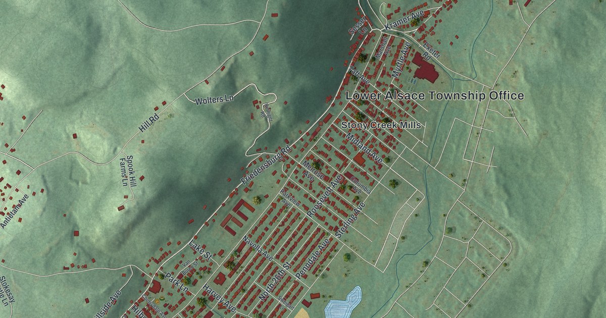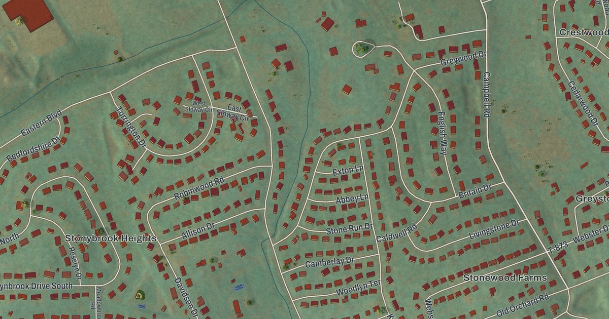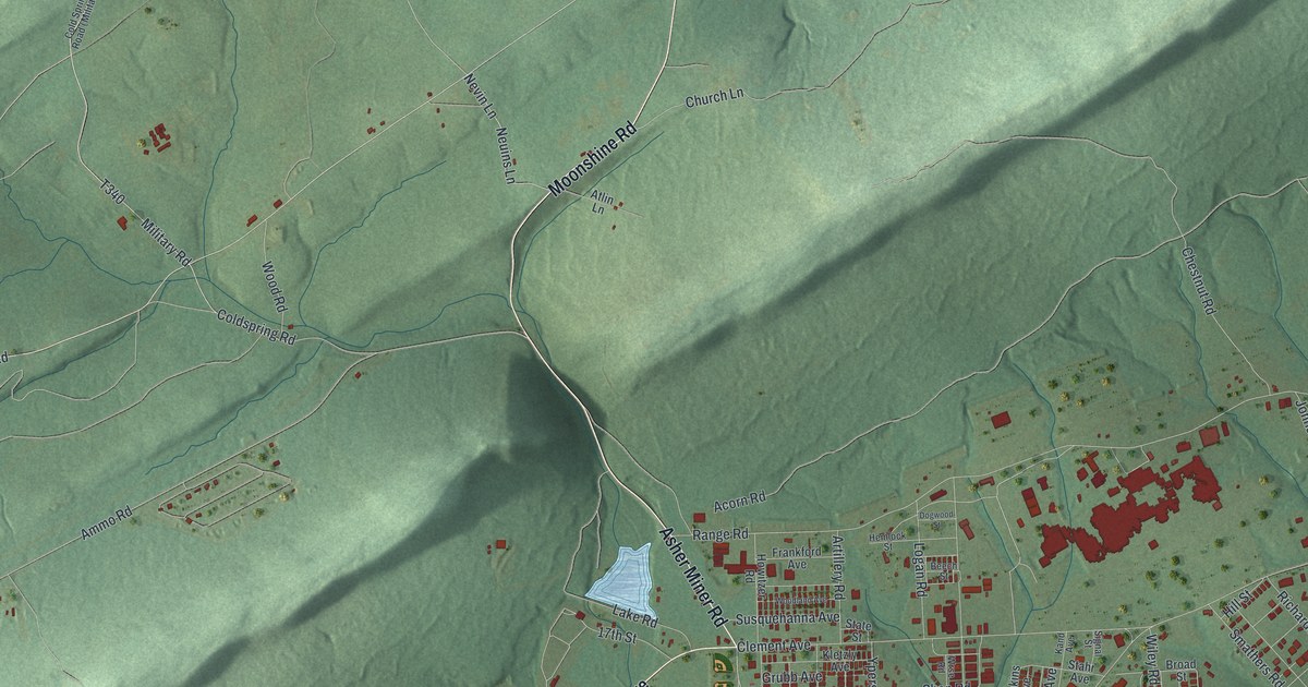
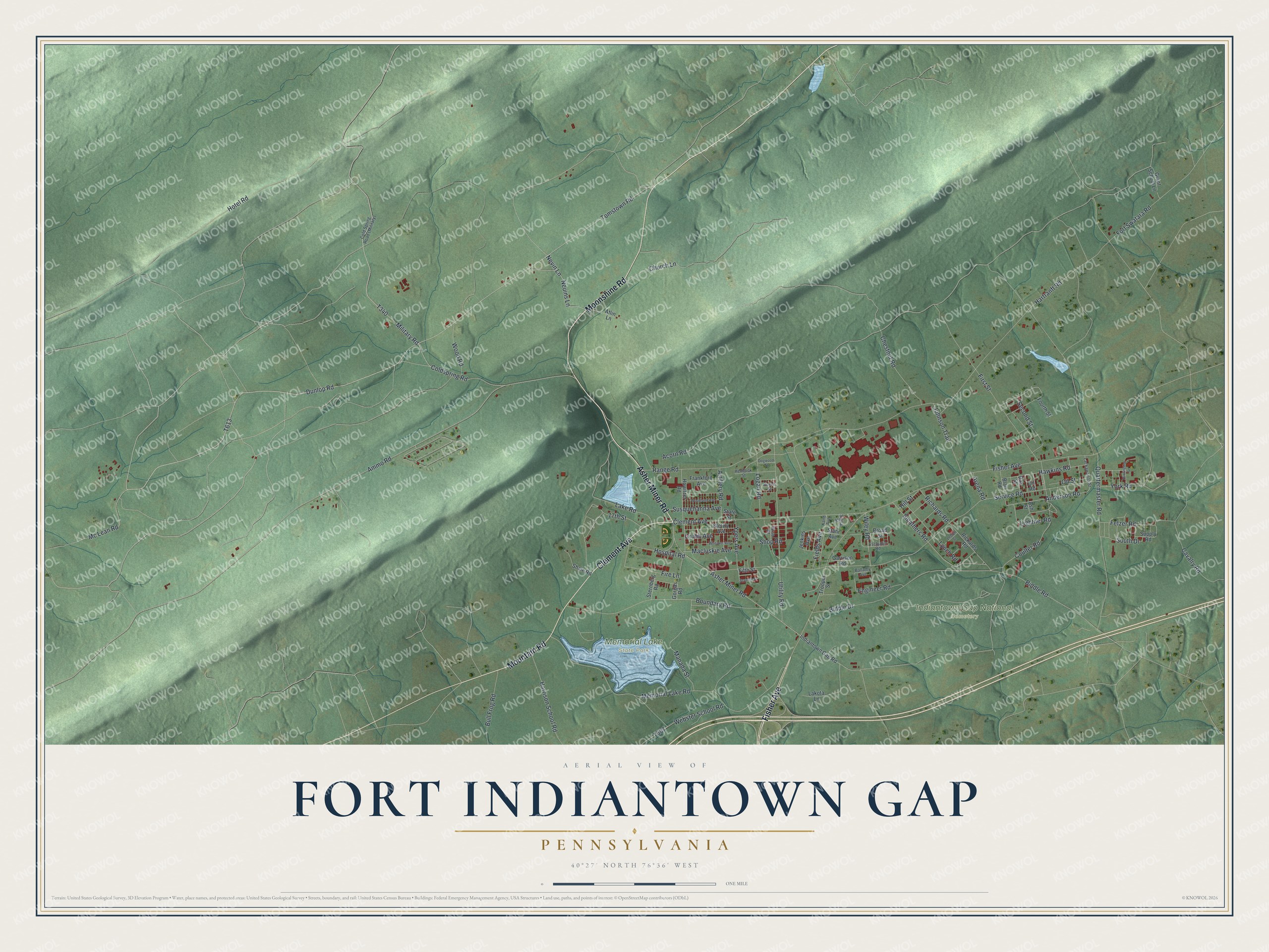
This beautifully detailed map of Fort Indiantown Gap, Pennsylvania was created in 2026 using aerial imagery combined with modern topographical, census, street and landmark data. It's a modern aerial view of Fort Indiantown Gap in Lebanon County, Pennsylvania, that combines modern data with a vintage aesthetic. The roads feature printed names, and if you look closely you can find your exact house accurately shown in its correct location.
Explore an aerial view of Fort Indiantown Gap, Pennsylvania
On this map you'll find Indiantown Gap National Cemetery, Memorial Lake State Park, Asher Miner Road, Moonshine Road, Clement Avenue, Fisher Avenue, Mountain Road, Dunlop Road, Tomstown Road, Mc Lean Road, Military Road, Ammo Road, and more. Each red shape is a building, so zoom in on the preview and look for yours.
Fort Indiantown Gap has a story worth telling. Fort Indiantown Gap took its name from the American Indian village called Indiantown and the gap in Blue Mountain where that village stood. It was set up in 1931 as a National Guard training center, and in the Second World War it trained seven Army divisions. Memorial Lake was made there in 1945 to honor Pennsylvania National Guard soldiers who served in both world wars. That's from the Pennsylvania state parks bureau.
Fort Indiantown Gap is a community in Lebanon County. The Census Bureau counted 68 people here in 2020.
Take a closer look at the Fort Indiantown Gap map
Names on this map
These names are printed on this map.
Places: Indiantown Gap National Cemetery and Memorial Lake State Park.
Streets and roads: Asher Miner Road, Moonshine Road, Clement Avenue, Fisher Avenue, Mountain Road, Dunlop Road, Tomstown Road, Mc Lean Road, Military Road, Ammo Road, Anderson Road, Biddle Road.
More street names, A to Z
17th Street, Acorn Road, Arena Road, Artillery Road, Ash Street, Atlin Lane, Ballamy Avenue, Beech Street, Biddle Drive, Blair Road, Boundary Road, Broad Street, Bull Frog Road, Cavalry Road, Chestnut Road, Church Lane, Coldspring Road, Coulter Road, Dogwood Street, Engineer Road, Fetzer Road, Fields Avenue, Fifth Street, Fire Lane, First Street, Fort Swatara Road, Fourth Street, Frankford Avenue, Garrison Road, Gorgas Road, Grant School Lane, Grubb Avenue, Harrison School Road, Hartranft Road, Hawkins Road, Hemlock Street, Hill Street, Hospital Road, Hotel Road, Howitzer Road, Huntingdon Street, Indiantown Gap Road, Jenkins Avenue, Johnson Trail, Kand Avenue, Kletzly Avenue, Lackawanna Street, Lake Road, Lakota Lane, Leetch Street, Lightner Road, Logan Road, Lynch Road, Macluskie Avenue, Manada Street, Memorial Lake Road, Neuins Lane, Nevin Lane, Oak Street, Oil Road, Oil Street, Quartermaster Road, Range Road, Richards Road, Rickards Road, Second Street, Service Road, Seventh Street, Shale Road, Shop Road, Signal Street, Smathers Road, South Drive, Stahr Avenue, State Street, Sternberg Road, Supply Road, Susquehanna Avenue, Trooper Street, Tschudin Road, Utility Road, Webster School Road, Whitaker Avenue, Wiley Road, Woodland Avenue, Wood Road, Wrse Road, York Road, Ypers Avenue.
See it on a wall
The Fort Indiantown Gap map as a framed print. Swipe for more.


Created by KNOWOL in 2026. The buildings are small red shapes, the roads carry their printed names, and shaded relief shows the shape of the land. The title panel reads "AERIAL VIEW OF FORT INDIANTOWN GAP, PENNSYLVANIA" with 40°27' NORTH 76°36' WEST.
It looks right in a kitchen, an office or a den, and it's a gift for anyone who grew up in Fort Indiantown Gap or moved away. Open the preview and find your street. See sizes and frames for the Fort Indiantown Gap map.