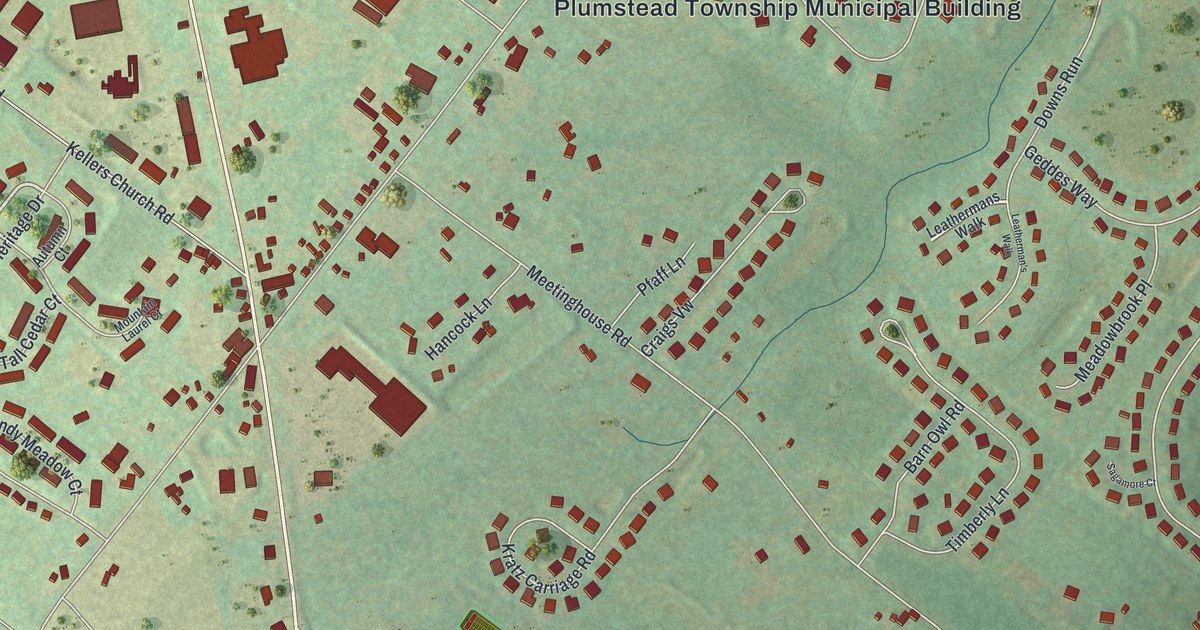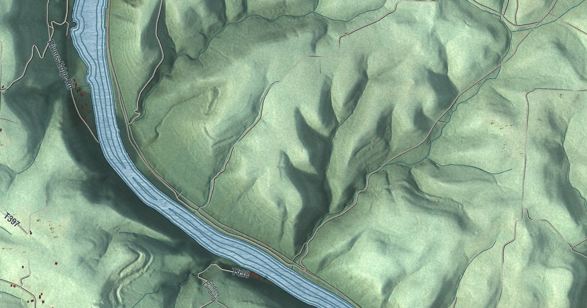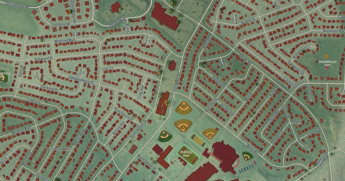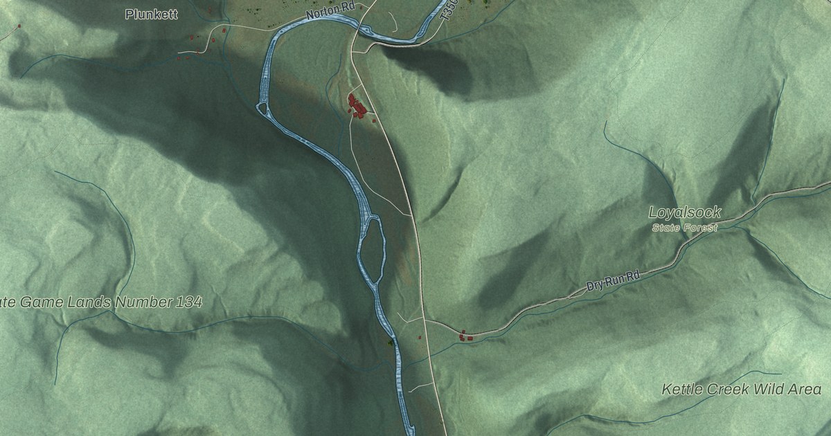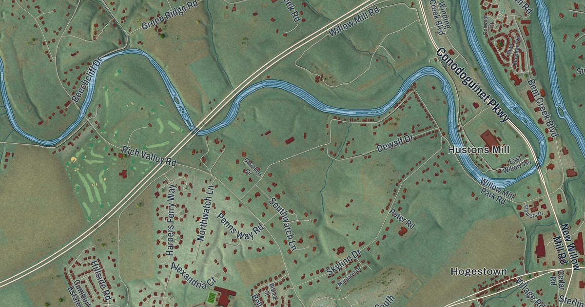
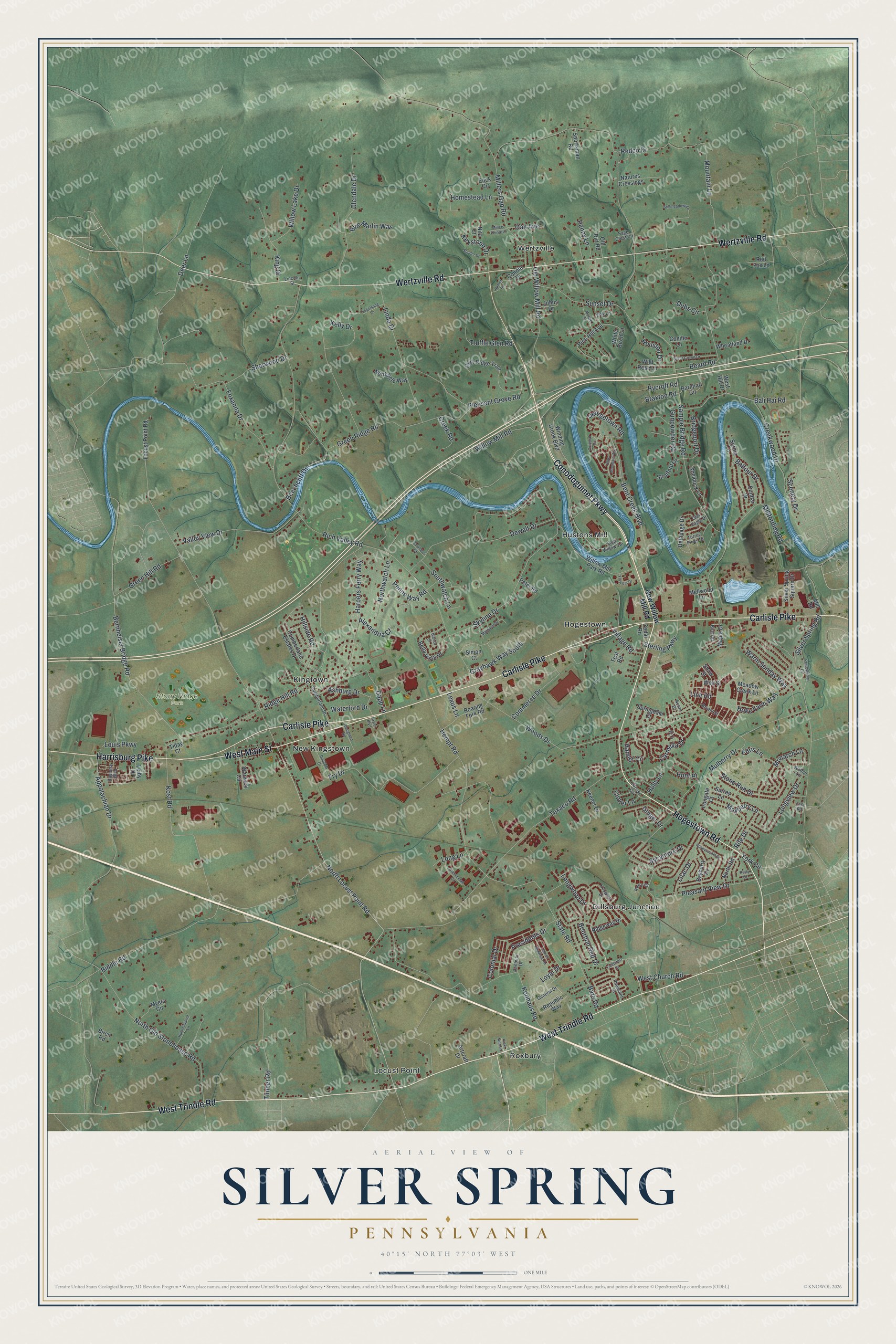
This beautifully detailed map of Silver Spring, Pennsylvania was created in 2026 using aerial imagery combined with modern topographical, census, street and landmark data. It’s a one-of-a-kind view of Silver Spring that combines accurate data with a vintage aesthetic. The map shows every building in its true location, many of the roads carry their names, and the shaded topographic relief shows the shape of the land.
Explore an aerial view of Silver Spring, Pennsylvania
On the map you’ll find Stony Ridge Park, Dillsburg Junction, Hogestown, Hustons Mill, Kingtown, Locust Point, New Kingstown, Roxbury, and Wertzville, along with West Trindle Road, Conodoguinet Parkway, Carlisle Pike, and more. If you look closely you can even find your house accurately drawn in its correct location. Zoom in on the preview to look for yours.
Did you know this piece of Silver Spring, Pennsylvania history?
From the 1886 History of Cumberland and Adams Counties, Pennsylvania: "The treo was grazed with the Indians' balls, and he had thoughts of making his escape by flight, but, on reflection, had doubts of his being able to outrun them."
Take a closer look at the Silver Spring map
Street and place names on the Silver Spring, Pennsylvania map
These names are printed on the map of Silver Spring, Pennsylvania.
Places: Stony Ridge Park, Dillsburg Junction, Hogestown, Hustons Mill, Kingtown, Locust Point, New Kingstown, Roxbury and Wertzville.
Streets and roads: West Trindle Road, Conodoguinet Parkway, Carlisle Pike, West Main Street, Wertzville Road, Hogestown Road, Harrisburg Pike, North Locust Point Road, Longwood Drive, West Church Road, State Road, Sample Bridge Road.
More street names, A to Z
Acorn Drive, Alexandria Court, Appalachian Drive, Artcraft Drive, Ashburg Drive, Balfour Drive, Bali Hai Road, Bare Road, Barnhart Circle, Bayberry Drive, Beard Road, Beechcliff Drive, Bella Vista Drive, Bent Creek Boulevard, Bernheisel Bridge Road, Bethpage Drive, Bianca Court, Biddle Road, Birch Road, Birch Street, Blue Marlin Way, Blue Mountain Vis, Bourbon Red Drive, Braxton Road, Brenneman Circle, Bridgeport Drive, Bryant Street, Carmella Drive, Carothers Circle, Cedar Road, Clover Lane, Colonial Court, Colonial Drive, Commerce Drive, Conifer Lane, Connie Drive, Creek Road, Creekwood Drive, Cumberland Drive, Cumberland Estates Drive, Danbury Drive, Dapp Lane, Dauphin Drive, Daytona Boulevard, Deer Lane, Dewalt Drive, Doughten Road, Dubs Circle, Dunbar Drive, East Road, East Willow Terrace, Edris Lane, Enck Circle, Fieldcrest Drive, Flowers Drive, Foxanna Drive, Fry Drive, General Drive, Georgetown Road, Ginger Drive, Glendale Drive, Glen Eagle Drive, Grayhawk Way South, Green Hill Road, Green Ridge Road, Gunpowder Road, Hamlet Circle, Harpers Ferry Way, Hempt Road, High Ridge Trail, Hillside Road, Hoke Farm Way, Holly Lane, Homestead Lane, Honeysuckle Drive, Houston Drive, Humer Drive, Hummingbird Lane, Hunt Place, Irongate Court, James Madison Drive, Johns Drive, Keener Drive, Kelly Drive, Kerry Court, Keswick Drive, Keystone Drive, King Drive, Konhaus Road, Kost Road, Lee Ann Lane, Leiby Drive, Lexus Lane, Lilac Drive, Lilly Lane, Lincoln Street, Linda Drive, Line Road, Locust Circle, Locust Point Road, Long Lane, Longview Drive, Louis Parkway, Loyal Drive, Maple Drive, Marble Street, Margaret Drive, Mayberry Lane, Meadow Creek Lane, Mellwood Lane, Millers Gap Road, Millers Pointe Lane, Millfording Road, Mill Road, Monarch Lane, Mountain Lane, Mulberry Drive, Myers Circle, Natures Crossings, New Willow Mill Road, Nita Court, Northfield Way, North Old Stonehouse Road, North Road, Northwatch Lane, Oak Avenue, Oak Lane, Old Dirt Road, Old Willow Mill Road, Penns Way Road, Penny Lane, Peter Road, Pheasant Street, Pine Hill Avenue, Pleasant Grove Road, Pleasant View Drive, Presbyterian Drive, Presidents Drive, Redco Drive, Red Fox Lane, Republic Way, Rich Valley Road, Ridge Hill Road, Ridgeway Drive, Rife Drive, Roaring Fork Road, Rusty Drive, Rycroft Road, Sage Crest Circle, Scenery Drive, Shaw Street, Shelduck Lane, Sherwood Drive, Silver Crown Drive, Silver Spring Road, Silver Spring Square Drive, Simon Court, Skyline Drive, Sorbie Lane, Souder Court, Southwatch Lane, Sportsman Road, Springdale Court, Sterling Parkway, Stillmeadows Lane, Stone Run Drive, Stratford Lane, Sunset Drive, Surrey Lane, Sycamore Drive, Taylor Boulevard, Teal Road, Texaco Road, Tiday Court, Timber Road, Torrey Pines Drive, Truffle Glen Road, Valley View Drive, Village Road, Vogelsong Lane, Walnut Lane, Warm Sunday Way, Warwick Circle, Waterford Drive, Well Street, West Hill Drive, Wheatland Drive, White Birch Lane, Wild Rose Lane, Willow Lake Drive, Willow Mill Park Road, Willow Mill Road, Winding Creek Boulevard, Woods Drive, York Circle.
See the Silver Spring, Pennsylvania map on a wall
The Silver Spring map as an 18 x 24 inch print in a black frame.

This beautifully detailed map of Silver Spring makes an attractive addition to your office, library, or den, and it can even be used to teach children the geography and history of the area. It also makes a great gift for anyone with Silver Spring roots. When you’re done exploring, click here to get your copy of the Silver Spring map.