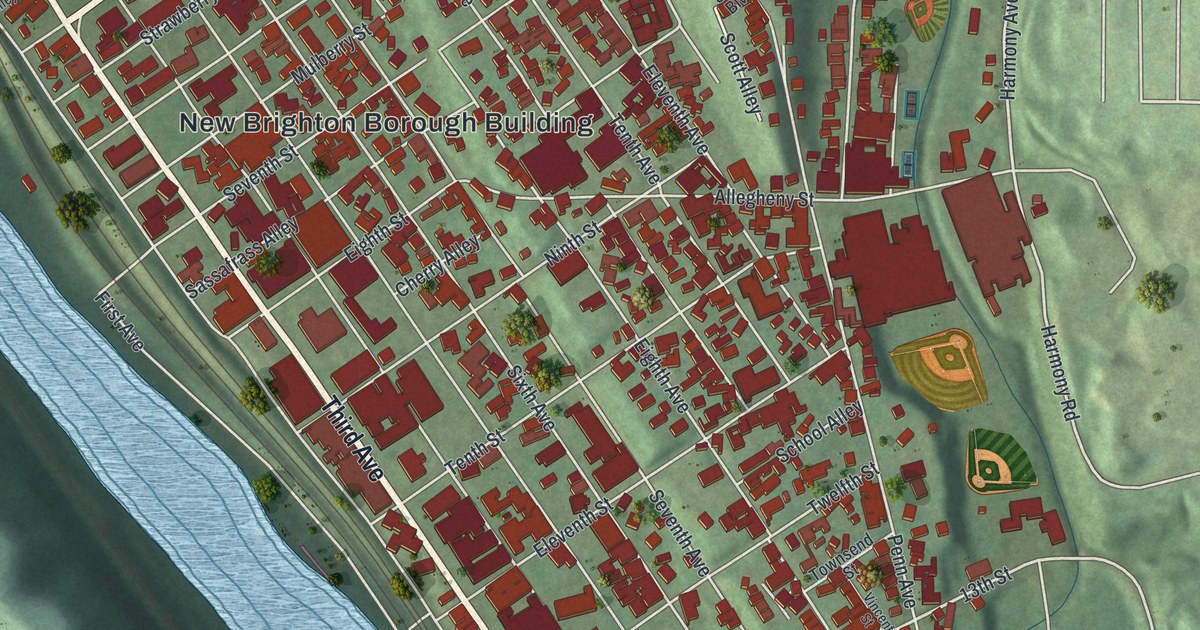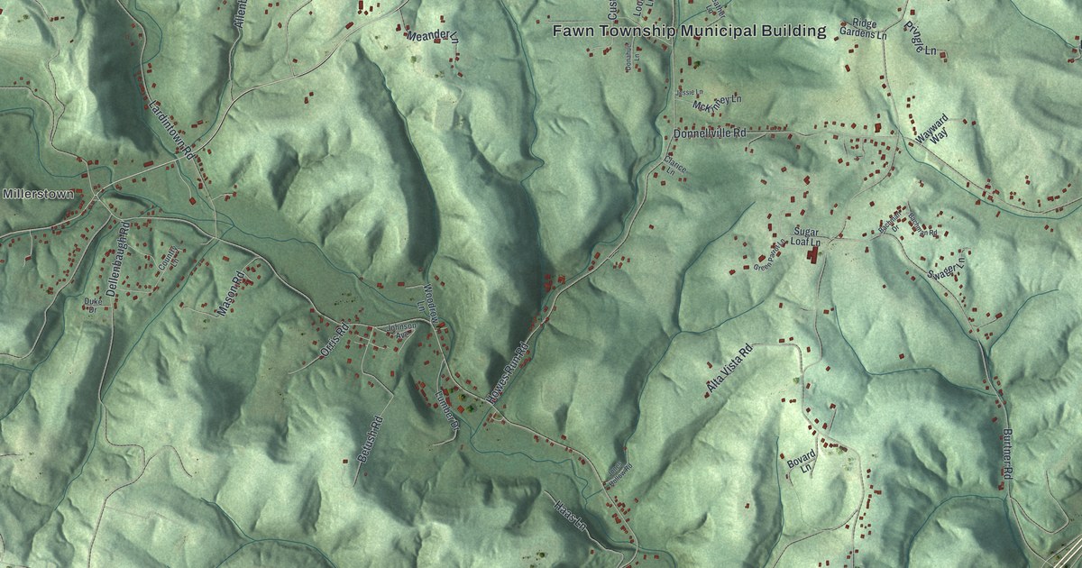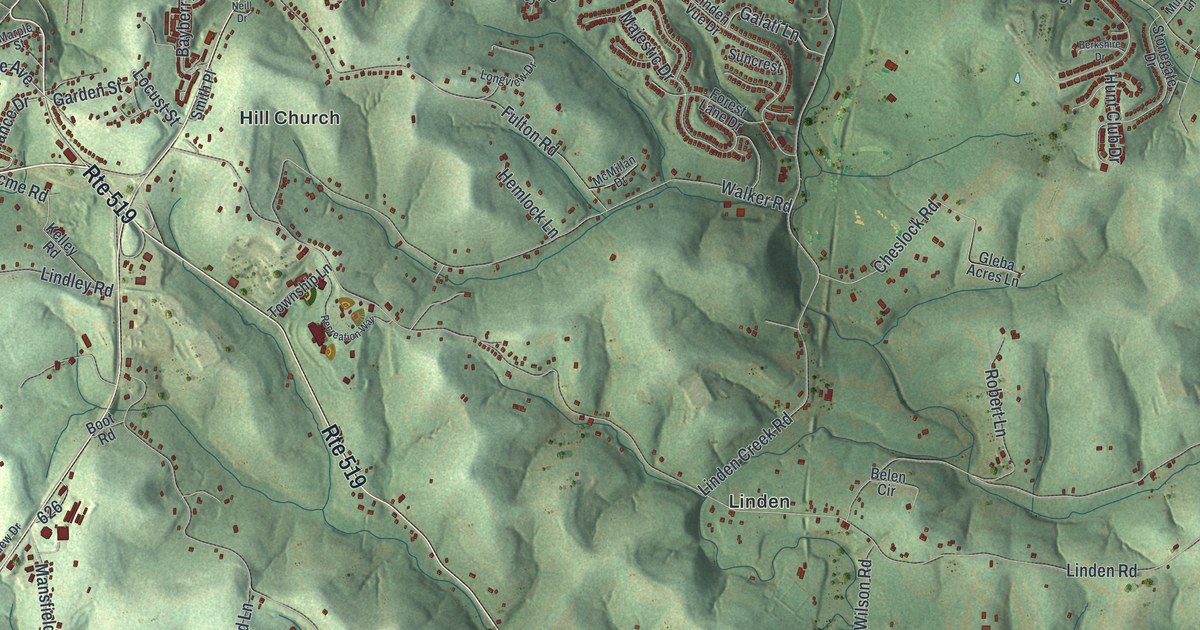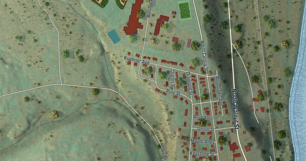
This beautifully detailed map of Slatington, Pennsylvania was created in 2026 using aerial imagery combined with modern topographical, census, street and landmark data. It’s a one-of-a-kind view of Slatington that combines accurate data with a vintage aesthetic. The map shows every building in its true location, many of the roads carry their names, and the shaded topographic relief shows the shape of the land.
Explore an aerial view of Slatington, Pennsylvania
On the map you’ll find Borough of Slatington Municipal Building, Fairview Cemetery, and Trout Creek, along with Main Street, North Walnut Street, North Centre Street, West Church Street, Lehigh Street, Railroad Street, Fourth Street, Hillcrest Lane, East South Street, and more. If you look closely you can even find your house accurately drawn in its correct location. Zoom in on the preview to look for yours.
Did you know this piece of Slatington, Pennsylvania history?
From the 1914 History of Lehigh County, Pennsylvania: "Indians tented under a large chestnut tree when the first settler, Nicholas Kern, arrived, and they became very friendly with him; that they became angered at some alleged wrong by early settlers down the river where they killed a number of persons and destroyed much property, but they did not molest Kern though they suspected his co-operation against them."
Take a closer look at the Slatington map
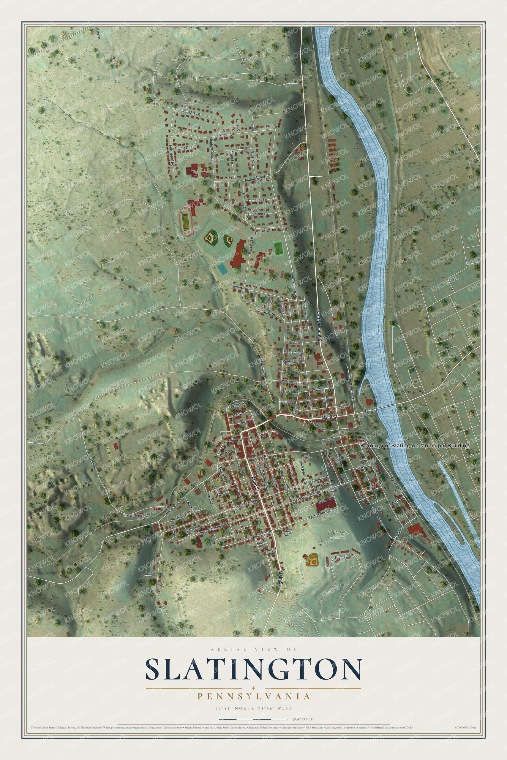
Street and place names on the Slatington, Pennsylvania map
These names are printed on the map of Slatington, Pennsylvania.
Places: Borough of Slatington Municipal Building, Fairview Cemetery and Trout Creek.
Streets and roads: Main Street, North Walnut Street, North Centre Street, West Church Street, Lehigh Street, Railroad Street, Fourth Street, Hillcrest Lane, East South Street, South Middle Alley, Seventh Street, Oakhurst Drive.
More street names, A to Z
Arbor Lane, Ash Alley, Beddall Street, Bulldog Lane, Candilak Lane, Center Avenue, Center Street, Centre Avenue, Charles Street, Cherry Street, Chestnut Alley, Chestnut Street, Deer Run Lane, Diamond Street, Dowell Street, East Church Street, East Franklin Street, East Washington Street, Factory Street, Fairview Avenue, Fernwood Road, Field Alley, Fifth Street, First Street, Gate Lane, High Point Lane, Hill Alley, Hill Street, Horlacher Alley, Iron Alley, Kerns Alley, Kern Street, Keystone Street, Kite Alley, Kuehner Avenue, Kuntz Street, Limestone Alley, Long Alley, Maple Alley, Maple Spring Drive, Maple Street, Middle Alley, Mill Alley, Morris Lane, North Kern Alley, North Railroad Street, North Street, Oak Alley, Park Avenue, Pine Street, Pine Tree Drive, Pin Oak Lane, Race Street, Ruch Alley, Second Street, Sell Alley, Seville Drive, Shadow Oaks Lane, Short Alley, Sixth Street, Skyline Drive, Slate Alley, Snyder Avenue, South Street, South Walnut Street, Spring Avenue, Sunrise Lane, Sunset Circle, Union Street, Vine Alley, Walnut Street, Welshtown Road, West Franklin Street, West South Street, West Washington Street, Williams Alley, Williams Street, Willow Avenue, Wood Alley, Woodlawn Avenue.
See the Slatington, Pennsylvania map on a wall
The Slatington map as an 18 x 24 inch print in a black frame.

This beautifully detailed map of Slatington makes an attractive addition to your office, library, or den, and it can even be used to teach children the geography and history of the area. It also makes a great gift for anyone who grew up in Slatington or moved away. When you’re done exploring, click here to get your copy of the Slatington map.