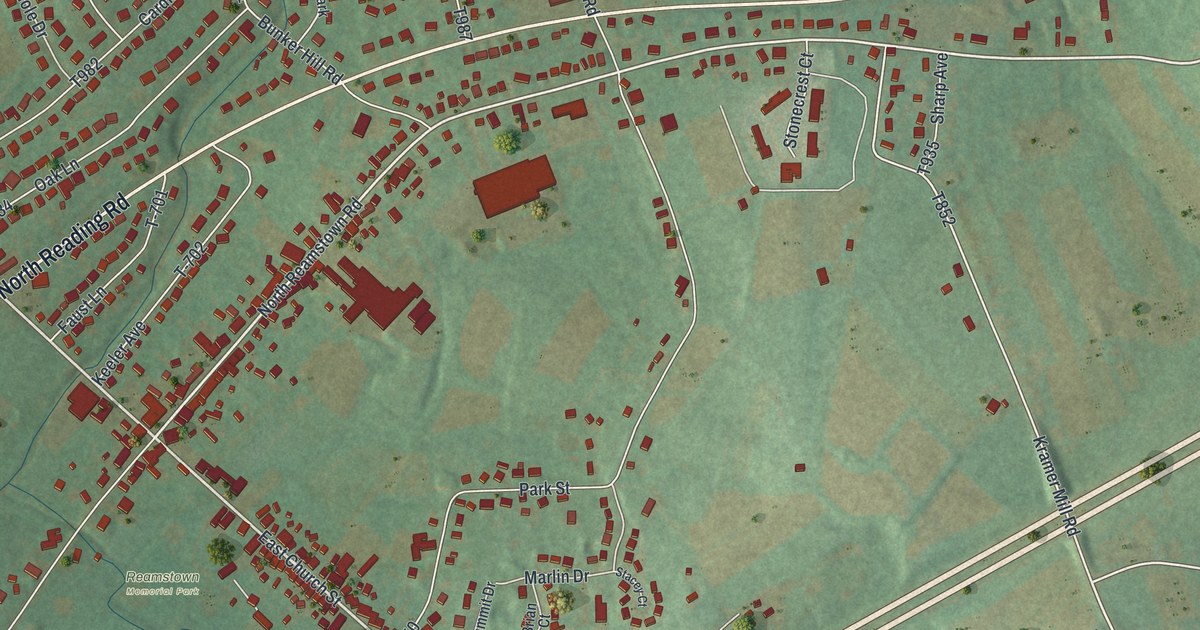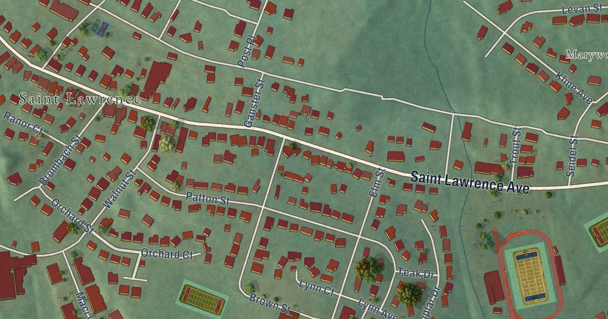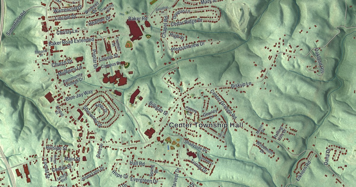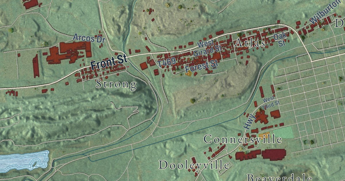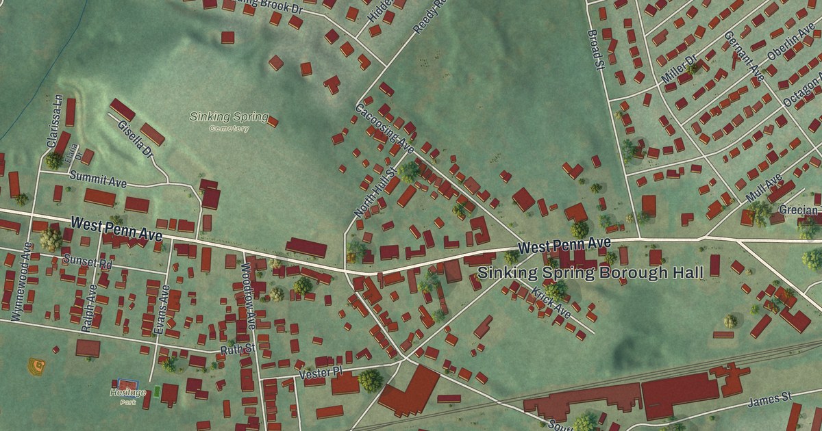
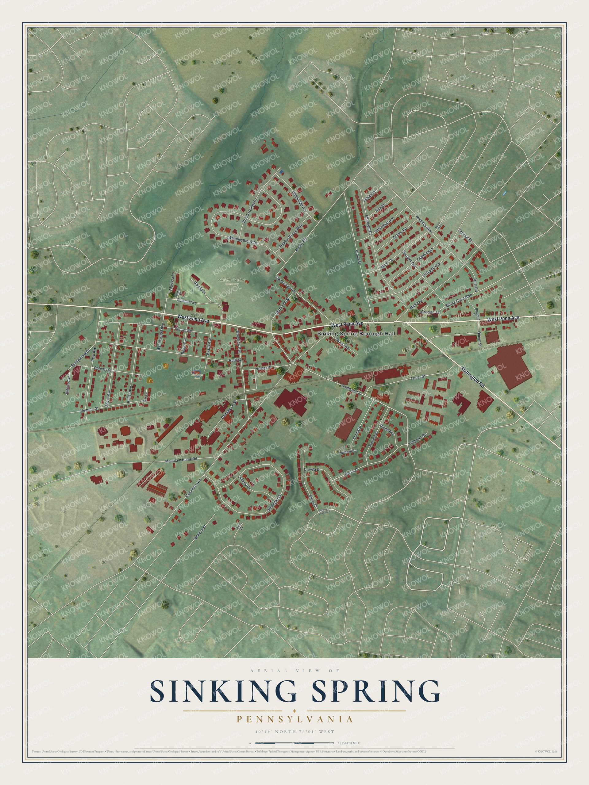
This beautifully detailed map of Sinking Spring, Pennsylvania was created in 2026 using aerial imagery combined with modern topographical, census, street and landmark data. It’s a one-of-a-kind view of Sinking Spring that combines accurate data with a vintage aesthetic. The map shows every building in its true location, many of the roads carry their names, and the shaded topographic relief shows the shape of the land.
Explore an aerial view of Sinking Spring, Pennsylvania
On the map you’ll find Sinking Spring Borough Hall, Sinking Spring Cemetery, and Heritage Park, along with West Penn Avenue, Shillington Road, Spring Crest Boulevard, South Hull Street, Columbia Avenue, Winding Brook Drive, Michigan Drive, Ruth Street, Elizabeth Drive, and more. If you look closely you can even find your house accurately drawn in its correct location. Zoom in on the preview to look for yours.
Did you know this piece of Sinking Spring, Pennsylvania history?
From the Borough of Sinking Spring: "The Borough of Sinking Spring was incorporated on March 10, 1913. The current population of the Borough is over 3,000."
Take a closer look at the Sinking Spring map
Street and place names on the Sinking Spring, Pennsylvania map
These names are printed on the map of Sinking Spring, Pennsylvania.
Places: Sinking Spring Borough Hall, Sinking Spring Cemetery and Heritage Park.
Streets and roads: West Penn Avenue, Shillington Road, Spring Crest Boulevard, South Hull Street, Columbia Avenue, Winding Brook Drive, Michigan Drive, Ruth Street, Elizabeth Drive, Mountain Home Road, Broad Street, Woodrow Avenue.
More street names, A to Z
Ashley Road, Beacon Street, Blanbrid Drive, Brookfield Avenue, Brook Hollow Drive, Cacoosing Avenue, Clarissa Lane, Clematis Place, Clematis Street, Commerce Street, Crest Road, Diane Avenue, Doherty Street, Elaria Drive, Elwyn Avenue, Erie Drive, Evans Avenue, Gernant Avenue, Gisella Drive, Grecian Terrace, Hidden Brook Way, Hillpoint Circle, Huron Drive, James Street, Joanna Avenue, Keller Avenue, Kirkwood Avenue, Krick Avenue, Maria Avenue, Merritt Parkway, Miller Drive, Mull Avenue, North Hull Street, Oberlin Avenue, Octagon Avenue, Oneida Drive, Ontario Drive, Park Avenue, Queen Street, Ralph Avenue, Ray Road, Reedy Road, Sioux Court, Spring Street, Summit Avenue, Sunnybrook Drive, Sunset Road, Sylvan Place, Thomas Place, Vester Place, Weidman Avenue, Windmill Road, Wynnewood Avenue, Wyoming Drive North.
See the Sinking Spring, Pennsylvania map on a wall
The Sinking Spring map as an 18 x 24 inch print in a black frame.

This beautifully detailed map of Sinking Spring makes an attractive addition to your office, library, or den, and it can even be used to teach children the geography and history of the area. It also makes a great gift for someone who left Sinking Spring and still calls it home. When you’re done exploring, click here to get your copy of the Sinking Spring map.