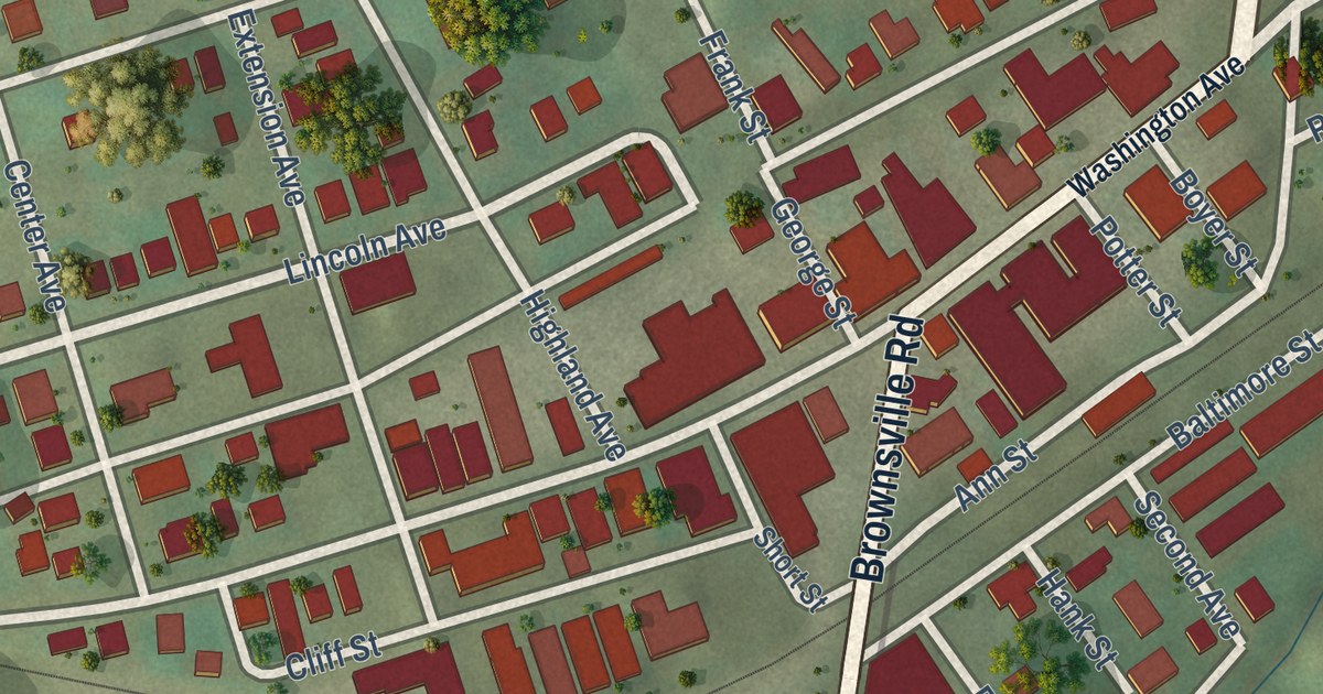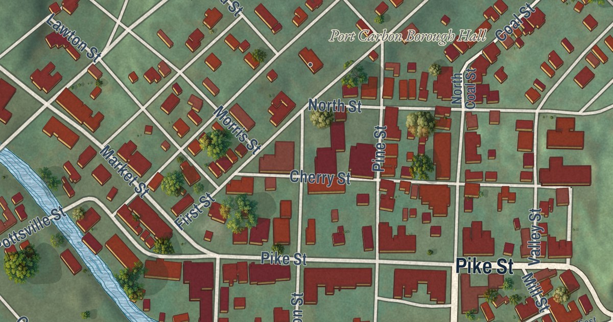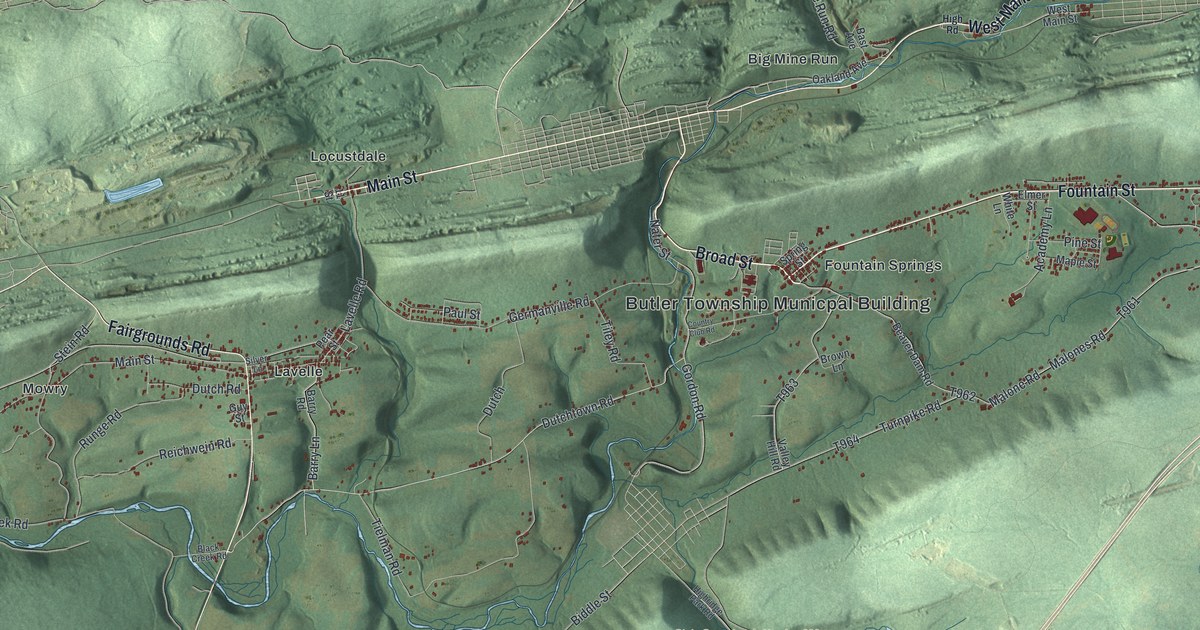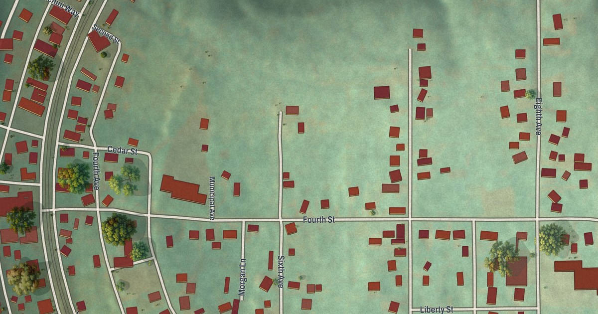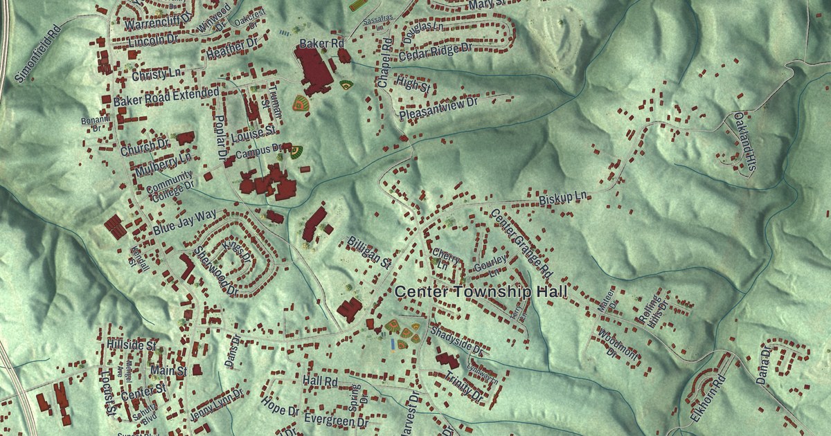
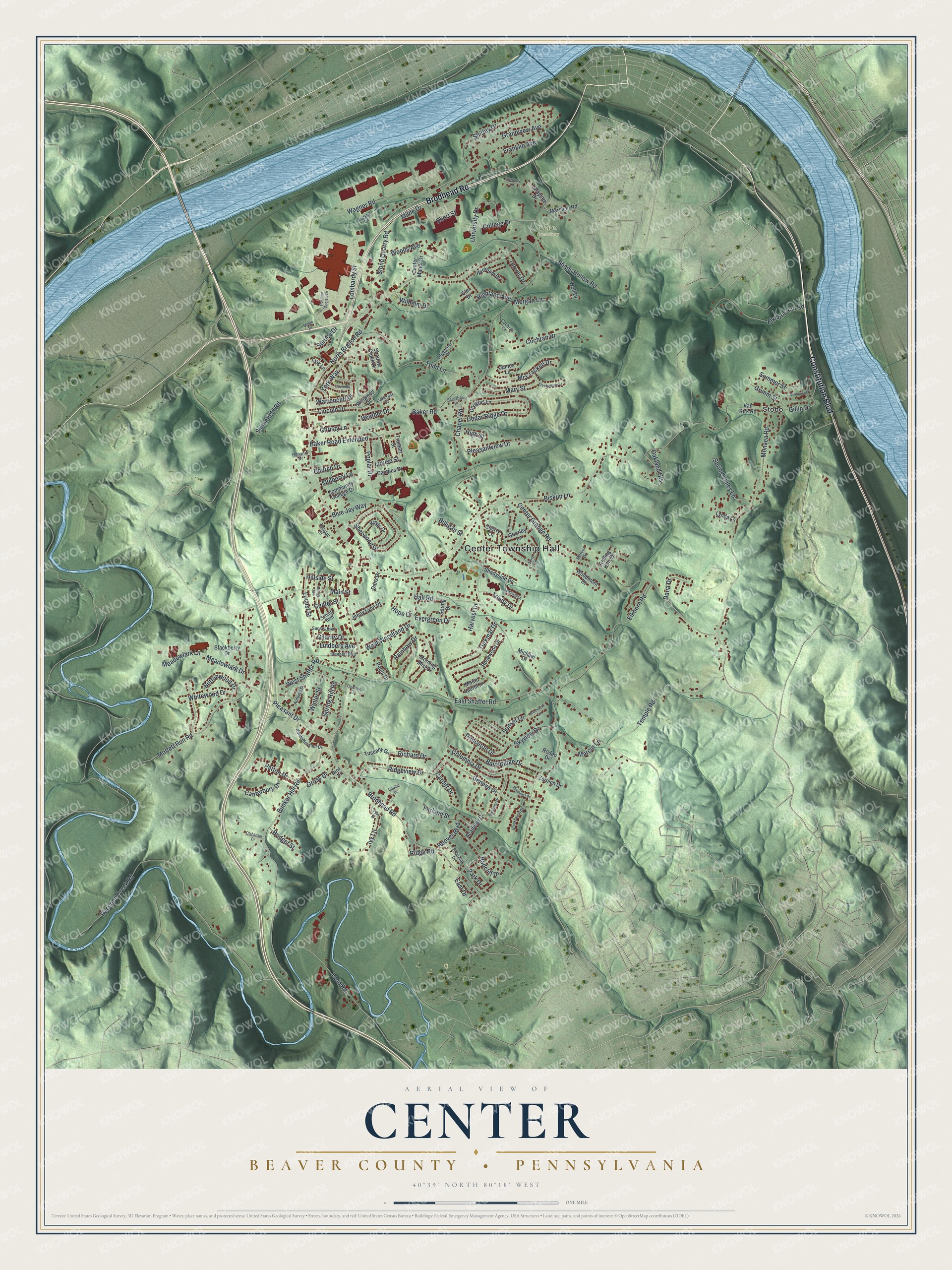
This beautifully detailed map of Center, Beaver County, Pennsylvania was created in 2026 using aerial imagery combined with modern topographical, census, street and landmark data. It’s a one-of-a-kind view of Center that combines accurate data with a vintage aesthetic. The map shows every building in its true location, many of the roads carry their names, and the shaded topographic relief shows the shape of the land.
Explore an aerial view of Center, Beaver County, Pennsylvania
On the map you’ll find Center Township Hall, Union Cemetery, and Stobo, along with Brodhead Road, Constitution Boulevard, Temple Road, Monaca Road, Moffett Run Road, North Branch Road, Chapel Road, Center Grange Road, Raccoon Creek Road, and more. If you look closely you can even find your house accurately drawn in its correct location. Zoom in on the preview to look for yours.
Did you know this piece of Center, Beaver County, Pennsylvania history?
From the Beaver County Bicentennial Atlas: "In 1914, a serious dispute among Moon Township residents split the Township, separating the heavily populated suburban section in the North from the much larger sparsely populated region in the South and West. On November 24, 1914, after a second election, the court decreed that the larger Southern section be known as Center Township."
Take a closer look at the Center, Beaver County map
Street and place names on the Center, Beaver County, Pennsylvania map
These names are printed on the map of Center, Beaver County, Pennsylvania.
Places: Center Township Hall, Union Cemetery and Stobo.
Streets and roads: Brodhead Road, Constitution Boulevard, Temple Road, Monaca Road, Moffett Run Road, North Branch Road, Chapel Road, Center Grange Road, Raccoon Creek Road, Biskup Lane, Bunker Hill Road, Wagner Road.
More street names, A to Z
Academy Drive, Autumn Street, Bainbridge Drive, Baker Road, Baker Road Extended, Bennett Boulevard, Billigan Street, Blackberry Drive, Blue Jay Way, Bonanni Drive, Brennburn Lane, Briarcliff Drive, Bridget Street, Brookhaven Drive, Buttonwood Drive, Campus Drive, Canterbury Drive, Capital Drive, Cardiff Drive, Cedar Ridge Drive, Center Manor Drive, Center Street, Charity Drive, Cherry Lane, Christy Lane, Church Drive, Clover Drive, Cochran Drive, Cochran Lane, College Drive, Columbia Drive, Community College Drive, Coventry Drive, Dana Drive, Dans Drive, Docktor Lane, Douglas Lane, East Drive, East Shaffer Road, Edgewater Drive, Elkhorn Road, Elkhorn Run Road, Elm Drive, Evergreen Drive, Farland Street, Franklin Avenue, Geneva Drive, Gillin Drive, Gourley Lane, Grandview Avenue, Grimm Street, Gross Drive, Hall Road, Harvest Drive, Heather Drive, Highland Avenue, High Street, Hillside Street, Hoover Boulevard, Hope Drive, Humane Society Drive, Ivy Lane, James Lane, Jenny Lynn Drive, Kendall Street, Kings Drive, Lafayette Drive, Lawrence Lane, Lincoln Drive, Lindberg Avenue, Locust Street, Lombardy Street, Louise Street, Lynda Lane, Lynnway Lane, Main Street, Maple Drive, Marcur Lane, Marshall Road, Mary Street, Mateer Drive, McCracken Drive, Meadowlark Drive, Meadowlark Lane, Mengel Avenue, Michael Drive, Milne Drive, Mine Drive, Morgan Lane, Morning Mist Drive, Mount Laurel Lane, Mulberry Lane, North Pleasant Drive, Oakcrest Drive, Oakland Heights, Oak Lane, Olshanski Drive, Park Drive, Patton Drive, Paula Drive, Pinehurst Drive, Pine Street, Pleasant Drive, Pleasantview Drive, Plodinec Drive, Poplar Drive, Princeton Drive, Radcliff Drive, Rainbow Drive, Richard Drive, Ridge Road, Ridgeview Drive, Riverview Drive, Rodeo Drive, Rolling Hills Drive, Rosewood Drive, Sassafras Lane, Schultz Boulevard, Shadow Creek Drive, Shads Hollow Road, Shadyside Drive, Sherwood Drive, Shirley Drive, Short Street, Simonfield Road, Skyview Drive, Spring Drive, Spring Hill Road, Spring Valley Lane, Spruce Drive, Stephenson Street, Stone Quarry Road, Summer Street, Sunset Boulevard, Sunset Lane, Swansea Drive, Terry Lane, Todd Lane, Todd Road, Trinity Drive, Truman Street, Turkmar Drive, Tuscany Drive, University Drive, Van Kirk Road, Warrencliff Drive, West Shaffer Road, West Woodland Drive, Whitewood Drive, Wickham Drive, Wilhelm Drive, Winter Street, Winwood Drive, Wolf Drive, Woodmont Drive, Woods Avenue, York Way, Zernich Drive.
See the Center, Beaver County, Pennsylvania map on a wall
The Center, Beaver County map as an 18 x 24 inch print in a black frame.

This beautifully detailed map of Center, Beaver County makes an attractive addition to your office, library, or den, and it can even be used to teach children the geography and history of the area. It also makes a great gift for anyone with Center roots. When you’re done exploring, click here to get your copy of the Center, Beaver County map.