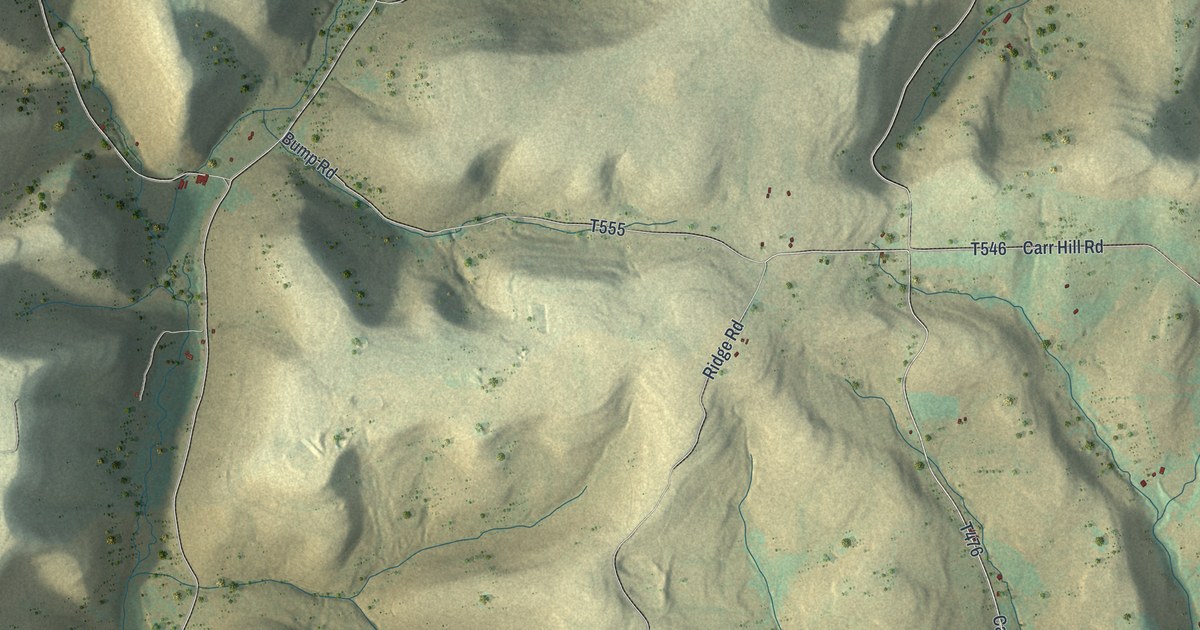
If you grew up out on Parker Hill Road or Phoenix Run Road, or you've got family near Sunderlinville or Loucks Mills, this map covers the hills between them. It's a modern aerial view of Hector Township in Potter County, Pennsylvania, made from modern data and given a vintage look. Steep ridges are shaded in sand and soft green, the valleys drop into shadow, and about 700 buildings are marked along the back roads. Two villages are named: Loucks Mills on the left side of the sheet and Sunderlinville in the lower right. Explore the print options for Hector.
From Loucks Mills to Sunderlinville on Parker Hill Road
Start at Loucks Mills, printed in the deep valley on the left side of the map. Loucks Mills Road runs down that valley, and near the bottom left corner Millheim Road branches off it. Forks Road heads north out of Loucks Mills toward the top center of the sheet. Now go back to Loucks Mills and take Parker Hill Road east over the hill. It passes Hertenberger Road and then Ridge Road before it comes down to Sunderlinville in the lower right, where it meets Phoenix Run Road. Phoenix Run Road runs nearly the full height of the right side, past Carr Hill Road on the way north. Farther east, Fry Road and Little Phoenix Road run down toward the bottom right corner. Many of the roads are labeled, and the small red shapes are buildings, so zoom in on the preview and look for yours.
The 1890 county history has a strange little entry about Hector. In 1884 a signal station was built in a tree, on the farm John Downey owned by 1890. C.P. Kilbourne, who reported it, didn't know what it was for. The history says it was later learned to have the same purpose as the lookout near Harrison Valley, a spot where an observer could look into Syracuse, New York. It never says what that purpose was. It doesn't say where the Downey farm stood, either. The map does print a Downey Road in the top left corner, running north from Lehman Hollow Road, but no source here connects the two.
The same history lists Hector's post offices in 1890: Sunderville, near the southeast corner of the township; Louck's Mills, on the Genesee Forks; and Hector, east of the center. Louck's Mills is printed on this map as Loucks Mills. Sunderville looks like the village printed here as Sunderlinville, and it sits in the lower right, just where the history put it. The stream at Loucks Mills isn't labeled, but you can follow its valley along Loucks Mills Road. In 1889 Sunderville had four stores: groceries run by Perry Fillmore and James C. Mahon, and general stores run by J.L. Havens & Co. and J.V. Miller. The township officers elected in February 1890 included an auditor named D.A. Sunderlin.
For someone who knows Phoenix Run Road
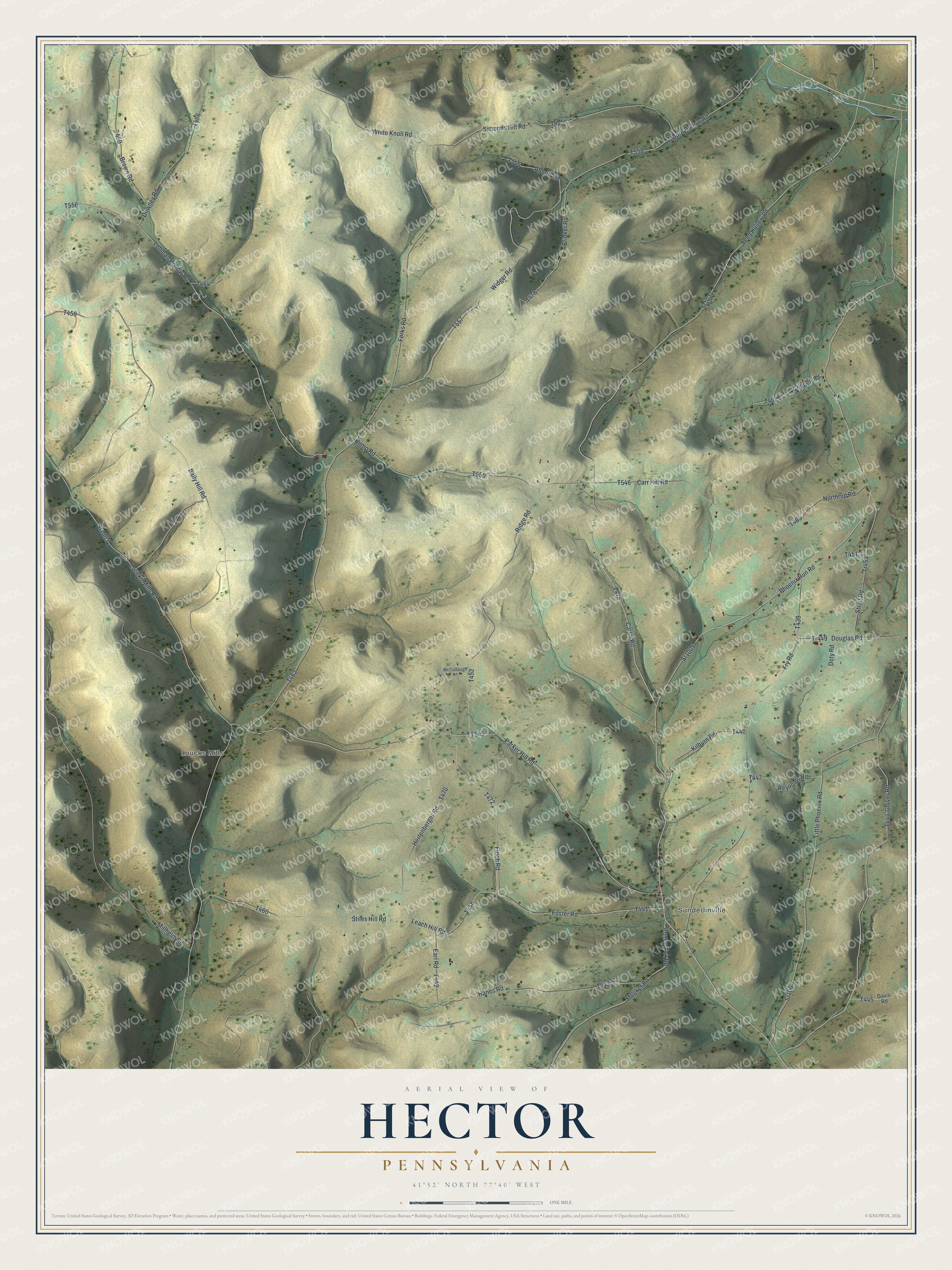
Created by KNOWOL in 2026, this Hector map suits a den, an office or a camp wall, where the ridges read from across the room and the roads come clear up close. The shaded hills come from USGS elevation data, and the streams are drawn running down the hollows. The title panel reads "Aerial View of Hector, Pennsylvania," with the coordinates 41°52' North, 77°40' West and a one-mile scale bar.
It's a thoughtful gift for someone who grew up in Hector Township, moved away from Potter County, or still has family on these back roads. Open the watermarked preview, find Parker Hill Road and follow it down to Sunderlinville. Shop the Hector, Pennsylvania map.