If you grew up around Bingham Center, still have family on a farm near North Bingham, or drive Northern Potter Road every day, this map has your roads on it. It's a modern aerial view of Bingham Township in Potter County, Pennsylvania, made from modern data with a vintage look. The hills are shaded in soft green and wheat, creeks wander down the hollows, and more than 1,000 buildings are marked in red. Three villages are named on the sheet, and the roads between them are easy to follow. Explore the print options for Bingham.
North Bingham, Bingham Center and West Bingham
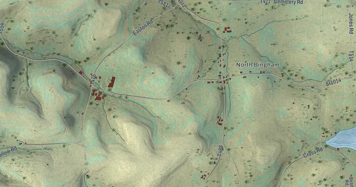
Start at Bingham Center, in the middle of the map. Cross Road comes in from the northeast, past a small pond that isn't labeled, and Hillcrest Road comes down from the north. School House Road runs between them up toward North Bingham, near the top right, where Jones Road crosses north to south and Sr1014 heads east toward Harrington Road. Back at Bingham Center, take Bingham Center Road west along the valley to West Bingham. From there, Hickox Ulysses Road follows the valley southeast, past Musto Hollow Road and Collins Hill Road, to Sr1012. Head east on Sr1012 to Jackson Road and you'll drop down onto Northern Potter Road near the bottom right, where a cluster of big red buildings stands just off the road. Up in the top left, Genesee Mills Road and Grover Hollow Road wind through the hills. Plenty of the back roads carry their names, and every red mark is a building, so zoom in on the preview and look for your farm.
Here's a story to tell when someone asks about the map. Before Bingham had a schoolhouse, Delila Kibbe taught a small class in a barn that belonged to Truman Stevens. That was in 1826, it's said, and a county history published in 1890 kept two of her lines. When her mother asked what a fortification was, Delila told her it was "two twentyfications." After she married J.L. Rooks, the great frost came through, and she said it "killed everything in the garden except the cabbage and turnip." Benjamin S. Grover took over the teaching after her. David Grover and his son C.H. had come in 1834, and the Grover name is on the map today on Grover Hollow Road.
The same history names three post offices in the township: North Bingham, West Bingham and Bingham Center, spelled Bingham Centre back then. In 1890 each one had a store, run by J.L. Raymond at North Bingham, O.A. Buckley at West Bingham and B.H. Howe at Bingham Center. North Bingham was known as Jones' Corners when the post office moved there, with James Jones as postmaster. Jones Road runs just east of the North Bingham label.
For a North Bingham or West Bingham family
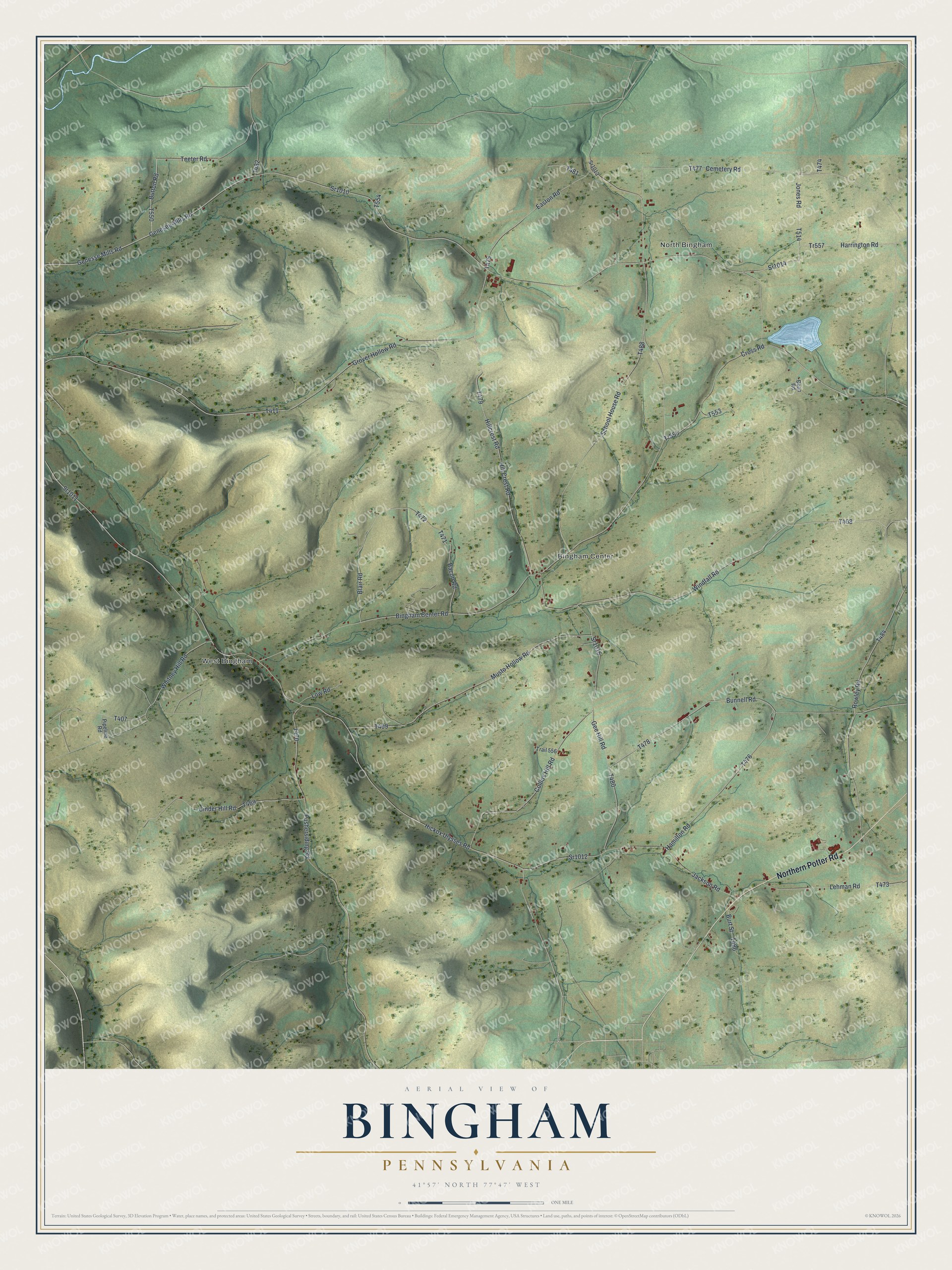
Created by KNOWOL in 2026, this Bingham map looks good in a farmhouse kitchen, a den or an office. Its hill shading comes from USGS elevation data and its roads from Census Bureau records. The title panel reads "Aerial View of Bingham, Pennsylvania," with the coordinates 41°57' North, 77°47' West and a one-mile scale bar.
It's a thoughtful gift for anyone who grew up in Bingham Township, has moved away from Potter County, or still has family on one of these back roads. Open the preview, zoom in and find the farm you know. Shop the Bingham, Pennsylvania map.