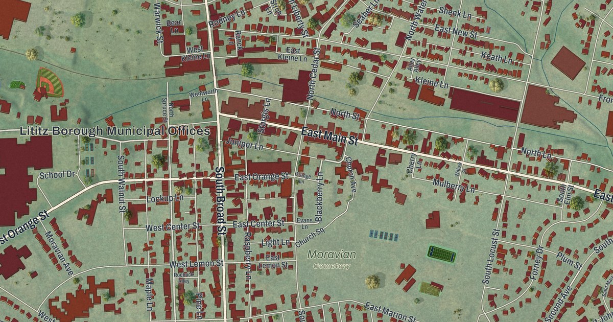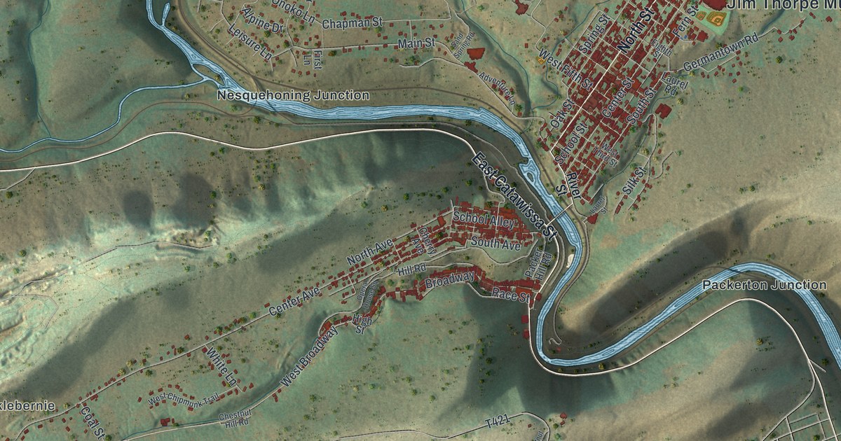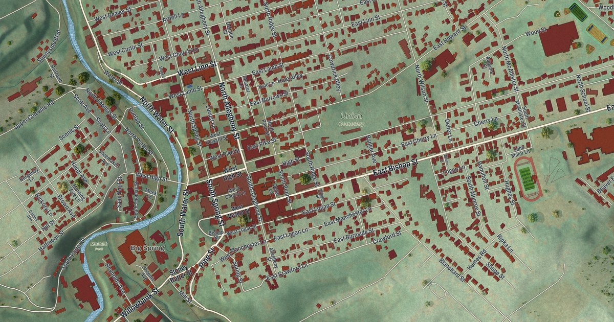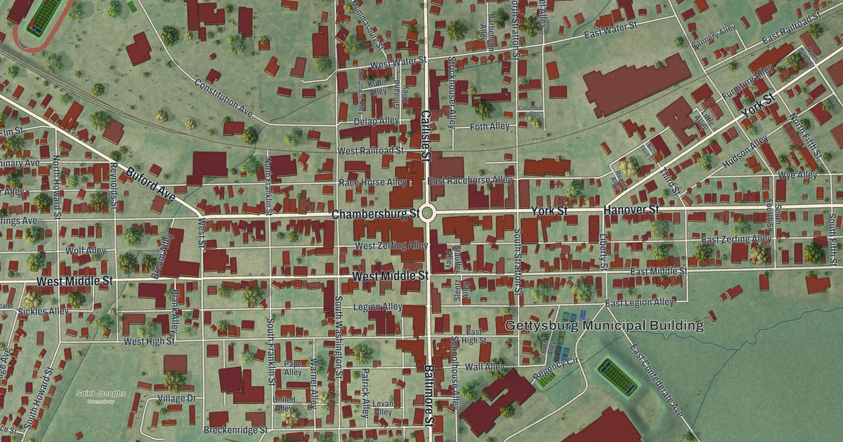
If you grew up in Gettysburg, went to school here, or have family who still knows these streets, this map gives you plenty to find. Gettysburg Borough is in Adams County, Pennsylvania. The little circle at the center leads into a close grid of streets and alleys, with individual buildings marked in red. The view runs from the northern playing fields to the streets beyond the cemeteries. Explore the print options for Gettysburg.
Carlisle Street, Race Horse Alley and Evergreen Cemetery
Start at the circle where Carlisle Street, Baltimore Street, Chambersburg Street and York Street meet. Hanover Street carries the eastbound line farther out. West Middle Street and East Middle Street cross below it, while Race Horse Alley and East Racehorse Alley sit just above it on opposite sides of Carlisle. Follow Baltimore Street south past Steinwehr Avenue and you reach the printed names Soldiers' National Cemetery and Evergreen Cemetery. Many roads are named, and each red shape marks a building. Zoom in on the preview and look for yours.
In 1863, Elizabeth Thorn was caring for Evergreen Cemetery while her husband served in the Union Army. She was six months pregnant and looking after three sons and her elderly parents. The family fled during the Battle of Gettysburg. When they came back, their things were scattered or gone, and bodies still needed burial. The Heart of the Civil War Heritage Area says the men assigned to help with the burials left. Thorn kept working at Evergreen.
The map labels Evergreen Cemetery beside Soldiers' National Cemetery, but it doesn't mark Thorn's gatehouse or the memorial to her. Follow the printed Baltimore Street down from the town center and you'll see how close the cemetery names are to ordinary blocks of homes. West of downtown, Gettysburg Recreational Park and McMillan Farm are printed beside playing fields.
For someone who knows Baltimore Street
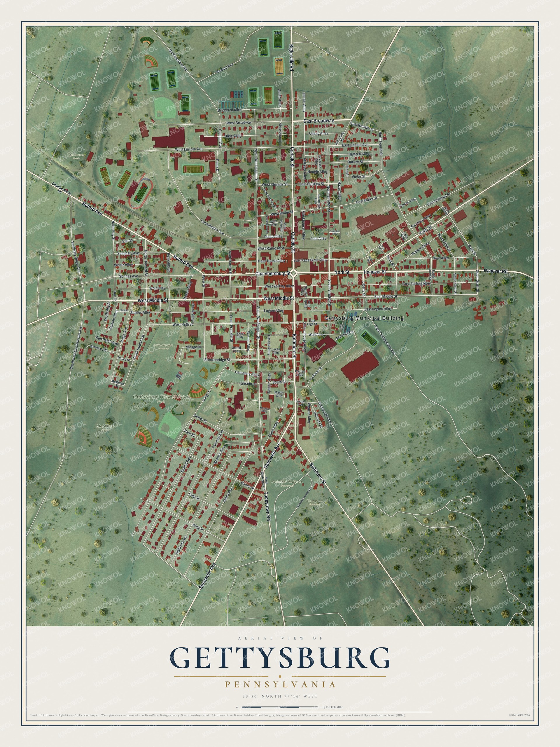
Created by KNOWOL in 2026 from geographic records of roads, buildings and terrain, this Gettysburg map belongs in an office, den or family room where someone can stop and find a familiar block. Zoom in and you can pick out the buildings along Baltimore Street, then follow the road toward the cemetery labels. The title panel says "Aerial View of Gettysburg, Pennsylvania" and carries a quarter-mile scale bar.
It makes a thoughtful gift for someone who grew up here, studied here or has family in town. Open the watermarked preview and trace a road you know, then choose your print on the product page. The roads and buildings are accurately drawn. Shop the Gettysburg, Pennsylvania map.