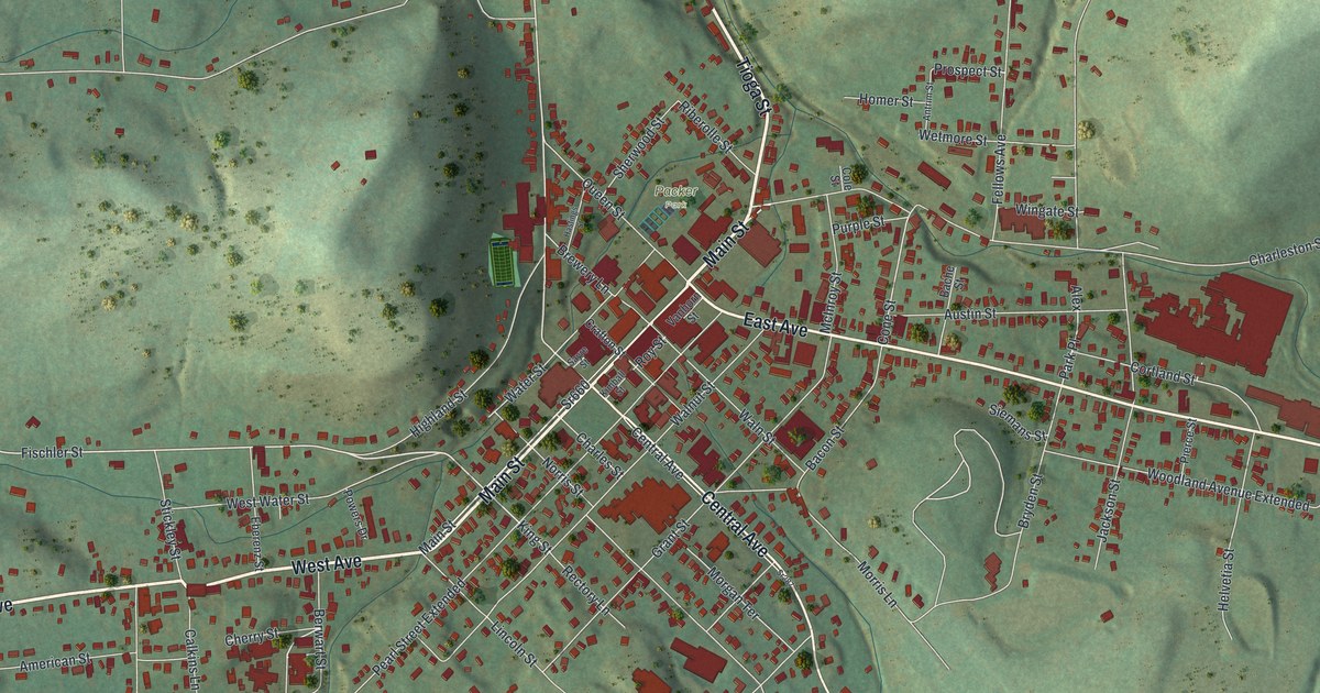
If you know Wellsboro by its gas lamps, have family on one of its side streets, or remember coming into town along Main Street, this print gives you plenty to find. It's a map of Wellsboro Borough in Tioga County and the streets around it. The red shapes mark buildings, while the green shading shows how close the hills come to town. Take a look at the blocks you know, then follow your road toward the edge of the map. Explore the print options for Wellsboro.
Main Street, Morris Lane and Wellsboro's first family
Start with Main Street, then follow West Avenue one way and East Avenue the other. Tioga Street runs north from the center, while Central Avenue heads south. Look closer for Packer Park, Brewery Lane, Walnut Street, Waln Street, Bacon Street and Morris Lane. Many of the roads are named, and the red marks show buildings. Zoom in on the preview and look for yours.
Here's a story to tell when someone asks about the map: Wellsboro was chosen as Tioga County's seat on March 21, 1806, when Benjamin Wistar Morris and his family were the only family living there. The Wellsboro Area Chamber of Commerce places their log house at what is now Morris Lane and Bacon Street. But the borough's own history puts the first cabin on a knoll at the end of Morris Lane. The accounts differ about the spot. Both roads are named on the map, but it doesn't mark the cabin or settle where it stood.
The name has its own wrinkle. The Chamber says Wellsboro has traditionally been named for Benjamin's wife, Mary Wells Morris. It also quotes the Tioga County Historical Society's director saying historians aren't sure whether it honored Mary, her brother William Wells, or the Wells family. Wellsboro became an incorporated borough in 1830, after it was already the county seat.
In 1885, the borough used Brewery Lane as part of the line dividing its two wards. According to the borough's own history, the line also followed Fischler Street, Nichols Street and Waln Street. You can find those street names on the print. The old ward boundary itself isn't drawn.
Wellsboro's Main Street and hills at home
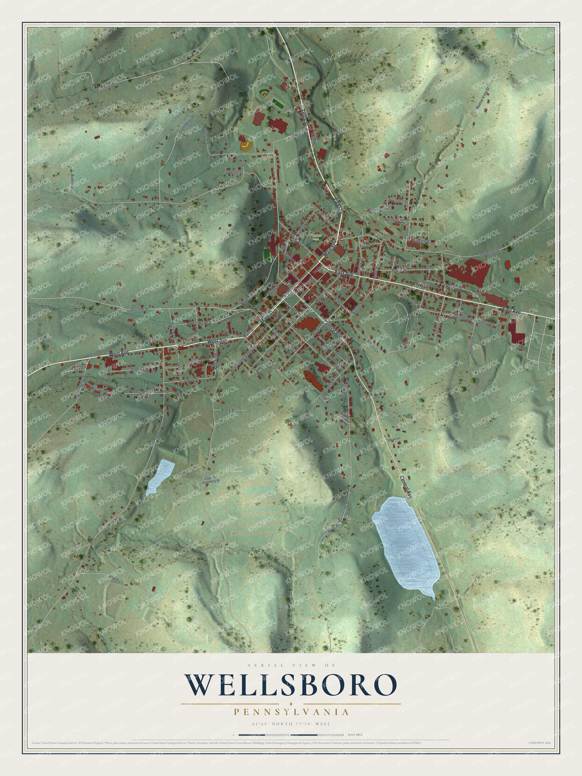
Created by KNOWOL in 2026 from geographic records of terrain, roads and buildings, this Wellsboro map belongs in a family room, an office or a den where people will stop to look for a familiar street. On the print, red building marks crowd Main Street and East Avenue, while shaded hills rise beyond the downtown blocks.
It's a gift for someone who grew up in Wellsboro, moved away, or still has family here. Open the larger preview and find the streets you know. They're accurately drawn. Shop the Wellsboro, Pennsylvania map.