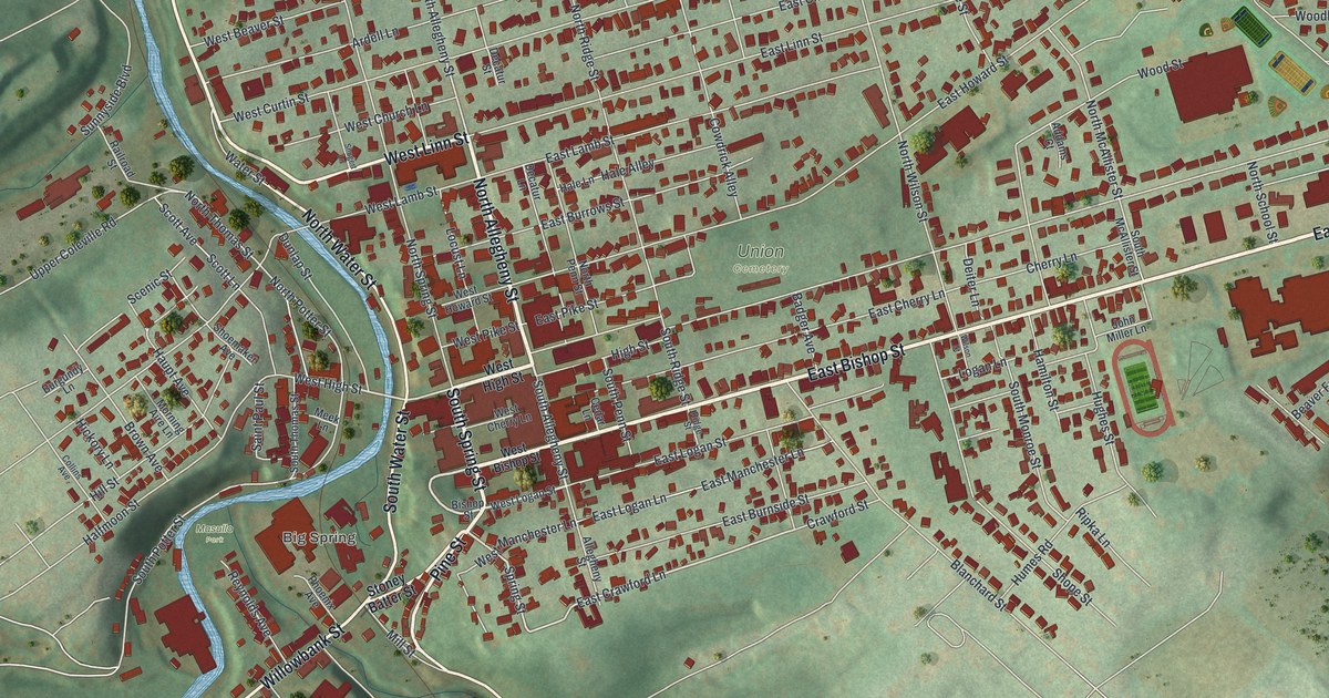
If you grew up in Bellefonte, have family near Water Street, or still come back to walk downtown, there's plenty here to recognize. It's a detailed map of Bellefonte Borough in Centre County, with nearby streets in the frame too. The creek bends around the western blocks, and red building marks fill the streets climbing east. Take a closer look for your own road. Explore the print options for Bellefonte.
From Big Spring and Water Street to the East End
Look near the lower bend for the Big Spring label, South Water Street and Willowbank Street. From West High Street's creek crossing, North Allegheny Street and West Linn Street lead into the closely packed downtown blocks. Union Cemetery sits among them. Keep going along East Bishop Street and you'll reach Zion Road and the East End label, with Park View Heights above. Many streets are named, and the small red shapes mark buildings. Zoom in on the preview and look for yours.
The Big Spring label gives you an area to look for, but it doesn't mark the spring pool itself. According to the Centre County Historical Society, the pool is in Talleyrand Park, where it can be seen from South Water Street when its protective cover is off. The pool has generally been covered since the 1990s. People got to see it again during a cover replacement in 2016.
Here's a story to tell someone looking at the print. In 1807, local businessman James Smith built a system of wooden pipes to carry Big Spring water to Bellefonte homes. The Centre County Historical Society puts the spring's discharge at 15 million gallons a day. Some of that water is used for drinking; the rest flows into Spring Creek. Look back at the blue waterway beside South Water Street and the streets that grew around it.
Bellefonte's Water Street and East End on your wall
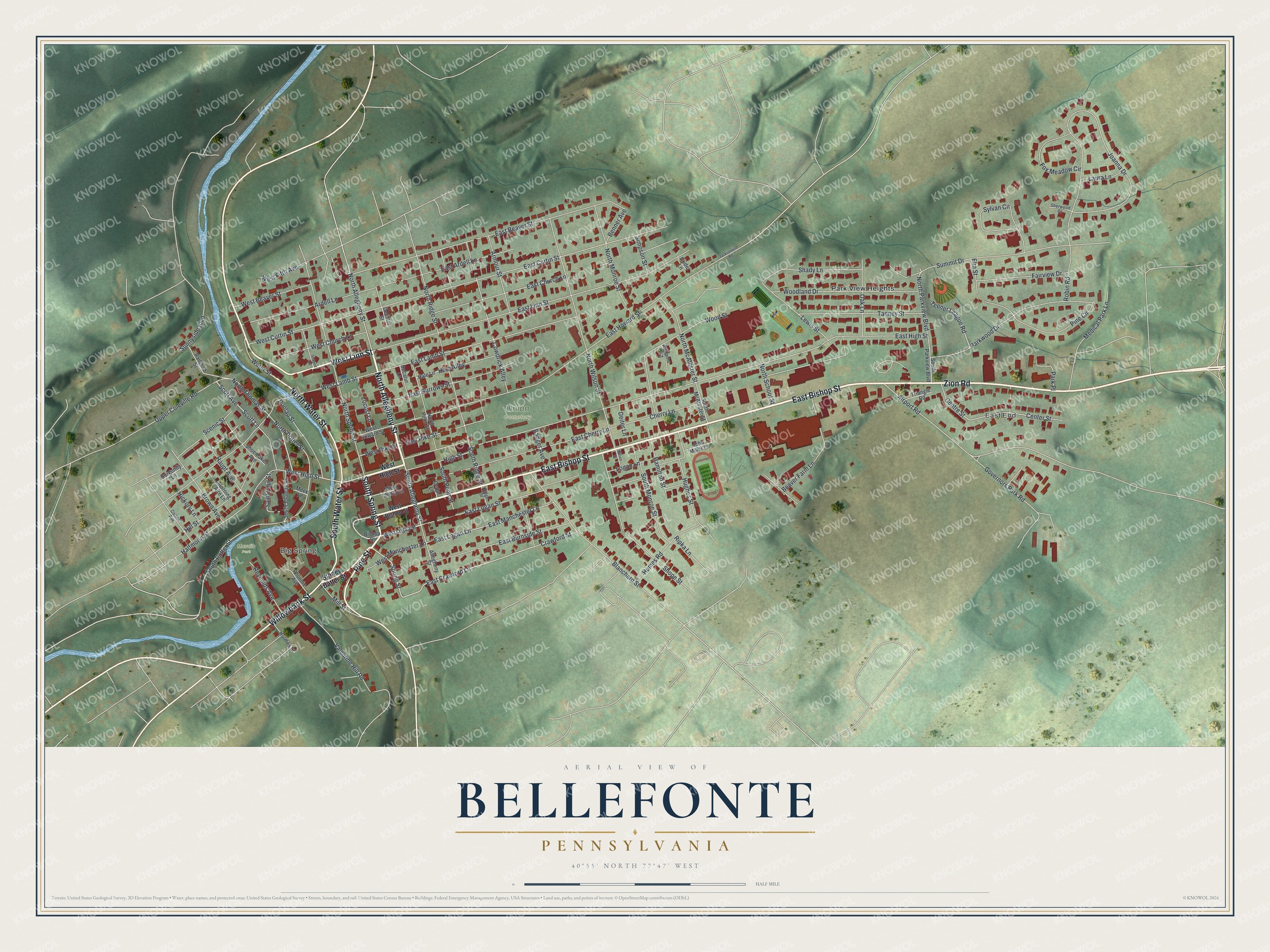
Created by KNOWOL in 2026, this map uses USGS elevation data for its shaded hills and geographic records for water, roads and buildings. The half-mile scale sits below the Bellefonte title panel. It belongs in an office or den where someone can step close and find a familiar street.
It also makes a gift for someone who grew up in Bellefonte, moved away, or still has family here. Open the preview, zoom in and find the streets you know. They're accurately drawn. Shop the Bellefonte, Pennsylvania map.