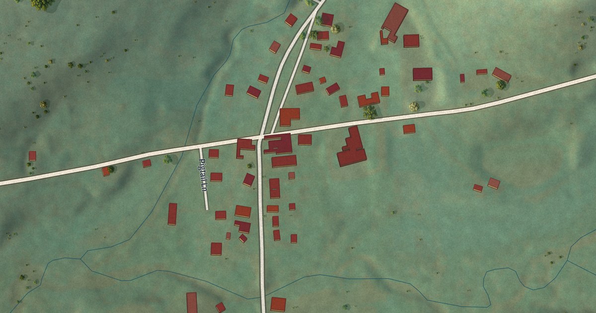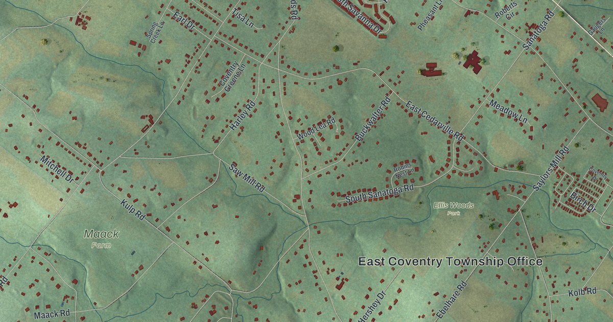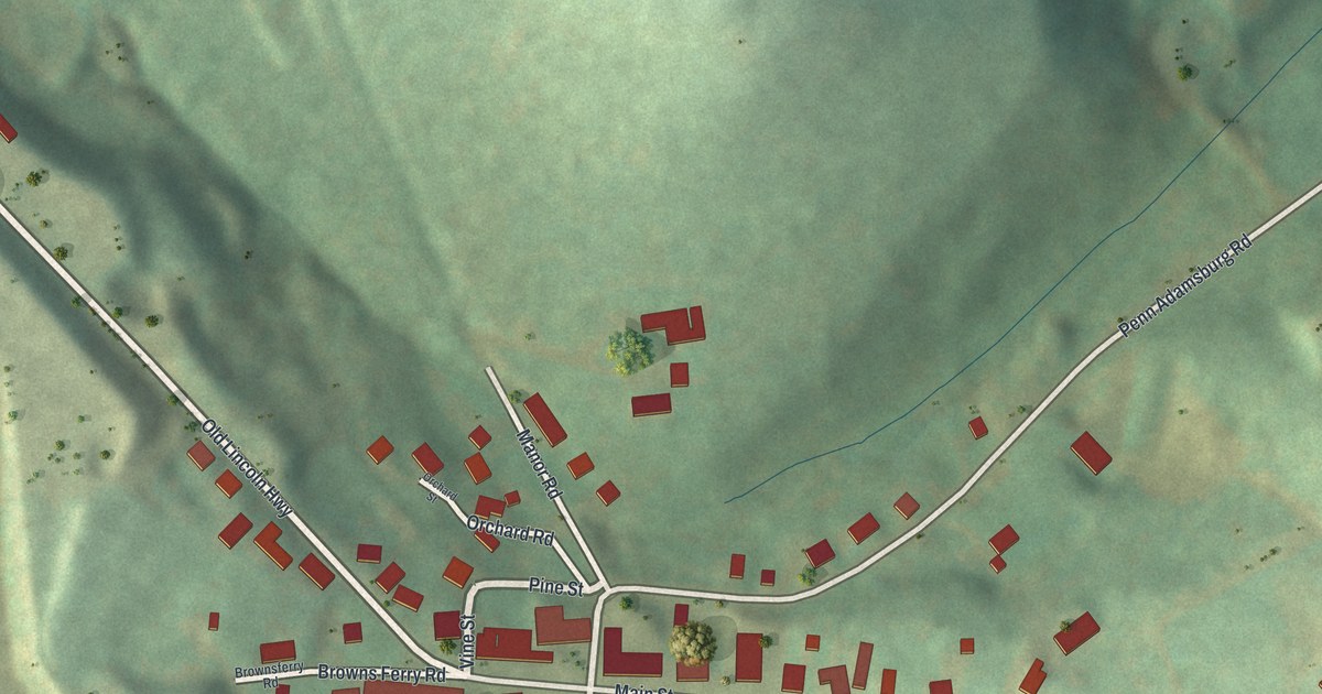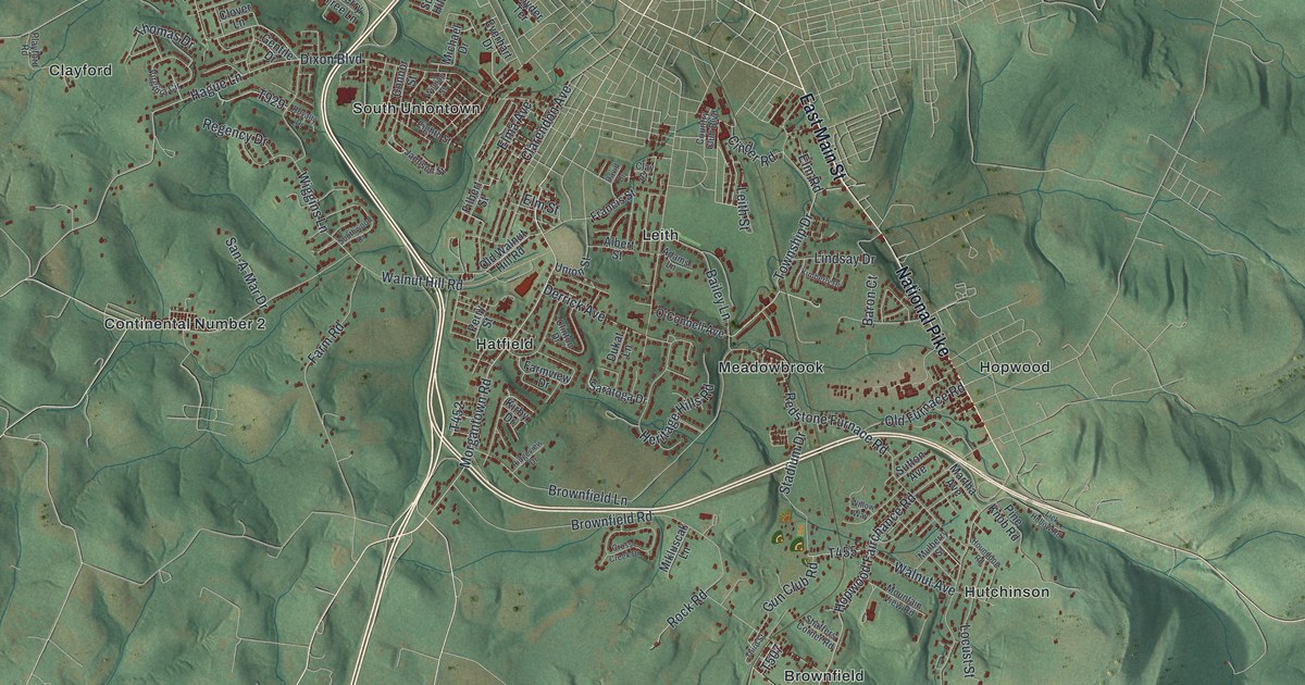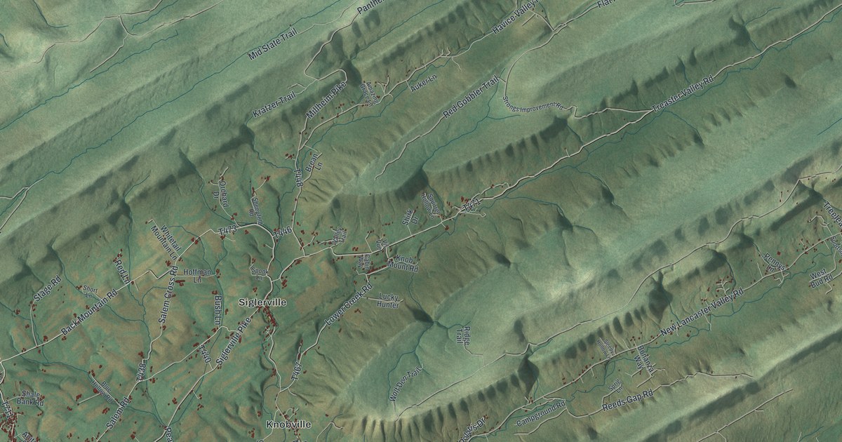
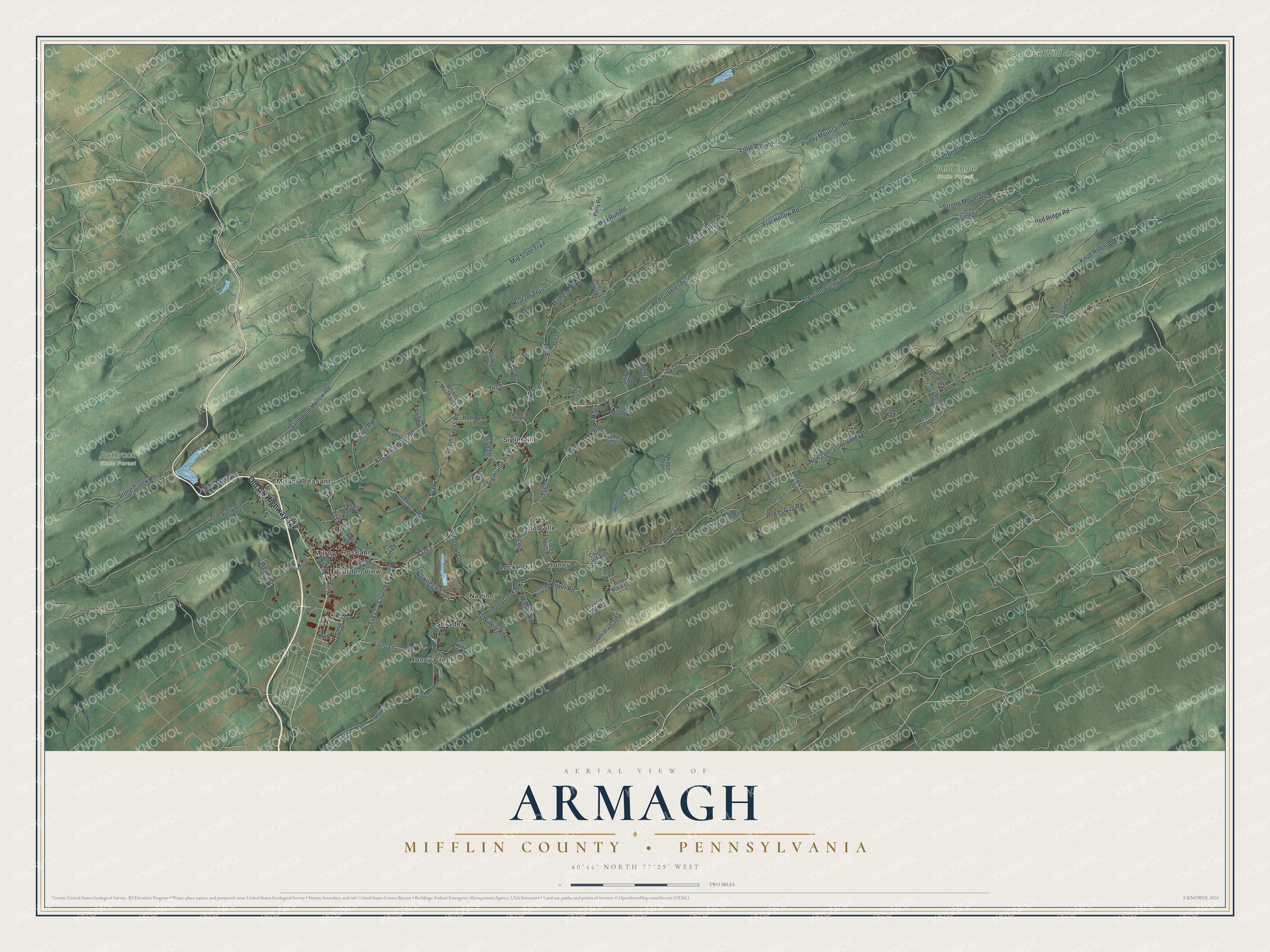
This beautifully detailed map of Armagh, Mifflin County, Pennsylvania was created in 2026 using aerial imagery combined with modern topographical, census, street and landmark data. It's a modern aerial view of Armagh, Mifflin County in Mifflin County, Pennsylvania, that combines modern data with a vintage aesthetic. The roads feature printed names, and if you look closely you can find your exact house accurately shown in its correct location.
Explore an aerial view of Armagh, Mifflin County, Pennsylvania
On this map you'll find Bald Eagle State Forest, Penns Creek Wild Area, Rothrock State Forest, Garden View, Honey, Honey Creek, Knobville, Locke Mills, Milroy, Mount Pleasant, Naginey, Roseann, and more. Each red shape is a building, so zoom in on the preview and look for yours.
Here is a piece of Armagh, Mifflin County history, in the words of the record. The Mifflin PAGenWeb puts it this way: "Armagh township was originally part of Derry, which embraced the whole of what is now Mifflin County from its erection, in January, 1767, to January, 1770, at which time the Cumberland County Court erected all that part of Derry township lying east of Jack's Mountain as Armagh."
Armagh, Mifflin County is a place in Mifflin County. The Census Bureau counted 4,018 people here in 2020.
Take a closer look at the Armagh, Mifflin County map
Names on this map
These names are printed on this map.
Places: Bald Eagle State Forest, Penns Creek Wild Area, Rothrock State Forest, Garden View, Honey, Honey Creek, Knobville, Locke Mills, Milroy, Mount Pleasant, Naginey, Roseann, Shrader and Siglerville.
Streets and roads: Old US Highway 322, Back Mountain Road, Church Lane, Millheim Pike, Long Lane, Salem Road, Treaster Valley Road, Havice Valley Road, Panther Run Road, Lower Creek Road, Knob Ridge Road, New Lancaster Valley Road.
More street names, A to Z
Acre Lane, Amazing Grace Lane, Anita Street, Auker Lane, Axe Lane, Bear Gap Trail, Blue Hollow Road, Blue Rock Lane, Bonanza Way, Boyer Road, Brean Lane, Bush Lane, Cabin Way, Campground Road, Country View Lane, East Back Mountain Road, Echo Drive, Filter Plant Road, Flat Hollow Road, Flowers Lane, Forest Hill Road, Hill Street, Hoffman Lane, Honey Creek Road, Honey Lane, Juniata Camp, Knob Mount Road, Kratzer Trail, Lingle Vally Road, Little Poe Road, Locke Mills Road, Longwell Draft Road, Lucky Hunter, Mid State Trail, Naginey Road, Old Camp Road, Old Mitchell Road, Orchard Drive, Paddy Mountain Road, Peaceful Lane, Pennys Lane, Poe Patty Road, Polaris Drive, Red Gobbler Trail, Red Lane, Red Ridge Road, Reeds Gap Road, Ridge Trail, Salem Cross Road, Shale Bank Road, Sheepfold Road, Shirk Drive, Short Lane, Siglerville Pike, Sleepy Hollow Lane, Slip Lane, Spook Lane, Sportsmen Drive, Sprig Lane, Squirrel Hollow Lane, Stage Road, Stillhouse Hollow Road, Stone Creek Road, Stoney Hill Road, Strong Mountain Road, Strongs Improvement Road, Treeleaf Lane, Valley Trail, Vis Vue, Weiler Street, West Bud Road, Whitetail Mountain Lane, Winery Road, Wolf Den Trail.
Created by KNOWOL in 2026. The buildings are small red shapes, the roads carry their printed names, and shaded relief shows the shape of the land. The title panel reads "AERIAL VIEW OF ARMAGH MIFFLIN COUNTY • PENNSYLVANIA" with 4, 0, °, 4, 6, ', , N, O, R, T, H, , 7, 7, °, 2, 9, ', , W, E, S, T.
It suits a den, a classroom or a front hall, and it makes a gift for anyone with Armagh, Mifflin County roots. Open the preview and find the block you know. See sizes and frames for the Armagh, Mifflin County map.