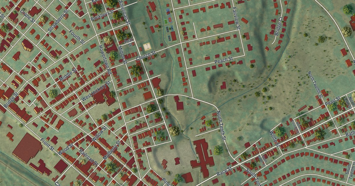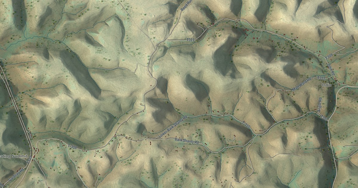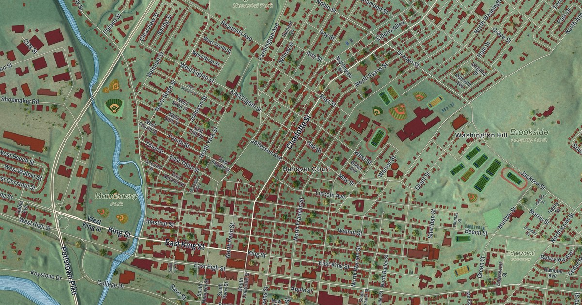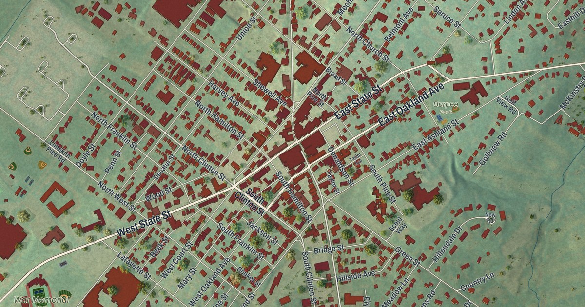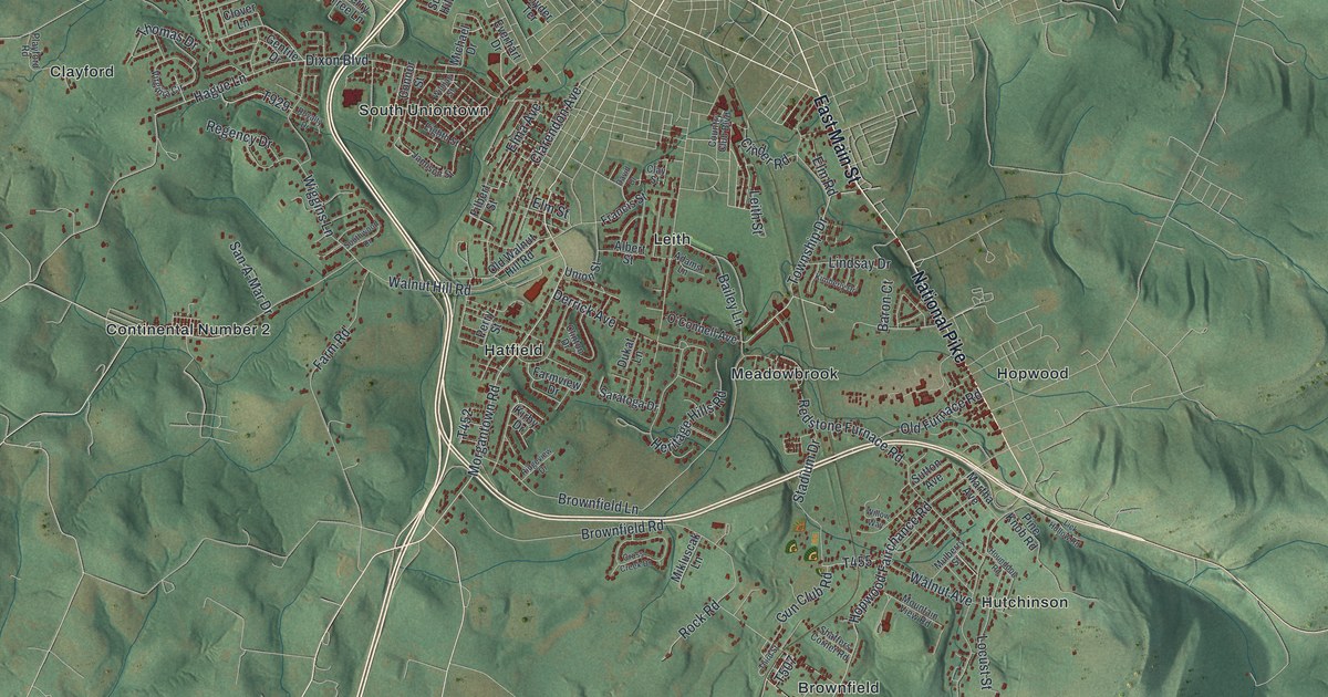
If you grew up in South Union, you'll find familiar names on this print. It's a modern aerial view of South Union in Fayette County, Pennsylvania, made with modern data and a vintage feel. Red buildings gather along pale roads, with green ridges rising beside them. Hopwood, Brownfield and South Uniontown give you places to start looking.
Hopwood and the National Road
On this map you'll find National Pike, Morgantown Road, Walnut Hill Road, McClellandtown Road, Hopwood Fairchance Road, Brownfield Road, Hopwood, South Uniontown, Leith, Hatfield, Hutchinson, Brownfield, Uledi, and more. Each red shape is a building, so zoom in on the preview and look for yours.
Hopwood was a place to rest on a long trip. The National Road historical marker tells how thousands crossed Chestnut Ridge between the East and Midwest. That traffic spanned the years from the road's creation in 1806 to the railroads of the 1850s. Hopwood, founded in 1791, became a major rest stop for travelers going both ways. Find Hopwood on the print beside the steep green hills.
Keep South Union and Hopwood close
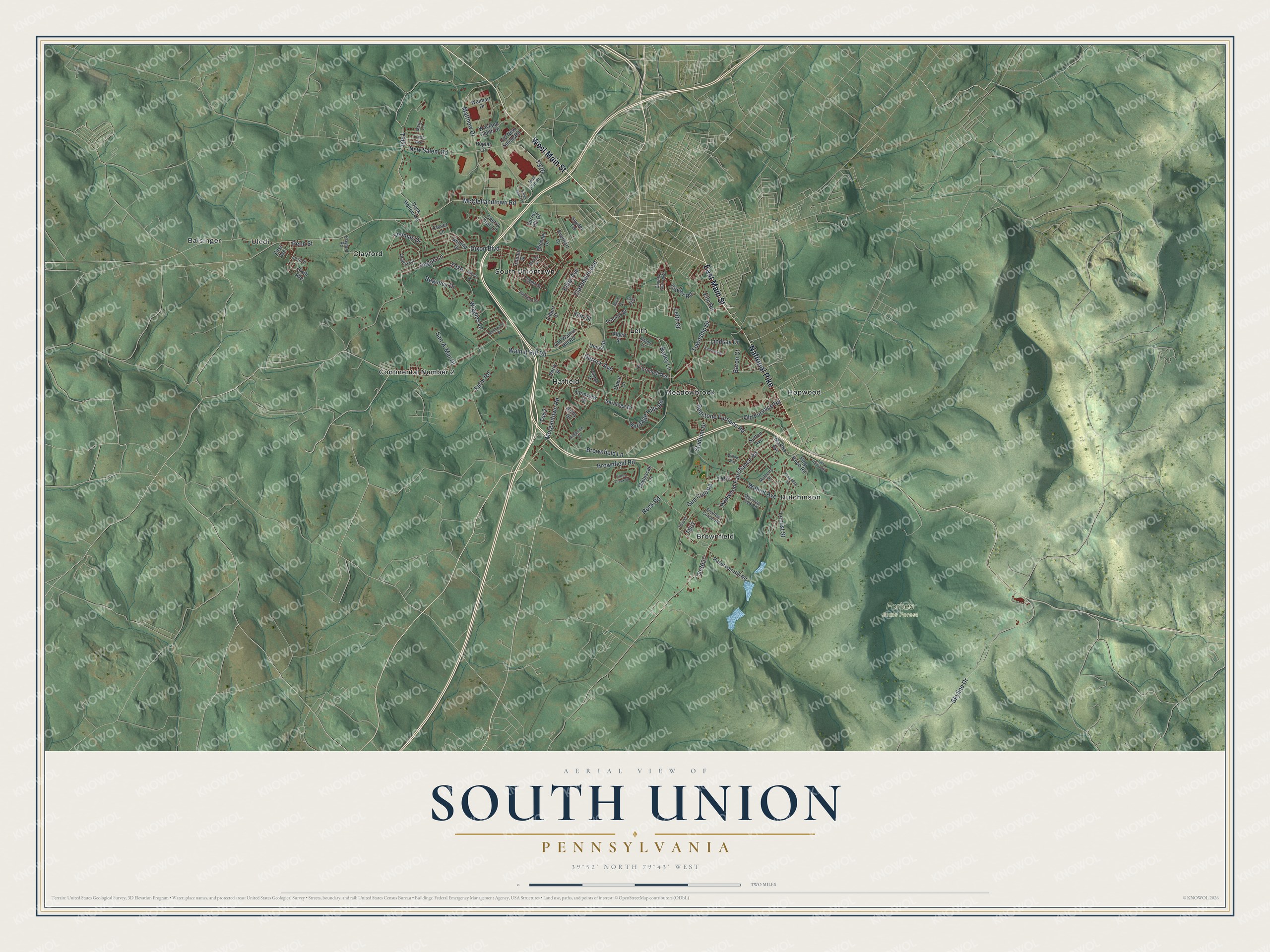
Created by KNOWOL in 2026, the print pairs green shaded hills with red buildings and pale roads. A cream border surrounds the view. The title panel reads AERIAL VIEW OF, SOUTH UNION, PENNSYLVANIA, and 39°52' NORTH 79°43' WEST.
Hang it in a living room, home office or entryway. It's a gift for someone who grew up in Hopwood and wants to keep home close. Open the preview and look for the streets you know. See sizes and frames for the South Union map.