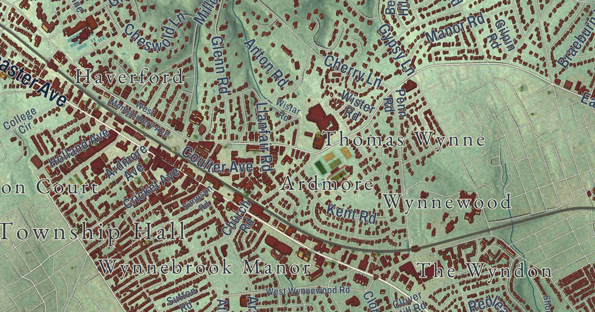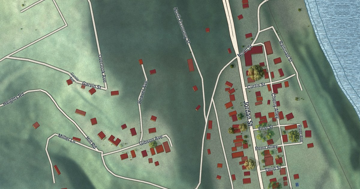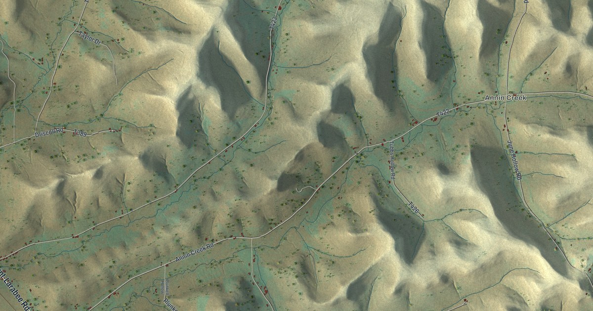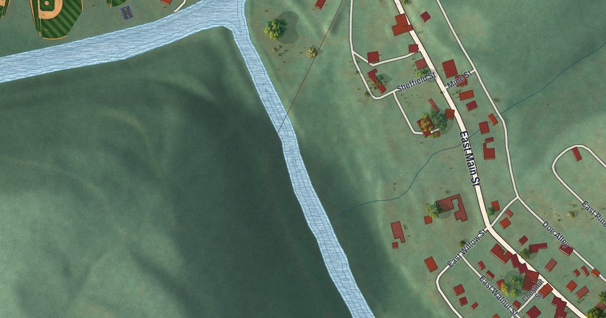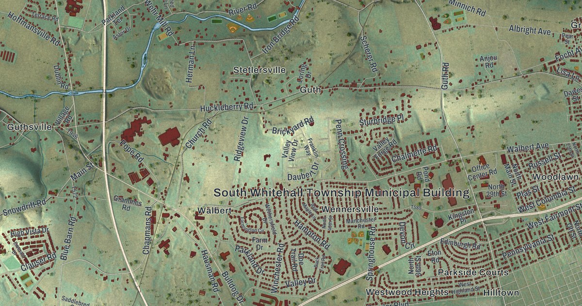
This beautifully detailed map of South Whitehall, Pennsylvania was created in 2026 using aerial imagery combined with modern topographical, census, street and landmark data. It’s a one-of-a-kind view of South Whitehall that combines accurate data with a vintage aesthetic. The map shows every building in its true location, many of the roads carry their names, and the shaded topographic relief shows the shape of the land.
Explore an aerial view of South Whitehall, Pennsylvania
On the map you’ll find South Whitehall Township Municipal Building, Bungalow Park, Cetronia, Crackersport, Dorneyville, Greenawalds, Guth, Guthsville, Hillside, Hilltown, Mechanicsville, Metamora Station, and more. If you look closely you can even find your house accurately drawn in its correct location. Zoom in on the preview to look for yours.
Did you know this piece of South Whitehall, Pennsylvania history?
German settlers began coming here around 1732, over a span of about 20 years. Back then the land was known as the back part of Macungie. In 1810 a petition split the old Whitehall Township in two, and South Whitehall was born.
Take a closer look at the South Whitehall map
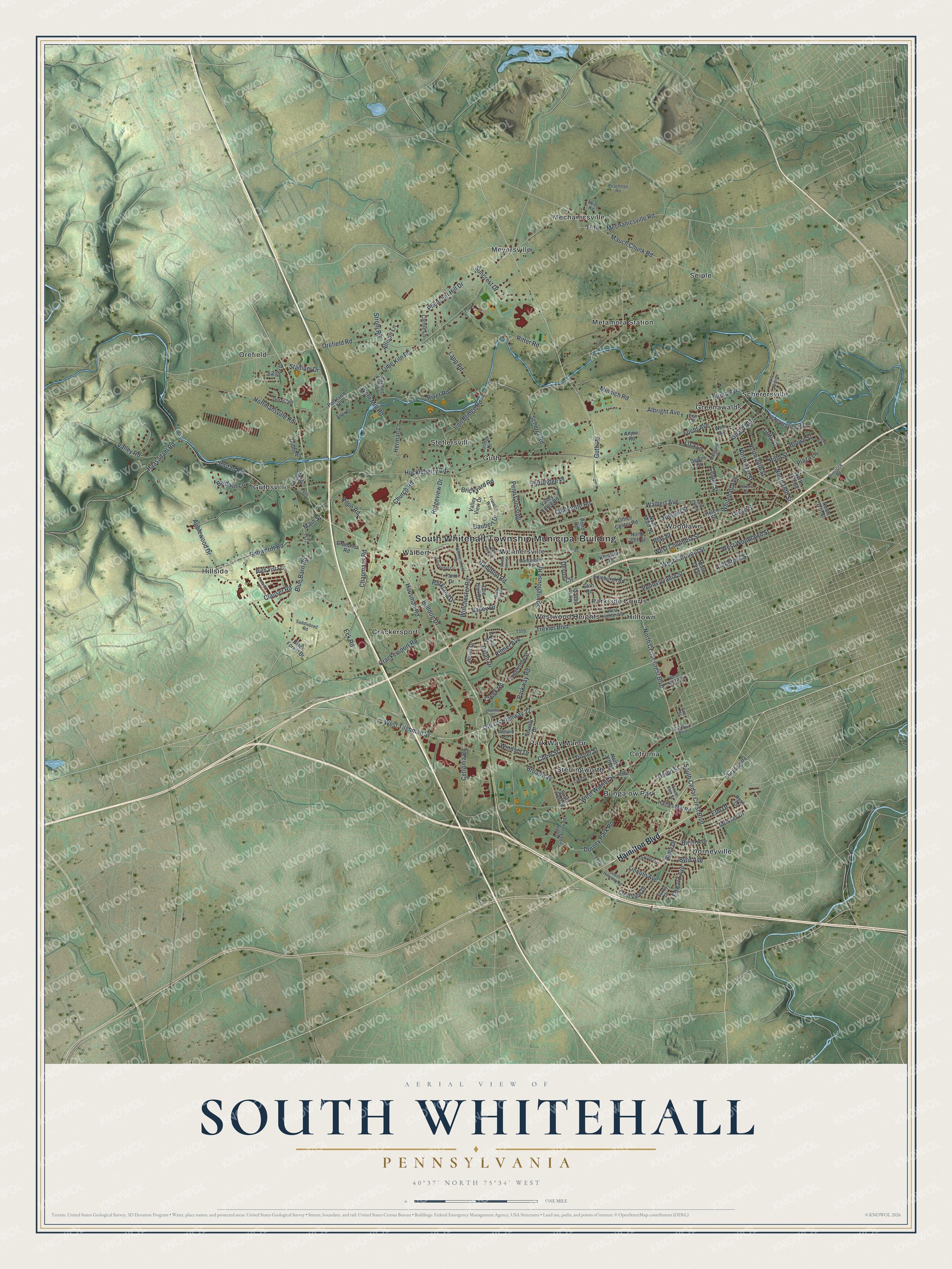
Street and place names on the South Whitehall, Pennsylvania map
These names are printed on the map of South Whitehall, Pennsylvania.
Places: South Whitehall Township Municipal Building, Bungalow Park, Cetronia, Crackersport, Dorneyville, Greenawalds, Guth, Guthsville, Hillside, Hilltown, Mechanicsville, Metamora Station, Meyersville, Orefield, Park Way Manor, Parkside Courts, Scherersville, Seiple, Sterlingworth, Stetlersville, Walbert, Wennersville, Westwood Heights and Woodlawn.
Streets and roads: Hamilton Boulevard, North Cedar Crest Boulevard, West Tilghman Street, South Cedar Crest Boulevard, West Fairmont Street, Pope Road, Lincoln Avenue, Huckleberry Road, Walbert Avenue, Mauch Chunk Road, Orefield Road, Broadway.
More street names, A to Z
Abigail Lane, Albright Avenue, Allison Lane, Alma Drive, Anjou Road, Applewood Drive, Astor Drive, Baldwin Lane, Belmont Street, Beverly Drive, Birch Avenue, Black Forest Drive, Blue Barn Road, Brickyard Road, Brown Street, Bryant Street, Buck Trail Road, Bulldog Drive, Byrd Avenue, Carole Lane, Center Street, Cetronia Road, Chalmette Road, Chapmans Road, Chew Street, Church Road, Clauser Road, Congress Street, Court Street, Covered Bridge Lane, Crackersport Road, Creek Road, Crest View Drive, Daubert Drive, Dawes Street, Devon Circle, Doe Trail Road, Dorney Park Road, Dublin Road, Dylan Drive, Eck Road, Edinburgh Road, Edward Avenue, Elm Drive, Emerald Drive, Erie Street, Eton Road, Farm Drive, Farmington Circle, Focht Avenue, Franklin Way, Girard Avenue, Grammes Road, Grove Street, Guth Road, Haasadahl Road, Haines Mill Road, Hampton Road, Hausman Road, Heather Court, Helen Street, Herman Lane, High Vista Drive, Hoffmansville Road, Iron Bridge Road, Jervin Drive, Jordan Road, Kilmer Avenue, Kingston Place, Lapp Road, Latta Street, Lime Kiln Road, Lisa Lane, Longfellow Street, Loring Drive, Main Street, Manchester Road, Mechanicsville Road, Mertz Lane, Midland Road, Minnich Road, Molinaro Drive, Mosser Drive, North 17th Street, North 18th Street, North 19th Street, North 20th Street, North 21st Street, North 25th Street, North 29th Street, North 36th Street, North 37th Street, North 40th Street, North Main Street, North Ott Street, Oakwood Trail, Office Center Road, Old US Highway 22, Overlook Road, Parkland Drive, Parkland Terrace, Parkway Boulevard, Parkway Road, Peachtree Road, Pear Street, Penn Crossing, Pennsylvania Street, Pheasant Hill Drive, Pirma Avenue, Plas Street, Plaza Lane, Pond Road, Reading Road, Red Maple Lane, Reilly Road, Ridgeview Drive, Ritter Road, River Road, Russell Street, Ruth Street, Ryan Drive, Saddlebred Road, Scherer Road, Scherersville Road, Sieger Drive, Snowdrift Road, South 34th Street, South 41st Street, South Cedarbrook Road, South Hillview Road, Springhouse Road, Stadium Drive, Strohl Road, Sturbridge Place, Suncrest Drive, Surrey Drive, Terrace Road, Trexler Boulevard, Turner Street, Union Street, Valley Drive, Valley Forge Road, Valley Road, Valley View Drive, Van Buren Drive, Village Road, Wehr Avenue, Wehr Mill Road, West Columbia Street, West Highland Street, West Liberty Street, West Walnut Street, West Woodlawn Street, Wethersfield Drive, Whitehall Avenue, Winchester Road, Windsor Drive.
See the South Whitehall, Pennsylvania map on a wall
The South Whitehall map as an 18 x 24 inch print in a black frame.

This beautifully detailed map of South Whitehall makes an attractive addition to your office, library, or den, and it can even be used to teach children the geography and history of the area. It also makes a great gift for anyone with South Whitehall roots. When you’re done exploring, click here to get your copy of the South Whitehall map.