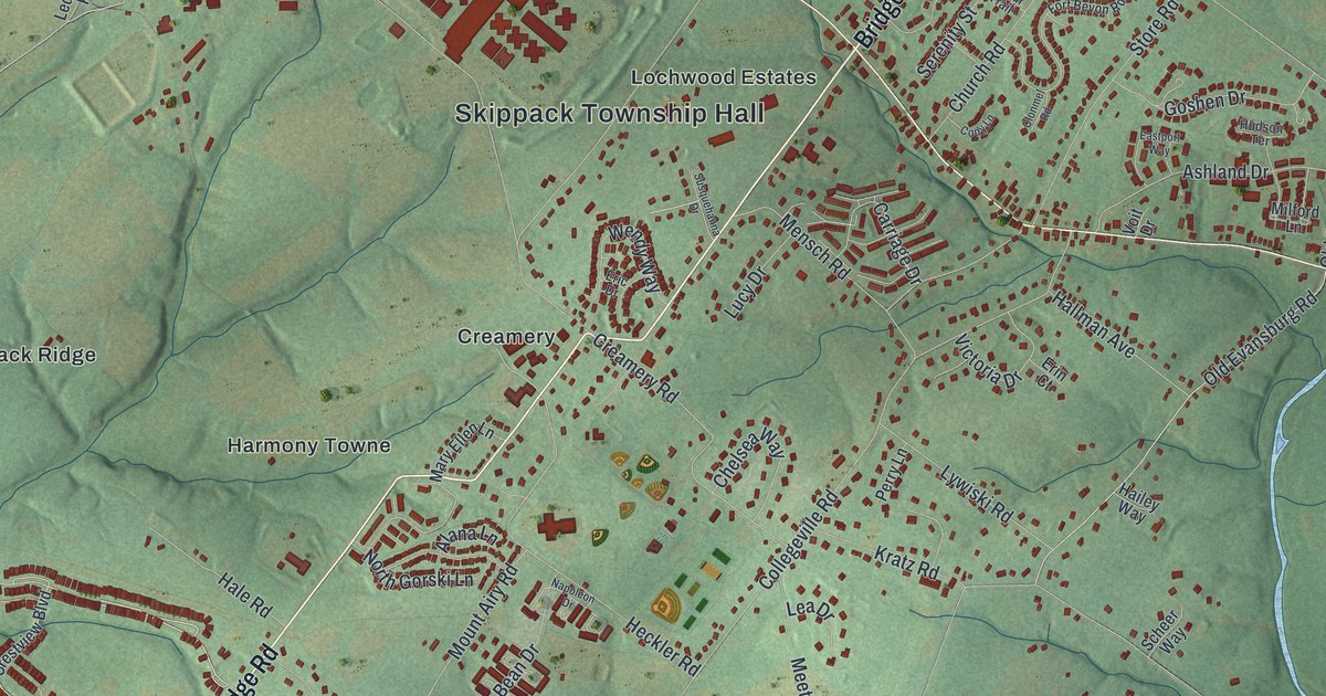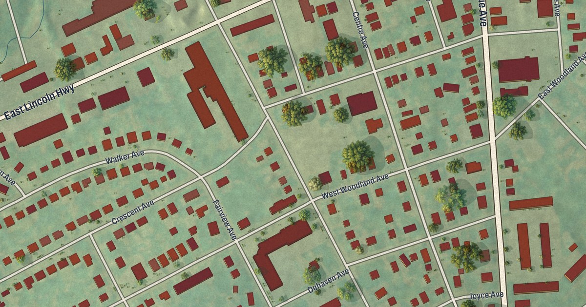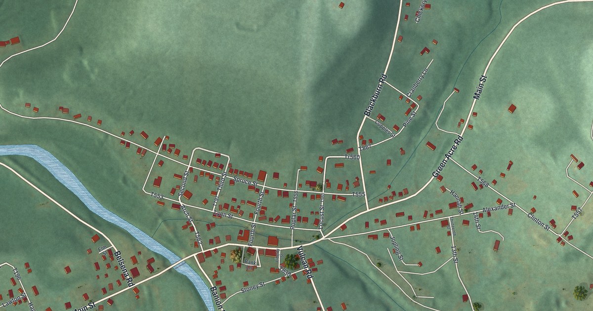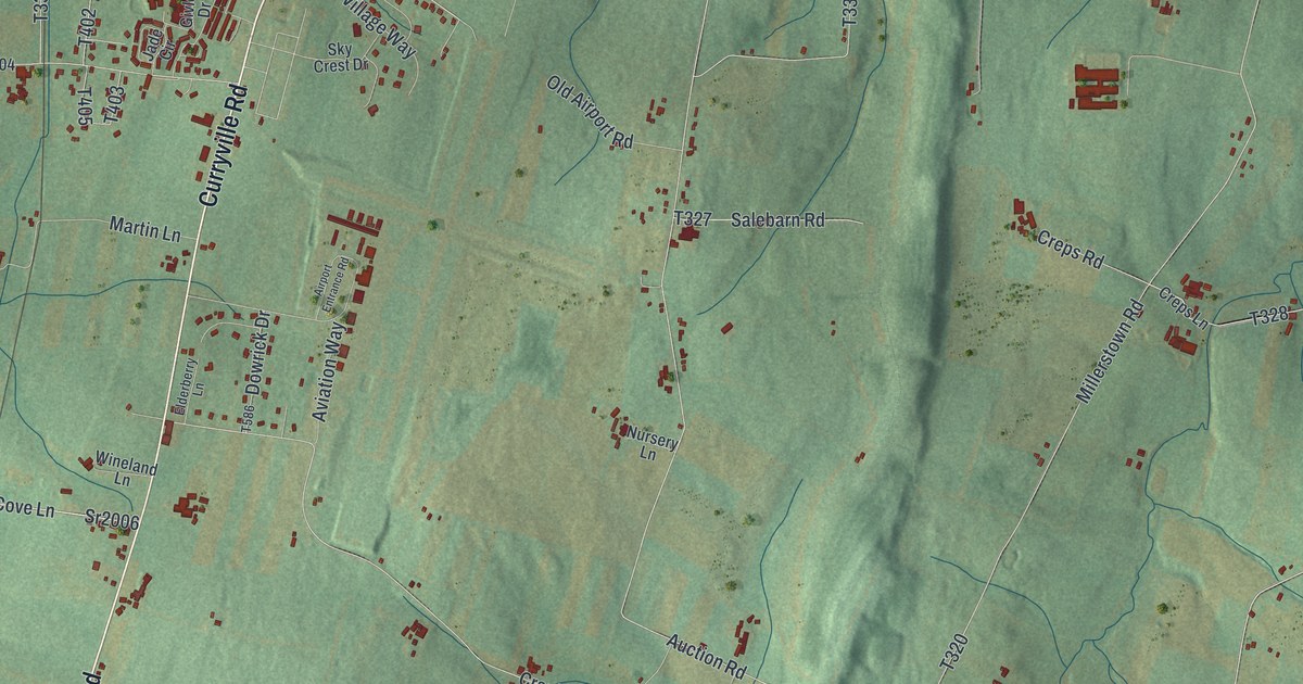
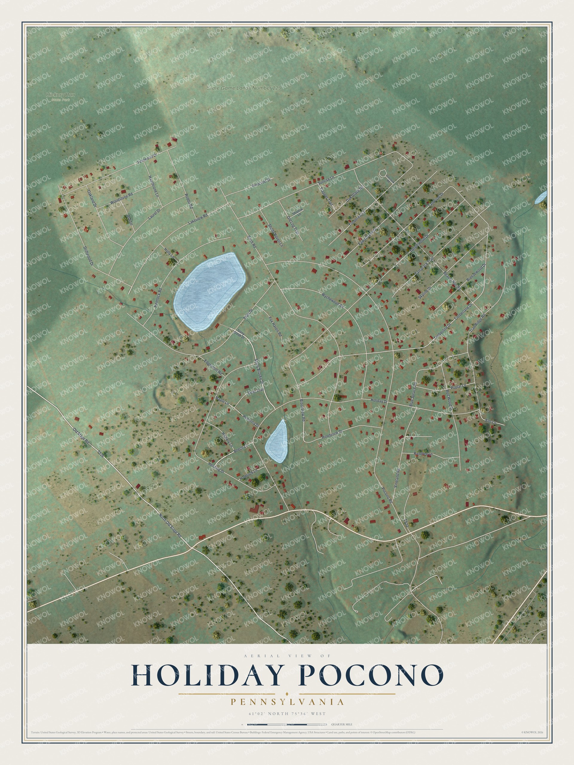
This beautifully detailed map of Holiday Pocono, Pennsylvania was created in 2026 using aerial imagery combined with modern topographical, census, street and landmark data. It's a modern aerial view of Holiday Pocono in Carbon County, Pennsylvania, that combines modern data with a vintage aesthetic. The roads feature printed names, and if you look closely you can find your exact house accurately shown in its correct location.
Explore an aerial view of Holiday Pocono, Pennsylvania
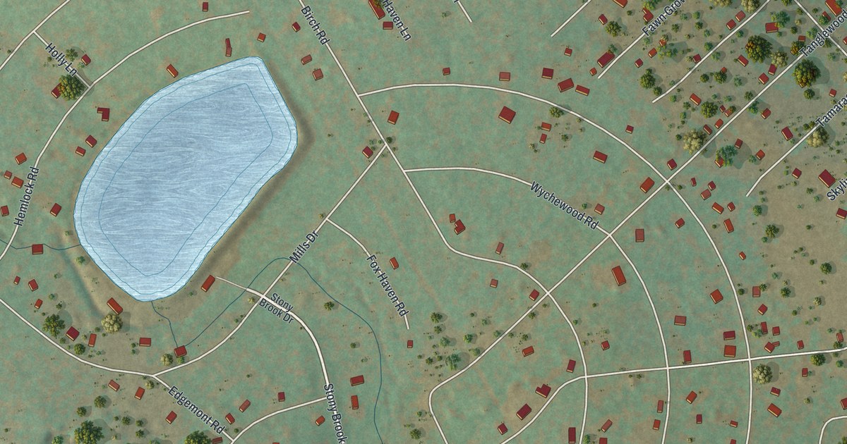
On this map you'll find Hickory Run State Park, State Game Lands Number 129, North Old Stage Road, Mills Drive, Stony Brooke Drive, Hemlock Lane, Brookview Road, Pocono Road, Birch Road, Trail Ridge Road, Tanglewood Drive, Timberline Drive, and more. Each red shape is a building, so zoom in on the preview and look for yours.
Holiday Pocono is a community in Carbon County. The Census Bureau counted 583 people here in 2020. Holiday Pocono sits about 3 miles northwest of Towamensing Trails, 6 miles west of Indian Mountain Lake and 8 miles east of East Side. The map prints the town name in its title panel, with the coordinates below it.
Take a closer look at the Holiday Pocono map
Names on this map
These names are printed on this map.
Places: Hickory Run State Park and State Game Lands Number 129.
Streets and roads: North Old Stage Road, Mills Drive, Stony Brooke Drive, Hemlock Lane, Brookview Road, Pocono Road, Birch Road, Trail Ridge Road, Tanglewood Drive, Timberline Drive, Timberlane Drive, Holiday Drive.
More street names, A to Z
Ash Lane, Beaver Run Road, Beech Lane, Blue Spruce Road, Breezewood Drive, Deer Trail, Driftwood Drive, Edgemont Road, Elm Lane, Fawn Grove Drive, Fernwood Drive, Fox Haven Road, Hawthrone Lane, Hemlock Road, Henmina Drive, Henning Drive, Hickory Lane, Holly Lane, Lakeview Road, Laurel Drive, Maple Lane, Oak Glade Road, Oakland Drive, Old Log Trail, Old Stage Road, Overlook Road, Pinebrook Drive, Pinecrest Drive, Poplar Lane, Raintree Lane, Red Wood Drive, Rodda Road, Shadow Lane, Shady Haven Lane, Skyline Drive, Stony Brook Drive, Sunrise Lane, Tallwood Drive, Tamarack Trail, Timberest Lane, Trapper Trail, Vineland Road, Woodstone Road, Wychewood Road.
See it on a wall
The Holiday Pocono map as a framed print. Swipe for more.


Created by KNOWOL in 2026. The buildings are small red shapes, the roads carry their printed names, and shaded relief shows the shape of the land. The title panel reads "AERIAL VIEW OF HOLIDAY POCONO, PENNSYLVANIA" with 41°02' NORTH 75°36' WEST.
It looks right in a kitchen, an office or a den, and it's a gift for anyone who grew up in Holiday Pocono or moved away. Open the preview and find your street. See sizes and frames for the Holiday Pocono map.