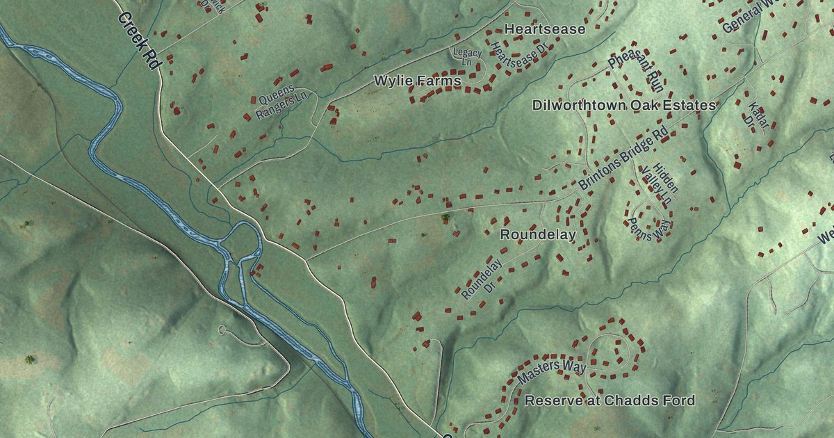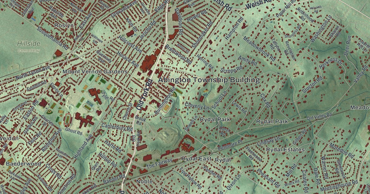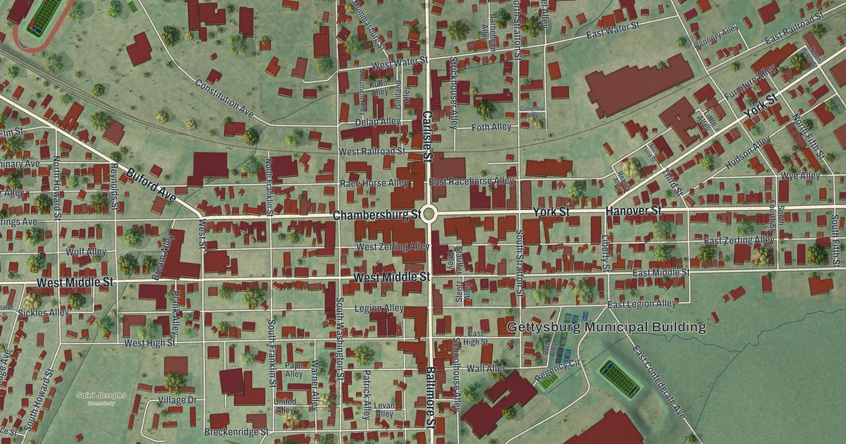
If you grew up in Davidsville, Hollsopple, Jerome or Tire Hill, or you still have family out along Penn Avenue, this map has a lot for you to find. It's a modern aerial view of Conemaugh Township in Somerset County, Pennsylvania, made from modern data with a vintage feel. Green shaded hills fill the sheet, and each building is a small red mark. The villages gather in the middle, a river winds down the right side, and a wide lake sits at the bottom. The river and the lake aren't labeled, but they're easy to spot. Explore the print options for Conemaugh, Somerset County.
From Davidsville to Tire Hill and Jerome
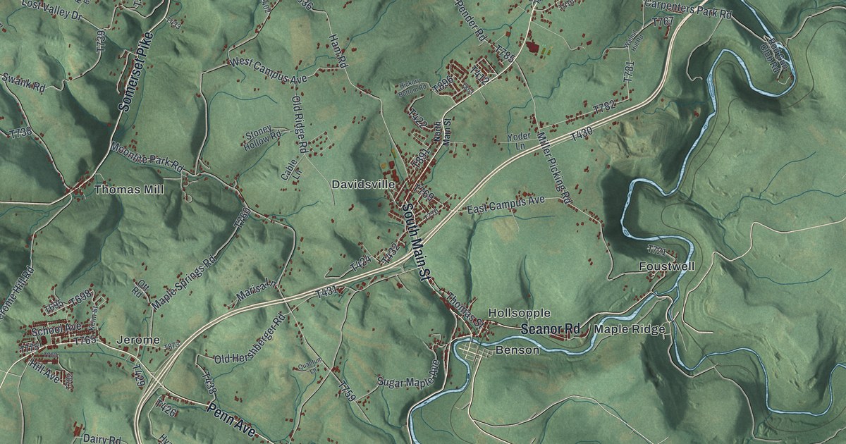
Start at Davidsville, near the middle of the sheet, where the red marks sit closest together. Just to the southeast are Hollsopple and Benson. Seanor Road runs east from there, through Maple Ridge, to Miller Picking Road. Turn north on Miller Picking Road and you'll pass Foustwell. Keep going and you'll meet Tire Hill Road. It heads north into the top right part of the map, past Tire Hill, with Krings just beyond it.
Now go back to Hollsopple and take Penn Avenue west. It runs to Jerome, a small cluster of streets with School Avenue and Keim Street. Along the way, Woodstown Highway leaves Penn Avenue and heads south toward the lake. From Jerome, Jerome Hill Road goes north to Thomas Mill and Somerset Pike. Way out in the top left corner, Laurel Ridge State Park is printed beside Menoher Highway. Many roads are labeled, and each red mark is a building, so zoom in on the preview and look for yours.
Davidsville got its name in a very plain way. An 1884 county history says David Stutzman laid out the village in 1831. People didn't think Stutzman sounded nice enough for a village. So they used his first name instead. Joseph Schell and Peter Levy built the first house that same year. For many years it was both a store and a hotel. Levy worked as a surveyor for about fifty years. When the book came out, he was 89 and the oldest man in Conemaugh Township. It called him "smart and active."
The same book says Conemaugh Township was organized in February 1801. The first township election was held at a farmhouse, and later voters met in Davidsville. By 1883 the village had two general stores, a grocery, a blacksmith shop, a wagon shop and a hotel. Up near the top center of the map, look for Covered Bridge Road, also printed as T634. The National Register lists Shaffer's Bridge on that road, west of Tire Hill. The bridge itself isn't labeled on the map.
For someone who grew up near Davidsville
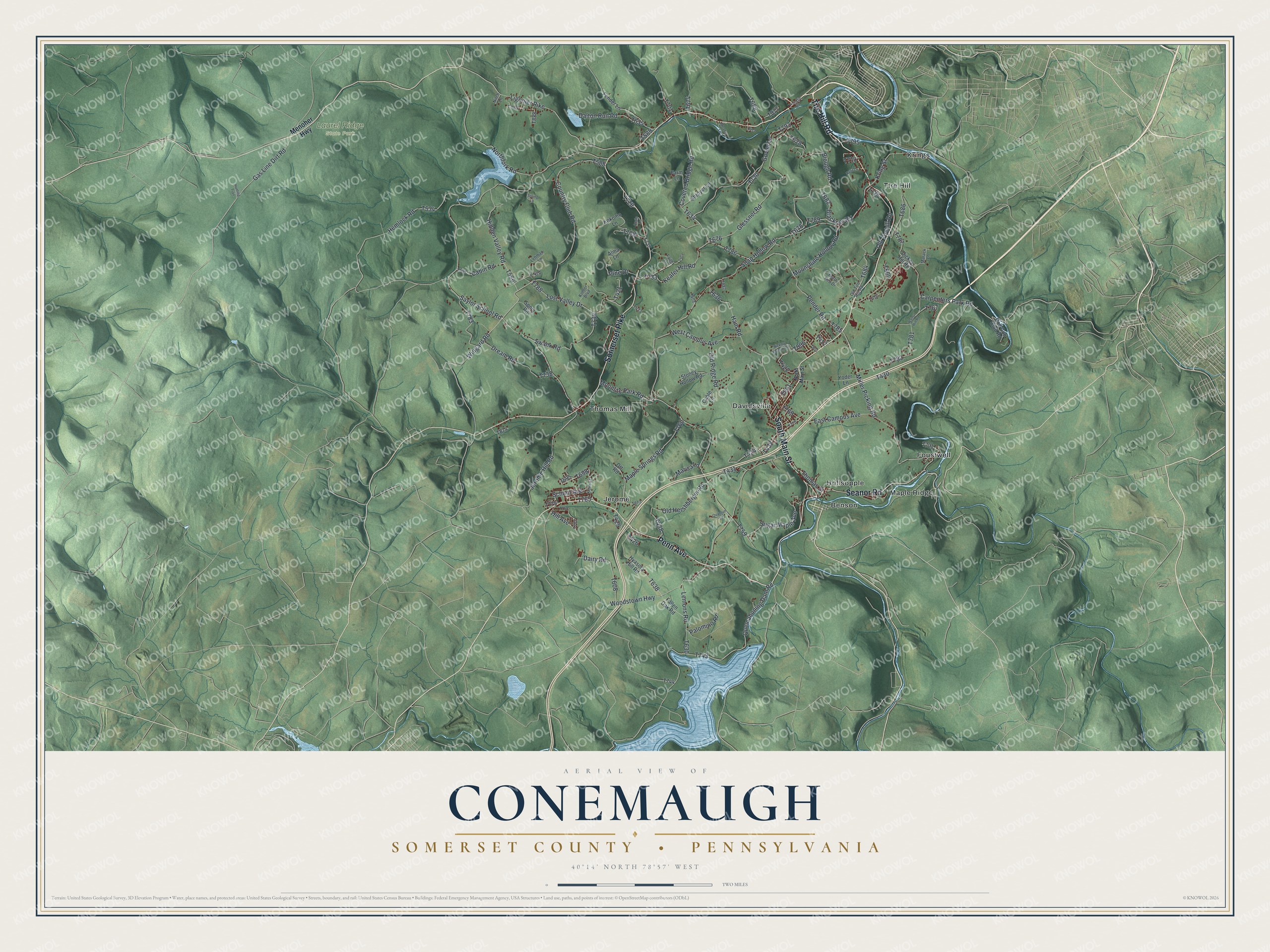
Created by KNOWOL in 2026, this Conemaugh map suits a den, a kitchen or a camp wall. The shaded hills come from USGS elevation data, and the roads come from Census Bureau records. The title panel reads "Aerial View of Conemaugh, Somerset County, Pennsylvania," with 40°14' North 78°57' West and a two-mile scale bar.
It's a good gift for someone who grew up in Davidsville or Jerome and moved away, or for a family with roots along Penn Avenue. Open the watermarked preview, find Davidsville near the middle, and trace the road home from there. Shop the Conemaugh, Somerset County, Pennsylvania map.