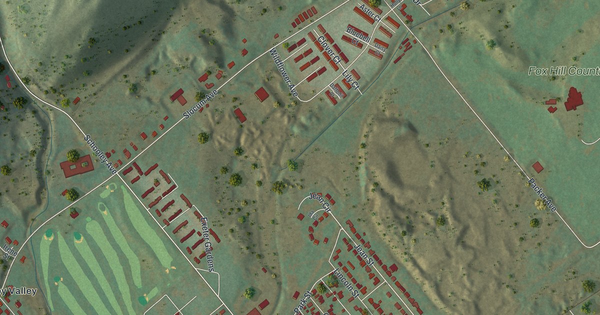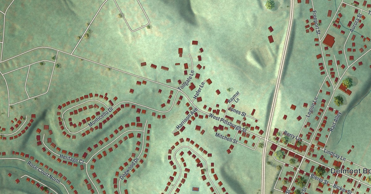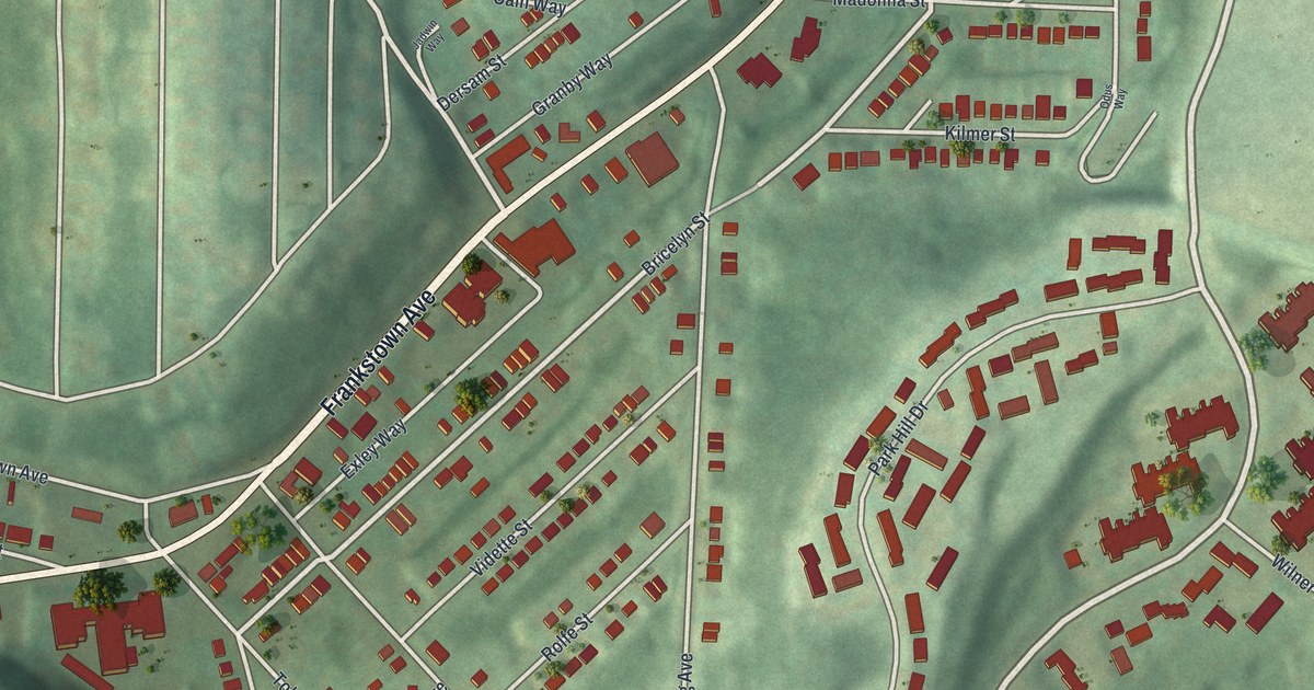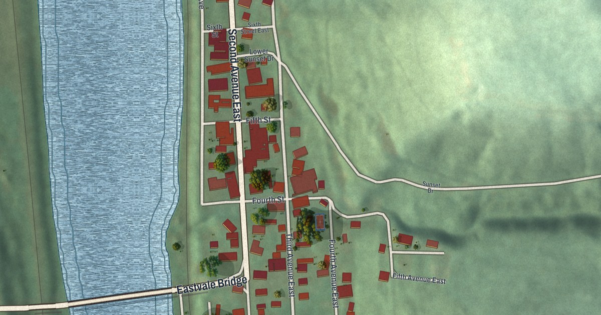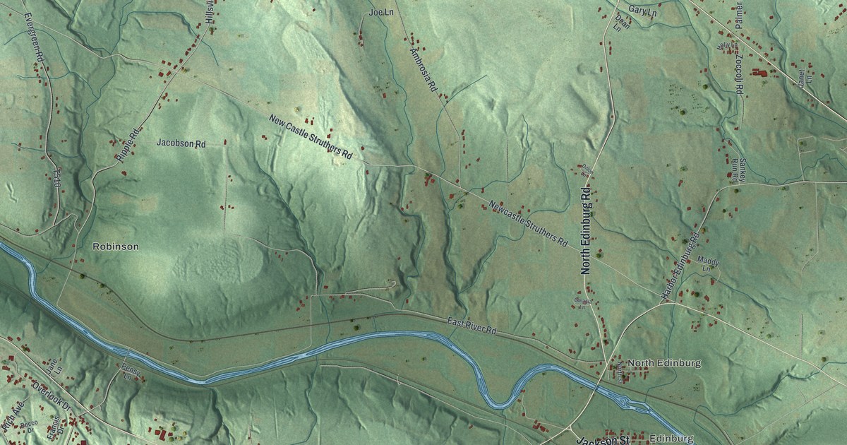
If you grew up in Edinburg, Hillsville or North Edinburg, this map puts your home roads on one sheet. It's a new aerial view of Mahoning Township in Lawrence County, Pennsylvania, made from modern data and given a vintage look. A blue river winds across the middle, with Edinburg and North Edinburg close to its banks. Hillsville and Peanut sit to the southwest, and Quaker Falls Recreation Area is by the water on the west side. Up north, Benjamin Franklin Highway cuts across the green hills.
Edinburg, birthplace of Ira D. Sankey
On this map you'll find Erie Street, West State Street, Jackson Street, East Main Street, West Main Street, North Edinburg Road, East River Road, Benjamin Franklin Highway, Mohawk School Road, Hillsville Road, Erskine Quarry Road, Sankey Run Road, Quaker Falls Recreation Area, Robinson, Peanut, and more. Each red shape is a building, so zoom in on the preview and look for yours.
Ira D. Sankey was born at Edinburg. A state historical marker calls him a famous singing evangelist. He worked with Dwight L. Moody in Europe and in America. Sankey was born at Edinburg on August 28, 1840. The house he was born in is gone now. He died in Brooklyn, New York, on August 13, 1908. His marker stands on Erie Street at the Edinburg post office. On the map, find Erie Street in Edinburg, near Jackson Street and the bend in the river.
Limestone at Hillsville
Mahoning is one of Lawrence County's first townships. It takes its name from the river that flows through it, says a county history printed in 1877. That book says limestone was quarried in many spots here. Most of it was shipped to the furnaces in Youngstown, Ohio. Large quantities of stone were quarried along the south side of the river, at Hillsville station and nearby. Men who owned furnaces in Youngstown paid to work those quarries. Coal was dug out at old Hillsville station too. On the map, look near Hillsville, Erskine Quarry Road and Churchill Road. The ground there is cut into steps, with long blue pools between them.
From Edinburg to Hillsville
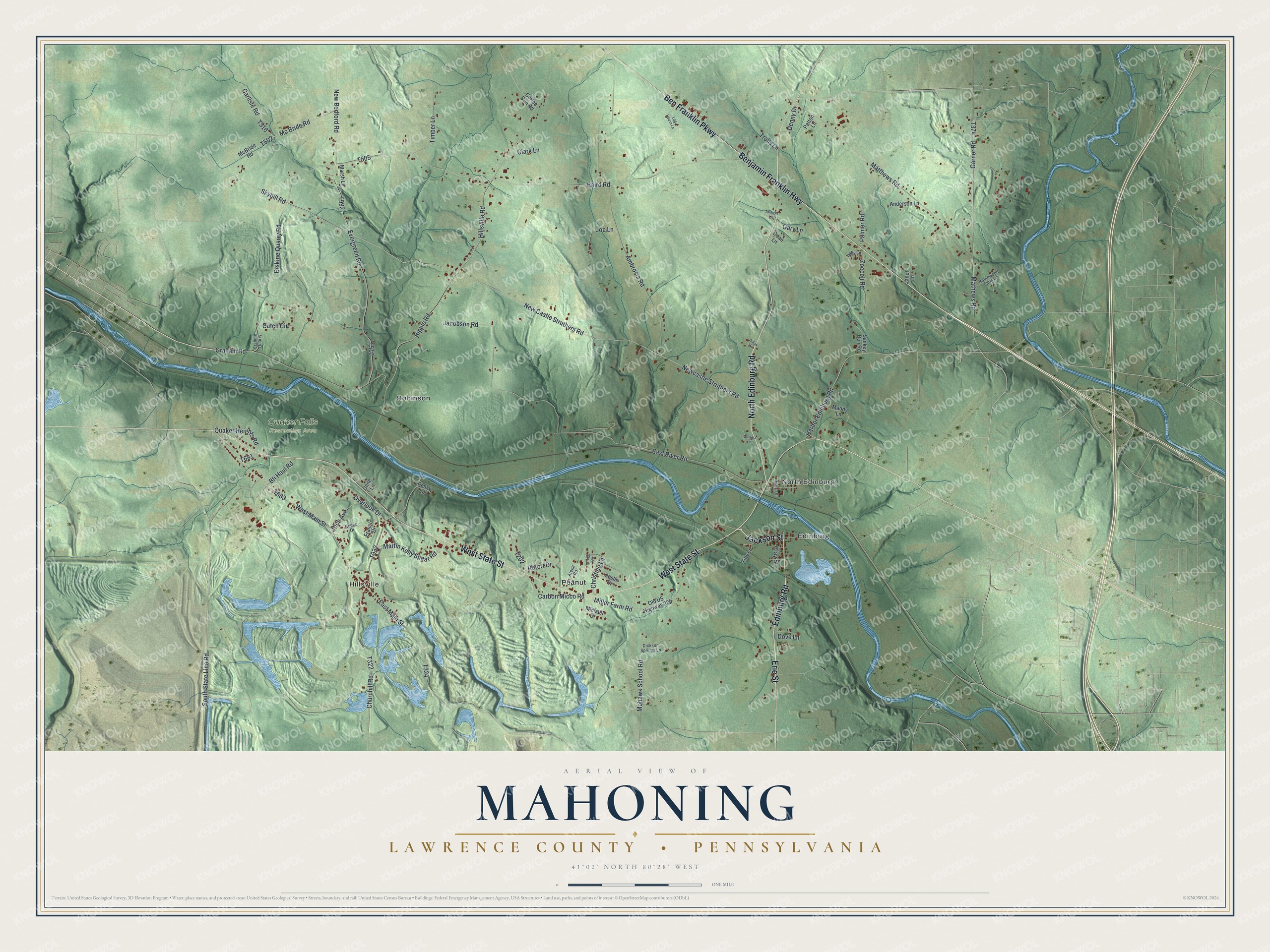
Created by KNOWOL in 2026, this print shows the township in soft greens, with shaded hills, a winding blue river and small red buildings. The title panel reads Aerial View of Mahoning, then Lawrence County • Pennsylvania, with 41°02' North 80°28' West below it.
It fits well in a den, a front hall or a home office. It's a kind gift for someone who grew up near Quaker Falls Recreation Area or went to school off Mohawk School Road, and for family who moved away from Edinburg. Open the preview and find your own road. See sizes and frames for the Mahoning, Lawrence County map.