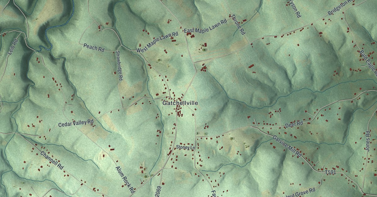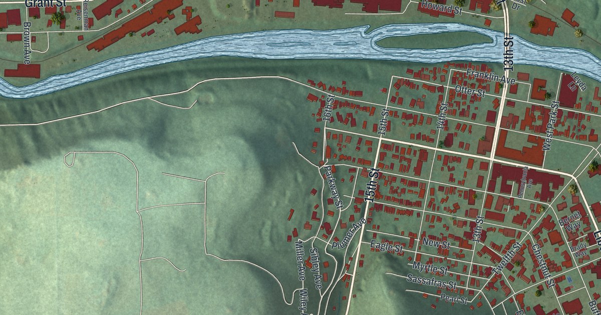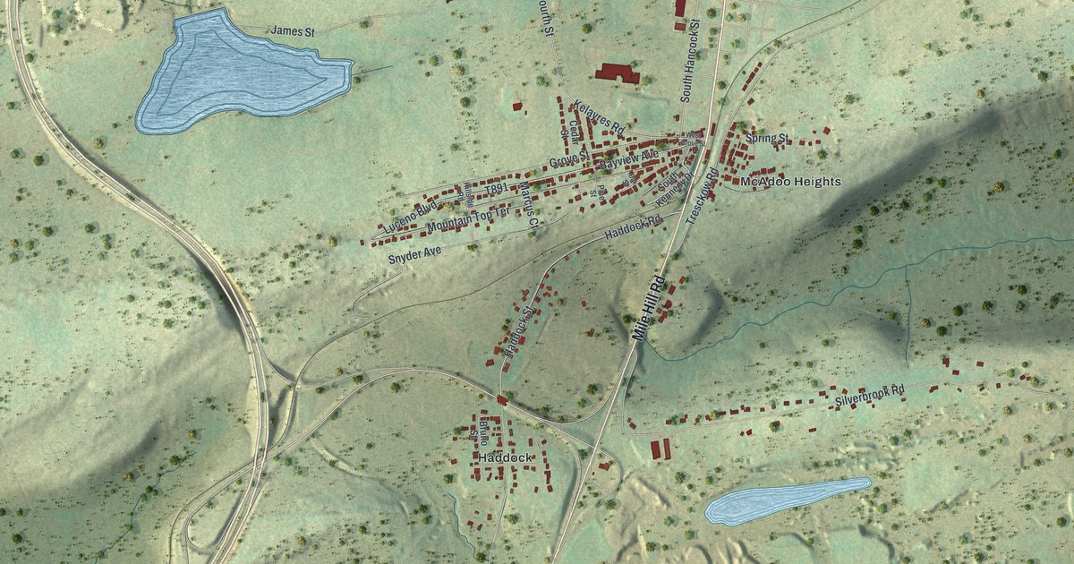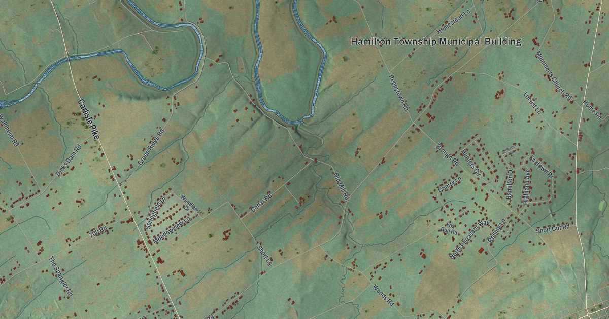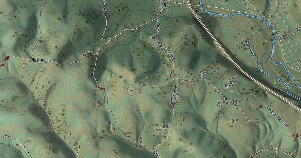
If you grew up in Perryville or Quiggleville, or have family on a hill road above Lycoming Creek, this map covers the ground you know. It's a modern aerial view of Lycoming Township in Lycoming County, Pennsylvania, made from modern data and given a vintage feel. Shaded ridges and hollows fill most of the sheet. A blue creek winds down the right side next to the main highway. Homes show up as small red shapes along the back roads, and the thickest cluster is at Fairlawn and Woodland Park.
Perryville, Quiggleville and Lycoming Creek Road
Start at Perryville, near the top of the map where the highway bends close to the creek. Mill Hill Road heads west from there into the hills. Saint Michaels Road climbs north to Quiggleville, with Dauber Road and Koch-Horn Lane close by. West Route 973 Hwy comes in from the left side toward Quiggleville. Now go back to the creek. Lycoming Creek Road is the long road that runs down the right side of the sheet.
Follow Lycoming Creek Road south. Pleasant Hill Road and McKee Road branch off to the west on the way. Then you'll reach Fairlawn and Woodland Park, the busiest few blocks on the map. Beauty Avenue, Linn Street, Oak Street and Cottage Avenue are printed there. From Fairlawn, Beautys Run Road runs west across the middle of the sheet. It meets Maple Spring Road, Grove Road and Wagner Hill Road, then reaches Kiess Hill. Many roads are labeled, and each red shape is a building, so zoom in on the preview and look for yours.
Lycoming Township's 1858 vote and iron mines
An 1892 History of Lycoming County records the vote that formed Lycoming Township. In October 1858, 124 people voted for a new township and 74 voted against it. That history also says iron ore was mined on the farms of Isaiah Hays, Jesse Quigel and others from 1854 to 1875.
The 1892 history spells the place name Quigelville; the map prints Quiggleville. Look near the middle of the map and you'll find Maple Spring Road and Pleasant Hill Road.
Lycoming Creek and the shaded hills
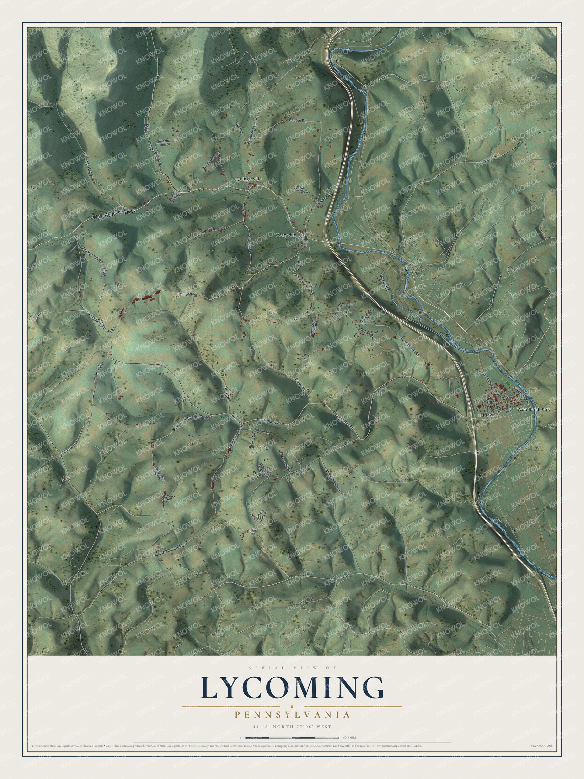
Created by KNOWOL in 2026, this Lycoming map fits a den, an office or a camp wall. The map shows the ridges and hollows between the named roads. The title panel reads "Aerial View of Lycoming, Pennsylvania," with the coordinates 41°18' North and 77°06' West.
It's a good gift for someone who grew up near Perryville and moved away, or for family who still drive Lycoming Creek Road. Open the preview, zoom in and find the road you know. See sizes and frames for the Lycoming map.