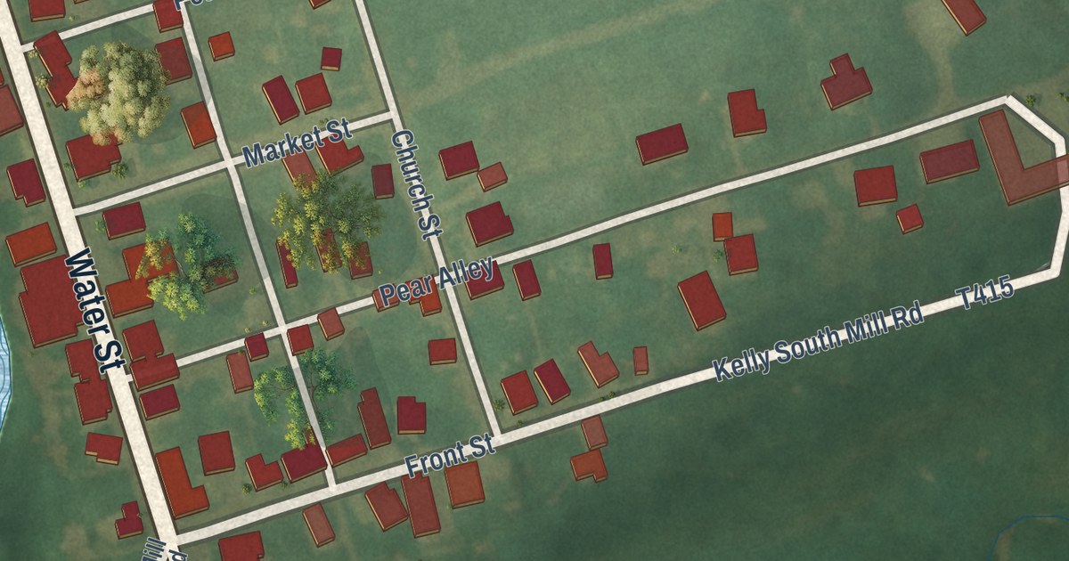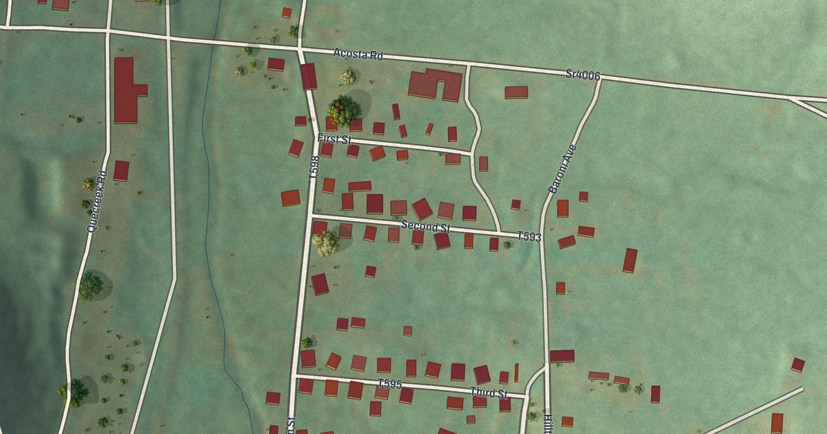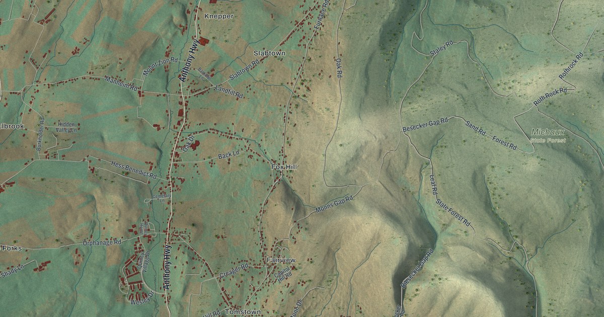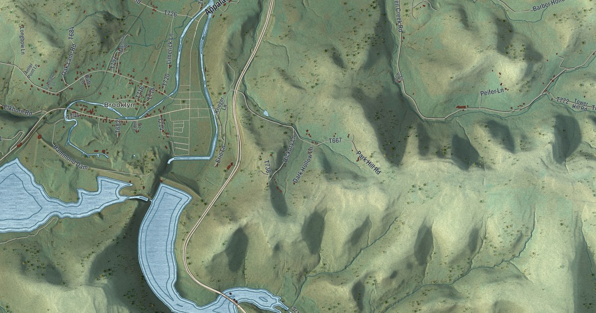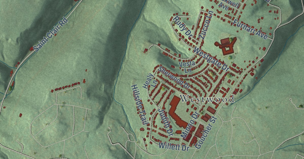
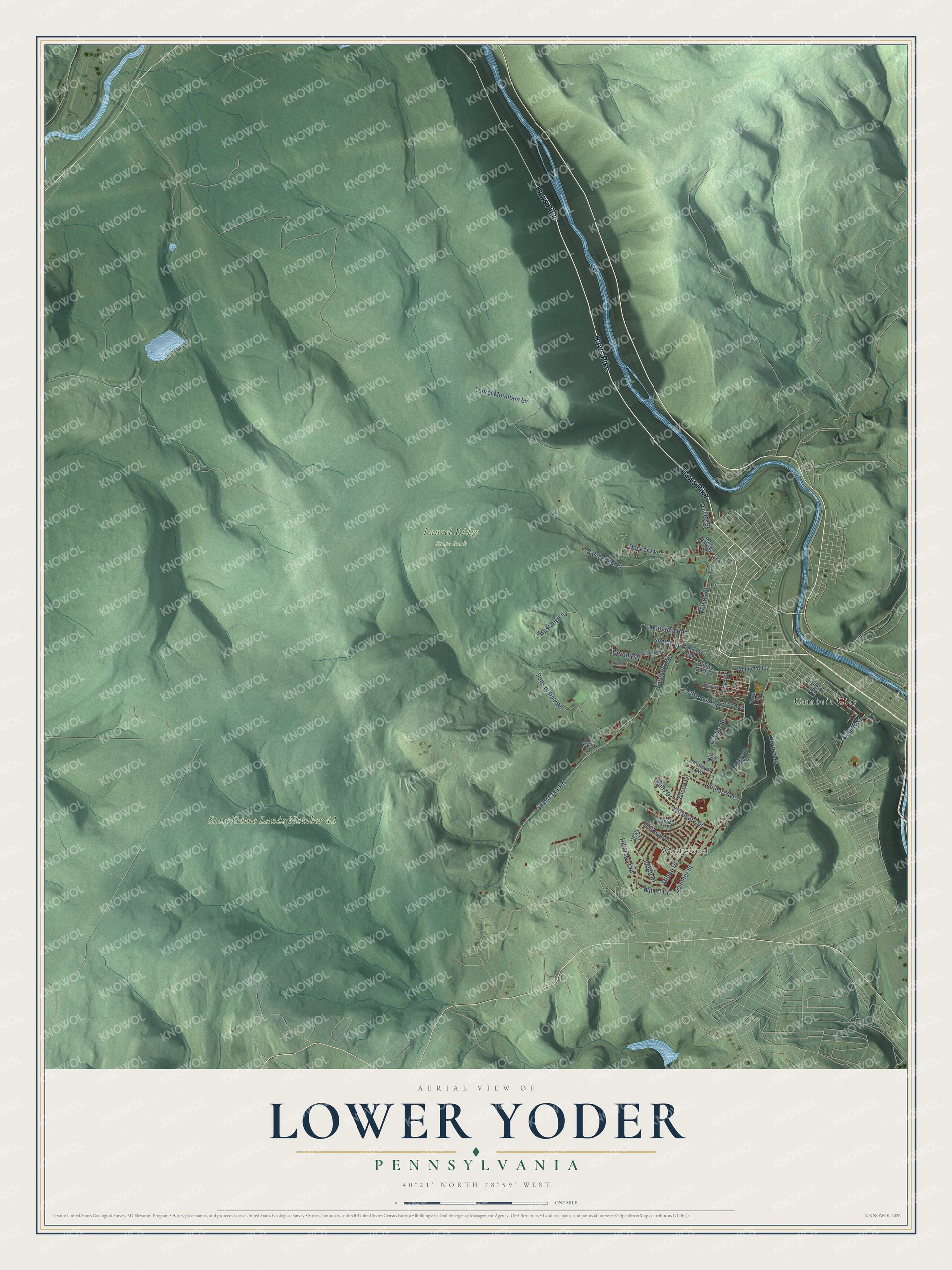
This beautifully detailed map of Lower Yoder, Pennsylvania was created in 2026 using aerial imagery combined with modern topographical, census, street and landmark data. It’s a one-of-a-kind view of Lower Yoder that combines accurate data with a vintage aesthetic. The map shows every building in its true location, many of the roads carry their names, and the shaded topographic relief shows the shape of the land.
Explore an aerial view of Lower Yoder, Pennsylvania
On the map you’ll find Laurel Ridge State Park, Stackhouse Park, Cambria City, and Westwood, along with Haws Pike, Harold Avenue, Fairfield Avenue, Gilbert Street, Saint Clair Road, Decker Avenue, Goucher Street, Mountain Road, and more. If you look closely you can even find your house accurately drawn in its correct location. Zoom in on the preview to look for yours.
Take a closer look at the Lower Yoder map
Street and place names on the Lower Yoder, Pennsylvania map
These names are printed on the map of Lower Yoder, Pennsylvania.
Places: Laurel Ridge State Park, State Game Lands Number 42, Cambria City and Westwood.
Streets and roads: Haws Pike, Saint Clair Road, Fairfield Avenue, Gilbert Street, Wilson Street, Decker Avenue, Goucher Street, Mountain Road, Laurel Mountain Lane, Sons of Italy Road, Sandstone Lane, Westgate Drive.
More street names, A to Z
Angler Place, Apodel Alley, Avis Avenue, Billow Park Lane, Chester Street, Dill Lane, Durant Street, Duwell Street, Esterville Road, Falcon Drive, Flora Street, Ford Street, Furnari Avenue, Grazier Street, Gull Place, Healy Lane, Hillside Trail, Judith Drive, Mary Ann Court, Minno Drive, Mustang Lane, Norton Road, Palmer Avenue, Pulaski Lane, Redwood Avenue, Rockwell Avenue, Rudy Drive, Shelby Street, Sherwood Drive, Studebaker Court, Vesta Lane, Willett Drive, Zucco Lane.
See the Lower Yoder, Pennsylvania map on a wall
The Lower Yoder map as an 18 x 24 inch print in a black frame.

This beautifully detailed map of Lower Yoder makes an attractive addition to your office, library, or den, and it can even be used to teach children the geography and history of the area. It also makes a great gift for someone who left Lower Yoder and still calls it home. When you’re done exploring, click here to get your copy of the Lower Yoder map.