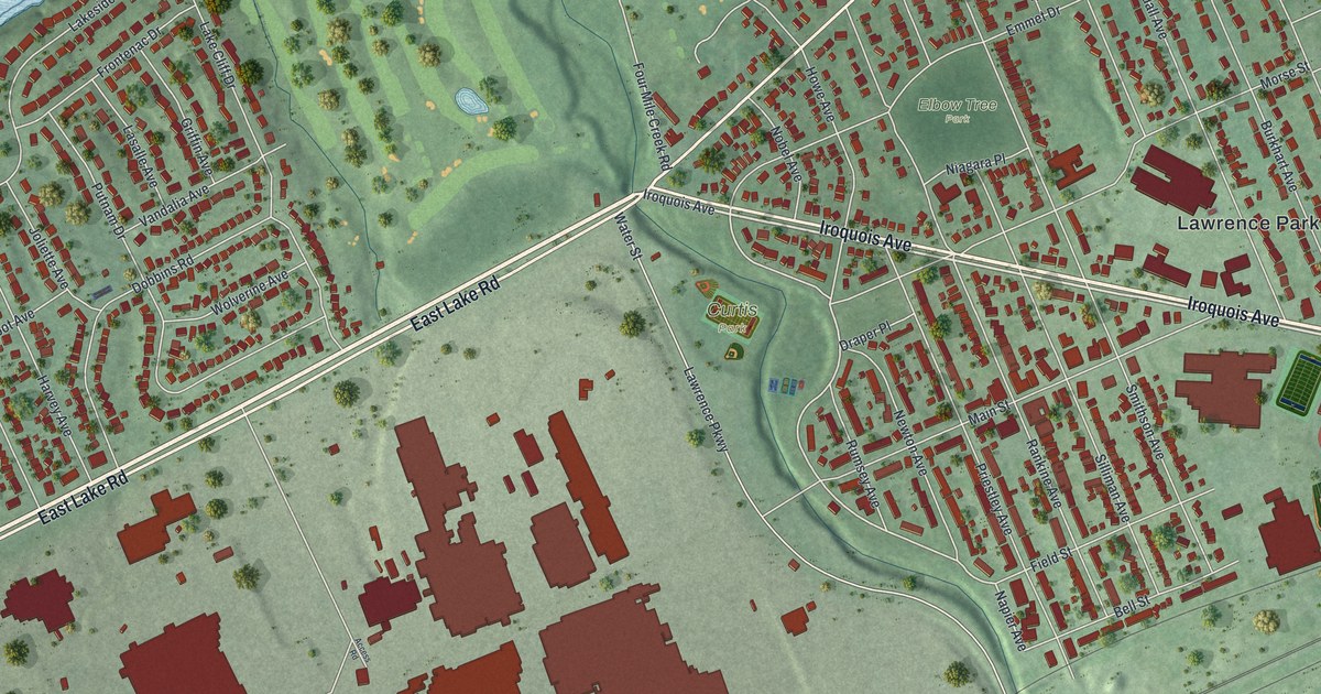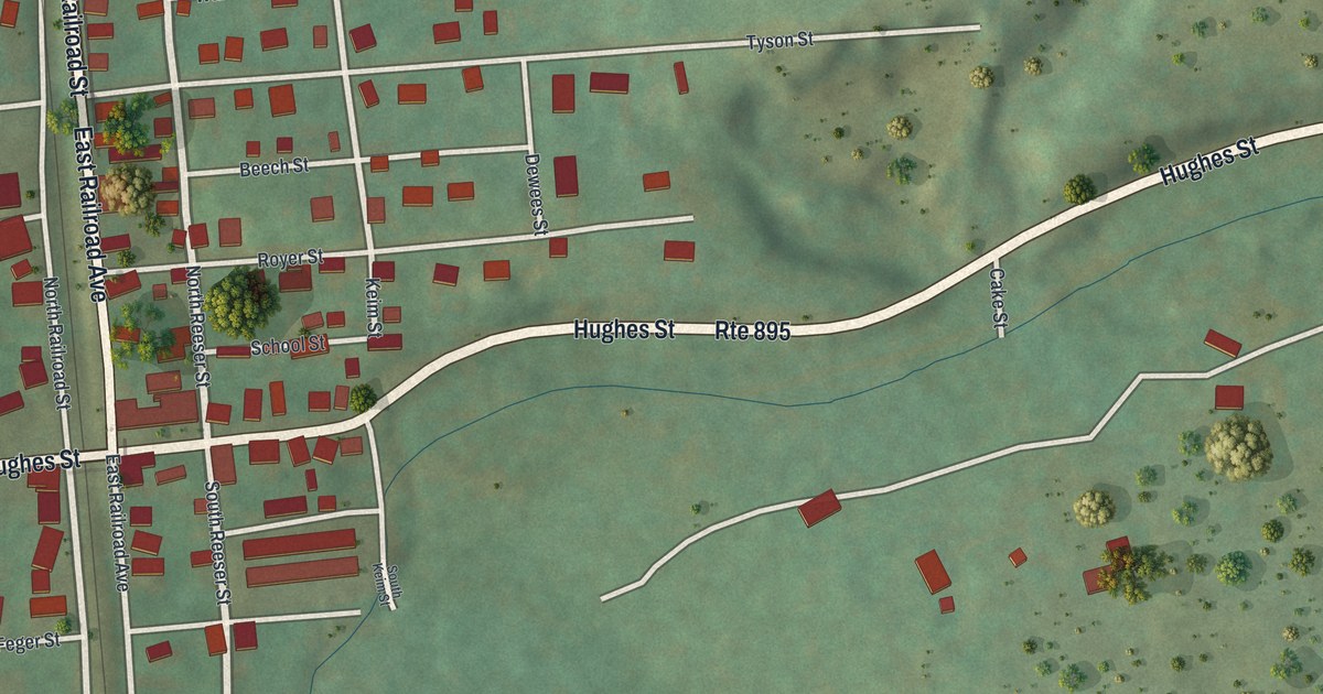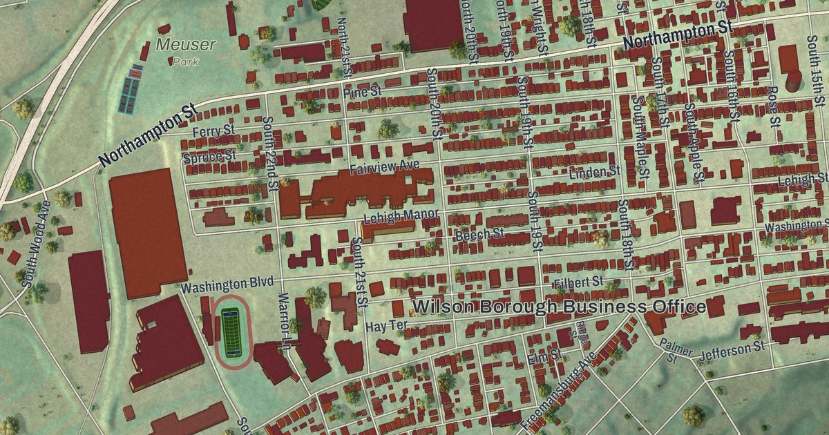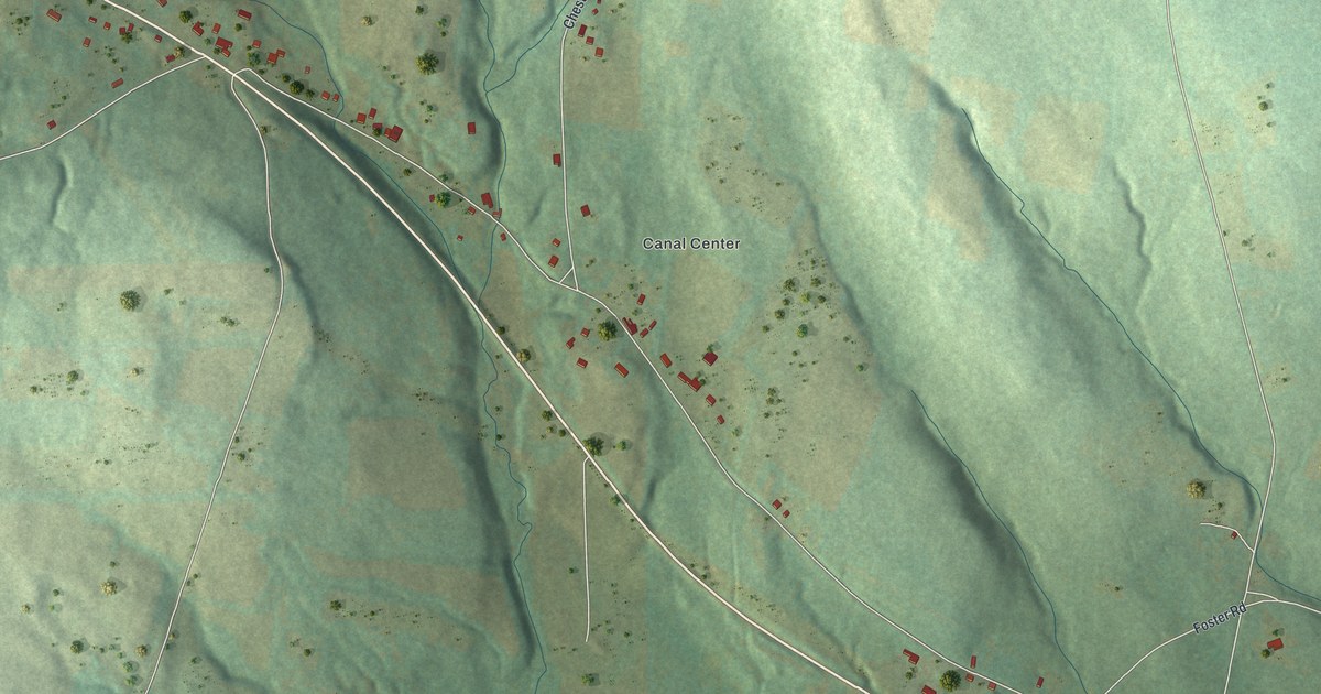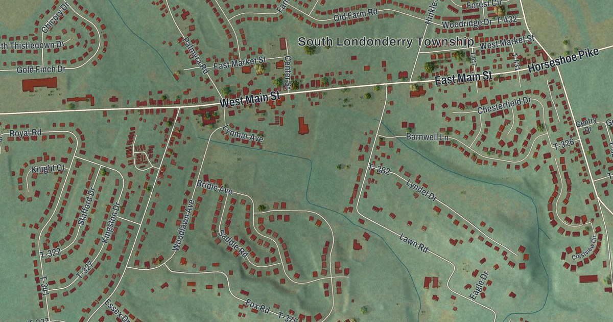
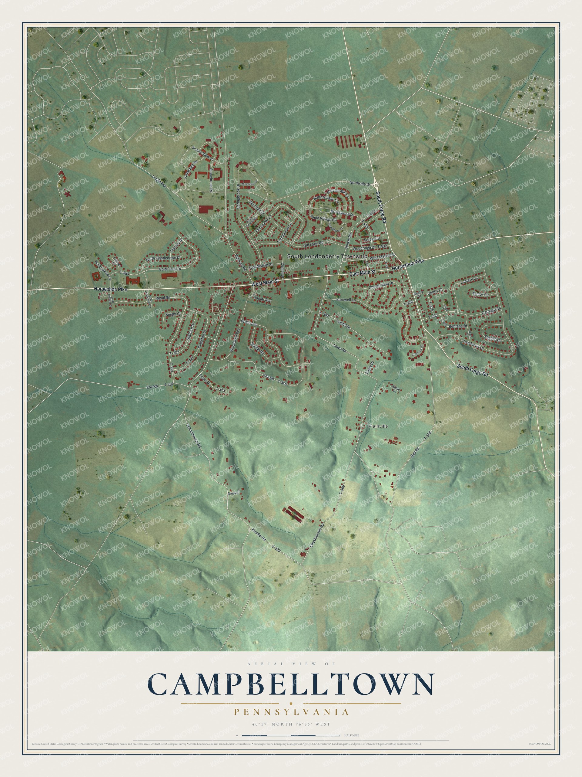
This beautifully detailed map of Campbelltown, Pennsylvania was created in 2026 using aerial imagery combined with modern topographical, census, street and landmark data. It's a modern aerial view of Campbelltown in Lebanon County, Pennsylvania, that combines modern data with a vintage aesthetic. The roads feature printed names, and if you look closely you can find your exact house accurately shown in its correct location.
Explore an aerial view of Campbelltown, Pennsylvania
On this map you'll find South Londonderry Township, Plainville, South Forge Road, Horseshoe Pike, East Main Street, West Main Street, Northside Drive, T-333, Palmyra Road, T-325, Brookwood Drive, Lawn Road, and more. Each red shape is a building, so zoom in on the preview and look for yours.
Campbelltown is a community in Lebanon County. The Census Bureau counted 5,922 people here in 2020. Campbelltown sits about 2 miles south of Palmyra, 3 miles southeast of Palmdale and 3 miles east of Hershey. The map prints the town name in its title panel, with the coordinates below it.
Take a closer look at the Campbelltown map
Names on this map
These names are printed on this map.
Places: South Londonderry Township and Plainville.
Streets and roads: South Forge Road, Horseshoe Pike, East Main Street, West Main Street, Northside Drive, T-333, Palmyra Road, T-325, Brookwood Drive, Lawn Road, Schoolhouse Road, Bell Road.
More street names, A to Z
Barnside Drive, Barnwell Lane, Behrens Drive, Bridle Avenue, Brook Lane, Carriage Court, Carriage Road, Center Street, Chesterfield Drive, Chestnut Hill Road, Chicory Drive, Coachman Lane, Crestview Circle, Eagle Drive, East Market Street, Eby Road, English Drive, Essex Drive, Farmhouse Lane, Farmshed Road, Fencepost Lane, Forest Circle, Fox Road, Gentry Court, Gentry Drive, Gold Finch Drive, Harvest Mill Lane, Hinkle Road, Kingston Drive, Knight Court, Kreider Road, Lantern Lane, Lingle Avenue, Lyndel Drive, Lynmar Avenue, Manor Circle, North Larkspur Drive, North Thistledown Drive, North Village Circle, Old Farm Road, Royal Road, Saddle Road, Scenic View Lane, South Larkspur Drive, South Thistledown Drive, South Village Circle, Springbrook Drive, Springhaven Court, Squire Lane, Stafford Drive, Stonebrook Drive, Stone Harvest Way, Stone Lane, T-306, T-308, T-322, T-326, T-327, T-337, T-341, T-373, T-375, T- 382, T-384, T-430, T-431, T-432, T-433, T-436, T-438, T-617, Trillium Drive, West Market Street, Windemere Drive, Woodlawn Avenue, Woodridge Drive.
See it on a wall
The Campbelltown map as a framed print. Swipe for more.


Created by KNOWOL in 2026. The buildings are small red shapes, the roads carry their printed names, and shaded relief shows the shape of the land. The title panel reads "AERIAL VIEW OF CAMPBELLTOWN, PENNSYLVANIA" with 40°17' NORTH 76°35' WEST.
It looks right in a kitchen, an office or a den, and it's a gift for anyone who grew up in Campbelltown or moved away. Open the preview and find your street. See sizes and frames for the Campbelltown map.