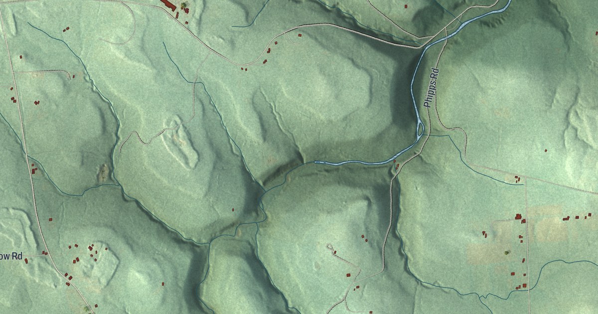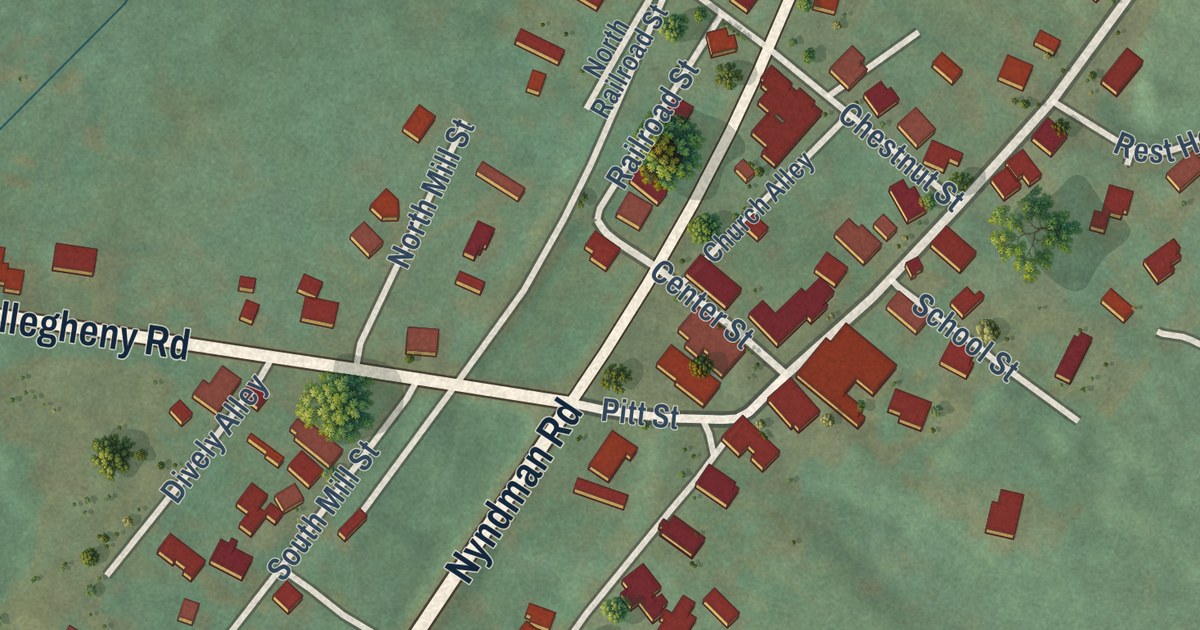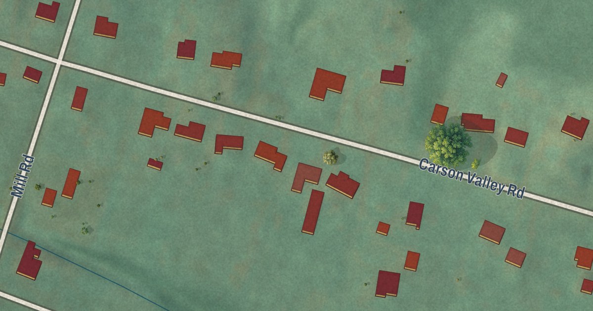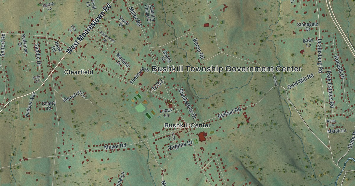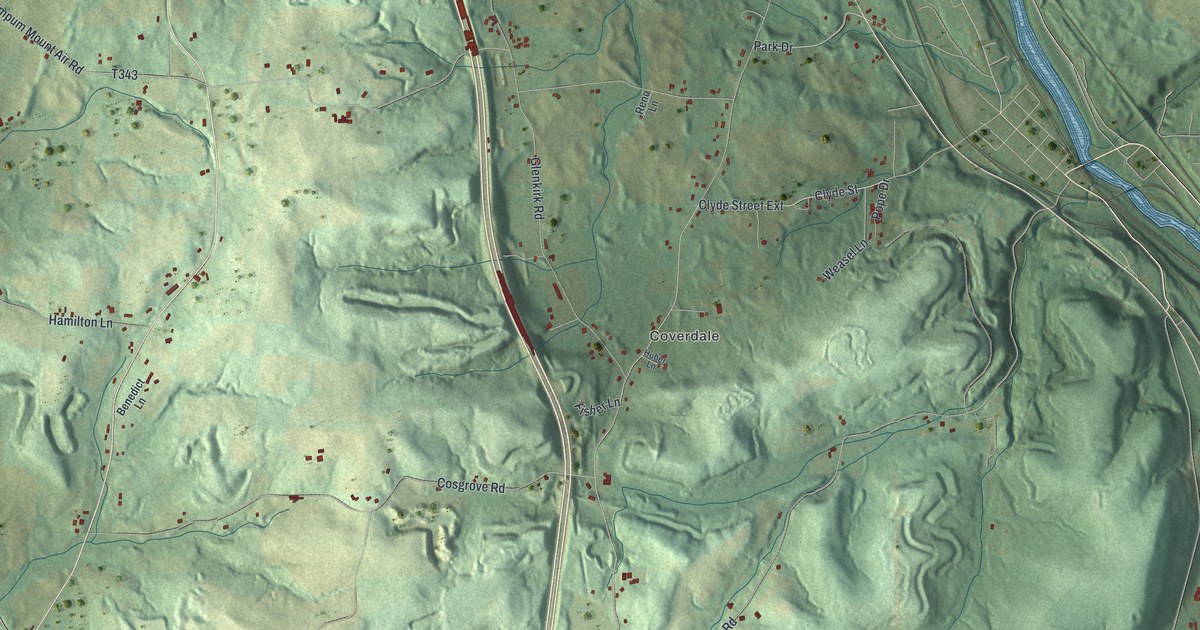
This beautifully detailed map of New Beaver, Pennsylvania was created in 2026 using aerial imagery combined with modern topographical, census, street and landmark data. It’s a one-of-a-kind view of New Beaver that combines accurate data with a vintage aesthetic. The map shows every building in its true location, many of the roads carry their names, and the shaded topographic relief shows the shape of the land.
Explore an aerial view of New Beaver, Pennsylvania
On the map you’ll find Possum Hollow, Newport, Coverdale, and Clyde Street Extension, along with Possum Hollow Road, Pleasant Valley Road, Pendale Road, Larchwood Drive, Edwards Road, Wampum New Galilee Road, Mallory Road, and more. If you look closely you can even find your house accurately drawn in its correct location. Zoom in on the preview to look for yours.
Did you know this piece of New Beaver, Pennsylvania history?
New Beaver began as Big Beaver Township, set up when Lawrence County was formed in 1849. After Wampum annexed the township’s cement plant, Ellwood City began to eye land nearby too. To stop more annexation, the trustees chose in 1958 to become a borough. The charter for New Beaver was signed on November 18, 1959.
Take a closer look at the New Beaver map
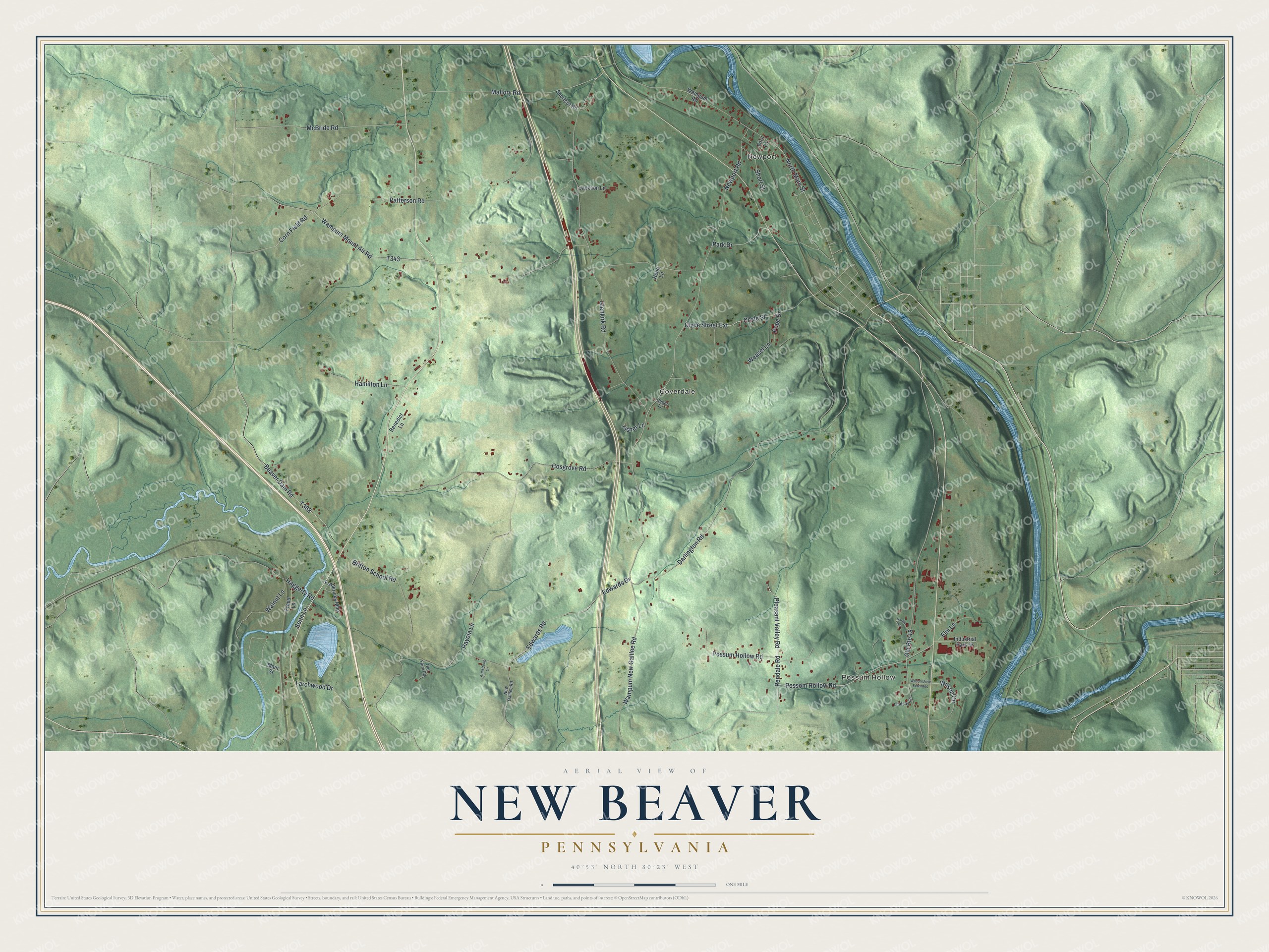
Street and place names on the New Beaver, Pennsylvania map
These names are printed on the map of New Beaver, Pennsylvania.
Places: Possum Hollow, Newport and Coverdale.
Streets and roads: Possum Hollow Road, Pleasant Valley Road, Pendale Road, Larchwood Drive, Edwards Road, Clyde Street Extension, Wampum New Galilee Road, Mallory Road, North Main Street, Wampum Mount Air Road, Old Route 18, Patterson Road.
More street names, A to Z
Armstrong Lane, Beaver Dam Road, Benedict Lane, Britton School Road, Clyde Street, Corn Field Road, Cosgrove Road, Darlington Road, Edwards Drive, Elm Lane, Fisher Lane, Fredericks Mhp, Freed Lane, Glenkirk Road, Haggerty Road, Hamilton Lane, Hardy Lane, Huber Lane, Industrial Park Drive, Jackson Lane, Lindsay Lane, Main Street, McBride Road, New Galilee Road, Newport Road, Old Farm Road, Park Drive, Pope Drive, Possom Hollow Road, Rayola Lane, Reno Lane, Senn Lane, Shortcut Road, Short Street, Vitril Lane, Walnut Lane, Wampum Road, Weasel Lane, Wilson Circle, Wilson Drive Extended.
See the New Beaver, Pennsylvania map on a wall
The New Beaver map as an 18 x 24 inch print in a black frame.

This beautifully detailed map of New Beaver makes an attractive addition to your office, library, or den, and it can even be used to teach children the geography and history of the area. It also makes a great gift for someone who left New Beaver and still calls it home. When you’re done exploring, click here to get your copy of the New Beaver map.