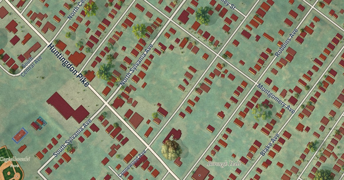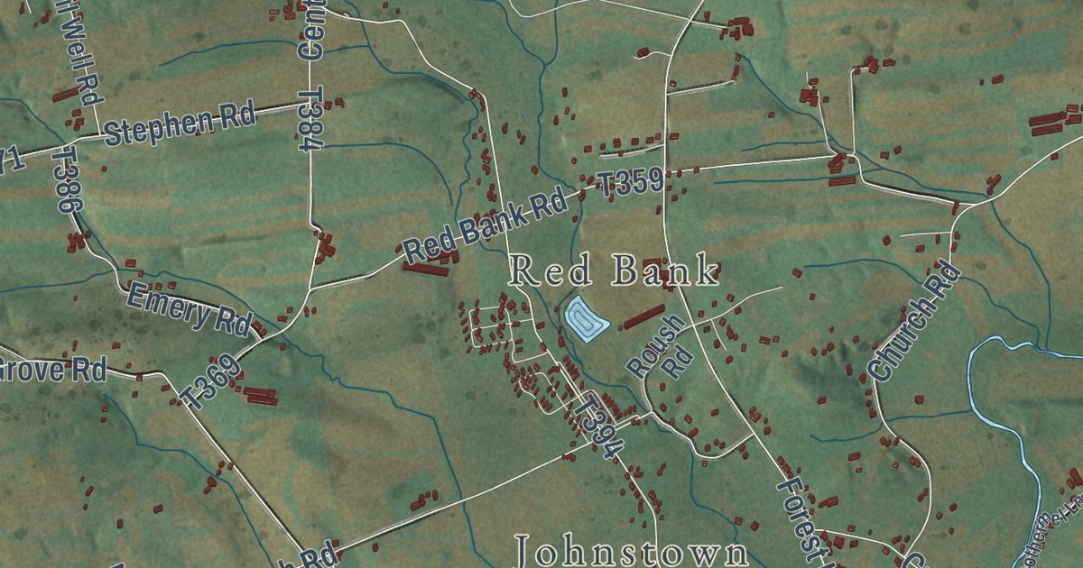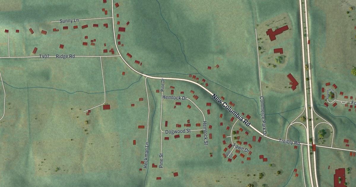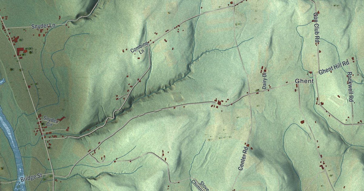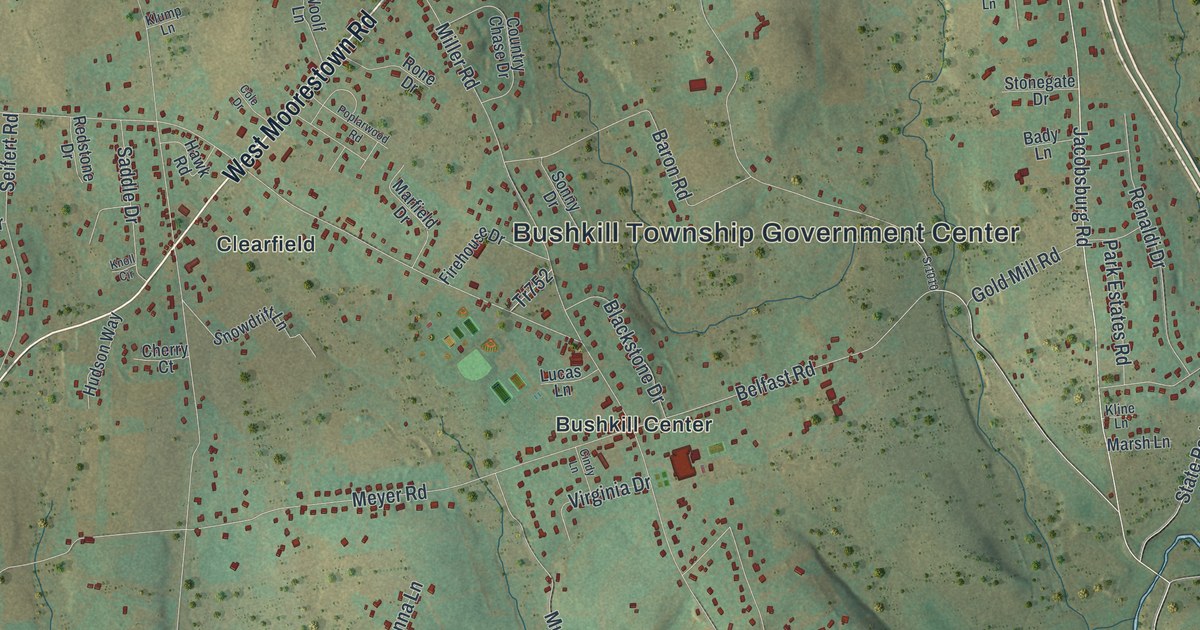
This beautifully detailed map of Bushkill, Pennsylvania was created in 2026 using aerial imagery combined with modern topographical, census, street and landmark data. It’s a one-of-a-kind view of Bushkill that combines accurate data with a vintage aesthetic. The map shows every building in its true location, many of the roads carry their names, and the shaded topographic relief shows the shape of the land.
Explore an aerial view of Bushkill, Pennsylvania
On the map you’ll find Bushkill Township Government Center, Ballas Meadow Preserve, Aluta, Boulton, Bushkill Center, Cherry Hill, Clearfield, Filetown, Haynes Mill, Katellen, Knechts, Rismiller, and more. If you look closely you can even find your house accurately drawn in its correct location. Zoom in on the preview to look for yours.
Did you know this piece of Bushkill, Pennsylvania history?
From Bushkill Township: "In 1972, the Jacobsburg Historical Society was formed to guide and oversee the historic preservation and public use of the Henry Homestead (now the Pennsylvania Longrifle Museum), Henry Gun Factory remains, and the John Joseph Henry House, located in the southeastern portion of the Township."
Take a closer look at the Bushkill map
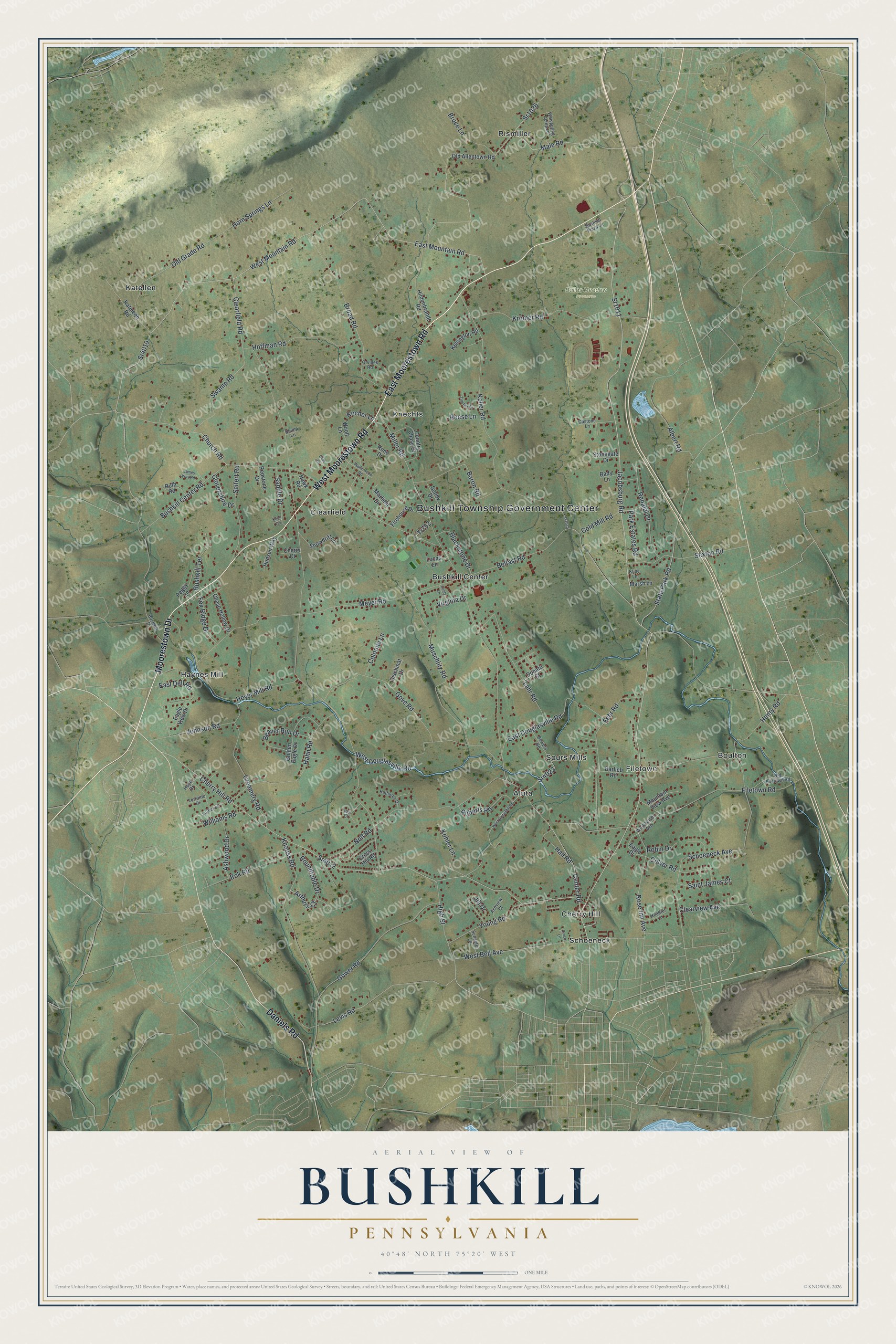
Street and place names on the Bushkill, Pennsylvania map
These names are printed on the map of Bushkill, Pennsylvania.
Places: Bushkill Township Government Center, Ballas Meadow Preserve, Aluta, Boulton, Bushkill Center, Cherry Hill, Clearfield, Filetown, Haynes Mill, Katellen, Knechts, Rismiller, Schoeneck and Sours Mills.
Streets and roads: East Moorestown Road, West Moorestown Road, Moorestown Drive, Daniels Road, Sr1011, Sr1026, Jacobsburg Road, Center Road, Levis Road, West Mountain Road, Cherry Hill Road, Sr4019.
More street names, A to Z
Albert Road, Arthurs Court, Ashview Court, Ashwood Drive, Bady Lane, Barlieb Road, Baron Road, Beaver Run Drive, Belfast Road, Blackstone Drive, Bok Road, Bowers Road, Broad Road, Bruce Lane, Bushkill Center Road, Bushkill Drive, Bushkill Plaza Lane, Bushkill Terrace, Castone Lane, Chase Hollow Drive, Cherry Court, Church Road, Cindy Lane, Clearfield Road, Clearview Avenue, Clovershire Drive, Cole Drive, Colonna Lane, Colver Road, Country Chase Drive, Creamery Road, Cross Hill Road, Dischinat Drive, Donato Court, Eagle Drive, Eagle View Drive, East Dell Road, East Douglasville Road, East Mountain Road, Fehr Road, Filetown Road, Firehouse Drive, Fox Ridge Drive, Golden Eagle Drive, Gold Mill Road, Gove Road, Gower Road, Hahn Road, Hall Road, Hawk Road, Heather Lane, Henry Road, Heyer Mill Road, High Street, Hildenbrandt Road, Hoffman Road, Hope Drive, Horn Springs Lane, Hudson Way, James Way Road, Jill Drive, Johnson Road, Joy Court, Kateleen Road, Kathleen Drive, Keller Road, Kellington Road, Kline Lane, Klump Lane, Knauss Road, Knoll Circle, Kocher Lane, Kohler Lane, Krock Lane, Kromer Road, Lahr Road, Lorraine Drive, Lucas Lane, Luther Lane, Male Road, Marfield Drive, Marsh Lane, Meyer Road, Miller Road, Mountain View Avenue, Muschlitz Road, Nolf Road, Old Allentown Road, Old Filetown Road, Old Grade Road, Orvilles Road, Park Estates Road, Peggy Lane, Poplarwood Road, Redstone Drive, Reese Lane, Renaldi Drive, Roberts Road, Robin Drive, Rone Drive, Rose Inn Avenue, Roundtable Drive, Ruth Road, Saddle Drive, Saint James Court, Schaefer Lane, Schoeneck Avenue, Seifert Road, Sexton Road, Snowdrift Lane, Sonny Drive, Sr1010, Sr4012, Sr4023, State Park Road, Stonegate Drive, Swamp Road, Tr752, Virginia Drive, Werkheiser Avenue, West Aluta Mill Road, West Beil Avenue, West Douglasville Road, Whispering Acres Lane, Williams Road, Woolf Lane, Young Road, Zimmer Court.
See the Bushkill, Pennsylvania map on a wall
The Bushkill map as an 18 x 24 inch print in a black frame.

This beautifully detailed map of Bushkill makes an attractive addition to your office, library, or den, and it can even be used to teach children the geography and history of the area. It also makes a great gift for anyone with Bushkill roots. When you’re done exploring, click here to get your copy of the Bushkill map.