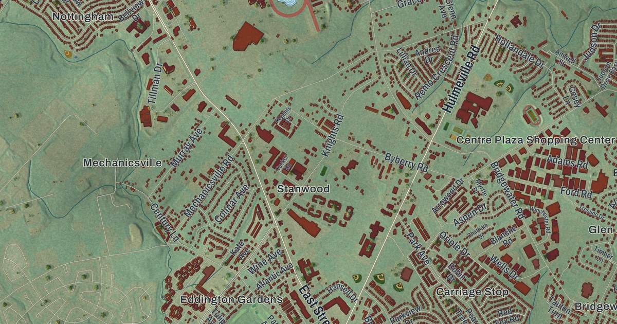
If you grew up in Bensalem, or still have family off Bristol Pike or Hulmeville Road, this map gives you plenty to find. It's a modern aerial view of Bensalem Township in Bucks County, Pennsylvania, built from modern data with a vintage look. More than 37,000 buildings are drawn in deep red on soft green hills. Neshaminy Creek curls around the top and the right side, though it isn't labeled. The Delaware River runs along the bottom, from Torresdale Manor over to Neshaminy State Park. Explore the print options for Bensalem.
From Centre Plaza down Hulmeville Road to Bristol Pike
Start at Centre Plaza Shopping Center, near the middle of the map. Hulmeville Road runs right past it. Follow Hulmeville Road south, past Eddington Park and Yezzi Park, until it meets Bristol Pike near the bottom. Eddington is printed close by. Turn southwest on Bristol Pike and you'll reach Kearney, Andalusia and Cornwell in the lower left. Below the pike, State Road runs closer to the river, past Echo Beach and Torresdale Manor. Now go back to Centre Plaza and take Galloway Road north. It climbs past King David Cemetery to Bristol Road. Over on the right side, Bensalem Boulevard runs past Bridgewater, Glen Ashton Farms and Flushing. Up in the top left, Trevose and La Trappe sit near Old Lincoln Highway. Many of the roads are labeled, and each red shape is a building, so zoom in on the preview and look for yours.
An 1876 history of Bucks County tells how Eddington got its name. Richard Gibbs was born in Wiltshire, England, in 1723. As a younger son, he was meant for a life at sea, but he didn't like it. When his ship reached Philadelphia around 1746, he left it. A Bensalem farmer named Stevens gave him a ride home in his market wagon. The deal was a school for Gibbs to teach. Later he worked as a clerk in the county office at Trevose, and then he was elected sheriff. In 1770 he bought a farm on the Bristol turnpike. He named it Eddington, after a place in Wiltshire where Alfred the Great beat the Danes. During the Revolution he lent Congress a large sum it couldn't pay back. British troops came to his house so often that he had to leave for the upper end of the county. He lived at Eddington until he died in 1798.
The same book explains two more names on this map. Joseph Growden, a Quaker, called his home Trevose, after a homestead in England. The book puts his house near the Neshaminy, on the north side of his land. Today the name Trevose is printed in the top left corner. William Rodman's family farm on the Neshaminy was first called Rodmanda. It was renamed Flushing, for the place on Long Island where William was born. The book says he once stuck his buttonwood riding switch in the ground beside a spring. By the time the book was written, it had grown into a tree thirty feet around. The author even guessed at the township's name. He thought Ben meant a hill and Salem meant peace, but he admitted it was only a theory. Find Flushing on the right side of the map, just off Bensalem Boulevard.
For anyone from Eddington, Trevose or Cornwells Manor
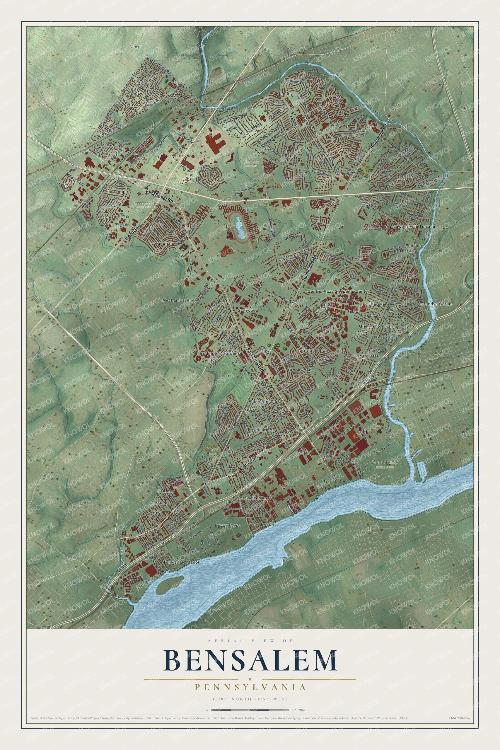
Created by KNOWOL in 2026, this Bensalem map shows the township between the creek and the river, with its buildings in deep red. The green hill shading comes from USGS elevation data, and the Delaware is drawn in pale blue. The title panel reads "Aerial View of Bensalem, Pennsylvania," with the coordinates 40°07' North, 74°57' West and a one-mile scale bar.
It suits a family room, a home office or a den. It's a good gift for someone who grew up in Bensalem and moved away, or for a family that's lived near Bristol Pike for years. Open the preview, zoom in near Eddington or Trevose, and find the street you know. Shop the Bensalem, Pennsylvania map.