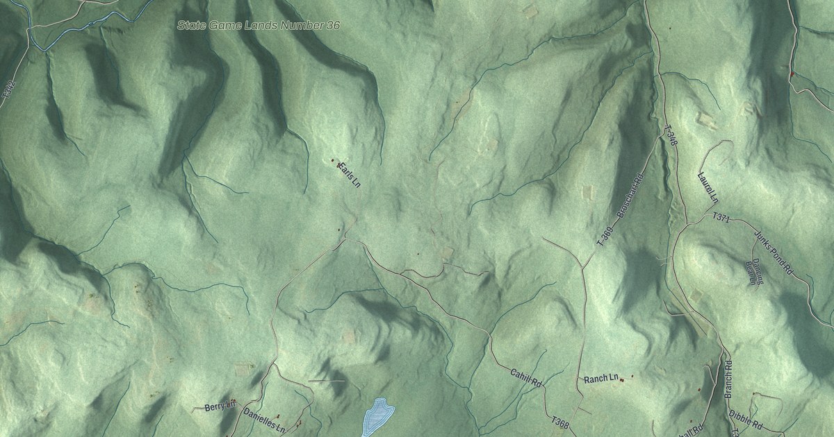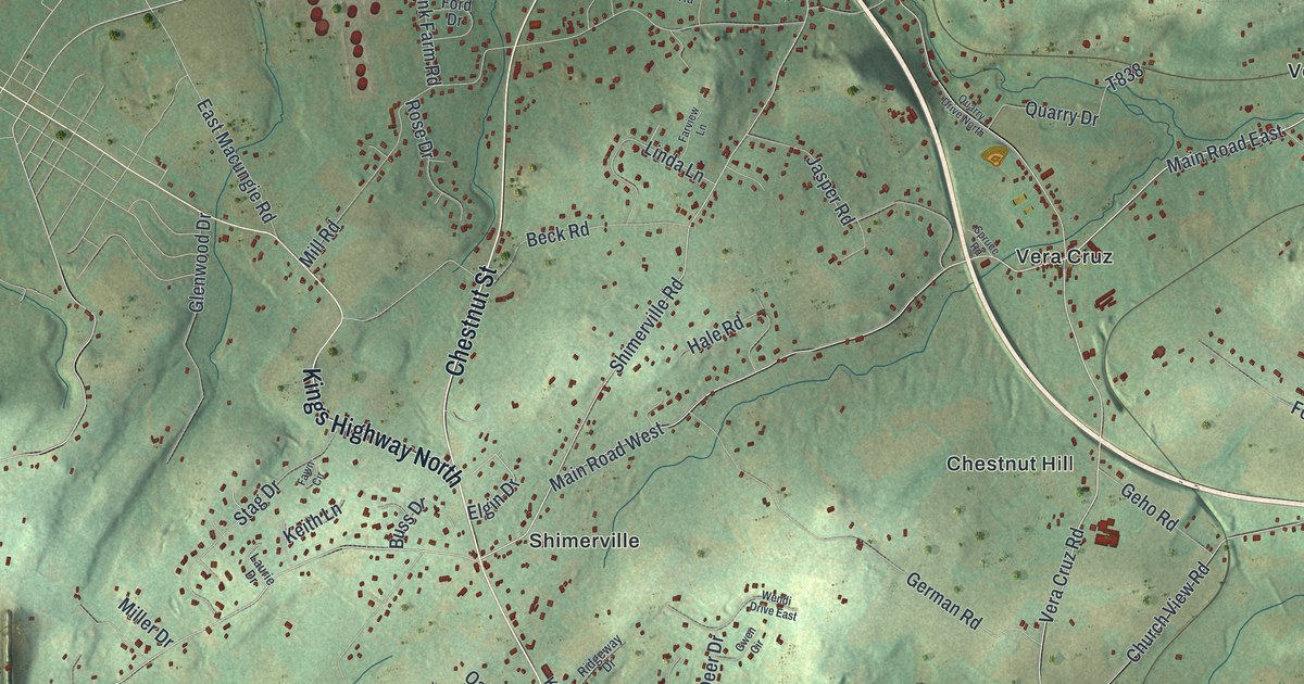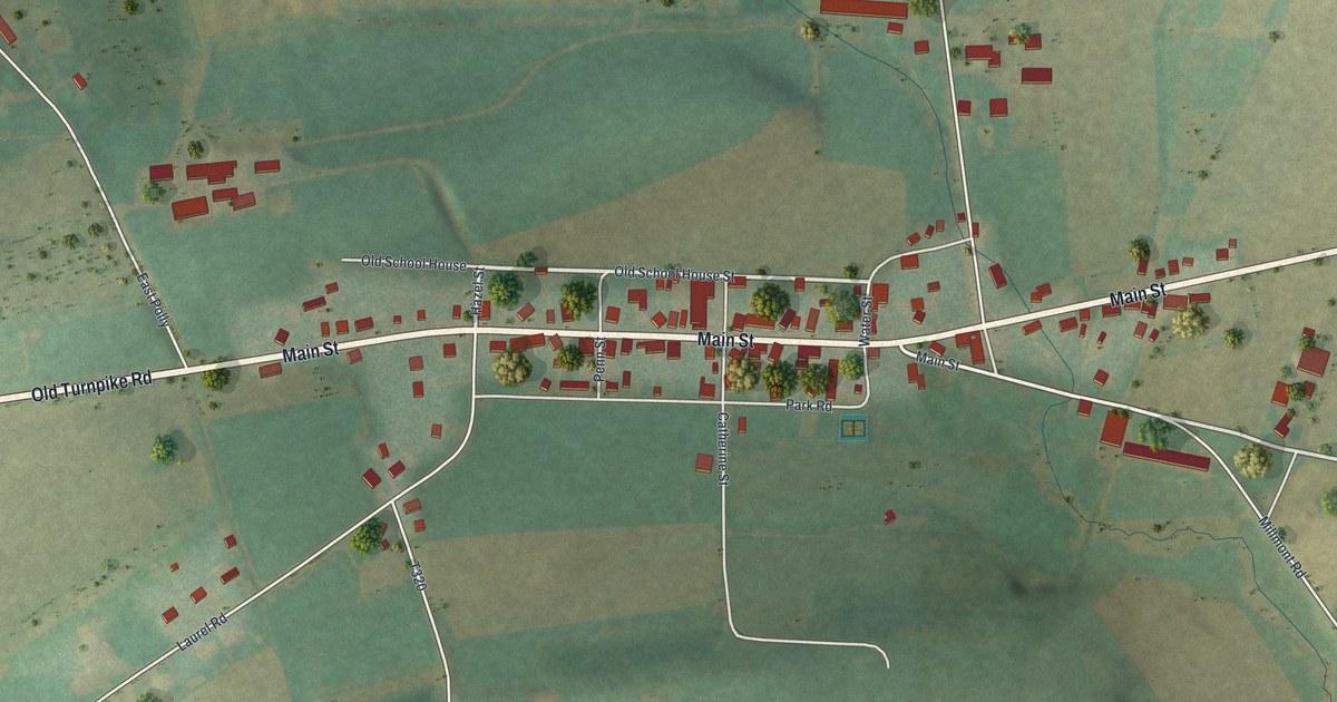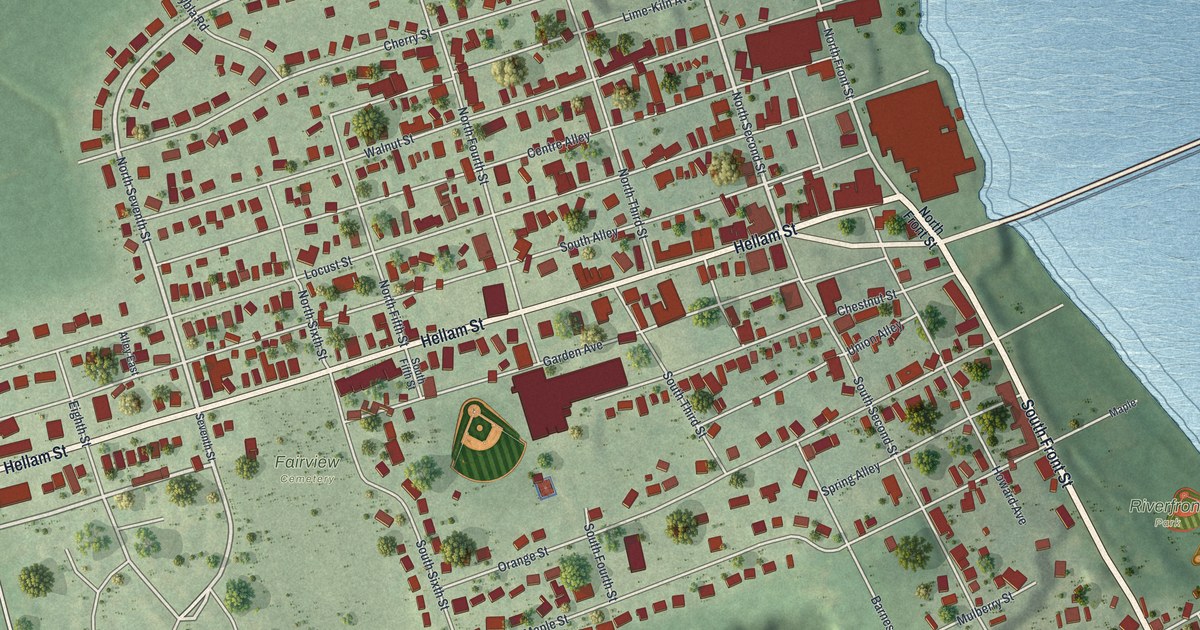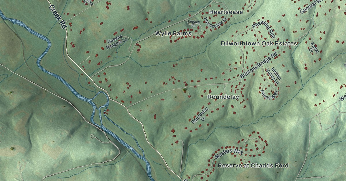
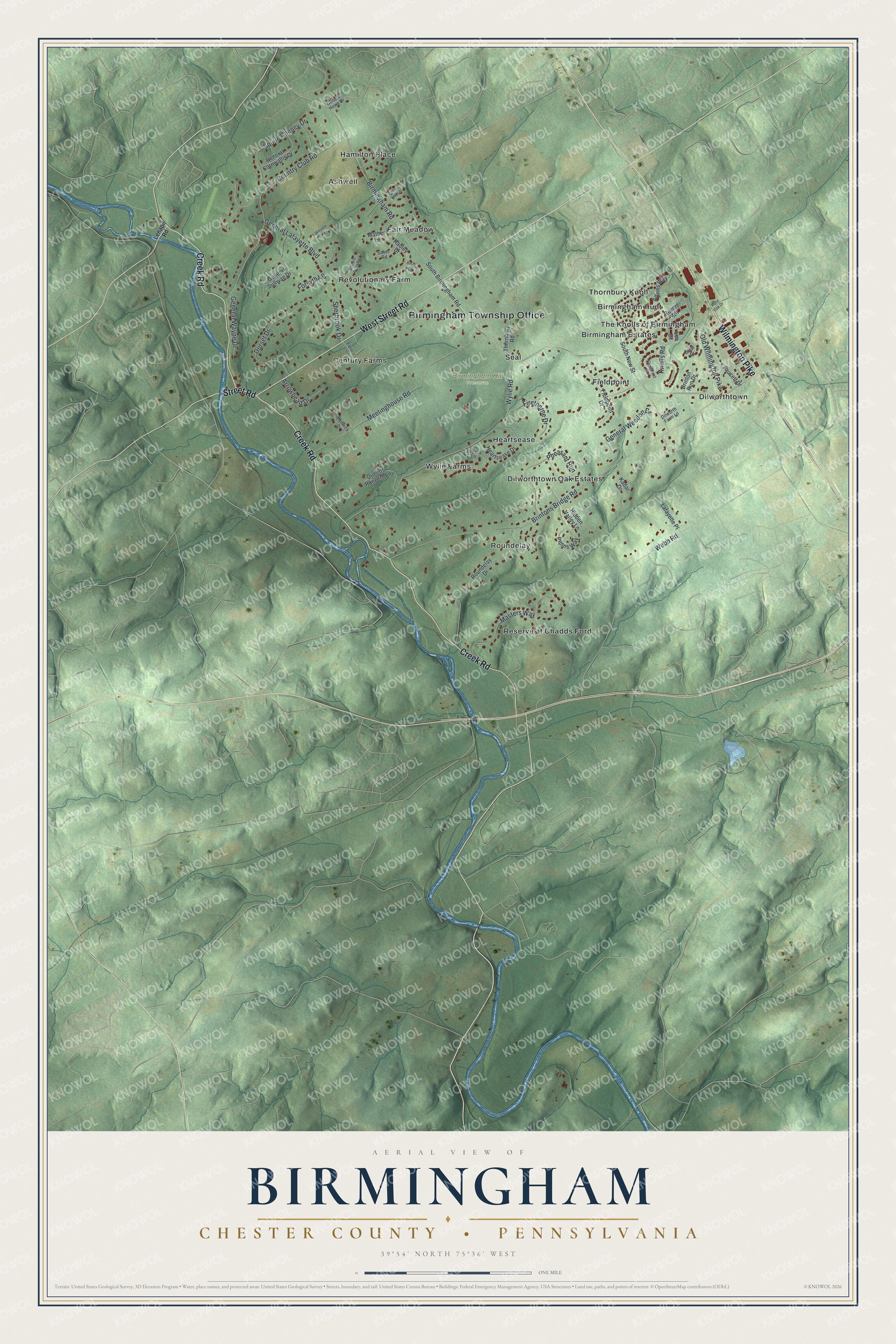
This beautifully detailed map of Birmingham, Chester County, Pennsylvania was created in 2026 using aerial imagery combined with modern topographical, census, street and landmark data. It’s a one-of-a-kind view of Birmingham that combines accurate data with a vintage aesthetic. The map shows every building in its true location, many of the roads carry their names, and the shaded topographic relief shows the shape of the land.
Explore an aerial view of Birmingham, Chester County, Pennsylvania
On the map you’ll find Birmingham Township Office, Birmingham Hill Preserve, Ashwell, Birmingham Estates, Birmingham Hunt, Century Farms, Dilworthtown, Dilworthtown Oak Estates, Fair Meadow, Fieldpoint, Hamilton Place, Heartsease, and more. If you look closely you can even find your house accurately drawn in its correct location. Zoom in on the preview to look for yours.
Take a closer look at the Birmingham, Chester County map
Street and place names on the Birmingham, Chester County, Pennsylvania map
These names are printed on the map of Birmingham, Chester County, Pennsylvania.
Places: Birmingham Township Office, Birmingham Hill Preserve, Ashwell, Birmingham Estates, Birmingham Hunt, Century Farms, Dilworthtown, Dilworthtown Oak Estates, Fair Meadow, Fieldpoint, Hamilton Place, Heartsease, Reserve at Chadds Ford, Revolutionary Farm, Roundelay, Seal, The Knolls of Birmingham, Thornbury Knoll and Wylie Farms.
Streets and roads: Creek Road, West Street Road, Wilmington Pike, Street Road, Birmingham Road, Brintons Bridge Road, Wylie Road, Country Club Road, Meetinghouse Road, General Lafayette Boulevard, Masters Way, Pheasant Run.
More street names, A to Z
Adams Way, Arrowhead Drive, Artillery Point Road, Bottom Lane, Brinton Run Drive, Cedar Mill Lane, Crescent Drive, Crest Drive, Dilworth Farm Lane, Dorset Drive, Eleni Lane, Faucett Drive, Fieldpoint Drive, Firethorne Drive, Forsyth Lane, General Cornwallis Drive, General Howe Drive, General Sullivan Drive, General Wayne Drive, General Weedon Drive, Heartsease Drive, Hidden Valley Lane, Kadar Drive, Knolls Road, Lafayette Place, Lakeview Drive, Lea Drive, Legacy Lane, Lenape Road, Mather Lane, Old Wilmington Pike, Penn Oak Drive, Penns Way, Queens Rangers Lane, Radley Drive, Renwick Drive, Revere Road, Roundelay Drive, Saber Road, Sherbrook Drive, South Birmingham Road, South New Street, Squire Cheney Drive, Thornbury Road, Webb Road.
See the Birmingham, Chester County, Pennsylvania map on a wall
The Birmingham, Chester County map as an 18 x 24 inch print in a black frame.

This beautifully detailed map of Birmingham, Chester County makes an attractive addition to your office, library, or den, and it can even be used to teach children the geography and history of the area. It also makes a great gift for someone who left Birmingham and still calls it home. When you’re done exploring, click here to get your copy of the Birmingham, Chester County map.