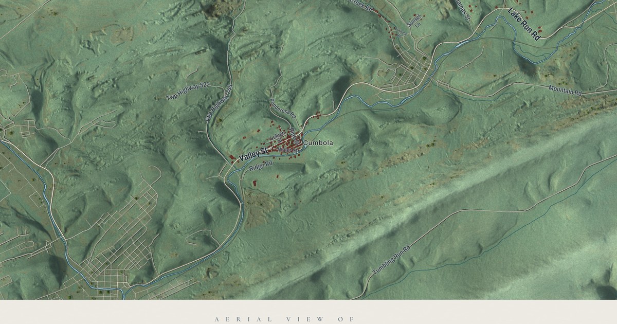
If you grew up in Cumbola, Kaska or Silver Creek, or your family worked the coal around them, this map shows the hills you know. It's a modern aerial view of Blythe Township in Schuylkill County, Pennsylvania, made from modern data and given a soft, vintage look. Green ridges run across the sheet from west to east, with the coal valley in between. Cumbola sits near the bottom middle, and Kaska is off to the right. Each small red shape is a building, and many of the roads are named. Explore the print options for Blythe.
Valley Street, Cumbola and Silver Creek
Start at Cumbola, near the bottom middle of the map, where the red buildings crowd along Valley Street. Ridge Road and Ponderosa Road sit close by. Now follow Valley Street north. It meets Pine Street near the center of the sheet, then Winfield Drive, and runs up to Union Street in the top right. Up there, Union Street is also printed as Ocean Road. Back near the center, Silver Creek sits on Silver Creek Road. Eagle Hill Road heads south from it toward Cumbola. Take New Philadelphia Road east from there to Kaska, where Oak Street branches off and Chestnut Street runs through the village. Lake Run Road is just south of it. In the top left, Skyline Drive runs down past State Game Lands Number 326. Burma Road starts in the top middle and heads south and west toward Skyline Drive. Blue ponds sit in the hills up top, though they aren't labeled. Zoom in on the preview and look for your road.
Blythe was set off from Schuylkill Township in 1846 and named for Judge Blythe. That's from the 1881 History of Schuylkill County. It says the first factory in the area was the Valley Furnace, near Silver Creek and just north of New Philadelphia. Before 1836, people kept trying to make iron with coal as the fuel. They kept failing. In 1836, F. W. Geissenhainer got it to work at the Valley Furnace, with help from Abraham Pott. The first blast failed, but the second one worked. That summer, Governor Ritner came to see it for himself.
A state marker stands on North Valley Street near Pine Street. It calls the Valley Furnace the first furnace to use only anthracite for fuel. The map doesn't mark the furnace, and New Philadelphia isn't labeled. But you can find Valley Street and Pine Street meeting near the center of the sheet. Coal was the other big story. The same history says the coal belt here was a place where many fortunes were made and lost. The first big mine was on the Mammoth vein at Silver Creek. One of its early operators, S. Chadwick, worked it some time after 1840.
For anyone from Cumbola, Kaska or Silver Creek
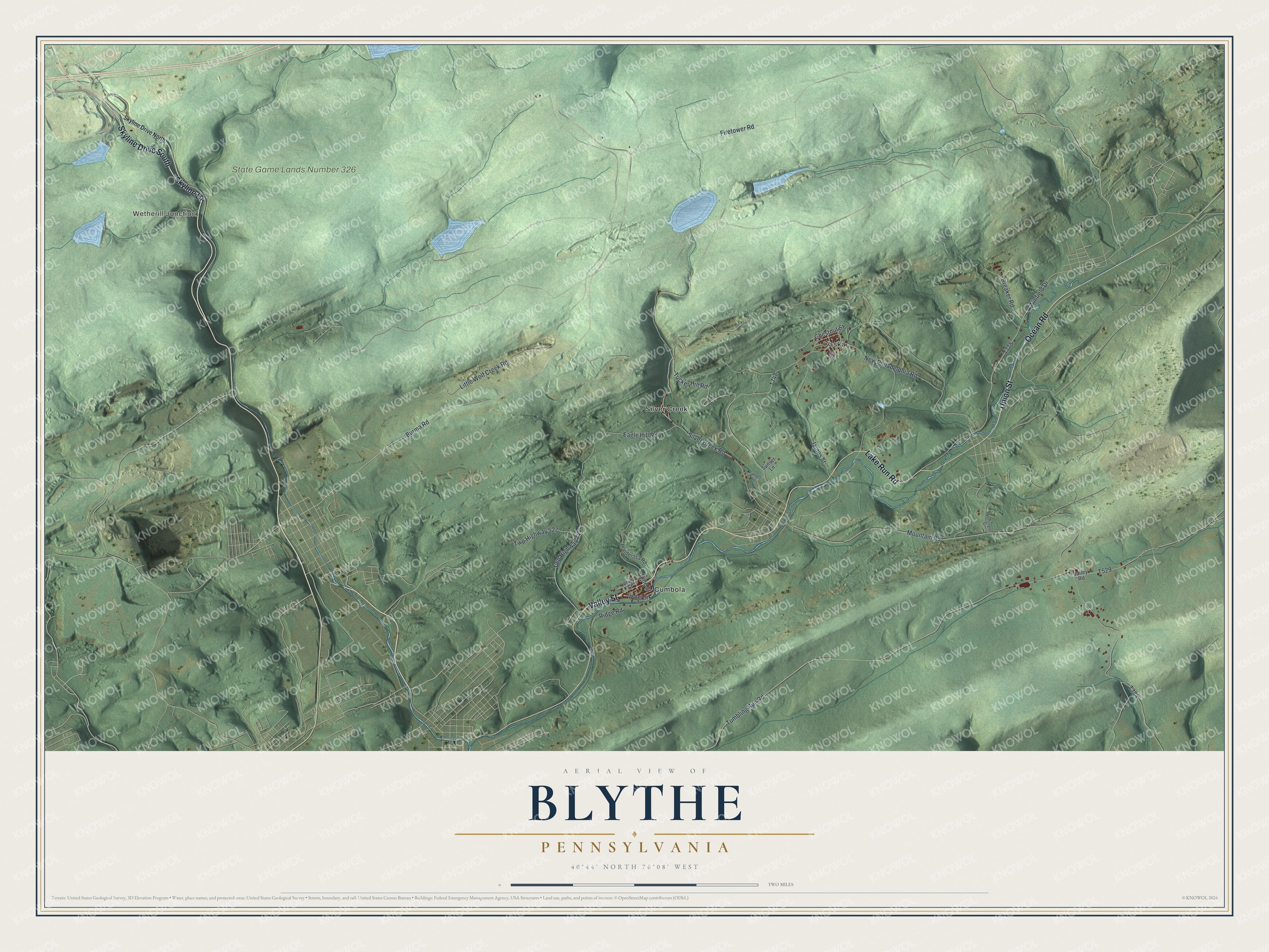
Created by KNOWOL in 2026, this Blythe map shows the ridges in shaded green, with the valley roads and red buildings running between them. The shaded hills come from USGS elevation data. The title panel reads "Aerial View of Blythe, Pennsylvania," with 40°44' North 76°08' West and a two-mile scale bar.
It suits a den, an office or a camp wall, anywhere a coal region family gathers. It's a good gift for someone who grew up along Valley Street and moved away. Open the preview, find Cumbola, and follow the road to your own house. Shop the Blythe, Pennsylvania map.