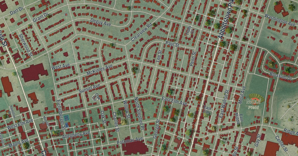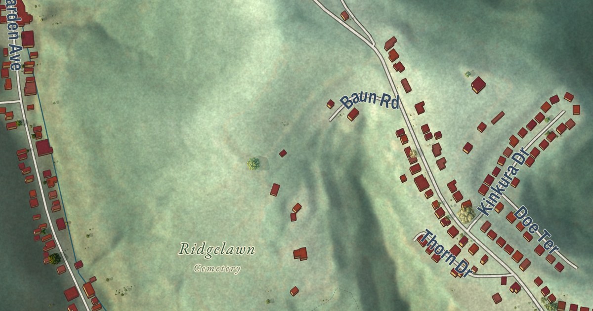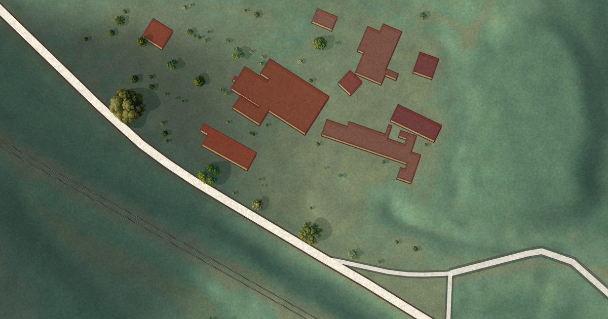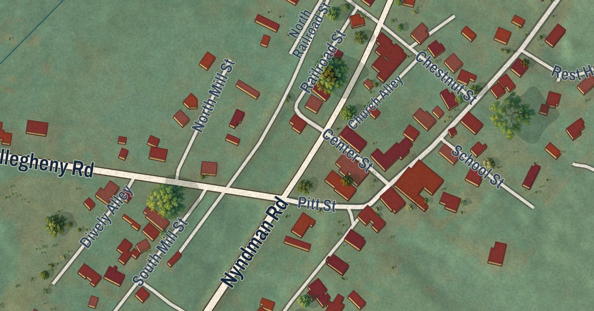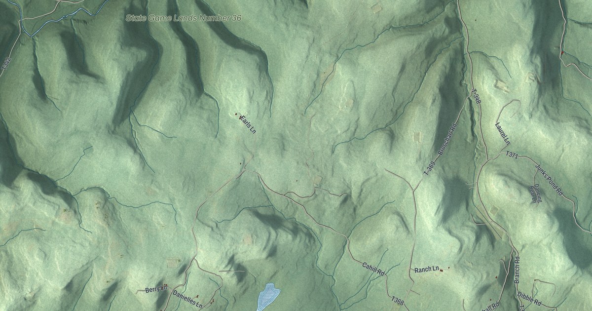
This beautifully detailed map of Overton, Pennsylvania was created in 2026 using aerial imagery combined with modern topographical, census, street and landmark data. It’s a one-of-a-kind view of Overton that combines accurate data with a vintage aesthetic. The map shows every building in its true location, many of the roads carry their names, and the shaded topographic relief shows the shape of the land.
Explore an aerial view of Overton, Pennsylvania
On the map you’ll find Quinlantown, Minerville, State Game Lands Number 12, State Game Lands Number 36, T-372, and Tr- 807, along with Overton Road, Bahl Road, Deep Hollow Road, Junks Pond Road, Dibble Road, and more. If you look closely you can even find your house accurately drawn in its correct location. Zoom in on the preview to look for yours.
Did you know this piece of Overton, Pennsylvania history?
From Bradford County: "The Township of Overton was created in 1853, and it was taken from Monroe Township, Albany Township, and Franklin Township. A year before the Township was established, it was laid out by Henry Sherman."
Take a closer look at the Overton map
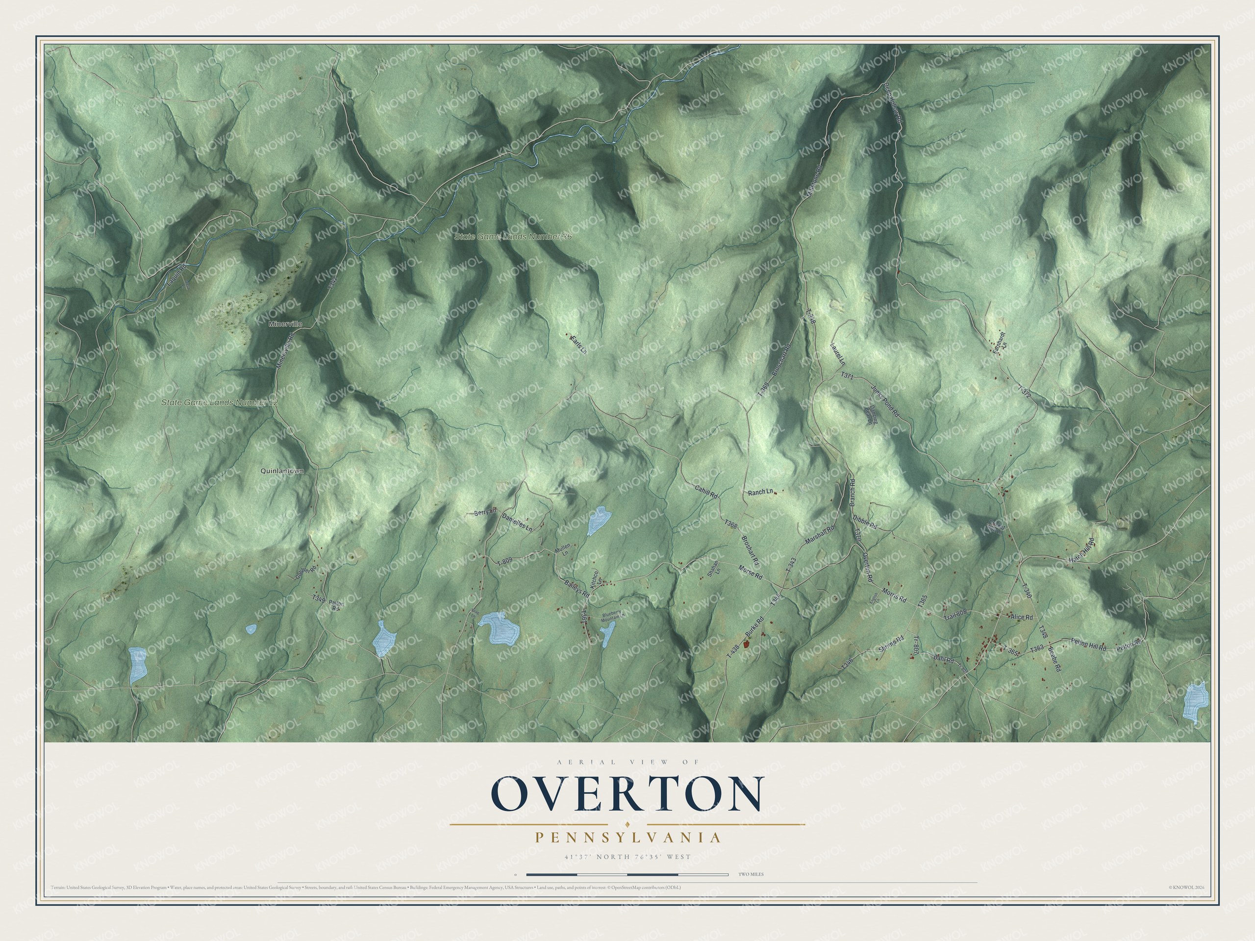
Street and place names on the Overton, Pennsylvania map
These names are printed on the map of Overton, Pennsylvania.
Places: Quinlantown, Minerville, State Game Lands Number 12 and State Game Lands Number 36.
Streets and roads: Overton Road, T-372, Bahl Road, Deep Hollow Road, Junks Pond Road, Dibble Road, Tr- 807, Hatch Hill Road, T-343, Burke Road, T-438, Baileys Road.
More street names, A to Z
Alice Road, Beebe Road, Berry Lane, Blueberry Mountain Lane, Branch Road, Broschart Road, Broshart Road, Cahill Road, Cricket Run Lane, Dancing Bear Lane, Danielles Lane, Earls Lane, Earnhardt Lane, English Lane, Gobbler Road, Greco Lane, Kitchco Lane, Laquin Road, Laurel Lane, Marshall Road, Millstone Road, Minersville Road, Morris Road, Morse Road, Mullen Lane, Patton Road, Pelton Hill Road, Pelton Road, Ranch Lane, Shahan Lane, Shrimp Road, Snag Lane, T-340, T-348, T-365, T-369, T-809, Tr-807, Trail 808.
See the Overton, Pennsylvania map on a wall
The Overton map as an 18 x 24 inch print in a black frame.

This beautifully detailed map of Overton makes an attractive addition to your office, library, or den, and it can even be used to teach children the geography and history of the area. It also makes a great gift for anyone with Overton roots. When you’re done exploring, click here to get your copy of the Overton map.