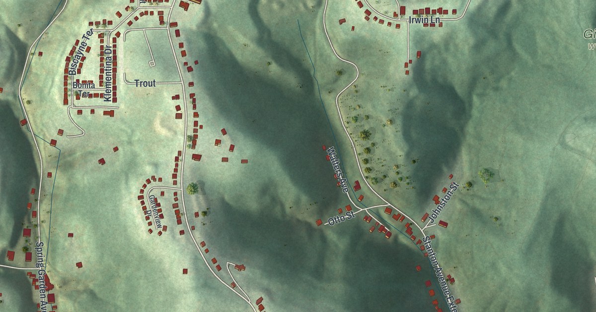
If you grew up along Mount Troy Road or Spring Garden Avenue, or still have family in Reserve, this map has plenty for you to find. It's a modern aerial view of Reserve Township in Allegheny County, Pennsylvania, made from modern data and given a soft, vintage look. The map shows wooded hills and deep hollows, and nearly 5,000 buildings are drawn in red. The busiest streets gather near the bottom of the sheet, and a wide blue river cuts across the lower right corner.
Mount Troy Road, Spring Garden Avenue and Ridgelawn Cemetery
Start near the top left, where Spring Garden Avenue and Mount Troy Road meet. Mount Troy Road runs down the middle of the sheet. Near the top, Geyer Road heads east. Just below it, Hoffman Road branches off toward Irwin Lane. Irwin Lane runs out toward Girty's Woods, printed right of center. Back on Mount Troy Road, head south past Klementina Drive and Kinkura Drive. Trout Drive branches off Klementina Drive.
Now go back to Spring Garden Avenue. It follows the valley down the left side, past Beech Street and Wilson Road. Ridgelawn Cemetery sits in the open ground between the two roads. Both roads end up near the bottom, in the busiest part of the map. Near the bottom, Edison Street meets Volta and Ohm Streets. Ohm Street also meets Tesla Street. All four streets sit close together near the bottom of the map. Pittview Avenue runs east from Mount Troy Road toward the river. Many of the roads are labeled, and each red shape is a building, so zoom in on the preview and look for yours.
Ridgelawn Cemetery and Girty's Woods
Ridgelawn Cemetery sits between Spring Garden Avenue and Mount Troy Road. Across Mount Troy Road, Irwin Lane runs toward Girty's Woods. The map shows buildings gathered along these roads, with wooded hills between them. Those hills are old news here. The township took its name from land the state set aside in 1783, across the rivers from Fort Pitt. The 1889 History of Allegheny County says a surveyor in 1788 found the tract full of "high hills, deep hollows." The township was formed in 1835 and given the name Reserve.
Near the bottom of the map, Edison Street meets Volta and Ohm Streets, and Ohm meets Tesla Street. All four names appear within a few blocks.
The shaded hills along Mount Troy Road
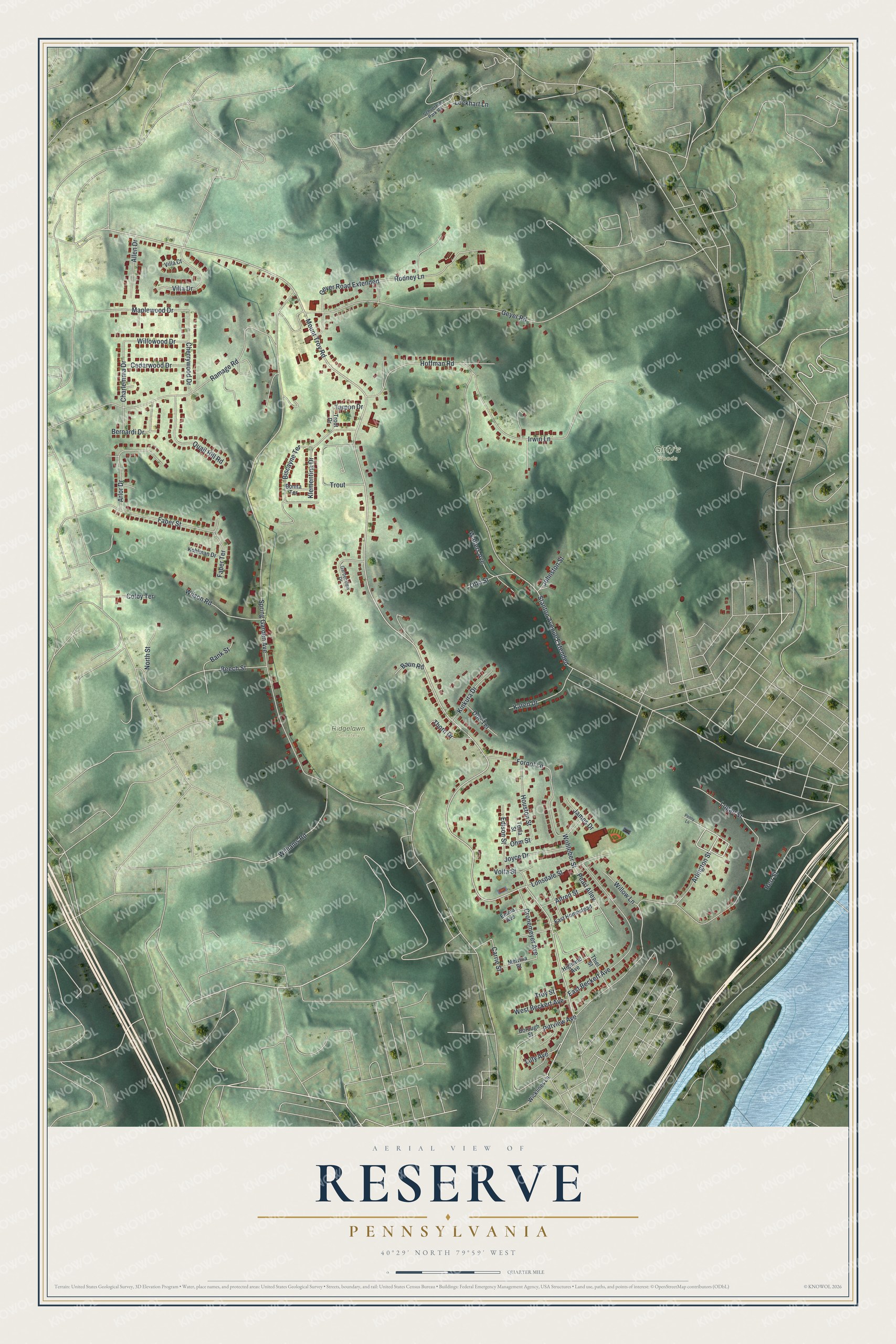
Created by KNOWOL in 2026, this Reserve map shows the hills in soft green shading from USGS elevation data, with winding roads in white and buildings in deep red. The title panel reads "Aerial View of Reserve, Pennsylvania," with the coordinates 40°29' North, 79°59' West and a quarter-mile scale bar.
It suits a kitchen, a den or a home office. It's a thoughtful gift for someone who grew up off Mount Troy Road and has since moved away. Open the preview, zoom in and find the street you know. See sizes and frames for the Reserve map.