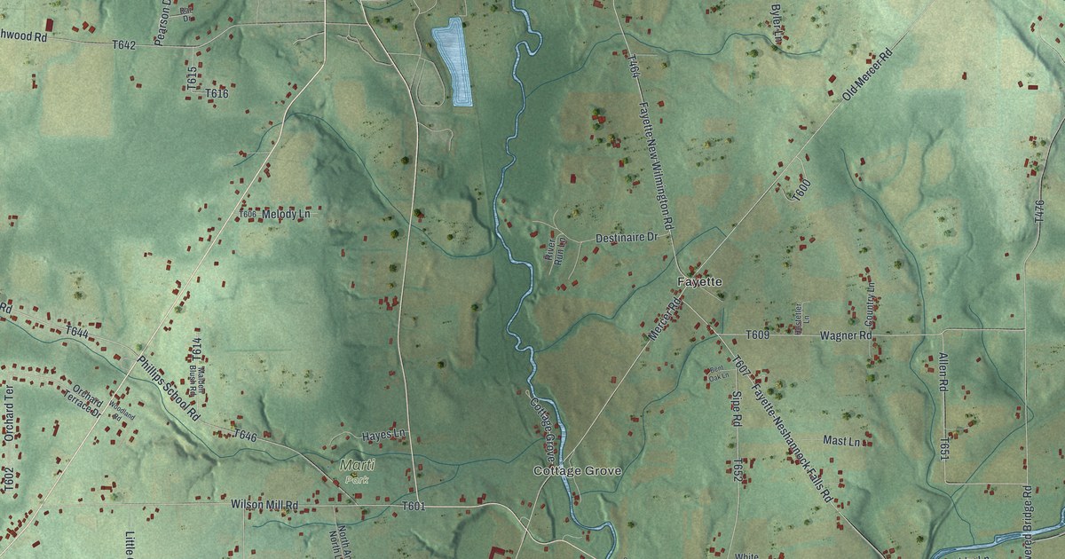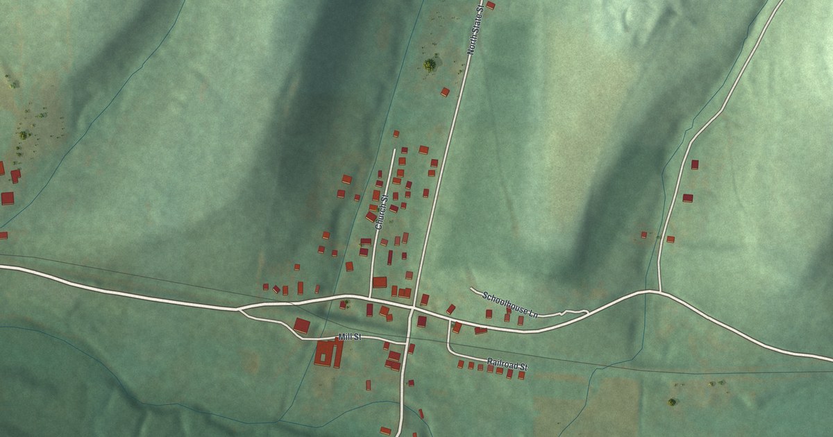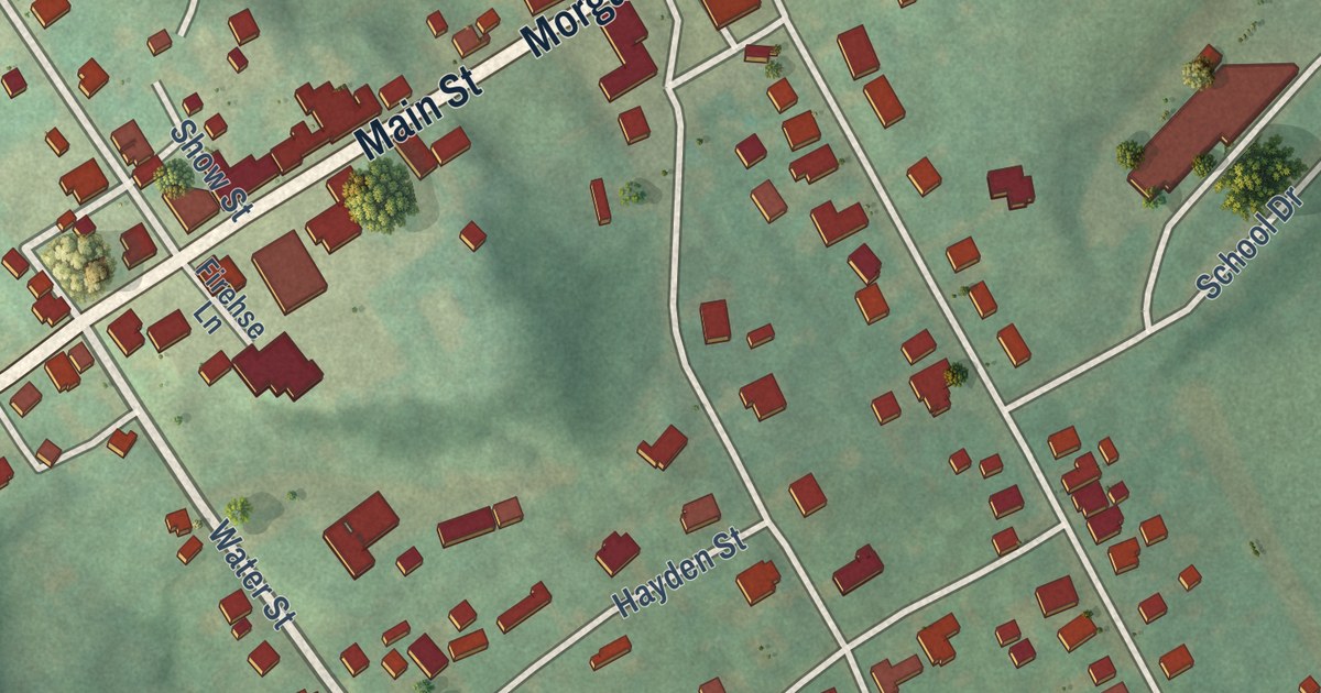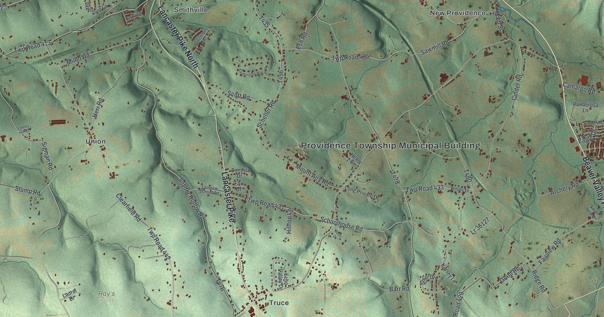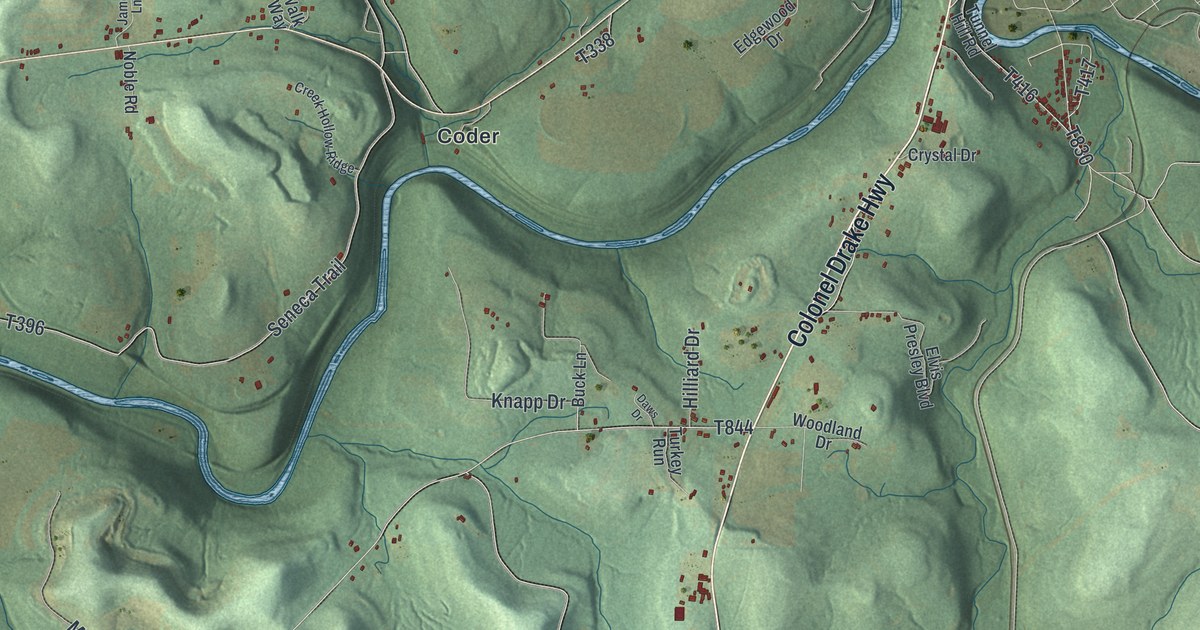
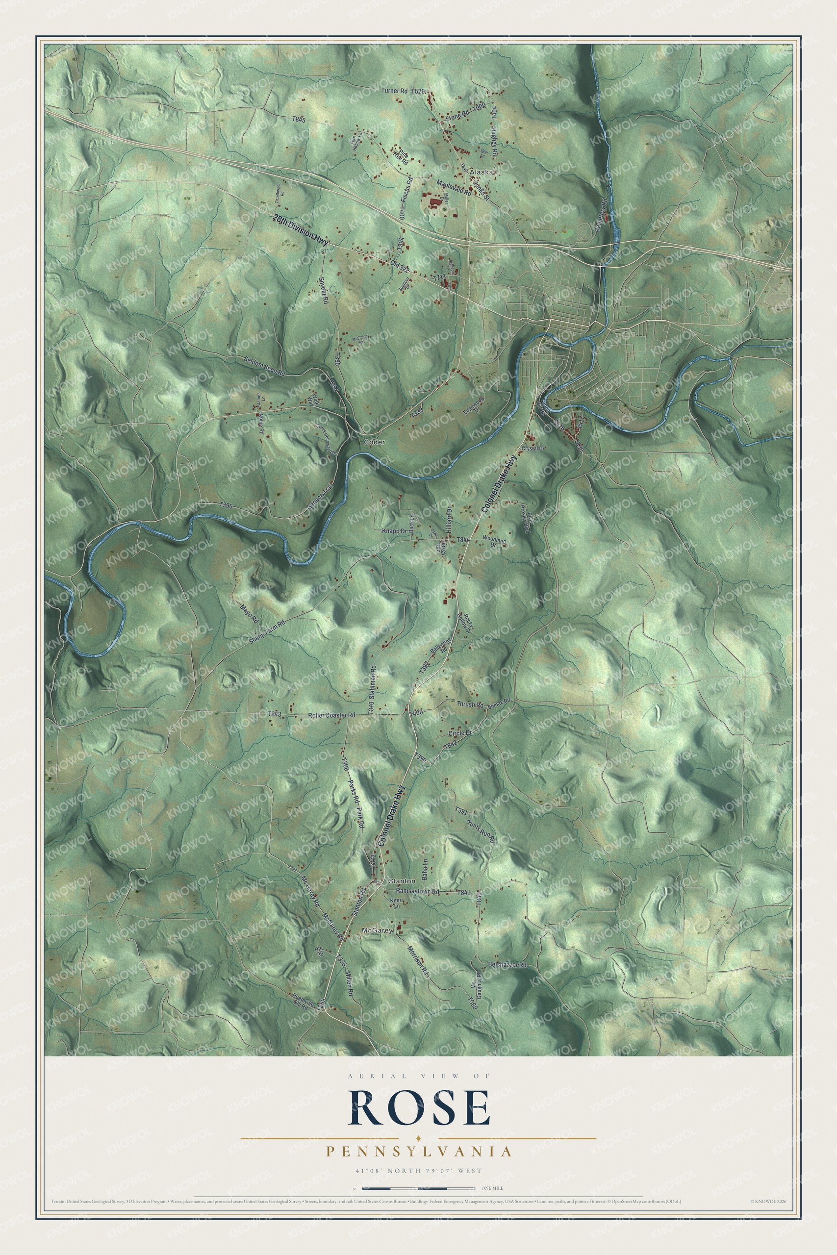
This beautifully detailed map of Rose, Pennsylvania was created in 2026 using aerial imagery combined with modern topographical, census, street and landmark data. It’s a one-of-a-kind view of Rose that combines accurate data with a vintage aesthetic. The map shows every building in its true location, many of the roads carry their names, and the shaded topographic relief shows the shape of the land.
Explore an aerial view of Rose, Pennsylvania
On the map you’ll find McGarey, Alaska, Stanton, and Coder, along with Colonel Drake Highway, 28th Division Highway, Mc Garey Road, Millen Road, Hunts Run Road, and more. If you look closely you can even find your house accurately drawn in its correct location. Zoom in on the preview to look for yours.
Did you know this piece of Rose, Pennsylvania history?
Rose Township was formed from Pine Creek in 1827, the fifth in Jefferson County. John Matson, who came from Ireland as a boy in 1786, made the earliest improvements there and built its first gristmill. His daughter Jane, born in 1806, was the first recorded birth in the township. That’s from the 1888 History of Jefferson County, Pennsylvania.
Take a closer look at the Rose map
Street and place names on the Rose, Pennsylvania map
These names are printed on the map of Rose, Pennsylvania.
Places: McGarey, Alaska, Stanton and Coder.
Streets and roads: Colonel Drake Highway, 28th Division Highway, Mc Garey Road, McGarey Road, Millen Road, Hunts Run Road, Ramsaytown Road, Morrison Road, Jenks Street, Thrush Road, Hughey Road, Sheep Farm Road.
More street names, A to Z
Baha Lane, Ballentine Road, Belshazzar Road, Buck Lane, Cemetery Road, Circle Drive, Creek Hollow Ridge, Crystal Drive, Daws Drive, Deer Lane, Edgewood Drive, Elvis Presley Boulevard, Fern Hollow Lane, Fiscus Road, Freedom Lane, Heathville Ohl Road, Hilliard Drive, James Lane, Knapp Drive, Knerr Lane, Maplevale Road, Mayo Road, McElhinny Avenue, Mc Gaughey Road, Miller Drive, Noble Road, Old 322, Park Road, Parks Road, Pine Tree Road, Rocky Hollow Drive, Roller Coaster Road, Route 36, Seldom Seen Road, Seneca Trail, Slimak Road, Snyder Road, Spencer Drive, Stahlman Road, Stanton Road, Stone Road, Tunnel Hill Road, Turkey Run, Turner Road, Walk Way, Woodland Drive, Zitzelberger Road.
See the Rose, Pennsylvania map on a wall
The Rose map as an 18 x 24 inch print in a black frame.

This beautifully detailed map of Rose makes an attractive addition to your office, library, or den, and it can even be used to teach children the geography and history of the area. It also makes a great gift for anyone who grew up in Rose or moved away. When you’re done exploring, click here to get your copy of the Rose map.