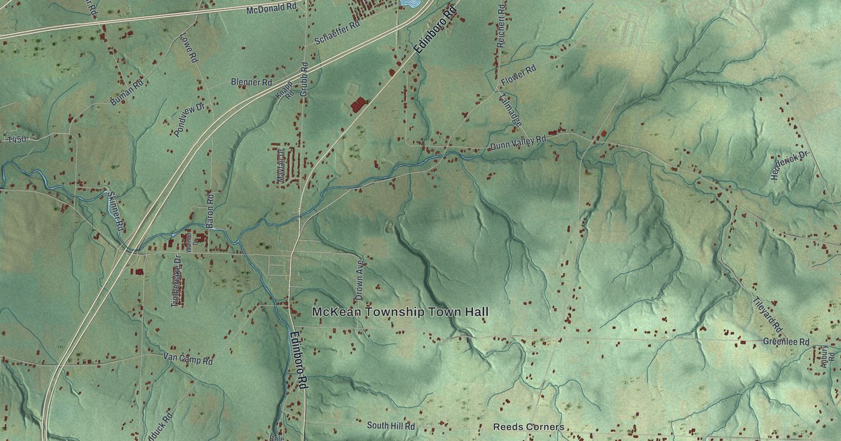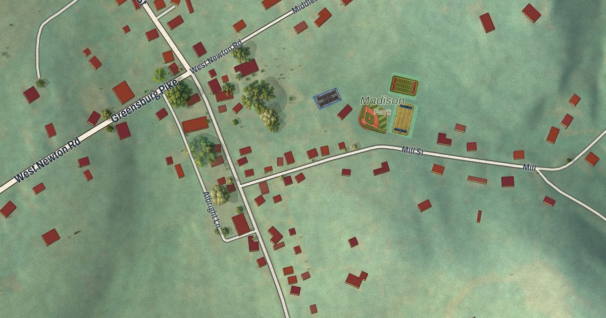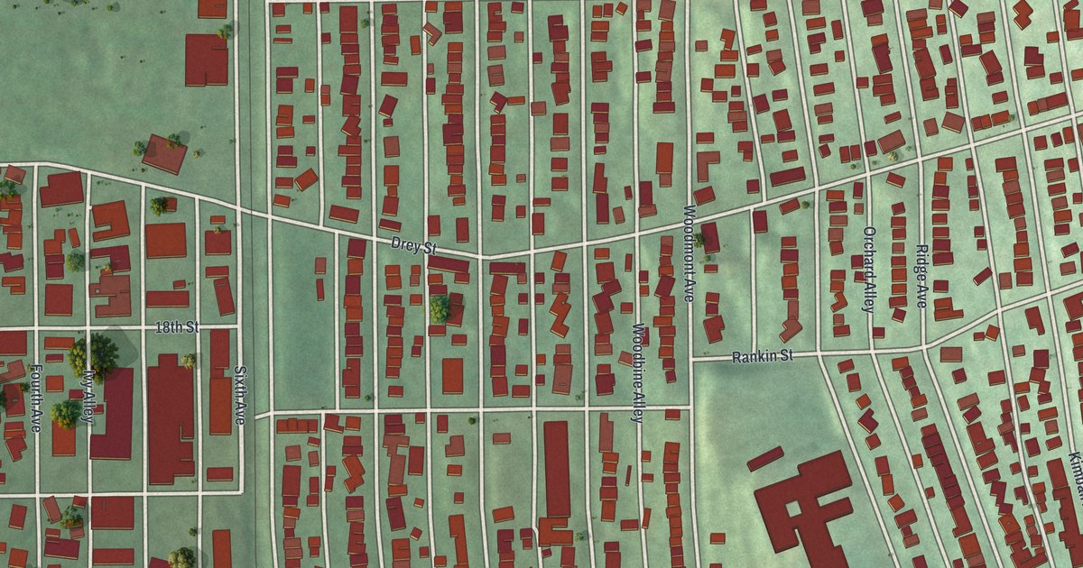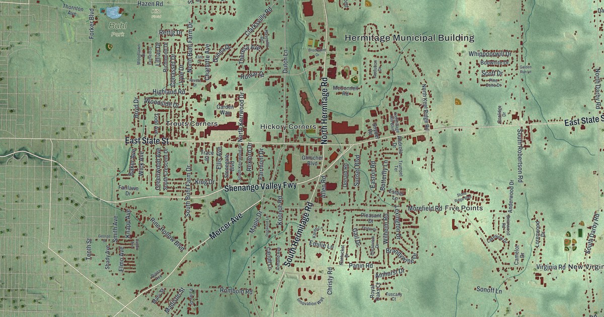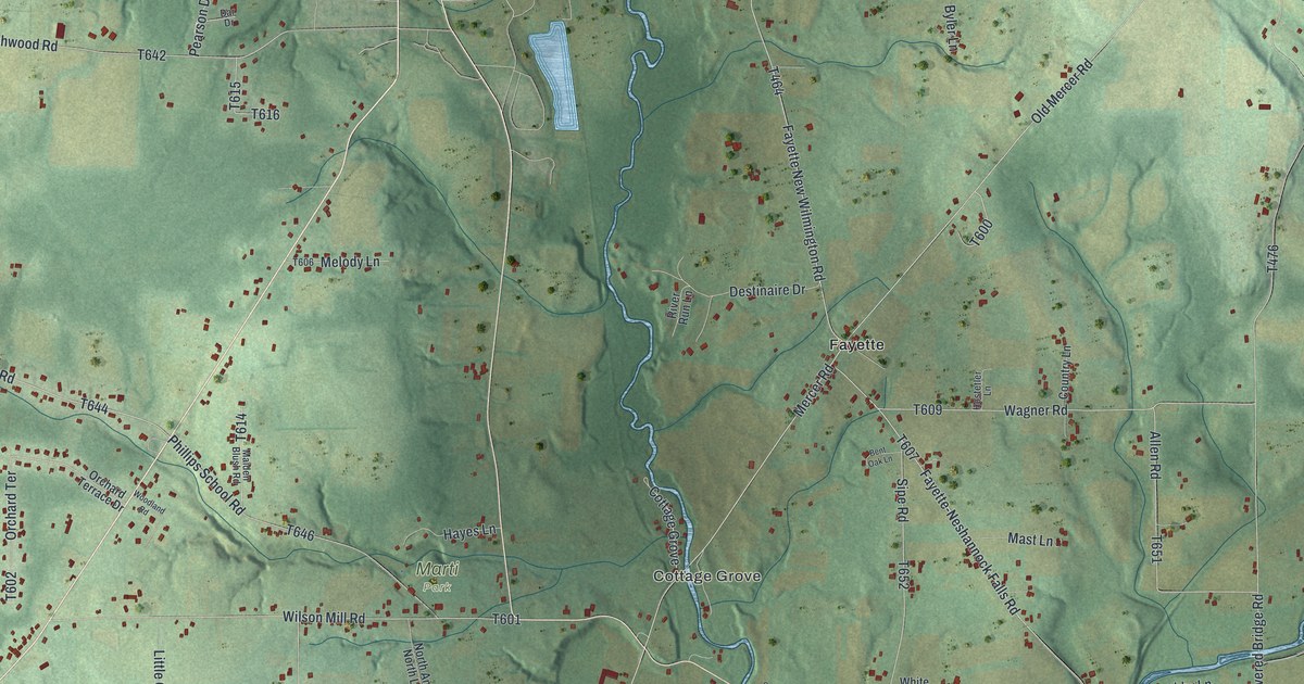
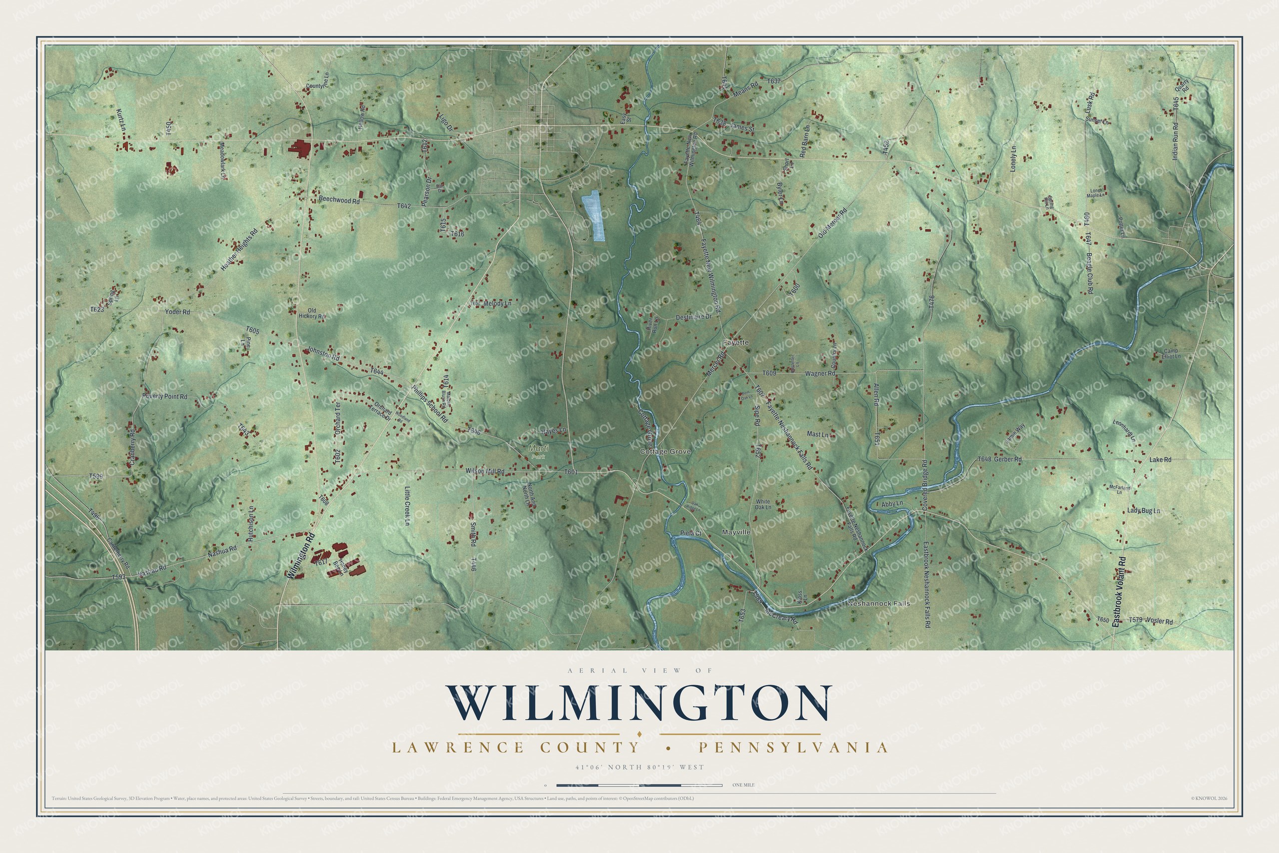
This beautifully detailed map of Wilmington, Lawrence County, Pennsylvania was created in 2026 using aerial imagery combined with modern topographical, census, street and landmark data. It's a modern aerial view of Wilmington, Lawrence County in Lawrence County, Pennsylvania, that combines modern data with a vintage aesthetic. The roads feature printed names, and if you look closely you can find your exact house accurately shown in its correct location.
Explore an aerial view of Wilmington, Lawrence County, Pennsylvania
On this map you'll find Neshannock Falls, Mayville, Cottage Grove, Marti Park, Fayette, Wilmington Road, Eastbrook Volant Road, Nashua Road, Indian Run Road, T496, T593, T599, and more. Each red shape is a building, so zoom in on the preview and look for yours.
Every town has a first chapter, and Wilmington, Lawrence County is no exception. The Internet Archive puts it this way: "Wilson, was built in 1841, by the
same parties who built the first one, and has four run of stone, two of them
having been for some time in use in the old mill."
Wilmington, Lawrence County is a place in Lawrence County. The Census Bureau counted 2,663 people here in 2020.
Take a closer look at the Wilmington, Lawrence County map
Names on this map
These names are printed on this map.
Places: Neshannock Falls, Mayville, Cottage Grove, Marti Park and Fayette.
Streets and roads: Wilmington Road, Eastbrook Volant Road, Nashua Road, Indian Run Road, Nashau Road, Sipe Road, Johnston Road, Fayette New Wilmington Road, Mercer Road, Old Mercer Road, Covered Bridge Road, Heather Heights Road.
More street names, A to Z
Abby Lane, Allen Road, Beagle Club Road, Beechwood Road, Bent Oak Lane, Byler Lane, Camp Elliot Lane, Canterberry Road, Country Lane, Countyline Lane, Cranberry Road, Dar Drive, Destinaire Drive, Eastbrook Neshannock Falls Road, Easy Street, Fayette-Neshannock Falls Road, Fayette-New Wilmington Road, Fayette Neshannock Falls Road, Gerber Road, Hayes Lane, Hollow Road, Honey Bee Lane, Hostetler Lane, Hutchison Lane, James Street, Jamie Way, Kloss Lane, Kurtz Lane, Lady Bug Lane, Lake Road, Leonhardt Lane, Ligo Drive, Little Creek Lane, Lonely Lane, Lone Maple Lane, Lusk Road, Maiden Blush Road, Mast Lane, McCreary Road, McFarland Lane, Meadowlark Lane, Means Road, Melody Lane, North And North Lane, Oak Ridge Lane, Old Hickory Road, Orchard Terrace, Orchard Terrace Drive, Pearson Drive, Phillips School Road, Piela Court, Pine Lane, Potter Lane, Poverty Point Road, Quarry Road, Red Barn Lane, River Run Lane, Short Lane, Smith Road, Spring Hill Lane, Spring Lane, Sunset Lane, Vosler Road, Wagner Road, White Oak Lane, Wilson Mill Road, Woodland Road, Yoder Road.
Created by KNOWOL in 2026. The buildings are small red shapes, the roads carry their printed names, and shaded relief shows the shape of the land. The title panel reads "AERIAL VIEW OF WILMINGTON LAWRENCE COUNTY • PENNSYLVANIA" with 4, 1, °, 0, 6, ', , N, O, R, T, H, , 8, 0, °, 1, 9, ', , W, E, S, T.
Hang it in the hallway, the office or the cabin, or give it to someone who left Wilmington, Lawrence County and still calls it home. Open the preview and look for a street you know. See sizes and frames for the Wilmington, Lawrence County map.