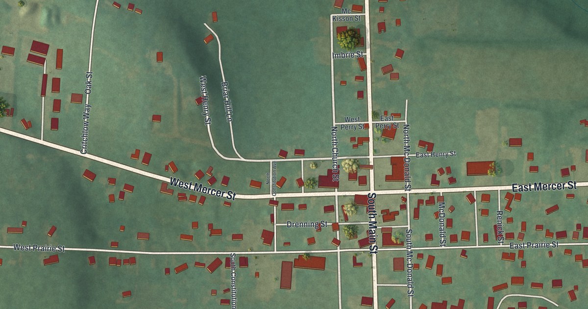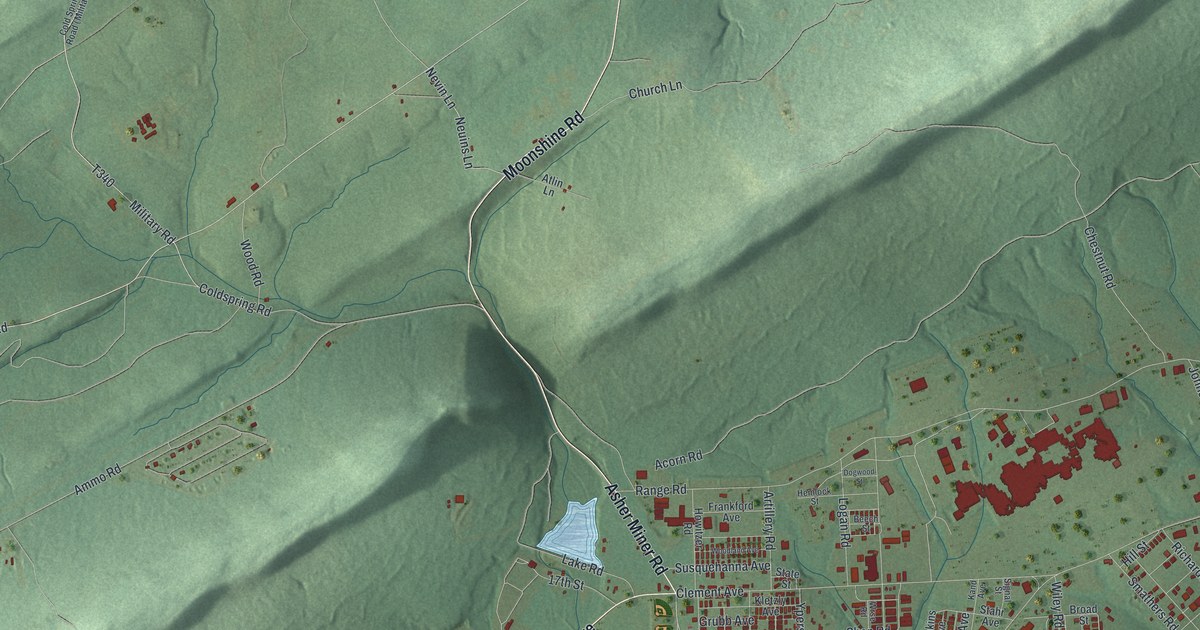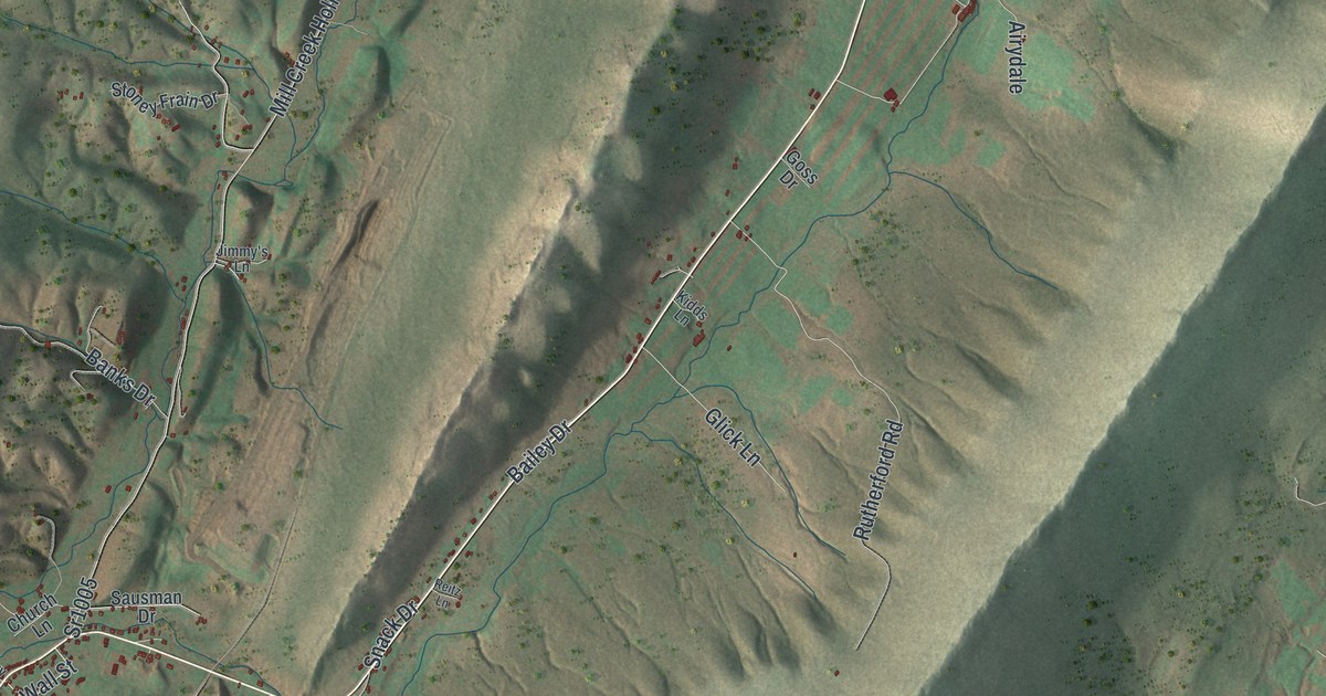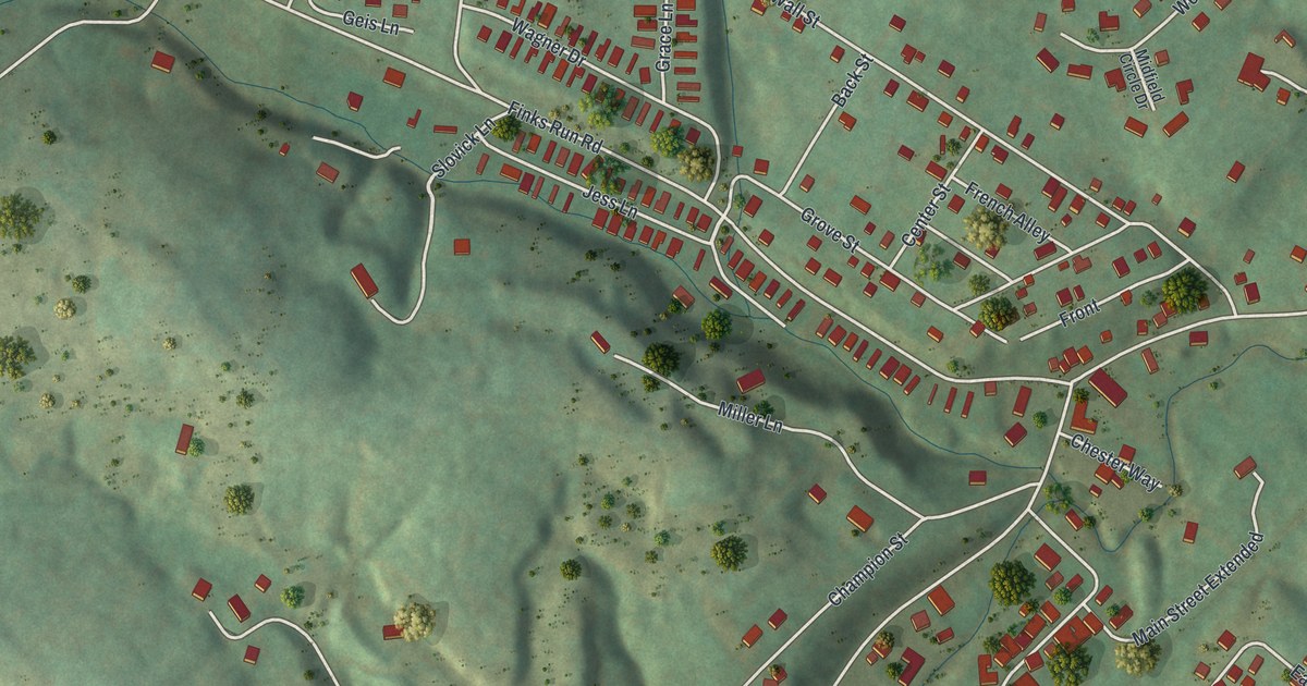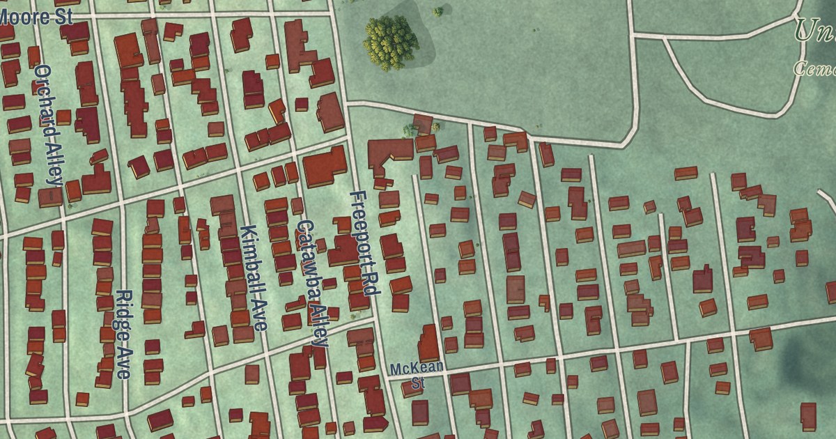
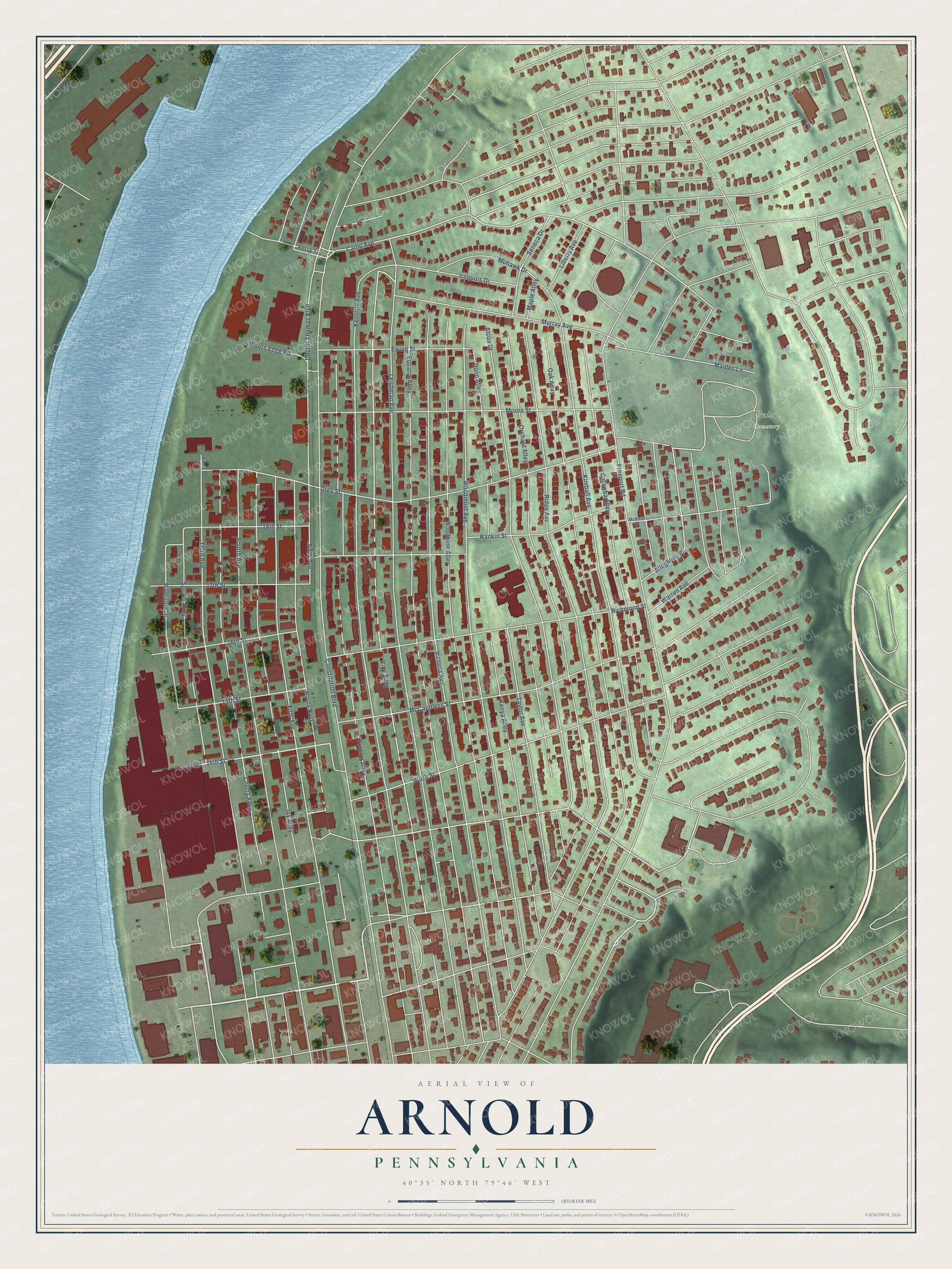
This beautifully detailed map of Arnold, Pennsylvania was created in 2026 using aerial imagery combined with modern topographical, census, street and landmark data. It’s a one-of-a-kind view of Arnold that combines accurate data with a vintage aesthetic. The map shows every building in its true location, many of the roads carry their names, and the shaded topographic relief shows the shape of the land.
Explore an aerial view of Arnold, Pennsylvania
On the map you’ll find Union Cemetery, Valley Camp, and Fourteenth, along with 14th Street, Leishman Avenue, Camp Avenue, Riverside Drive, Sixth Avenue, Constitution Boulevard, Kenneth Avenue, Vine Alley, Equator Alley, and more. If you look closely you can even find your house accurately drawn in its correct location. Zoom in on the preview to look for yours.
Did you know this piece of Arnold, Pennsylvania history?
Around 1781 Robert McCrea bought the land where Arnold now stands. Major Andrew Arnold, raised in nearby Kittanning, became its first settler in 1852. The town belonged to New Kensington for a few years after 1891. It was set apart as a borough in January 1896 and became a city in 1939.
Take a closer look at the Arnold map
Street and place names on the Arnold, Pennsylvania map
These names are printed on the map of Arnold, Pennsylvania.
Places: Union Cemetery.
Streets and roads: Leishman Avenue, 14th Street, Vine Alley, Camp Avenue, Riverside Drive, Constitution Boulevard, Kenneth Avenue, Equator Alley, Victoria Avenue, Proctor Alley, Woodbine Alley, Woodmont Avenue.
More street names, A to Z
15th Street, 16th Street, 17th Street, 18th Street, Alcoa Drive, Allegheny Place, Catawba Alley, Cherry Alley, Doctor Thomas Boulevard, Drey Street, Dunn Alley, Ems Square, Ewing Street, Ferry Street, Fifth Avenue, Fourteenth, Fourth Avenue, Freeport Road, Horne Boulevard, Iroquois Drive, Ivy Alley, Kenya Alley, Kimball Avenue, Liberty Avenue, Maiden Lane, Maple Alley, McCandless Street, McKean Street, Mohawk Drive, Moore Street, Murray Avenue, North Street, Oak Alley, Orchard Alley, Rankin Street, Richmond Street, Ridge Avenue, Rivers Edge Road, Seneca Drive, Sixth Avenue, Spruce Alley, Taylor Avenue, Third Avenue, Warren Avenue.
See the Arnold, Pennsylvania map on a wall
The Arnold map as an 18 x 24 inch print in a black frame.

This beautifully detailed map of Arnold makes an attractive addition to your office, library, or den, and it can even be used to teach children the geography and history of the area. It also makes a great gift for someone who left Arnold and still calls it home. When you’re done exploring, click here to get your copy of the Arnold map.