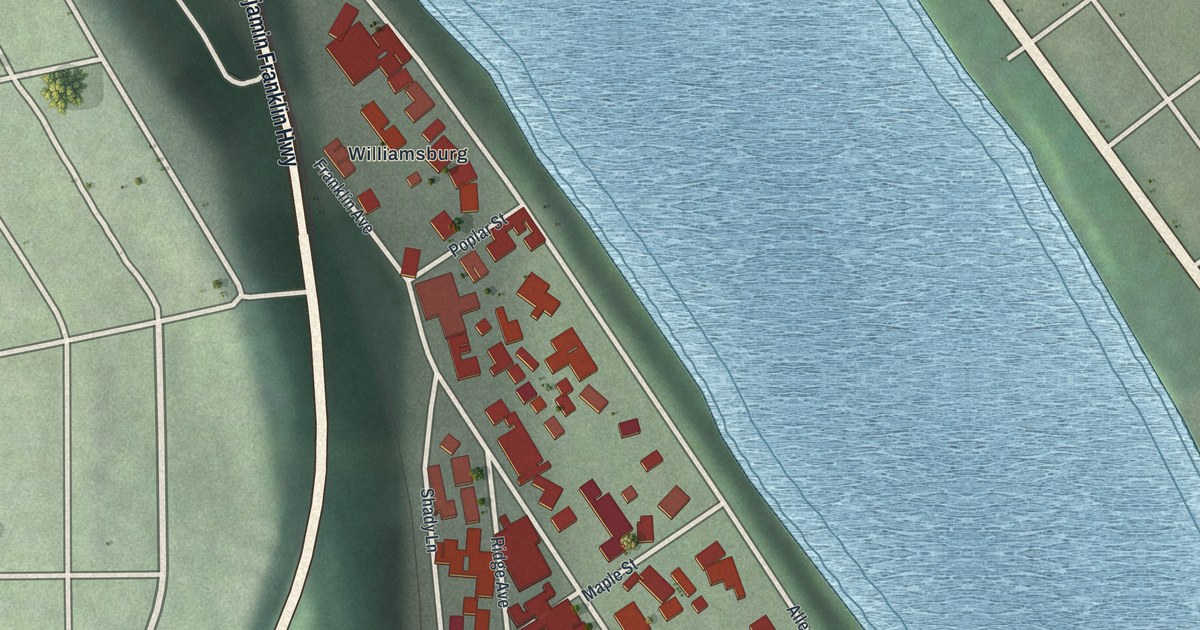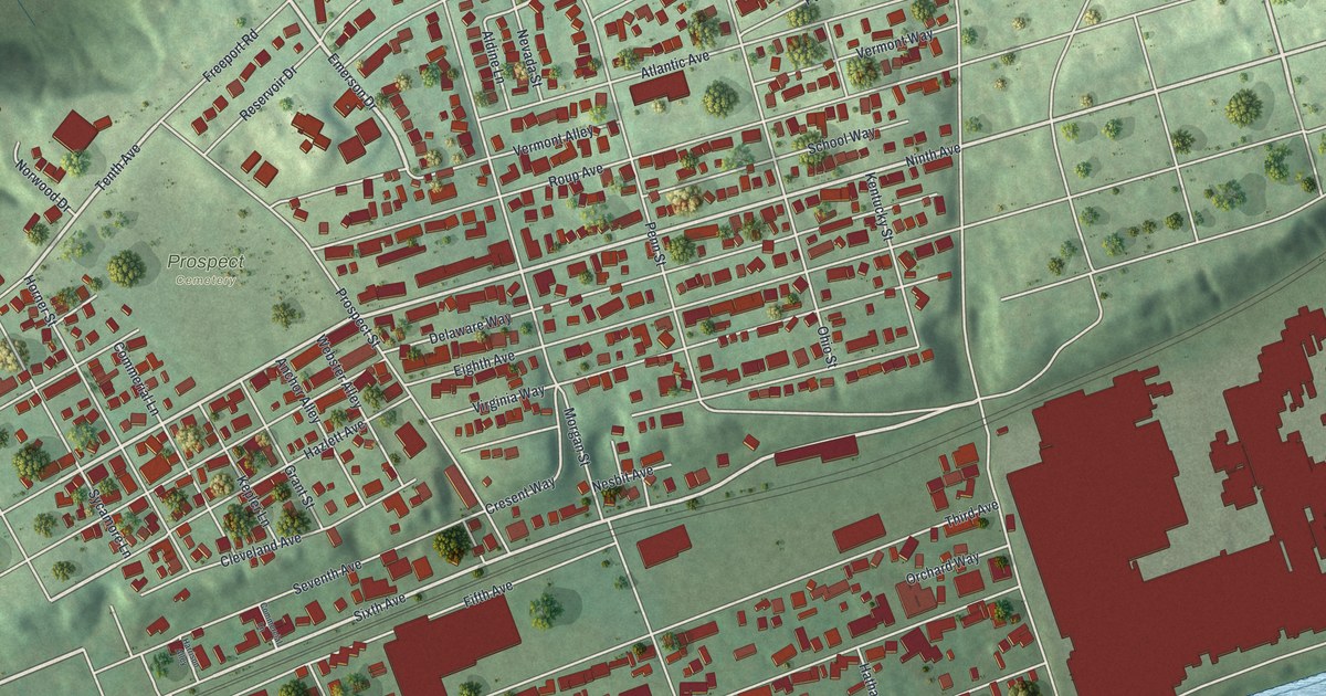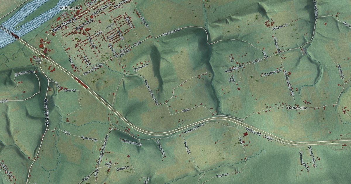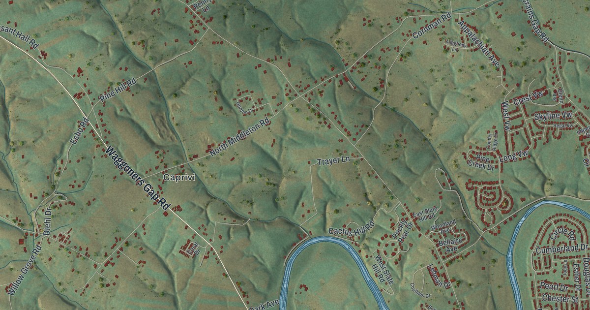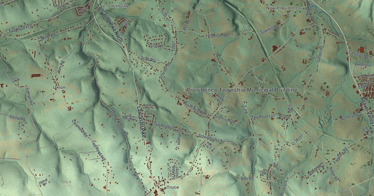
If you grew up in Providence Township, look for your family's road. This modern aerial view of Providence in Lancaster County, Pennsylvania pairs modern data with a vintage feel. Red buildings dot the green hills, with small streams winding between them. New Providence, Smithville, Union and Truce each have a place on the print.
New Providence, Smithville, Union and Truce
On this map you'll find Beaver Valley Pike, Lancaster Pike, New Providence, Smithville, Union, Truce, Main Street, Pennsy Road, Truce Road, Rawlinsville Road, Hopkins Mill Road, Schoolhouse Road, and more. Each red shape is a building, so zoom in on the preview and look for yours.
The 1883 county history says New Providence was once called "Black Horse." The village named on this print took that old name from its log hotel's sign. The 2020 Census counted 6,995 people in Providence Township. On the print, you can see clusters of buildings and homes spaced along smaller roads. Shaded hills and narrow blue streams fill the ground between them. The Providence Township Municipal Building label gives you another familiar place to find among those roads.
Providence's hills on your wall
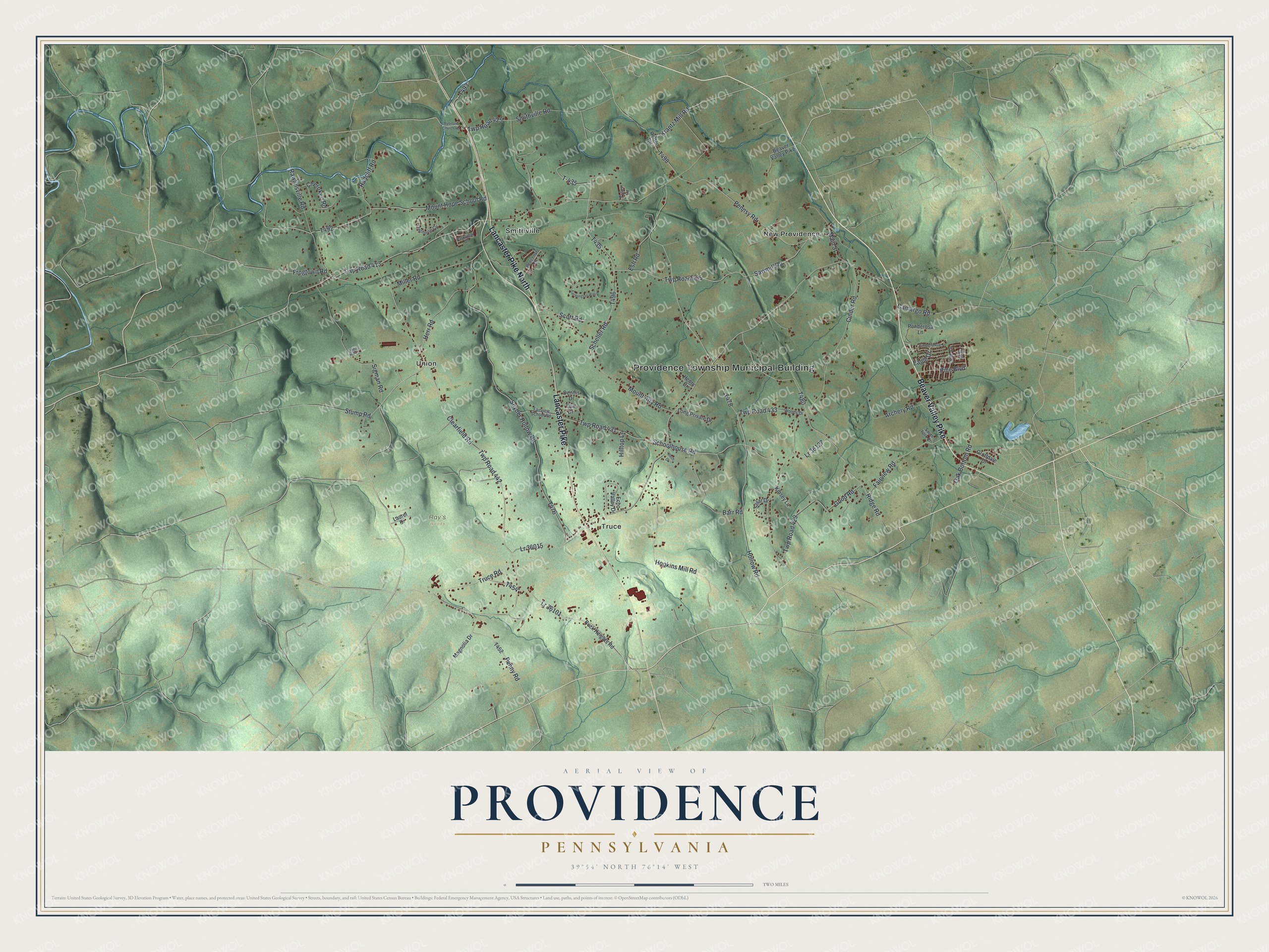
KNOWOL made this map in 2026 from public terrain, stream, road and building data, and it pairs soft green terrain with blue streams and red buildings. A cream border surrounds the view. The title panel reads AERIAL VIEW OF PROVIDENCE, PENNSYLVANIA, with 39°54' NORTH 76°14' WEST below. Created by KNOWOL in 2026.
It's a natural fit for a living room, office or entryway. Give it to someone with family in Smithville or a childhood home in New Providence. Open the preview and take a closer look at the roads around home. See sizes and frames for the Providence map.