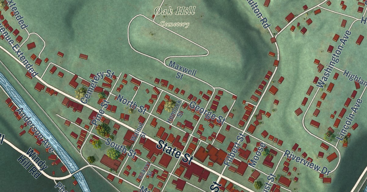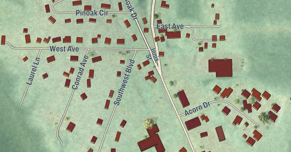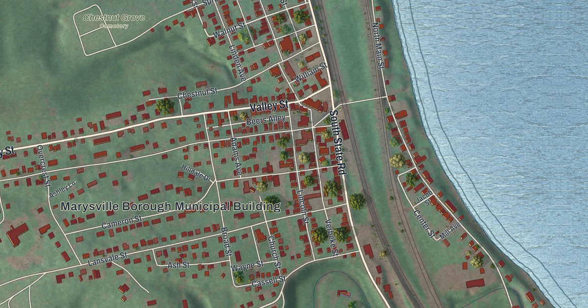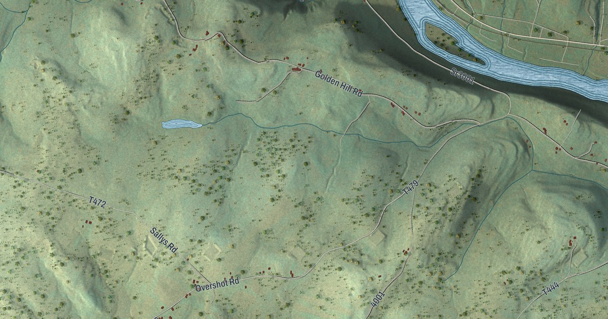
This beautifully detailed map of Windham, Wyoming County, Pennsylvania was created in 2026 using aerial imagery combined with modern topographical, census, street and landmark data. It’s a one-of-a-kind view of Windham that combines accurate data with a vintage aesthetic. The map shows every building in its true location, many of the roads carry their names, and the shaded topographic relief shows the shape of the land.
Explore an aerial view of Windham, Wyoming County, Pennsylvania
On the map you’ll find Stowell, Scottsville, and Jenningsville, along with Overshot Road, Church Road, State Road 4002, Oak Hollow Road, Sallys Road, Townline Road, Oak Ridge Road, and more. If you look closely you can even find your house accurately drawn in its correct location. Zoom in on the preview to look for yours.
Did you know this piece of Windham, Wyoming County, Pennsylvania history?
From the 1880 History of Luzerne, Lackawanna, and Wyoming Counties, Pennsylvania: "Josiah Fassett, whose descendants are numerous in the township, was born in Windham county, Conn., August 10th, 1761. He was a teacher, and was an artilleryman during the Revolution. About 1788 he married Abigail Stevens, sister of Judge Jonathan and Asa Stevens, whose father, Asa Stevens, from Connecticut, settled in the Wyoming valley previous to her birth (which occurred March 11th, 1771) and lost his life at the Wyoming massacre, his family returning to Connecticut."
Take a closer look at the Windham, Wyoming County map
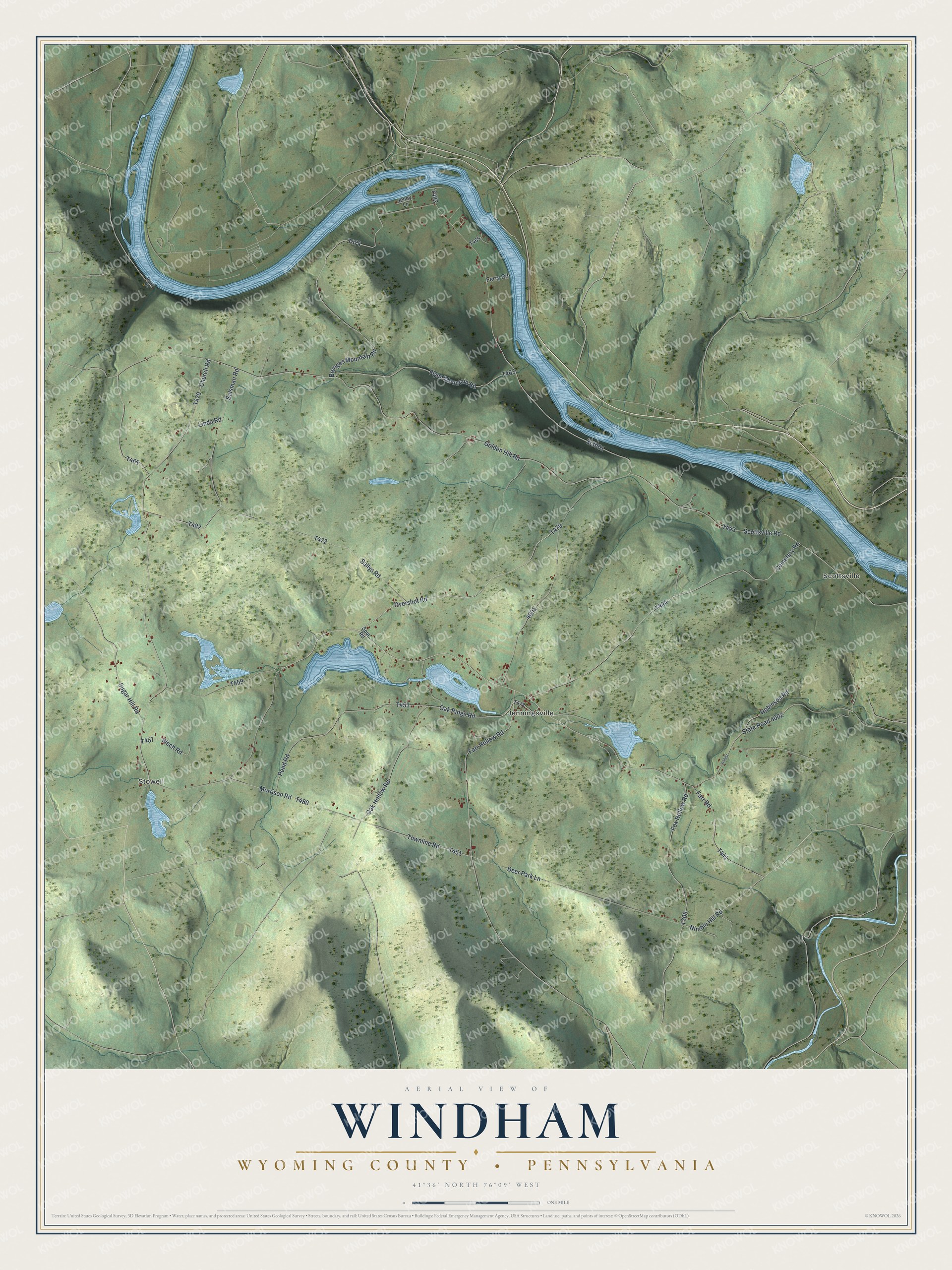
Street and place names on the Windham, Wyoming County, Pennsylvania map
These names are printed on the map of Windham, Wyoming County, Pennsylvania.
Places: Stowell, Scottsville and Jenningsville.
Streets and roads: Overshot Road, Church Road, State Road 4002, Oak Hollow Road, Sallys Road, Townline Road, Oak Ridge Road, Nimble Hill Road, Farr Road, Golden Hill Road, Cemetery Road, Brunges Mountain Road.
More street names, A to Z
Deer Park Lane, Farr Hollow Road, Ferry Road, Flynn Mountain Road, Fox Hollow Road, Jenny Lane, Linda Road, Morrison Road, Pond Road, River Road, Robinson Road, Salsman Road, Scottsville Road, Spur Road, Sr3001, Sr4002, Sugar Hill Road, Wech Road.
See the Windham, Wyoming County, Pennsylvania map on a wall
The Windham, Wyoming County map as an 18 x 24 inch print in a black frame.

This beautifully detailed map of Windham, Wyoming County makes an attractive addition to your office, library, or den, and it can even be used to teach children the geography and history of the area. It also makes a great gift for anyone with Windham roots. When you’re done exploring, click here to get your copy of the Windham, Wyoming County map.