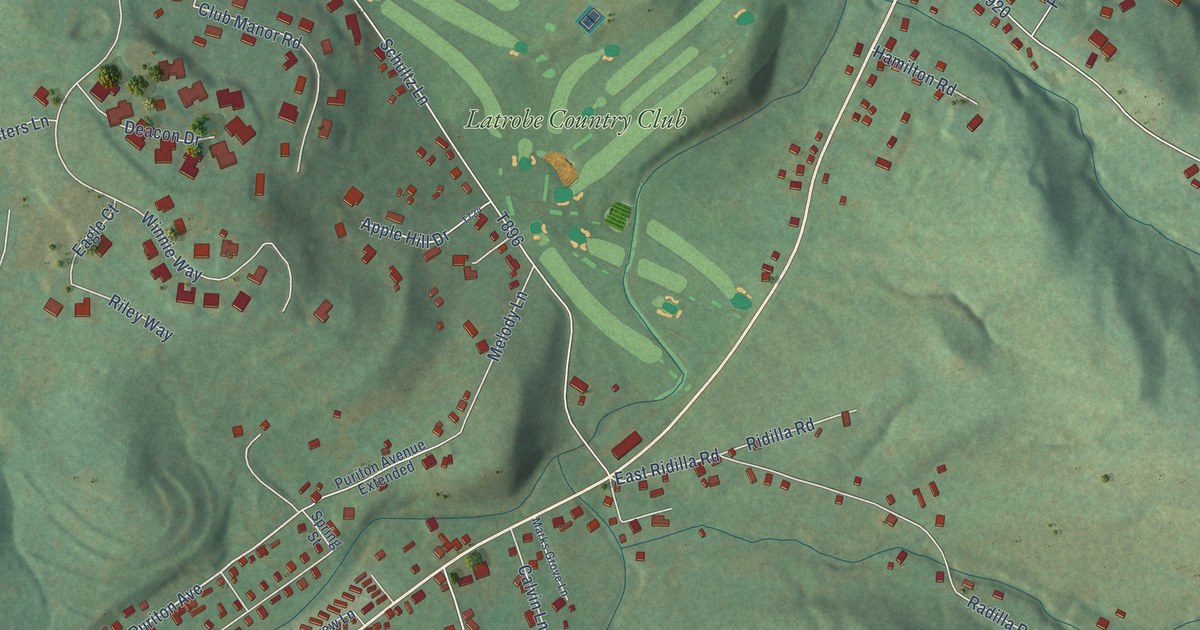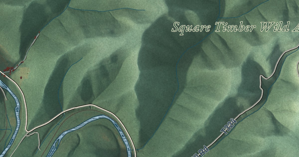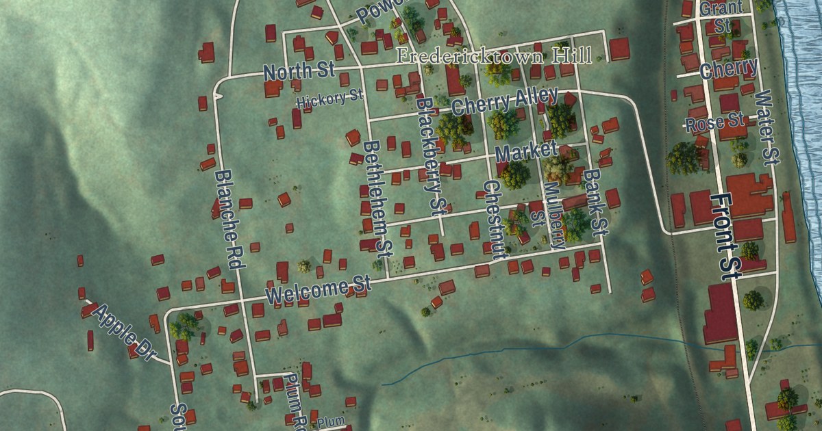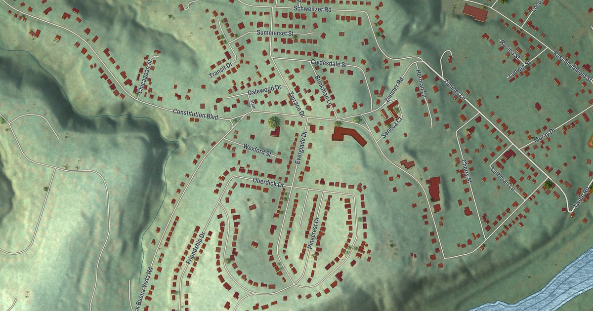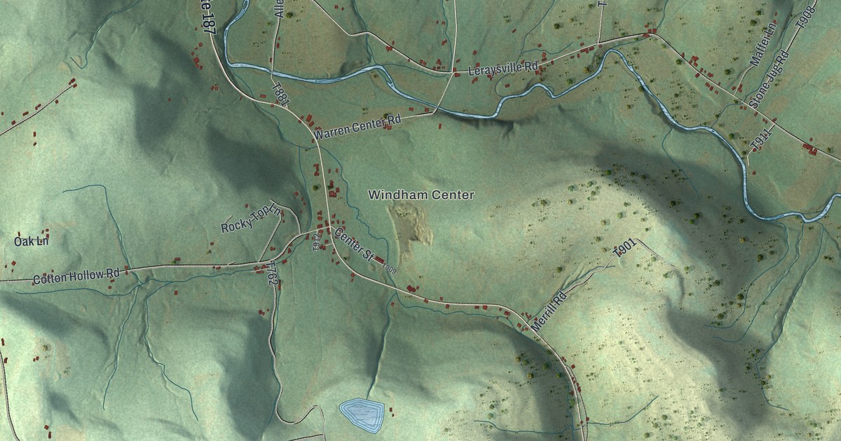
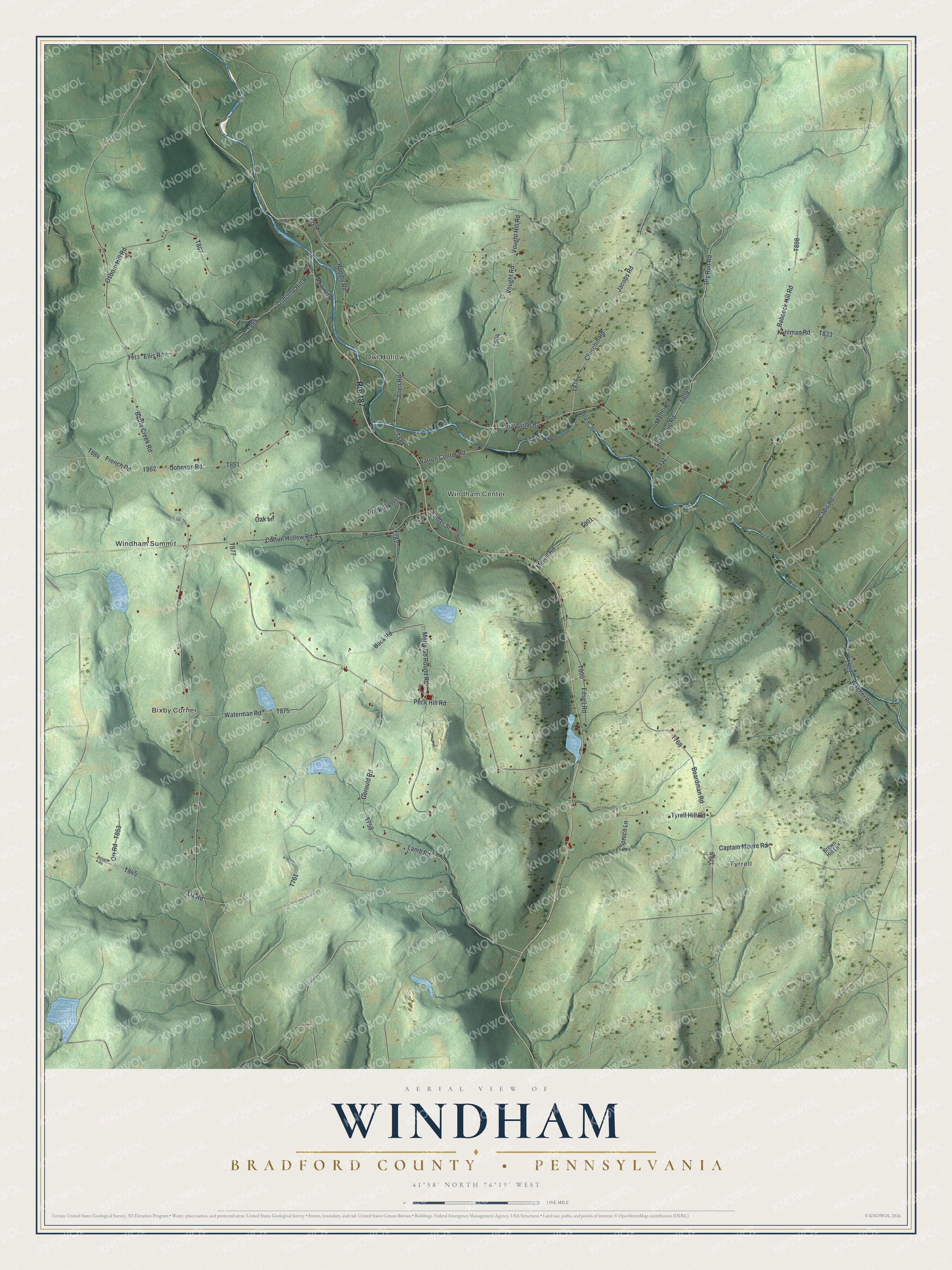
This beautifully detailed map of Windham, Bradford County, Pennsylvania was created in 2026 using aerial imagery combined with modern topographical, census, street and landmark data. It’s a one-of-a-kind view of Windham that combines accurate data with a vintage aesthetic. The map shows every building in its true location, many of the roads carry their names, and the shaded topographic relief shows the shape of the land.
Explore an aerial view of Windham, Bradford County, Pennsylvania
On the map you’ll find Tyrrell, Bixby Corner, Windham Summit, Owl Hollow, and Windham Center, along with Vought Hill Road, Vought Road, Tyrell Hill Road, Stone Jug Road, and more. If you look closely you can even find your house accurately drawn in its correct location. Zoom in on the preview to look for yours.
Did you know this piece of Windham, Bradford County, Pennsylvania history?
From the 1891 History of Bradford County, Pennsylvania: "Although a farmer by occupation, in his younger days he served as sailor for a few years, and seven years in the struggle of the American Revolution, ending with being captured by the British and confined in a prison-ship."
Take a closer look at the Windham, Bradford County map
Street and place names on the Windham, Bradford County, Pennsylvania map
These names are printed on the map of Windham, Bradford County, Pennsylvania.
Places: Tyrrell, Bixby Corner, Windham Summit, Owl Hollow and Windham Center.
Streets and roads: Route 187, Vought Hill Road, Vought Road, Tyrell Hill Road, Stone Jug Road, Captain Moore Road, Lamb Road, Lix Road, Battle Creek Road, Warren Center Road, Peck Hill Road, Merry Go Round Road.
More street names, A to Z
Allen Road, Arnold Road, Austin Road, Babcock Hill Road, Boardman Road, Brown Hill Lane, Buck Road, Cadis Road, Center Street, Churchill Road, Cotton Hollow Road, Dry Run Road, Edsell Road, Ellis Road, French Road, Gerould Road, Harding Road, Huddle Road, Jacobs Road, Johnson Road, Kuhlman Road, Leraysville Road, Maffei Lane, Merrill Road, Oak Lane, Orr Road, Osborne Hill Road, Osborn Hill Road, Rocky Top Lane, Spruce Lane, State Line Road, Wagner Road, Waterman Road.
See the Windham, Bradford County, Pennsylvania map on a wall
The Windham, Bradford County map as an 18 x 24 inch print in a black frame.

This beautifully detailed map of Windham, Bradford County makes an attractive addition to your office, library, or den, and it can even be used to teach children the geography and history of the area. It also makes a great gift for someone who left Windham and still calls it home. When you’re done exploring, click here to get your copy of the Windham, Bradford County map.