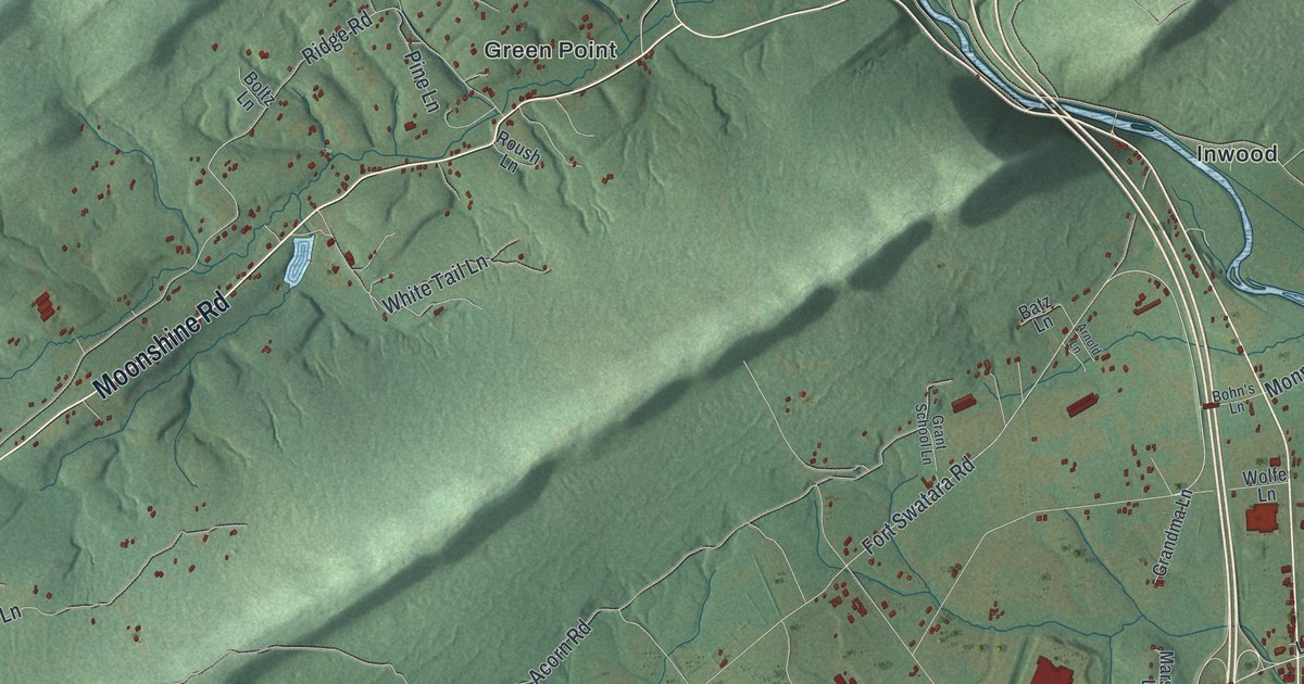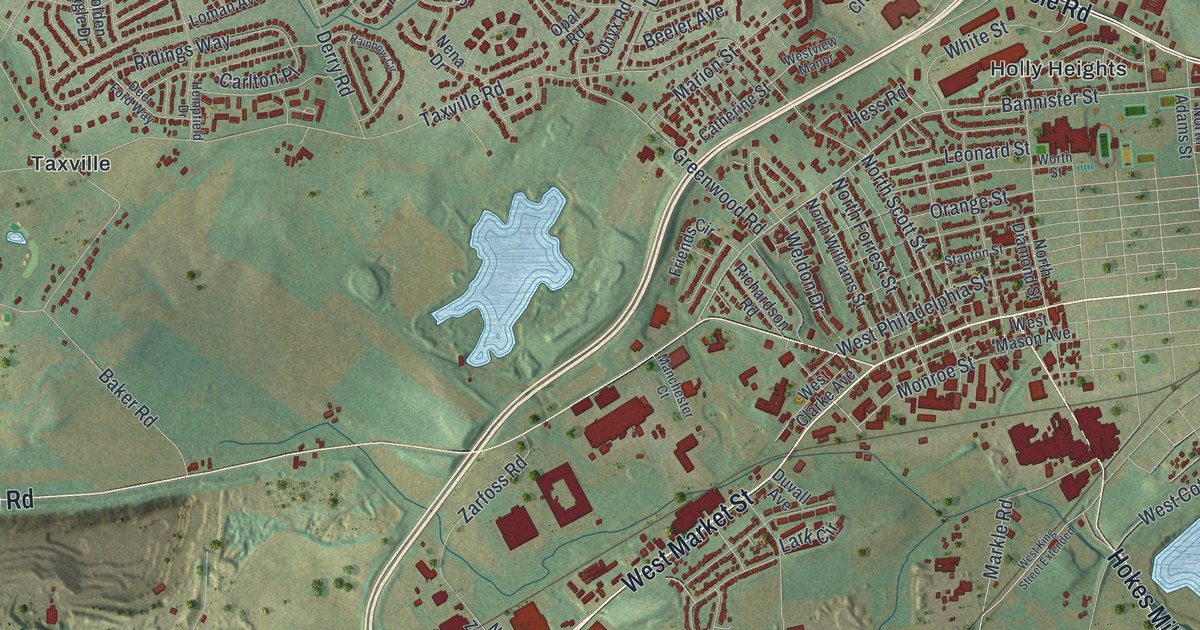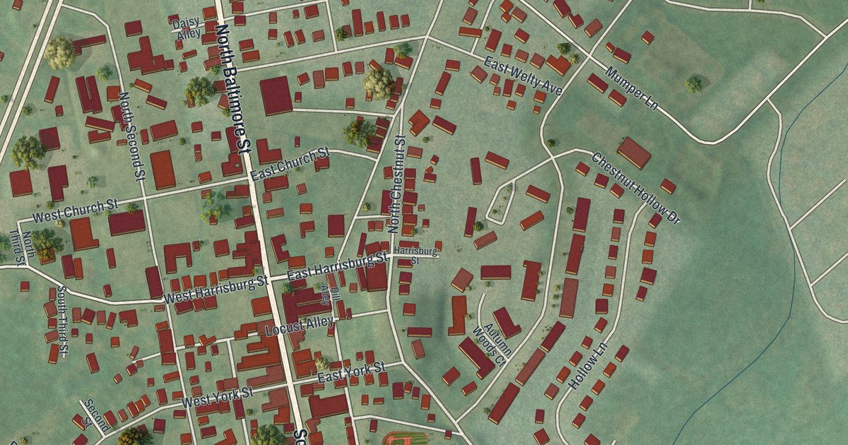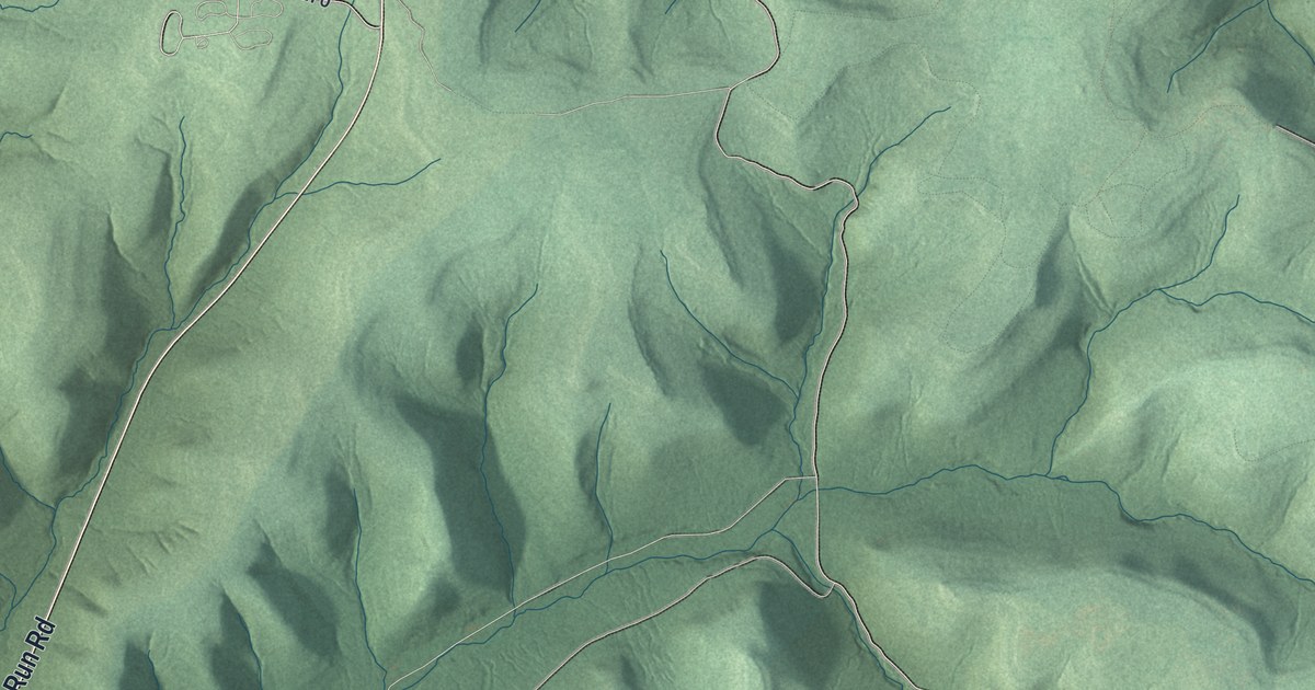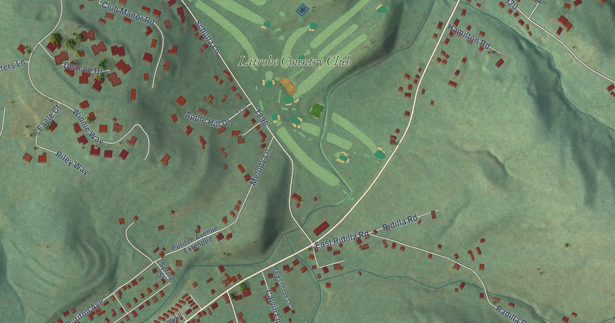
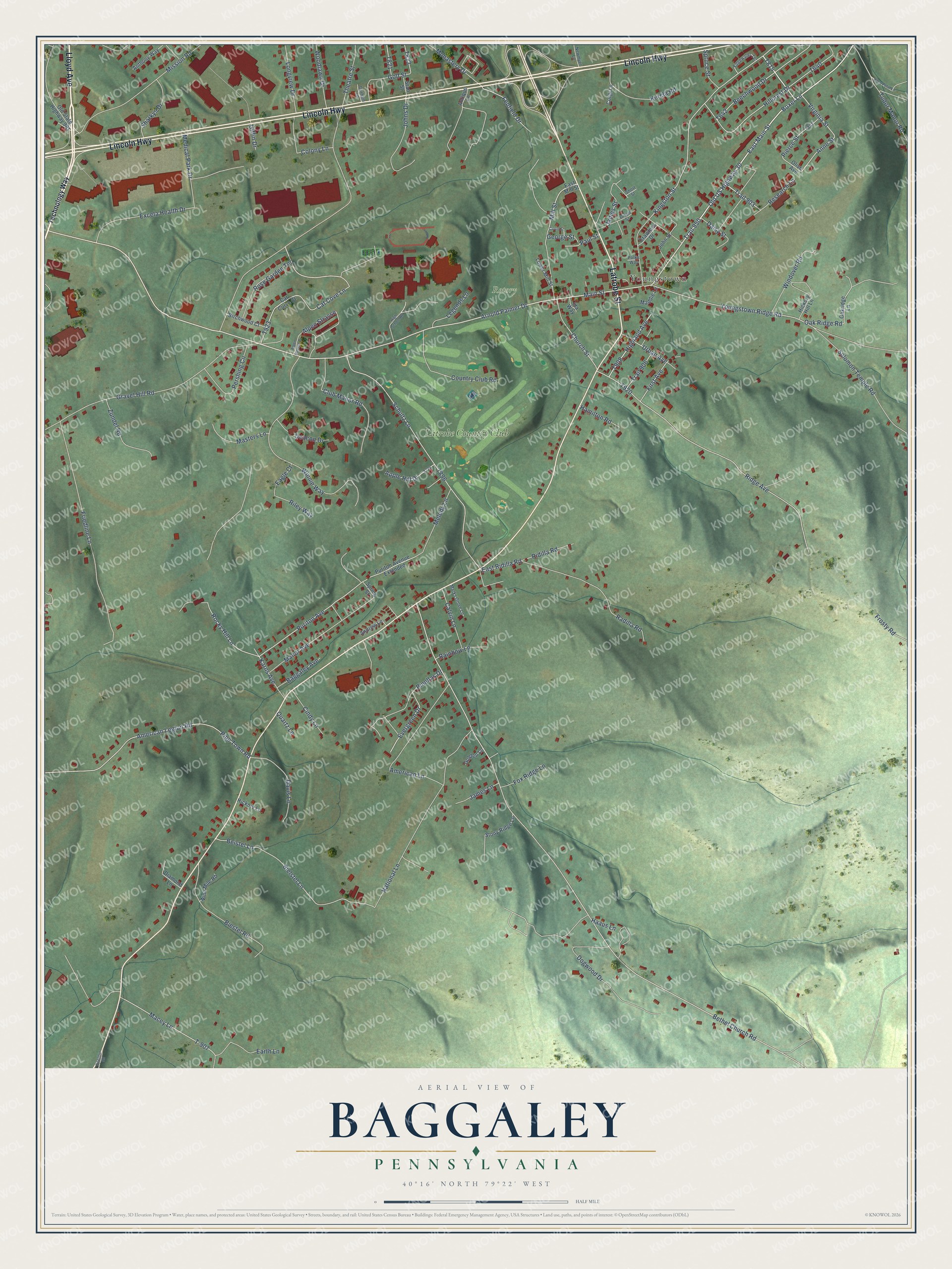
This beautifully detailed map of Baggaley, Pennsylvania was created in 2026 using aerial imagery combined with modern topographical, census, street and landmark data. It’s a one-of-a-kind view of Baggaley that combines accurate data with a vintage aesthetic. The map shows every building in its true location, many of the roads carry their names, and the shaded topographic relief shows the shape of the land.
Explore an aerial view of Baggaley, Pennsylvania
On the map you’ll find Rotory, Youngstown, Latrobe Country Club, and Trail 950, along with Lincoln Highway, Latrobe Street, Lloyd Avenue, Arnold Palmer Drive, East Main Street, Main Street, Old US Highway 30, Longview Drive, and more. If you look closely you can even find your house accurately drawn in its correct location. Zoom in on the preview to look for yours.
Take a closer look at the Baggaley map
Names on this map
These names are printed on this map.
Places: Rotory, Youngstown and Latrobe Country Club.
Streets and roads: Lincoln Highway, Latrobe Street, Lloyd Avenue, Arnold Palmer Drive, East Main Street, Main Street, Old US Highway 30, Trail 950, Longview Drive, Theatre Street, Virginia Street, Highland Avenue.
More street names, A to Z
Alpen Strasse, Alpen Strasse Drive, American Lane, American Legion Road, Andrew Lane, Anne Street, Anthony Way, Antique Lane, Apple Hill Drive, Baggaley Avenue, Beechwood Drive, Beistel Lane, Bethel Church Road, Bielstel Lane, Biestel Road, Birchwood Court, Boxer Lane, Calvin Lane, Cat Cove Lane, Cat Curve Court, Church Street, Cindy Lane, Club Manor Road, Colony Lane, Corgi Lane, Country Club Road, Crawford Drive, Curtis Street, Daisy Street, Davis Lane, Deacon Drive, Diamond Lane, Dixon Street, Dogwood Drive, Durham Lane, Eagle Court, Earth Lane, East Mill Street, East Ridilla Road, Edgewater Terrace, Evergreen Drive, Excela Health Drive, Fenfield Drive, First Avenue, Fox Ridge Lane, Friedline Lane, Frosty Road, George Street, Giffin Drive, Golden Lane, Golf Street, Gravel Hill Road, Haaus Lane, Hamilton Road, Hickory Hill Lane, Hickory Lane, High School Road, Hillcrest Drive, Ida Way, James Lane, James Street, Johns Drive, John Street, Karns Avenue, Kingston Street, Kurela Road, Legends Lane, Lower Mill Street, Macey Lane, Maddie Lane, Manor Avenue, Marks Grove Lane, Masters Lane, Medical Park Drive, Melody Lane, Mill Street, Mission Road, Monastery Drive, National Lane, Newmyer Lane, Nine Mile Road, Oakridge Lane, Oak Ridge Road, Old State Highway 981, Olive Avenue, Paul Street, Pershing Circle, Pierce Street, Pinellas Drive, Pipe Town Road, Polka Way, Puriton Avenue, Puriton Avenue Extended, Quartz Lane, Radilla Road, Rainbow Lane, Research Lane, Ridge Avenue, Ridilla Road, Riley Way, Ritenour Road, Rocky Hill Lane, Rose Garden Terrace, Rose Petal Lane, Schultz Lane, Sharkys Drive, Short Street, Solomon Temple Road, Spring Street, Spruce Street, Stan Street, Stony Ridge Lane, T-907, Technology Way, Trail 903, Trail 906, Tudor Manor Road, Urban Avenue, Windover Road, Winnie Way, Woodlawn Drive, Youngstown Ridge Road, Zundel Road.
See it on a wall
The Baggaley map as a framed print. Swipe for more.


This beautifully detailed map of Baggaley makes an attractive addition to your office, library, or den, and it can even be used to teach children the geography and history of the area. It also makes a great gift for someone who left Baggaley and still calls it home. When you’re done exploring, click here to get your copy of the Baggaley map.