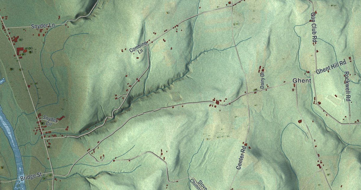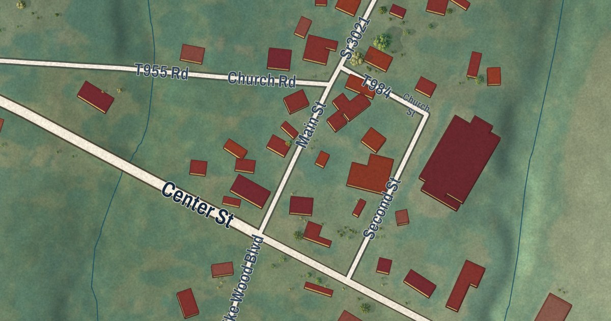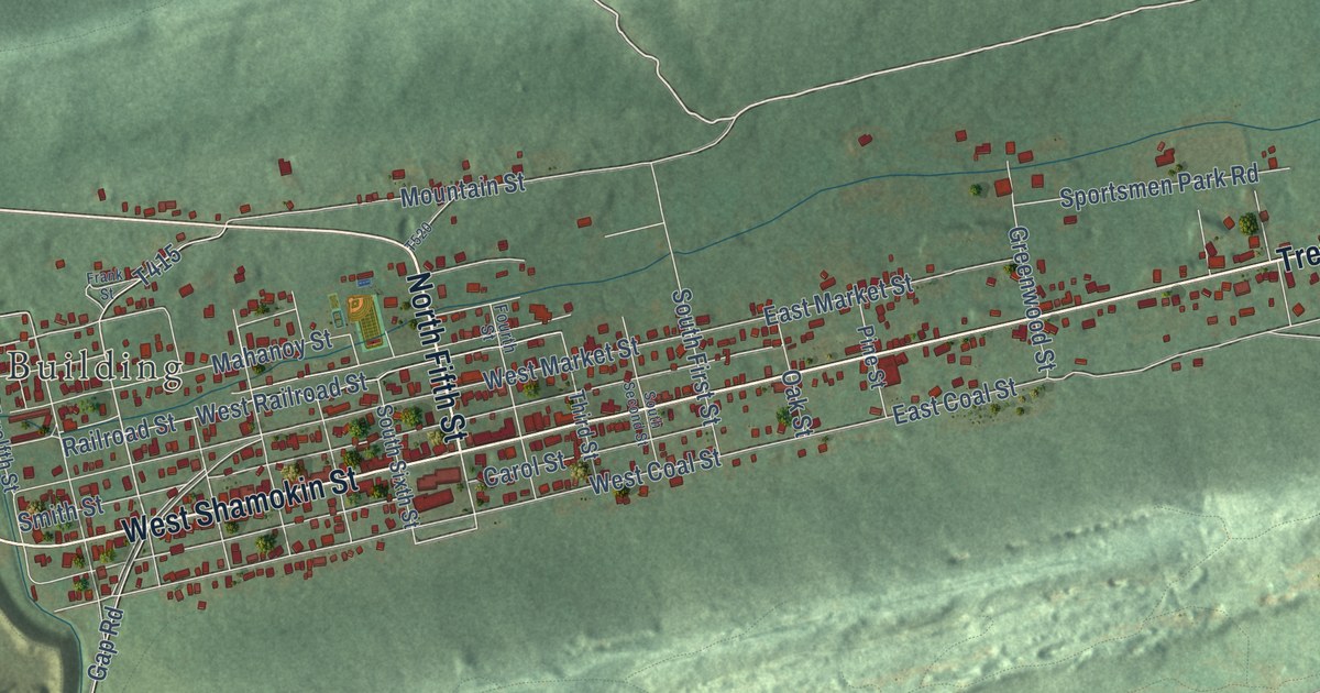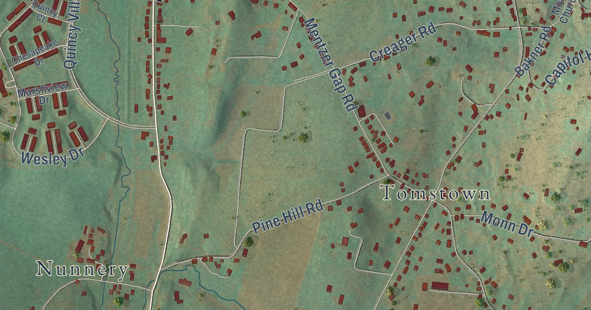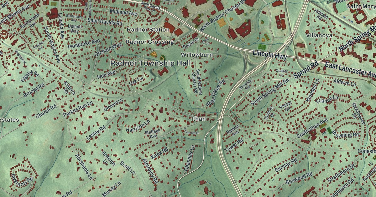
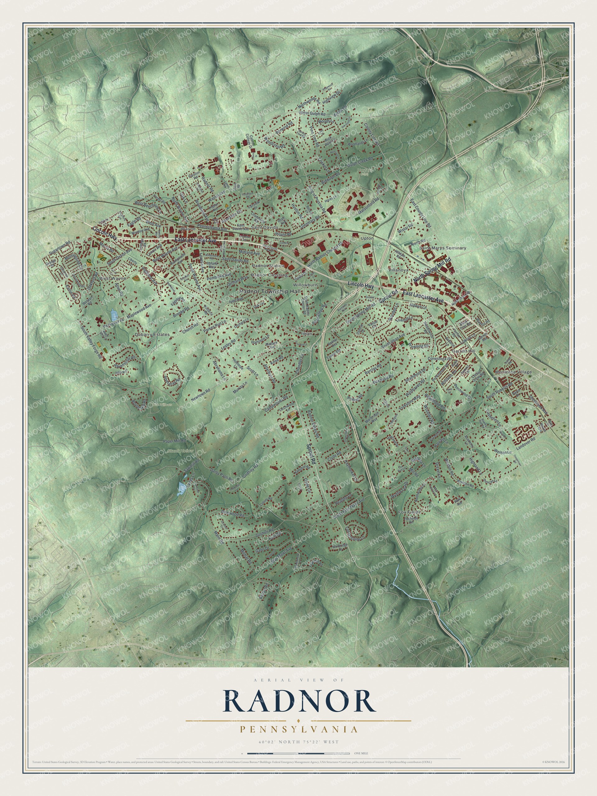
This beautifully detailed map of Radnor, Pennsylvania was created in 2026 using aerial imagery combined with modern topographical, census, street and landmark data. It’s a one-of-a-kind view of Radnor that combines accurate data with a vintage aesthetic. The map shows every building in its true location, many of the roads carry their names, and the shaded topographic relief shows the shape of the land.
Explore an aerial view of Radnor, Pennsylvania
On the map you’ll find Radnor Township Hall, Harford Park, Skunk Hollow, The Willows, Dubarry Estates, Fox Fields, Garrett Hill, Ithan, Montrose Village, Radnor Crossing, Radnor Station, Saint Davids, and more. If you look closely you can even find your house accurately drawn in its correct location. Zoom in on the preview to look for yours.
Take a closer look at the Radnor map
Street and place names on the Radnor, Pennsylvania map
These names are printed on the map of Radnor, Pennsylvania.
Places: Radnor Township Hall, Harford Park, Skunk Hollow, The Willows, Dubarry Estates, Fox Fields, Garrett Hill, Ithan, Montrose Village, Radnor Crossing, Radnor Station, Saint Davids, Saint Marys Seminary, Upton, Villanova, Wayne, West Wayne and Willowburn.
Streets and roads: East Lancaster Avenue, Lincoln Highway, North Spring Mill Road, Sproul Road, East County Line Road, King of Prussia Road, County Line Road, Upper Gulph Road, Landover Road, Abrahams Lane, Matsonford Road, South Valley Forge Road.
More street names, A to Z
Aberdeen Terrace, Academy Lane, Aldwyn Lane, Applegate Lane, Arden Road, Arthur Road, Atlee Road, Atterbury Road, Audubon Avenue, Bailey Road, Banbury Way, Barbara Lane, Barclay Road, Barren Road, Beechwood Drive, Belrose Lane, Berwind Road, Biddulph Road, Birches Lane, Black Friar Road, Boxwood Road, Braxton Road, Briarwood Road, Brooke Road, Browning Road, Bryn Mawr Avenue, Burnside Avenue, Cabrini College Drive, Cabrini Drive, Calvarese Lane, Cambria Court, Campwoods Road, Castlefinn Lane, Chamounix Road, Chandler Lane, Chestnut Lane, Chew Lane, Church Road, Clyde Circle, Clyde Road, Colony Road, Comrie Drive, Conestoga Road, Coopertown Road, Cornell Drive, Cornerstone Lane, Cricket Lane, Cumberland Place, Darby Paoli Road, David Drive, Dawn Lane, Debaron Lane, Devonwood Road, Donna Lane, Dovecote Lane, Drexel Lane, Duncan Lane, Eagle Road, Earles Lane, Eaton Road, Edgehill Road, Fairfax Road, Fairfield Lane, Fairview Drive, Fariston Road, Fawnhill Road, Fenimore Road, Forest Road, Foxfields Road, Fox Run Lane, Galer Drive, Garrett Avenue, Glenbrook Avenue, Glenmary Road, Godfrey Road, Goshen Road, Governor Circle, Grange Road, Gulph Creek Road, Hamilton Road, Hares Lane, Harford Lane, Harrison Lane, Harvard Lane, Haviland Drive, Haymarket Lane, Heather Lane, Hermitage Lane, Highland Avenue, Highland Lane, Highview Drive, Hilaire Road, Hilldale Road, Hollybush Place, Hothorpe Lane, Hunt Road, Huston Road, Inveraray Road, Iron Works Way, Ithan Avenue, Ithan Creek Road, Iven Avenue, Julip Run, Kinterra Road, Knox Road, Lakeview Circle, Lantoga Road, Larchwood Lane, Lawrence Lane, Lenoir Avenue, Lesley Road, Lewis Lane, Liberty Lane, Locust Grove Road, Louella Avenue, Lowrys Lane, Lynch Road, Malin Road, Maple Glen Lane, Maplewood, Maplewood Avenue, Maplewood Road, Marlbridge Way, Matlack Avenue, Meadowbrook Lane, Meadowood Road, Midland Avenue, Miller Street, Mill Road, Milmar Road, Moore Avenue, Morningside Circle, Morris Road, Murray Lane, Newtown Road, North Ithan Avenue, North Radnor Chester Road, North Road, North Wayne Avenue, Northwinds Drive, Northwoods Road, Oakford Road, Oak Grove Lane, Oak Lane, Oak Terrace, Orchard Lane, Orchard Way, Paddock Drive, Paper Mill Road, Park Avenue, Parkes Run Lane, Paul Road, Pembroke Avenue, Pennsylvania Avenue, Pine Tree Road, Plant Avenue, Poplar Avenue, Quaker Lane, Radnor Avenue, Radnor Road, Radnor Valley Road, Ravenscliff Road, Rawles Run Road, Ridgewood Road, Robinhood Road, Rockingham Road, Rock Rose Lane, Rolling Road, Round Hill Road, Runnymede Avenue, Saint Davids Avenue, Saint Davids Park Drive, Saint Davids Road, Sawmill Road, Scott Lane, Sinkler Drive, South Aberdeen Avenue, South Bryn Mawr Avenue, South Devon Avenue, South Ithan Avenue, South Radnor Chester Road, South Roberts Road, South Spring Mill Road, South Wayne Avenue, Spruce Tree Road, Stewart Lane, Strafford Avenue, Strathmore Drive, Sturbridge Drive, Sugartown Road, Summit Terrace, Tower Road, Trianon Lane, Upland Way, Valley Place, Vassar Circle, Walnut Avenue, Weldon Lane, Welwyn Road, West Avenue, West Beechtree Lane, West Laurier Place, West Wayne Avenue, Williams Road, Windermere Avenue, Windsor Avenue, Wistar Road, Woodcrest Road, Wooded Lane, Woodland Avenue, Woodlands Lane, Woodlea Road, Woods Lane, Wooton Road, Wootton Road, Wyldhaven Road, Wyntre Lea Drive, Yorkshire Way.
See the Radnor, Pennsylvania map on a wall
The Radnor map as an 18 x 24 inch print in a black frame.

This beautifully detailed map of Radnor makes an attractive addition to your office, library, or den, and it can even be used to teach children the geography and history of the area. It also makes a great gift for anyone with Radnor roots. When you’re done exploring, click here to get your copy of the Radnor map.