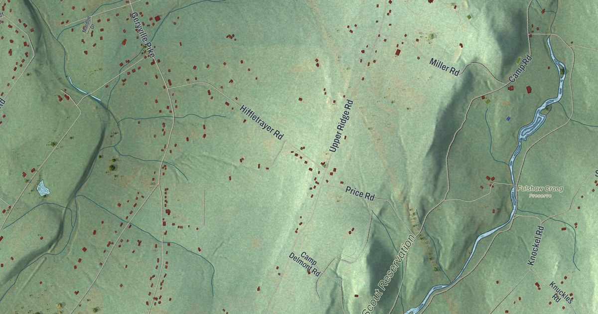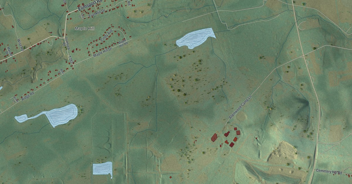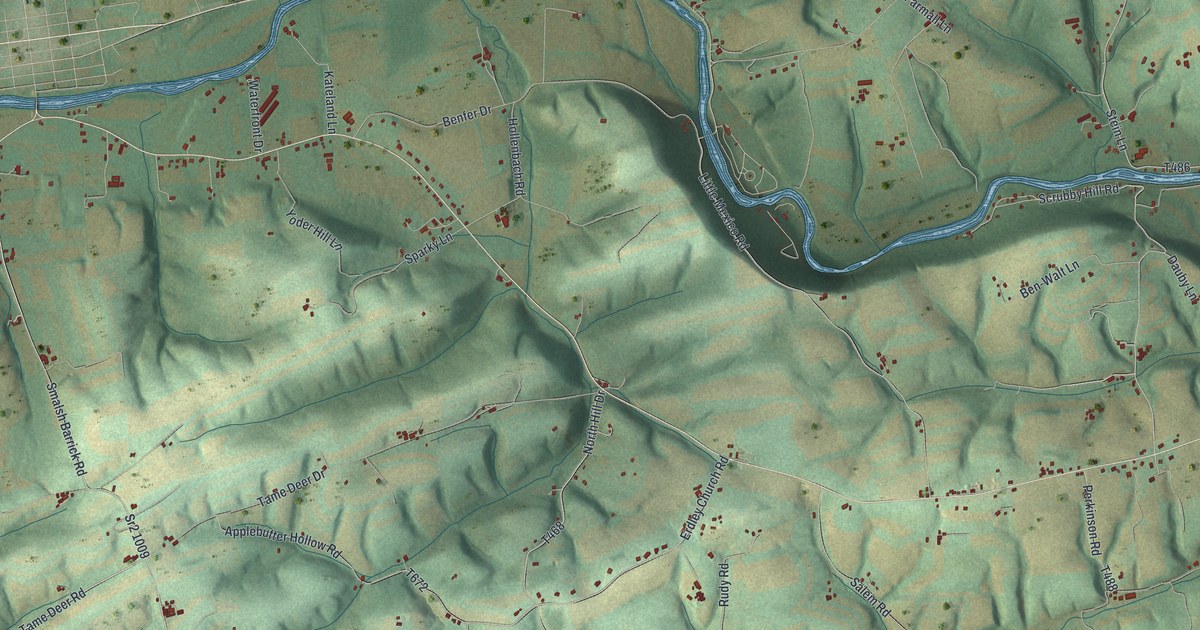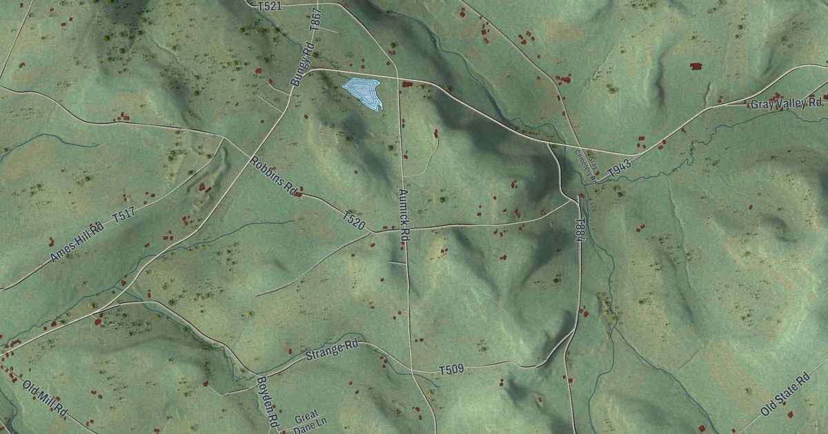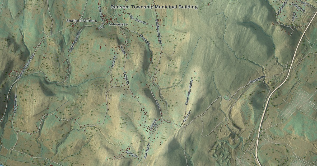
If you grew up in Ransom Township, or you still know the drive from Milwaukee down to the river, this map gives you plenty to find. It's a modern aerial view of Ransom Township in Lackawanna County, Pennsylvania, made from modern data and finished with a vintage look. A wide blue river bends down the left side. Green hills fill the middle, and buildings are marked in red. Milwaukee, Shaffers Corners and the Ransom Township Municipal Building are all named near the top.
Milwaukee Road, Shaffers Corners and Newton Ransom Boulevard
Start at the Ransom Township Municipal Building, near the top of the map. Milwaukee Road runs right past it. Follow it a short way and you'll reach Milwaukee, with Shaffers Corners just to the west. Hickory Lane and Spruce Drive branch off near the building. From Shaffers Corners, Newton Ransom Boulevard heads south and west down the hills. Dark Region Road and Cherry Hill Road both meet it on the way. At the bottom, the Boulevard meets Main Street, close to the river.
Main Street links Upper Narrows Road and Lower Narrows Road. Upper Narrows Road runs up along the river, and Railroad Drive sits nearby. Now take Lower Narrows Road to Ransom Road and head east. Ransom Road crosses the middle of the sheet. Ledge Drive, Rock Road and Three Ways Winds all branch off it. Red Oak Drive drops south to Spring Drive. Up in the top right, Beacon Drive, Community Drive and Lookout Drive sit near Division Street. Many roads are labeled, and each red shape is a building, so zoom in on the preview and look for yours.
Peleg Comstock, Twitchel's sawmill and Uncle Benny's grocery
An 1880 county history says Peleg Comstock came from Connecticut about the same time as the Gardners. He settled on land he "patented" near Gardner's creek. The first sawmill was built by a man named Twitchel. It stood across the creek from the gristmill.
For years, there was no other store here except Uncle Benny's grocery. Then in 1846, Abel and James Thompson built and opened one. It burned in 1855. These details come from the 1880 History of Luzerne, Lackawanna, and Wyoming Counties. Zoom in on the river and the green hills west of Milwaukee Road.
For someone who knows Milwaukee Road
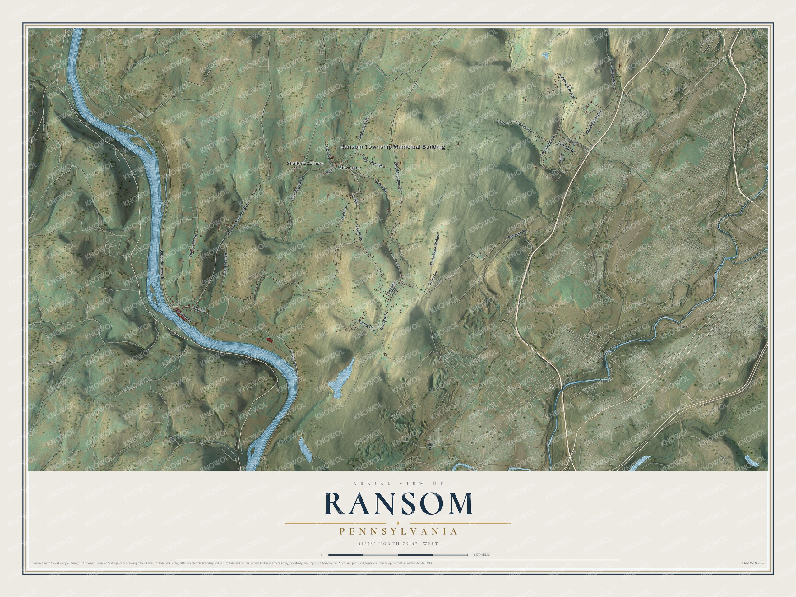
Created by KNOWOL in 2026, this Ransom map shows the hills in soft shaded greens, the river in pale blue and the buildings in red. The hill shading comes from USGS elevation data. The title panel reads "Aerial View of Ransom, Pennsylvania" with the coordinates 41°25' North, 75°47' West and a two-mile scale bar.
It suits an office, a den or a family room, anywhere someone can stop and trace a road home. It's a good gift for someone who grew up around Milwaukee or Shaffers Corners and has since moved away. Open the preview, zoom in and find the road you know. See sizes and frames for the Ransom map.