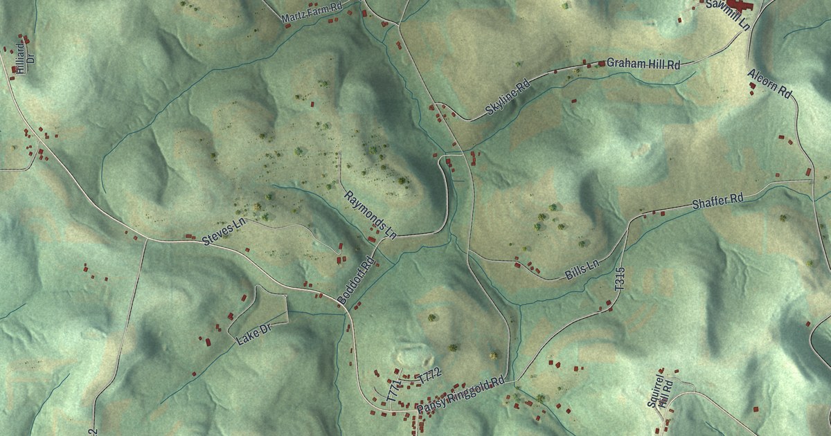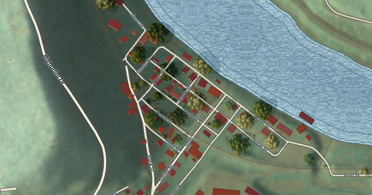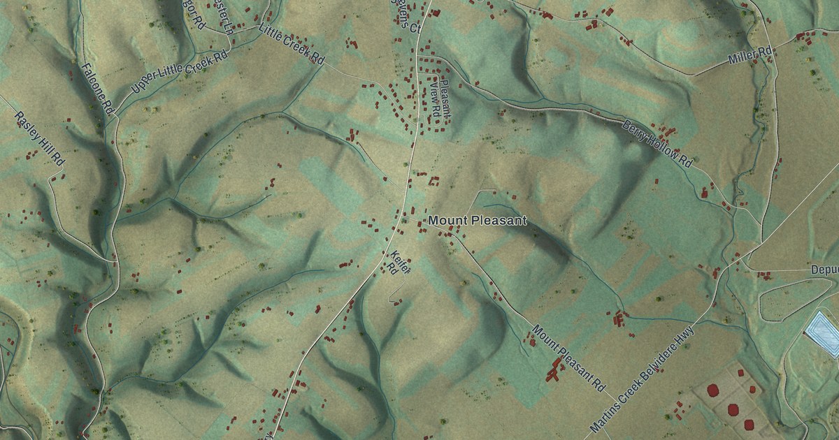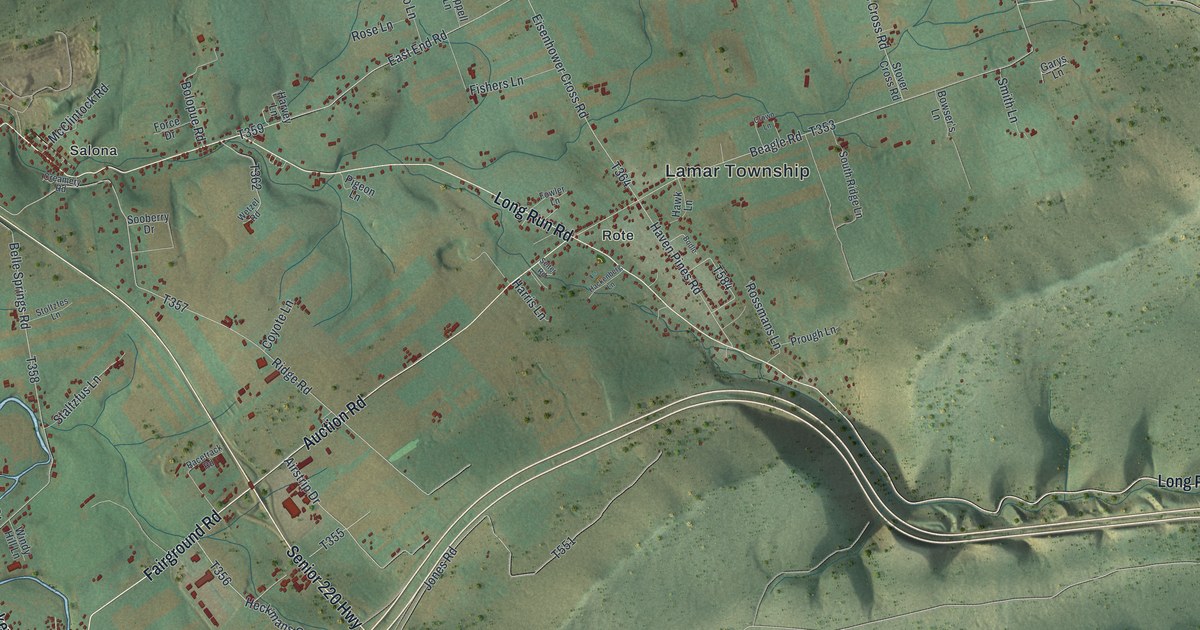
If you grew up in Republic, Merrittstown or Grindstone, or you still have family along the National Pike, this map is full of names you know. It's a modern aerial view of Redstone Township in Fayette County, Pennsylvania, made from modern data and given a vintage look. Green shaded hills fill the whole sheet, and more than 8,000 buildings are drawn in dark red. The National Pike cuts across from the top left to the bottom right, and a blue river curves through the top left corner.
Merrittstown, Stone Church Road and the National Pike
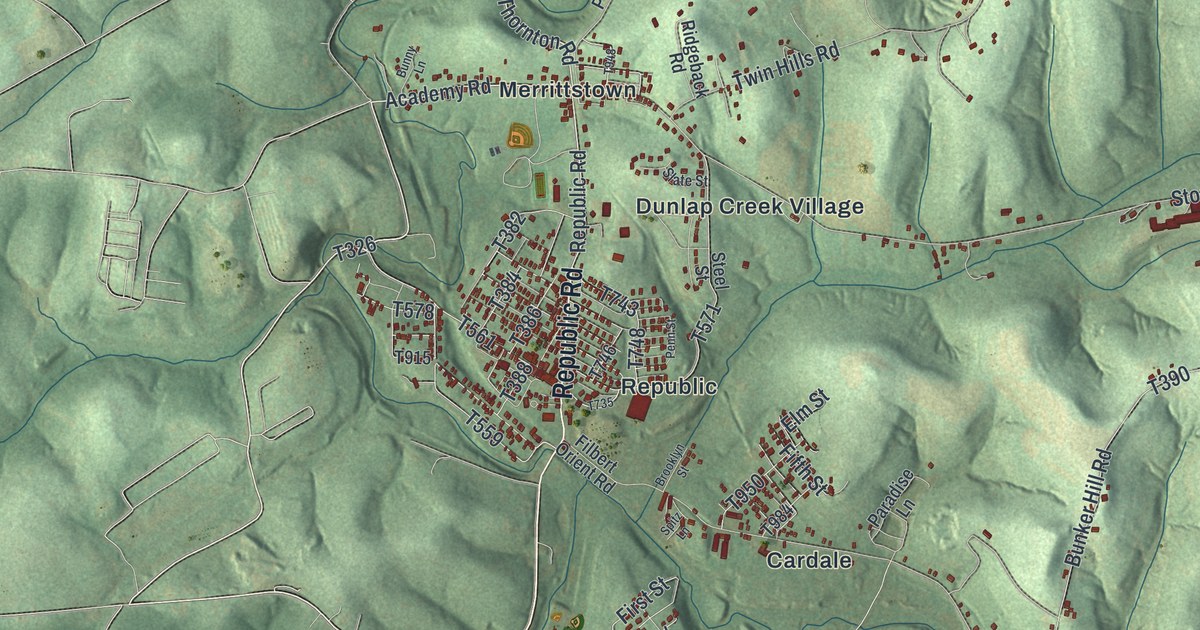
Start at Merrittstown on the left side of the map, where Academy Road meets Republic Road. Follow Republic Road south to Republic, where the red buildings sit close together. Just east of there, Dunlap Creek Village lines Stone Church Road. Now take Stone Church Road east past Tuckertown until it meets the National Pike. Turn northwest on the pike and you'll pass Brier Hill, Lafayette Memorial Park and Davidson.
Back at Republic, Filbert Orient Road heads southeast through Cardale and Orient, then on toward Filbert and Fairbank. Fairbank Herbert Road carries on east to Herbert. On the far left, High Street runs south past Tower Hill Number One and Thompson Number 1, and Thompson 1 Road goes on down to Hibbs. Up at the top, Grindstone Road runs east through Grindstone and Tippecanoe, and Braznell Road climbs to Braznell and Linn. Many of the roads are labeled, and each red shape is a building, so zoom in on the preview and look for yours.
Kroft's apple tree in the 1882 history
The 1882 History of Fayette County says Kroft's apple tree was still bearing fruit. It was claimed to be the largest apple tree in Fayette County. Look for Merrittstown on the left side of the map, where this tour began.
For families from Republic, Grindstone and Brier Hill
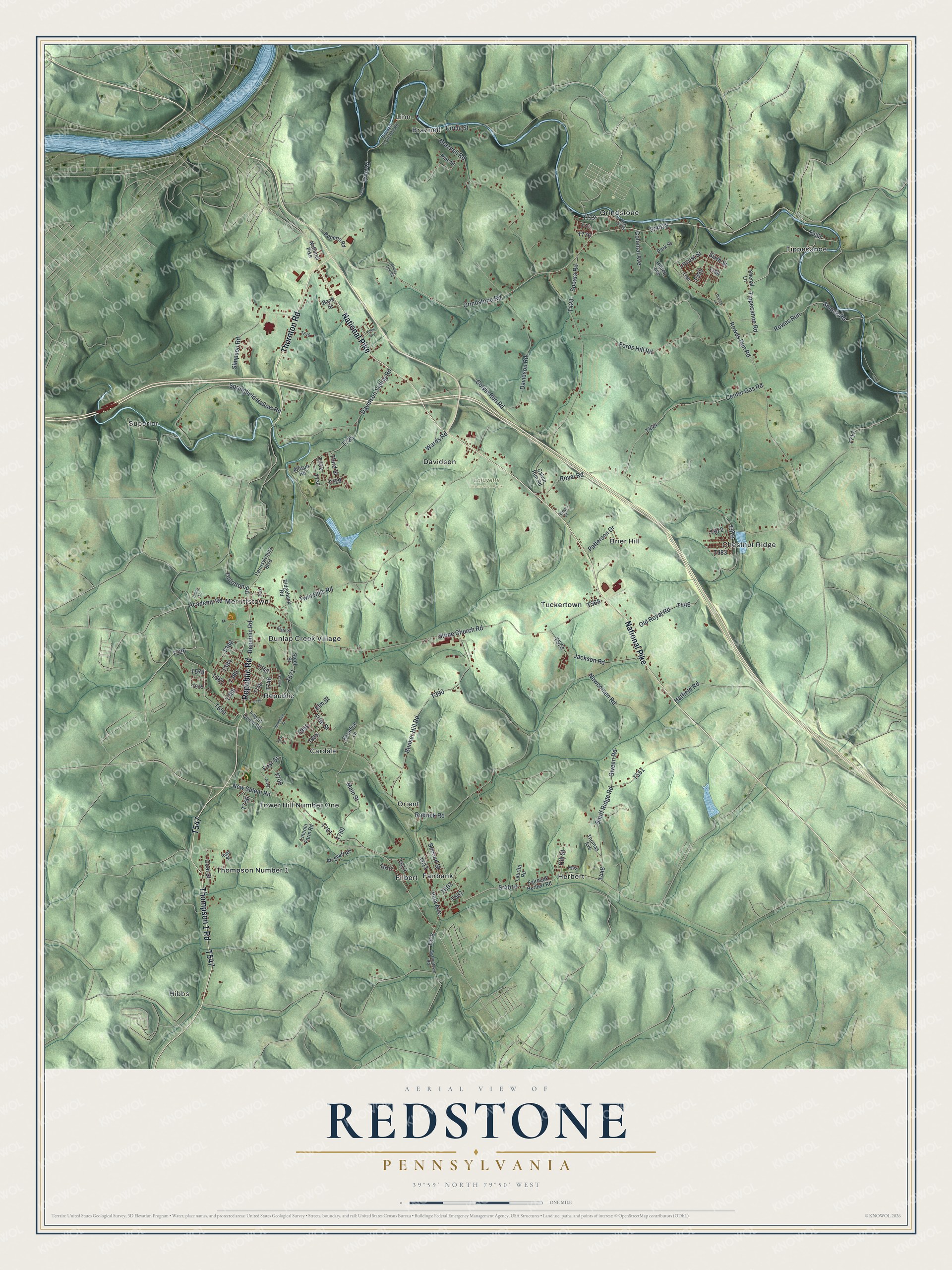
Created by KNOWOL in 2026, this map of Redstone Township shows the hills in soft green shading from USGS elevation data, with buildings drawn as small red shapes and creeks in blue. The title panel reads "Aerial View of Redstone, Pennsylvania" with the coordinates 39°59' North, 79°50' West and a one-mile scale bar.
It fits a den, a kitchen or a hallway where family can stop and find the old home place. It's a good gift for someone who grew up near Merrittstown or moved away from Republic. Open the preview, zoom in and trace a road you know. See sizes and frames for the Redstone map.