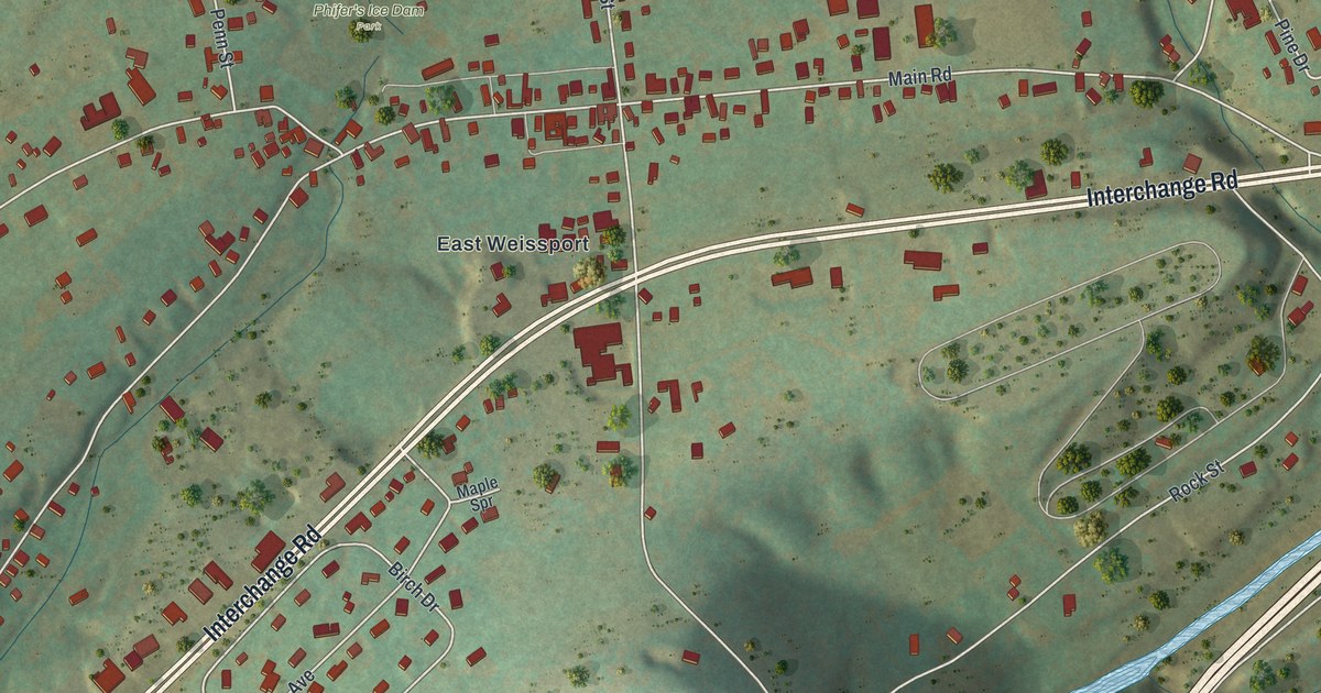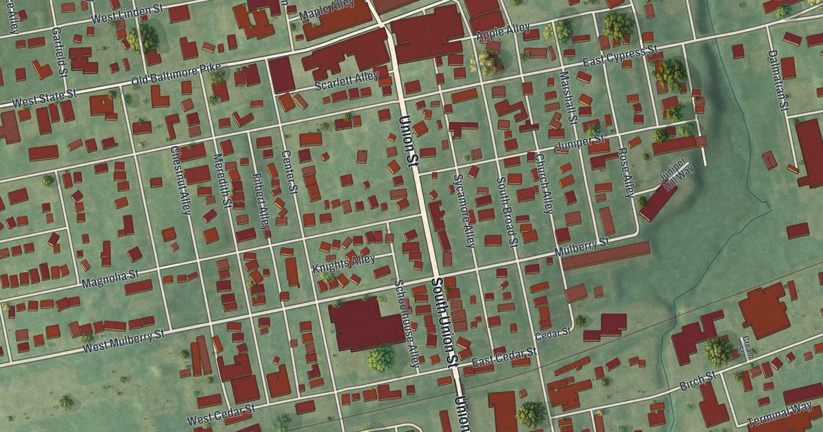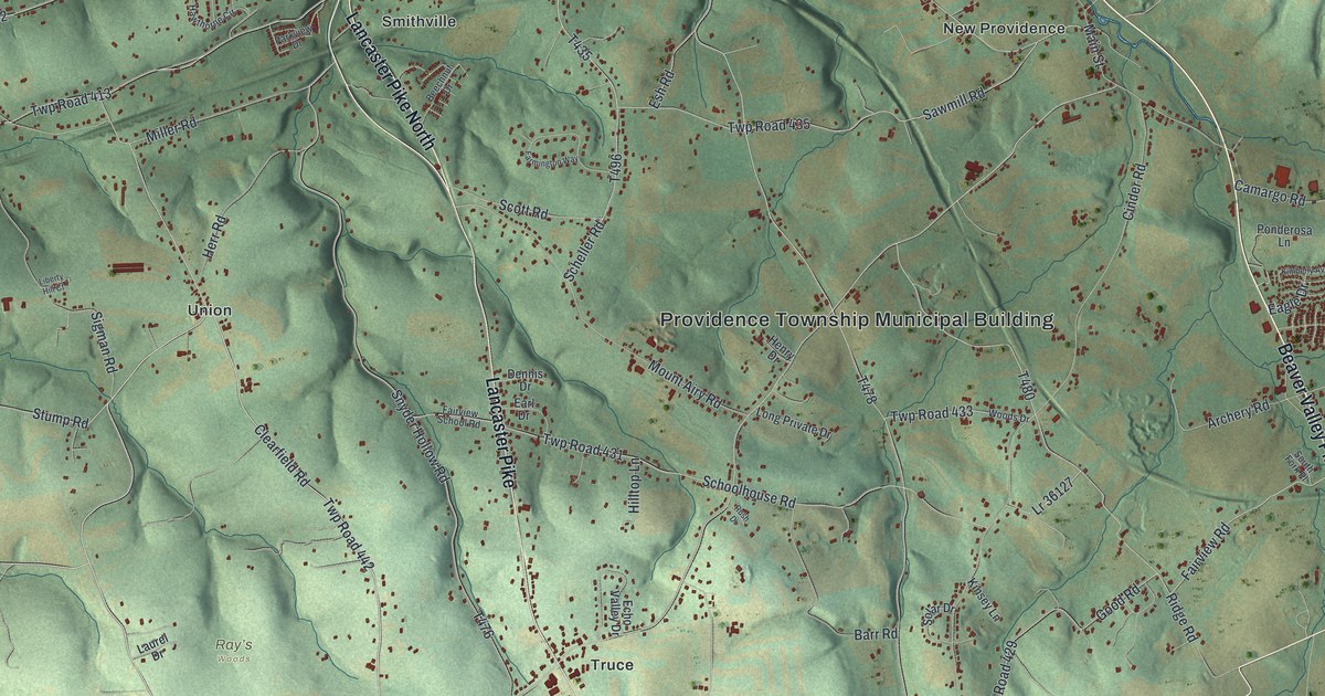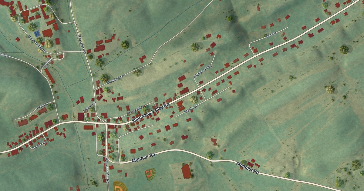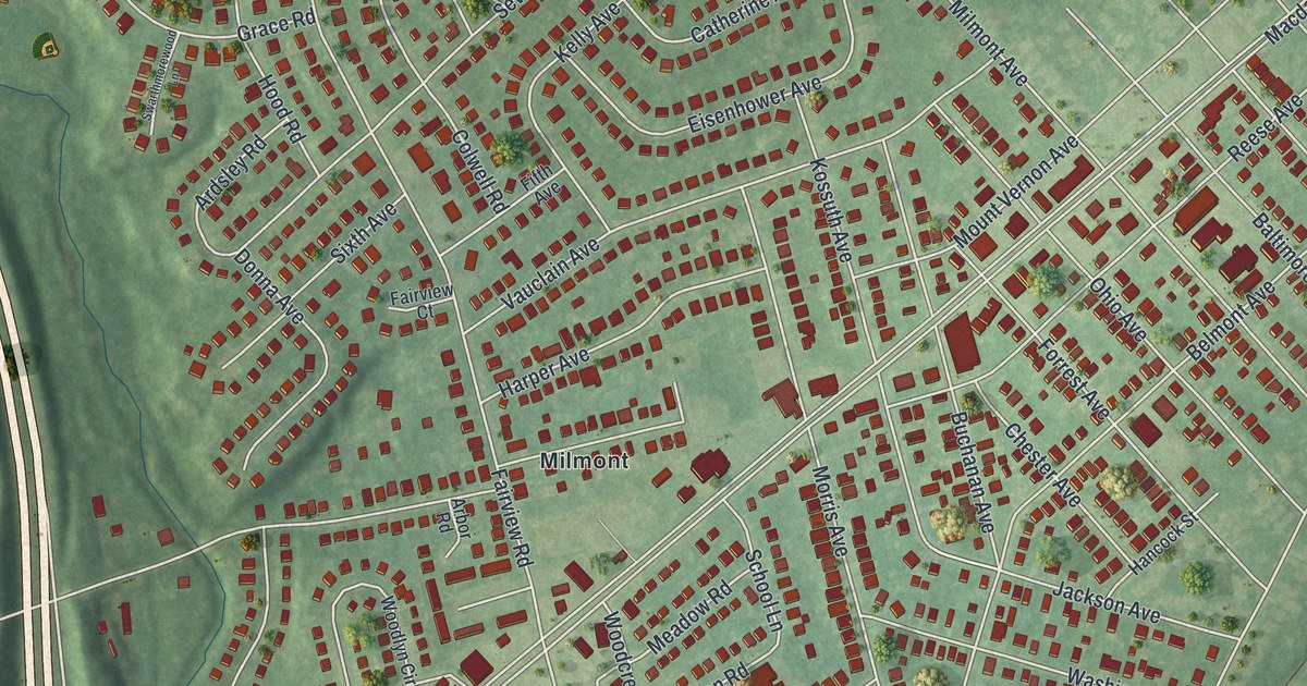
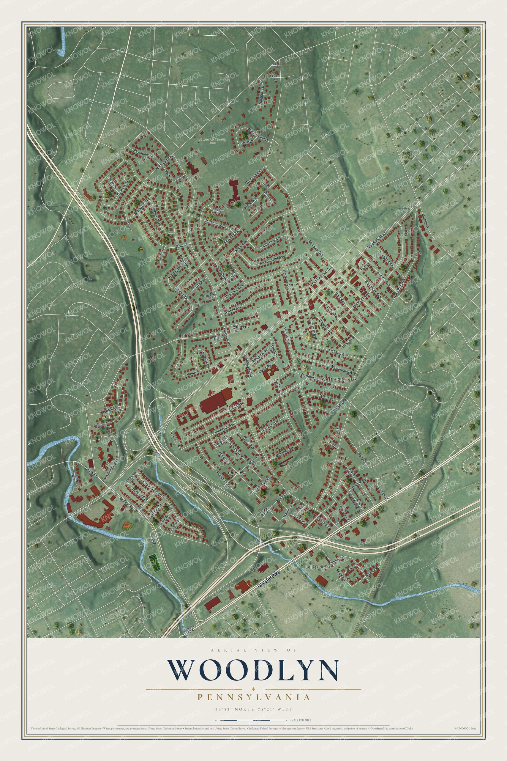
This beautifully detailed map of Woodlyn, Pennsylvania was created in 2026 using aerial imagery combined with modern topographical, census, street and landmark data. It's a modern aerial view of Woodlyn in Delaware County, Pennsylvania, that combines modern data with a vintage aesthetic. The roads feature printed names, and if you look closely you can find your exact house accurately shown in its correct location.
Explore an aerial view of Woodlyn, Pennsylvania
On this map you'll find Delaware County Park, Leiperville, West Ridley Park, Fairview, Milmont, Chester Pike, Macdade Boulevard, Bullens Lane, Irvings Road, Haverford Road, Youngs Avenue, Jefferson Avenue, and more. Each red shape is a building, so zoom in on the preview and look for yours.
Woodlyn is a community in Delaware County. The Census Bureau counted 9,685 people here in 2020. Woodlyn sits about 2 miles north of Eddystone, 2 miles south of Swarthmore and 2 miles southwest of Rutledge. The map prints the town name in its title panel, with the coordinates below it.
Take a closer look at the Woodlyn map
Names on this map
These names are printed on this map.
Places: Delaware County Park, Leiperville, West Ridley Park, Fairview and Milmont.
Streets and roads: Chester Pike, Macdade Boulevard, Bullens Lane, Irvings Road, Haverford Road, Youngs Avenue, Jefferson Avenue, Sherman Avenue, Fairview Road, Milmont Avenue, Michigan Avenue, Belmont Avenue.
More street names, A to Z
Adams Street, Arbor Road, Ardsley Road, Arlington Avenue, Balignac Avenue, Baltimore Avenue, Blackrock Road, Buchanan Avenue, Catherine Avenue, Chester Avenue, Colson Road, Colwell Road, Constitution Avenue, Conway Drive, Cottonwood Avenue, Creghan Avenue, Crum Creek Drive, Della Camera Avenue, Derwood Drive, Dolans Alley, Donna Avenue, Dorrett Street, Dougherty Drive, Duryea Drive, Eisenhower Avenue, Elmwood Avenue, Emlem Street, Emlen Street, Essex Avenue, Fairview Court, Fifth Avenue, Fizzano Street, Forrest Avenue, Freedom Road, Garfield Avenue, Gibbons Street, Grace Road, Grant Avenue, Greenway Road, Hancock Street, Harfman Drive, Harper Avenue, Holland Street, Hollis Avenue, Hood Road, Hunter Lane, Jackson Avenue, James Circle, Justice Road, Kelly Avenue, Kossuth Avenue, Lehigh Avenue, Liberty Road, Lukens Avenue, Meadow Road, Michigan, Mildred Avenue, Miller Street, Morris Avenue, Morris Circle, Morton Avenue, Mount Vernon Avenue, Ohio Avenue, Parklane Road, Penn Avenue, Plymouth Drive, Randall Avenue, Randall Street, Raymond Circle, Reese Avenue, Ridley Avenue, Ridley Mill Lane, Scenic Drive, Schiavello Drive, School Lane, Schoolside Lane, Seventh Avenue, Sixth Avenue, Sloan Street, Smiley Street, South Morris Avenue, South Taylor Avenue, Swarthmorewood Lane, Taylor Avenue, Toth Drive, Tyler Avenue, Valley Road, Vauclain Avenue, Virginia Avenue, Walter Street, Washington Avenue, West Circle, West Crum Creek Drive, West Road, Willow Bend Drive, Wilson Avenue, Woodcrest Road, Woodland Avenue, Woodlyn Circle, Worrall Street, Yates Avenue.
See it on a wall
The Woodlyn map as a framed print. Swipe for more.


Created by KNOWOL in 2026. The buildings are small red shapes, the roads carry their printed names, and shaded relief shows the shape of the land. The title panel reads "AERIAL VIEW OF WOODLYN, PENNSYLVANIA" with 39°53' NORTH 75°21' WEST.
Hang it in the hallway, the office or the cabin, or give it to someone who left Woodlyn and still calls it home. Open the preview and look for a street you know. See sizes and frames for the Woodlyn map.