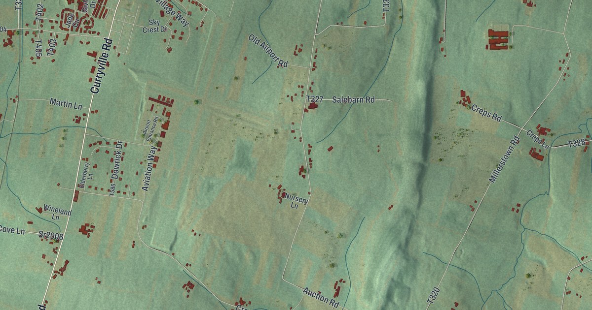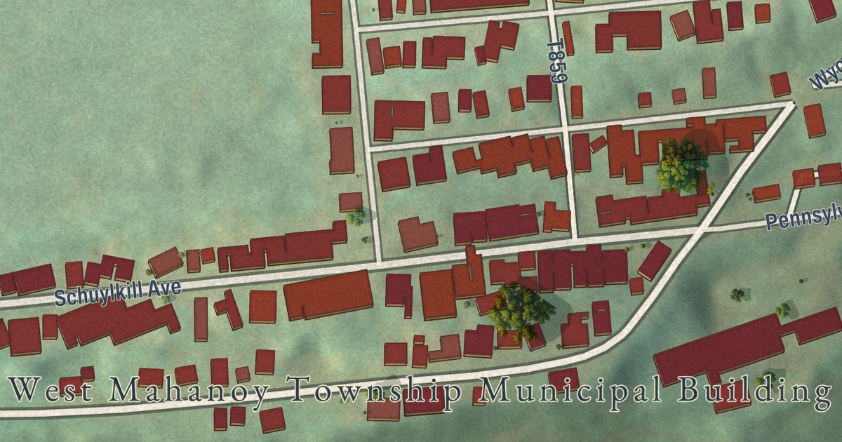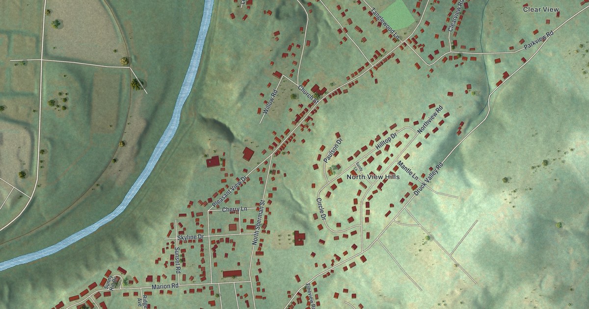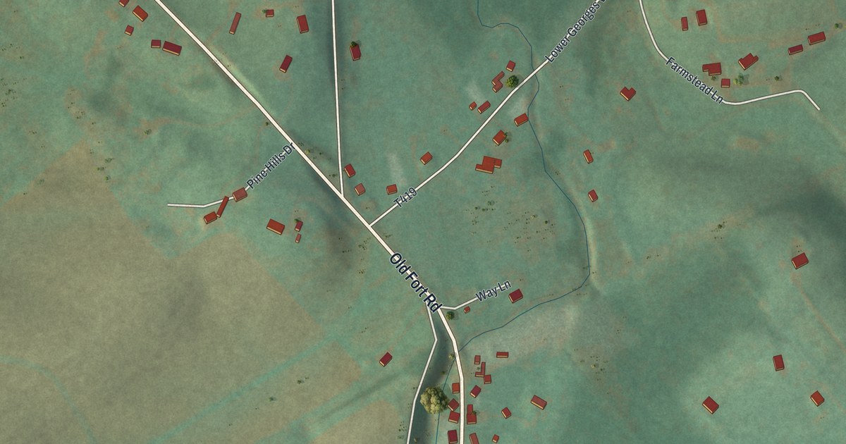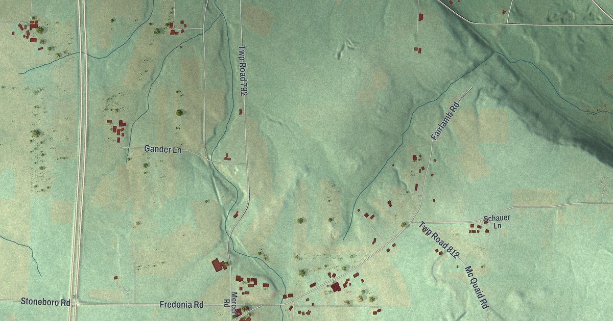
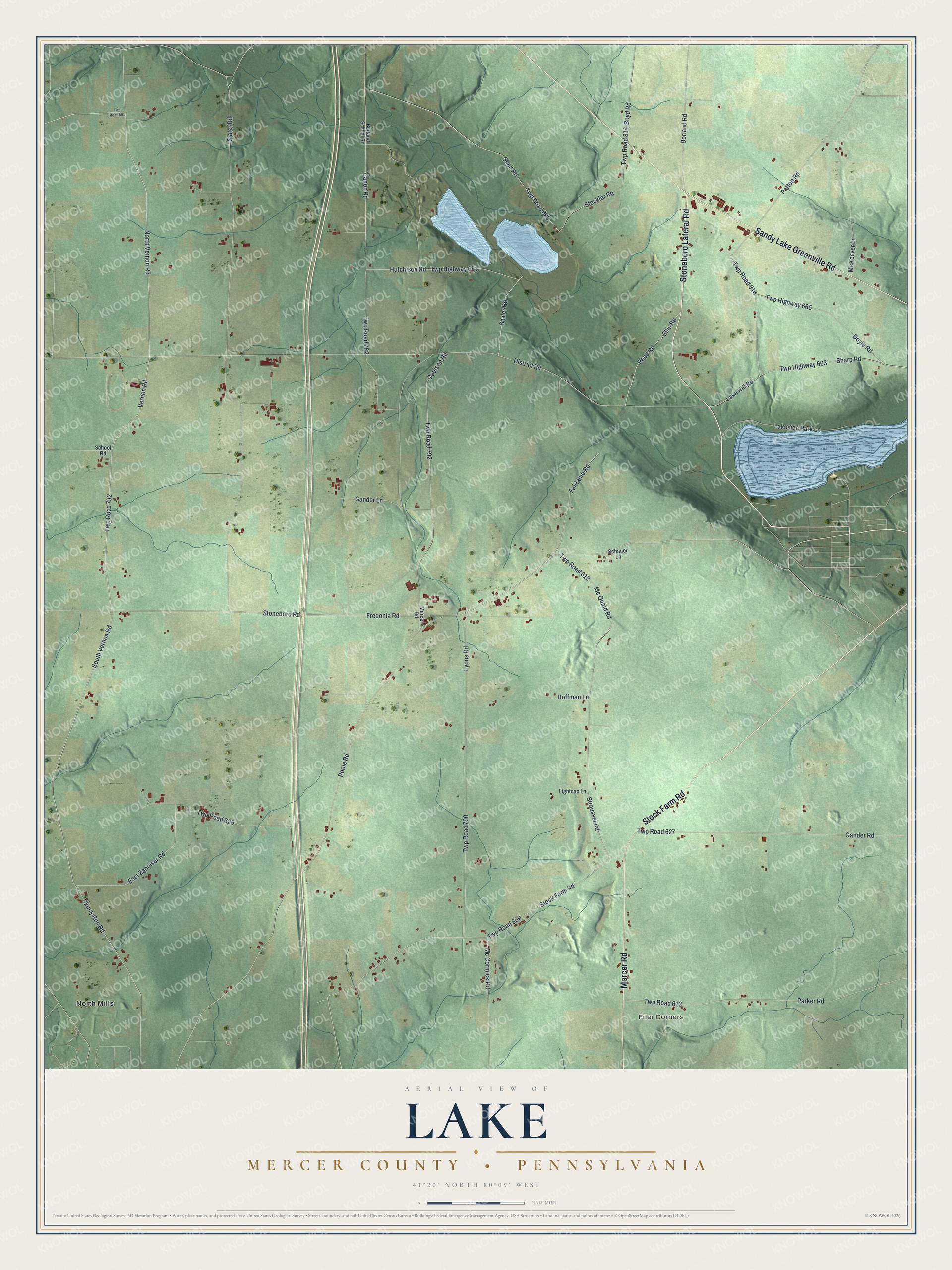
This beautifully detailed map of Lake, Mercer County, Pennsylvania was created in 2026 using aerial imagery combined with modern topographical, census, street and landmark data. It’s a one-of-a-kind view of Lake that combines accurate data with a vintage aesthetic. The map shows every building in its true location, many of the roads carry their names, and the shaded topographic relief shows the shape of the land.
Explore an aerial view of Lake, Mercer County, Pennsylvania
On the map you’ll find Filer Corners and North Mills, along with Mercer Road, Sandy Lake Greenville Road, Stoneboro Lateral Road, Stock Farm Road, Fredonia Road, Stoneboro Road, Vernon Road, North Vernon Road, South Vernon Road, Twp Highway 663, and more. If you look closely you can even find your house accurately drawn in its correct location. Zoom in on the preview to look for yours.
Did you know this piece of Lake, Mercer County, Pennsylvania history?
From the 1888 History of Mercer County, Pennsylvania: "An occasional bear was seen in early days, and also upon one or two occasions a panther."
Take a closer look at the Lake, Mercer County map
Street and place names on the Lake, Mercer County, Pennsylvania map
These names are printed on the map of Lake, Mercer County, Pennsylvania.
Places: Filer Corners and North Mills.
Streets and roads: Mercer Road, Sandy Lake Greenville Road, Stoneboro Lateral Road, Stock Farm Road, Fredonia Road, Stoneboro Road, Vernon Road, North Vernon Road, South Vernon Road, Twp Highway 663, Lake Hill Road, Slater Road.
More street names, A to Z
Borland Road, Borland School Road, Boyd Road, Canon Road, Coulson Road, District Road, Doyle Road, East Zahniser Road, Ellis Road, Fairlamb Road, Gander Lane, Gander Road, Hoffman Lane, Hutchison Road, Lakeside Park Lane, Lightcap Lane, Lyons Road, Mc Cormick Road, McKeever Lane, Mc Quaid Road, Parker Road, Patton Road, Poole Road, Reed Road, Schauer Lane, School Road, Sharp Road, Shell Road, Shuler Road, Skunk Run Road, Steckler Road, Strausser Road, Twp Highway 661, Twp Highway 665, Twp Road 609, Twp Road 613, Twp Road 625, Twp Road 627, Twp Road 691, Twp Road 695, Twp Road 732, Twp Road 762, Twp Road 790, Twp Road 792, Twp Road 812, Twp Road 814, Twp Road 816.
See the Lake, Mercer County, Pennsylvania map on a wall
The Lake, Mercer County map as an 18 x 24 inch print in a black frame.

This beautifully detailed map of Lake, Mercer County makes an attractive addition to your office, library, or den, and it can even be used to teach children the geography and history of the area. It also makes a great gift for anyone who grew up in Lake or moved away. When you’re done exploring, click here to get your copy of the Lake, Mercer County map.