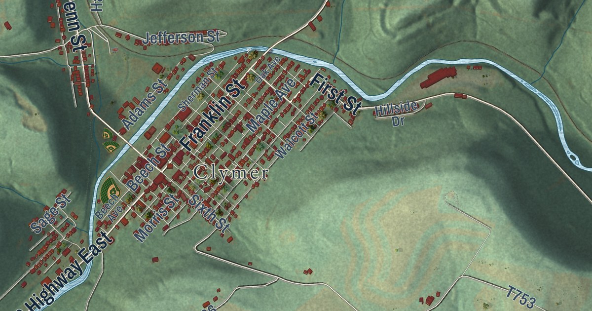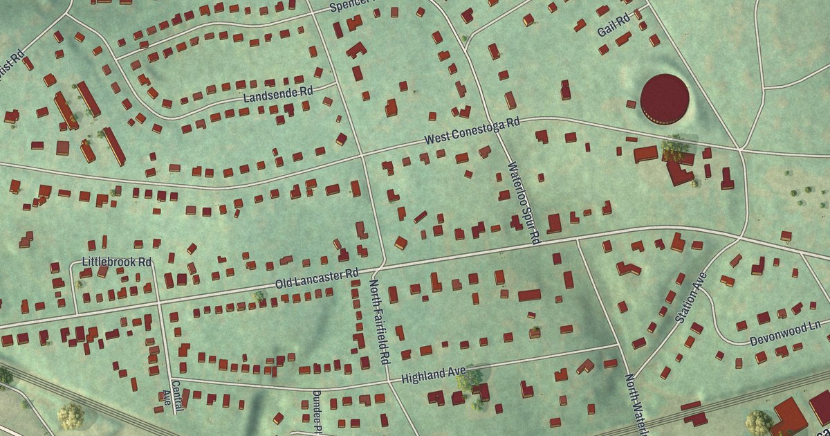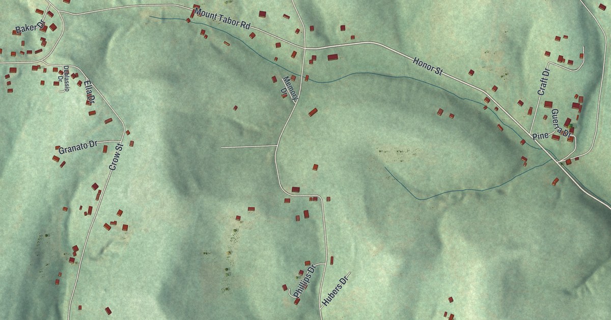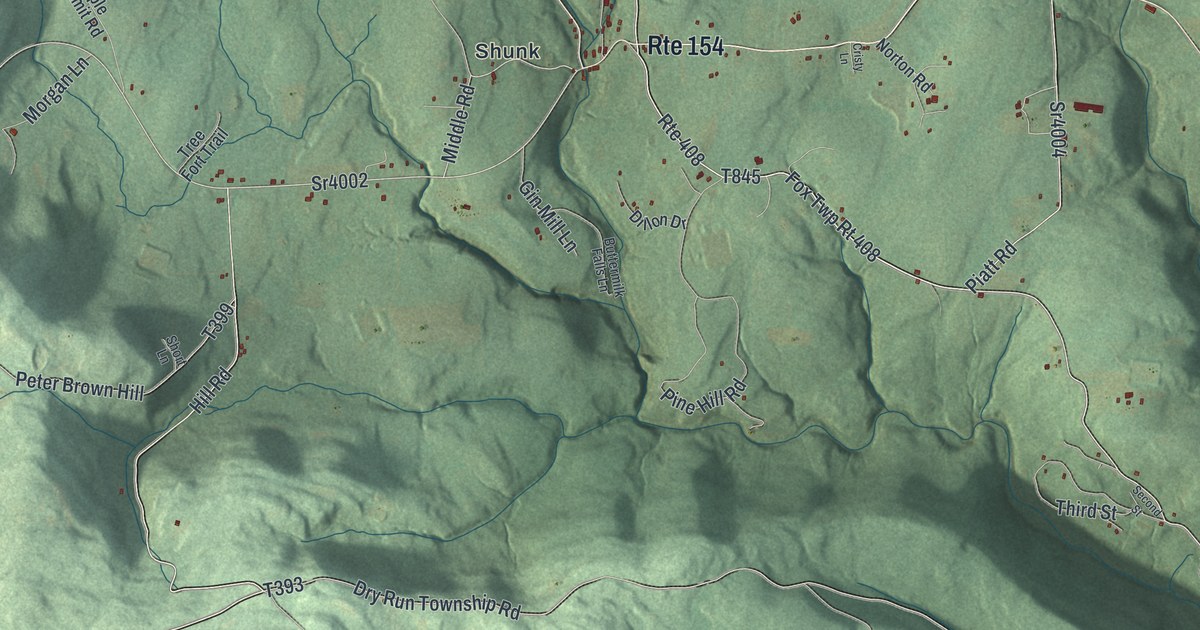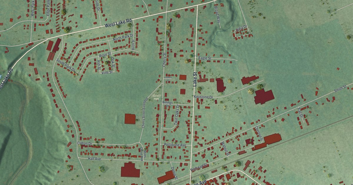
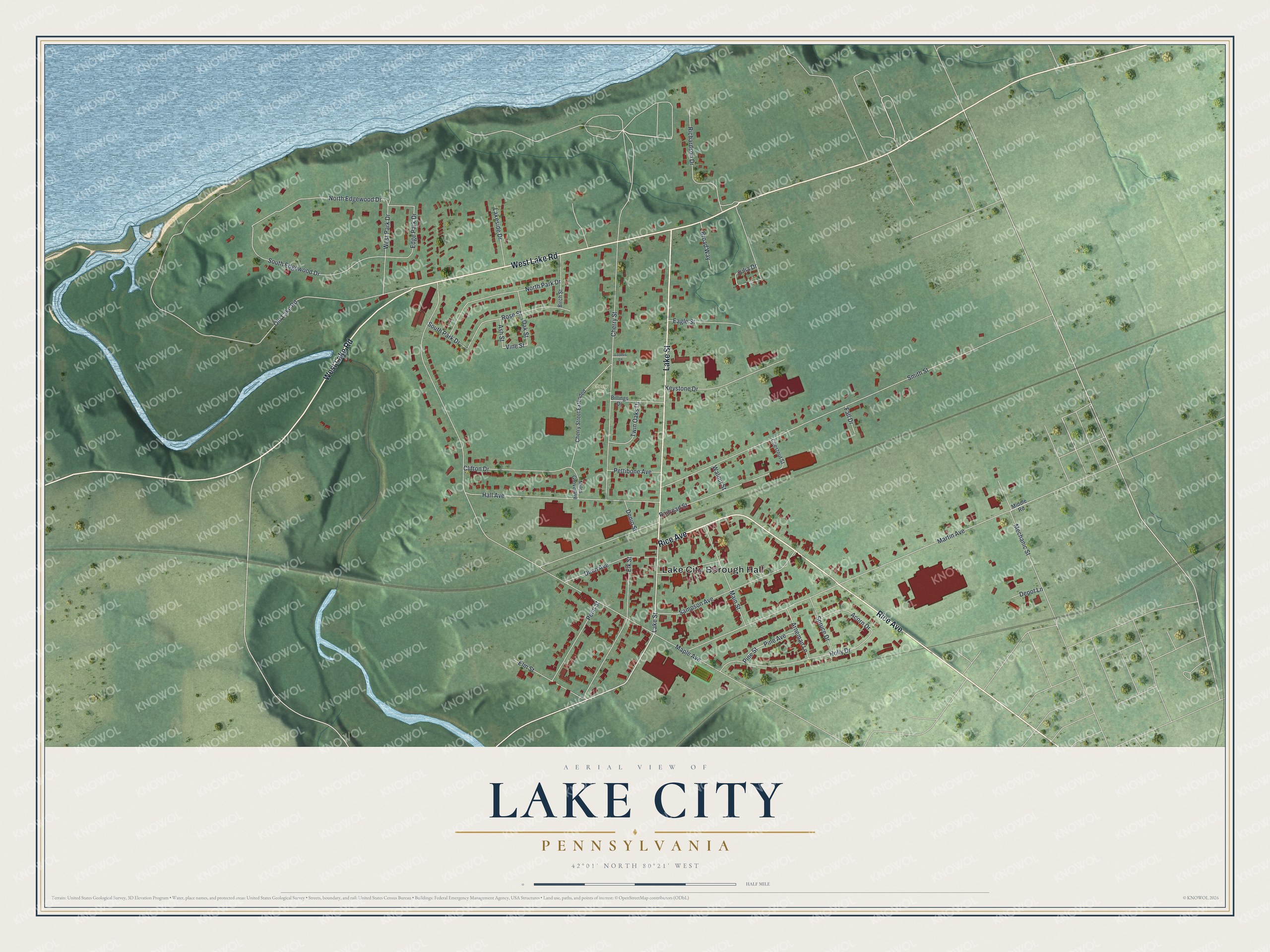
This beautifully detailed map of Lake City, Pennsylvania was created in 2026 using aerial imagery combined with modern topographical, census, street and landmark data. It’s a one-of-a-kind view of Lake City that combines accurate data with a vintage aesthetic. The map shows every building in its true location, many of the roads carry their names, and the shaded topographic relief shows the shape of the land.
Explore an aerial view of Lake City, Pennsylvania
On the map you’ll find Lake City Borough Hall and Cherry Park, along with West Lake Road, Rice Avenue, Lake Street, Vine Street, Maple Avenue, Martin Avenue, Smith Street, Railroad Street, Cherry Street, Hall Avenue, and more. If you look closely you can even find your house accurately drawn in its correct location. Zoom in on the preview to look for yours.
Did you know this piece of Lake City, Pennsylvania history?
Lake City, in Erie County, began in 1850 as Girard Station, a stop named by the Lake Shore Railroad. It was later called Milesgrove. Early in the 1900s it became North Girard, since some citizens felt a town with Grove in its name would never amount to anything. It took the name Lake City in 1954. That’s from the Lake City Borough.
Take a closer look at the Lake City map
Street and place names on the Lake City, Pennsylvania map
These names are printed on the map of Lake City, Pennsylvania.
Places: Lake City Borough Hall and Cherry Park.
Streets and roads: West Lake Road, Rice Avenue, Lake Street, Vine Street, Maple Avenue, Martin Avenue, Smith Street, Railroad Street, Cherry Street, Hall Avenue, Holly Drive, North Edgewood Drive.
More street names, A to Z
Acorn Drive, Arneman Lane, Ash Street, Billings Drive, Birch Street, Broad Way, Cherry Street Extended, Chestnut Street, Clifton Drive, Denio Street, Depot Lane, Dunn Avenue, Eagle Street, Edge Park Drive, Elk Street, Elm Street, Fall Drive, Julia Drive, Keystone Drive, Lakeside Drive, Loomis Lane, Main Street, Mechanic Street, Middle Road, Miles Grove Avenue, North Park Drive, Oak Street, Old Lake Road, Penn Street, Pettibone Avenue, Pine Avenue, Pine Street, Richardson Drive, Rose Street, Sampson Avenue, South Edgewood Drive, South Park Drive, Spruce Drive, Twin Oaks Drive, Walnut Street, West Park Drive.
See the Lake City, Pennsylvania map on a wall
The Lake City map as an 18 x 24 inch print in a black frame.

This beautifully detailed map of Lake City makes an attractive addition to your office, library, or den, and it can even be used to teach children the geography and history of the area. It also makes a great gift for anyone who grew up in Lake City or moved away. When you’re done exploring, click here to get your copy of the Lake City map.