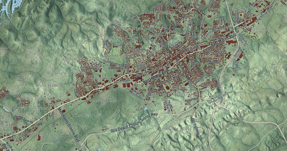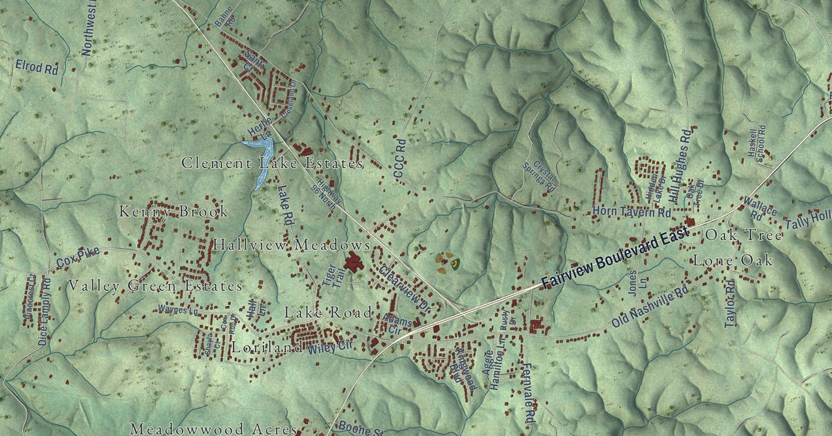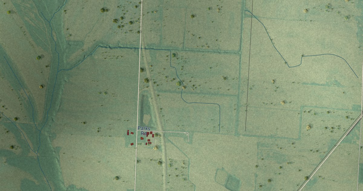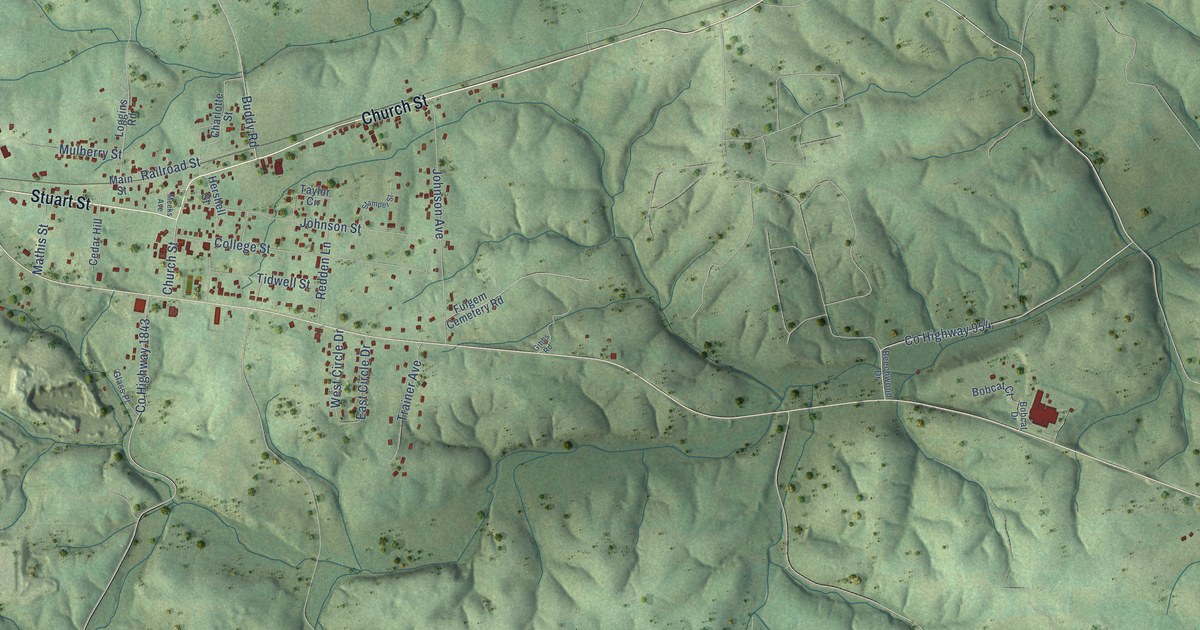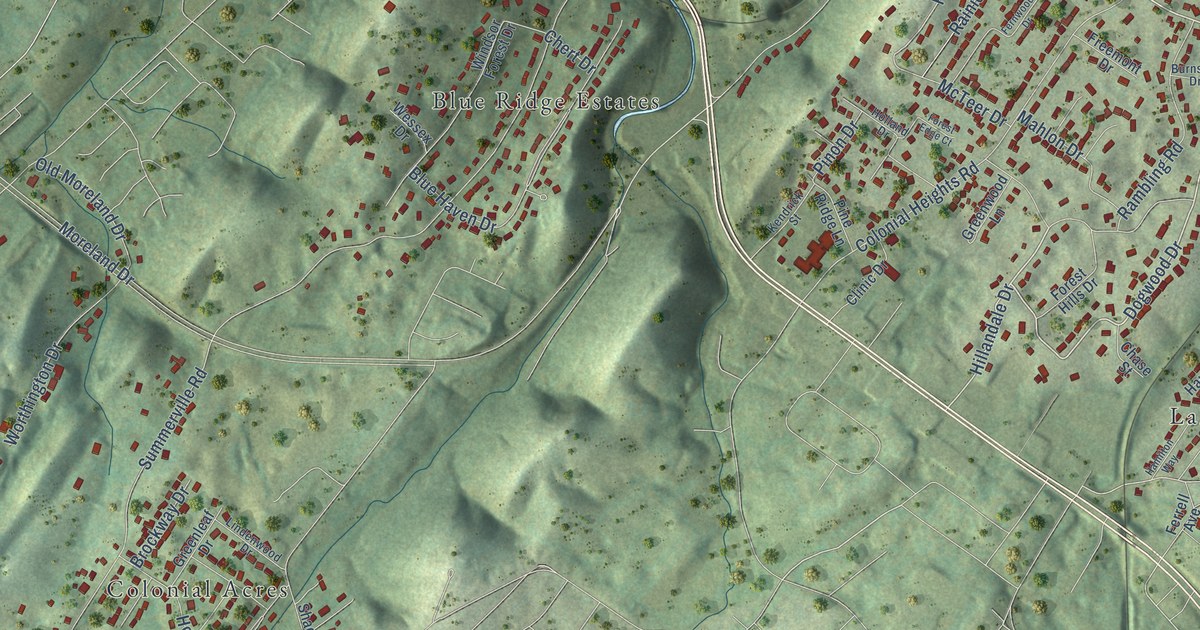
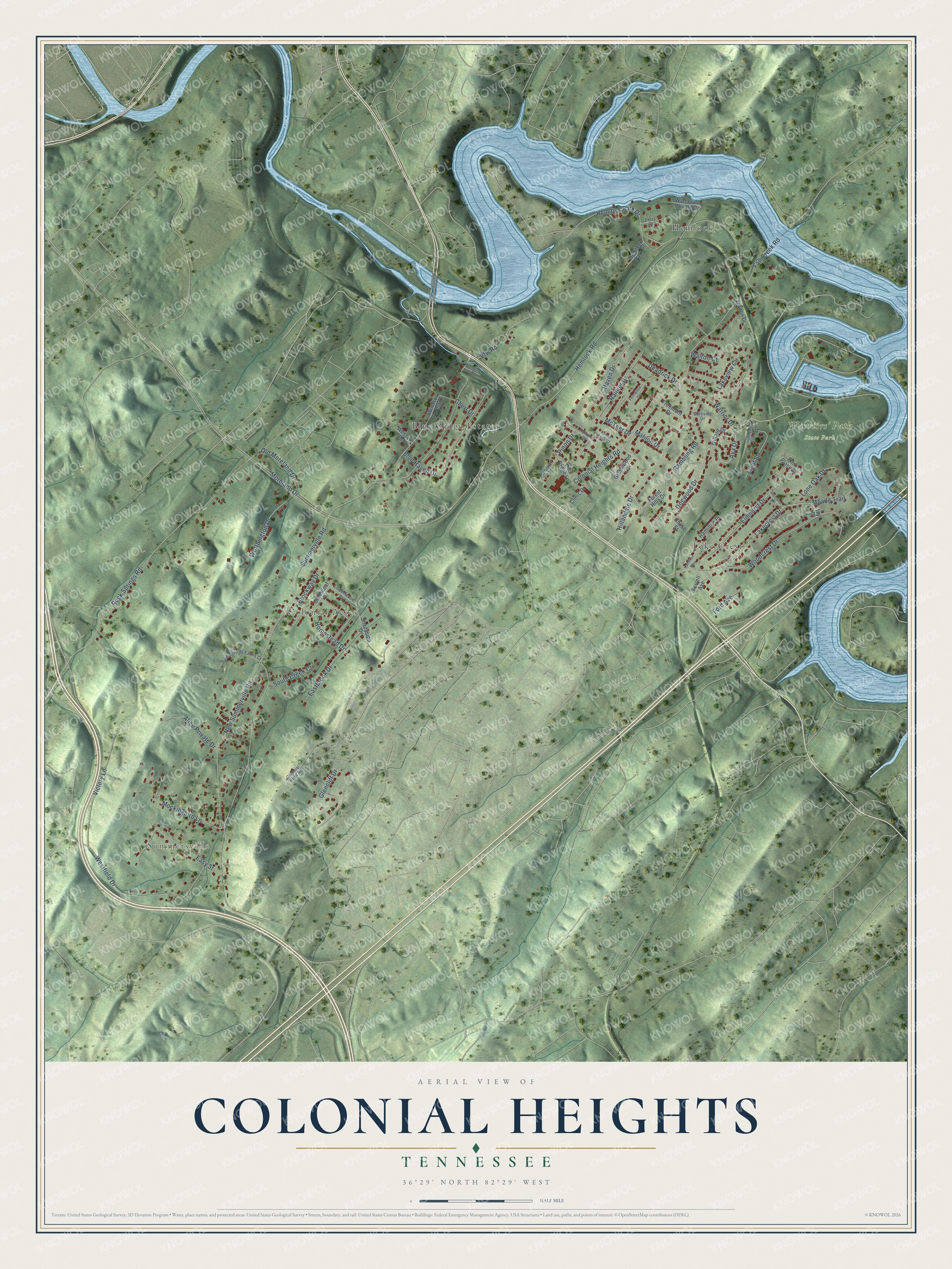
This beautifully detailed map of Colonial Heights, Tennessee was created in 2026 using aerial imagery combined with modern topographical, census, street and landmark data. It's a modern aerial view of Colonial Heights in Sullivan County, Tennessee, that combines modern data with a vintage aesthetic. The roads feature printed names, and if you look closely you can find your exact house accurately shown in its correct location.
Explore an aerial view of Colonial Heights, Tennessee
On this map you'll find Summersville, Warriors' Path State Park, Colonial Acres, Blue Ridge Estates, Hemlock, Lake Crest, Dogwood Drive, Ava Drive, Warrior Drive, Hillandale Drive, Lakecrest Drive, Lakeview Circle, and more. Each red shape is a building, so zoom in on the preview and look for yours.
Colonial Heights has a story worth telling. Warriors' Path State Park was established in 1952 on land that had mostly been farmland. It takes its name from the Great Cherokee War and Trading Path, a route Native Americans used for centuries. The park also holds grades and culverts from the 3C's Railroad, a line begun in the late 1800s and abandoned after bankruptcy. That's from the Tennessee State Parks system.
Colonial Heights is a community in Sullivan County. The Census Bureau counted 3,055 people here in 2020.
Take a closer look at the Colonial Heights map
Names on this map
These names are printed on this map.
Places: Summersville, Warriors' Path State Park, Colonial Acres, Blue Ridge Estates, Hemlock and Lake Crest.
Streets and roads: Dogwood Drive, Ava Drive, Warrior Drive, Hillandale Drive, Lakecrest Drive, Lakeview Circle, Haven Drive, Summerville Road, Hemlock Road, Colonial Heights Road, Rock Springs Road, Moreland Drive.
More street names, A to Z
Alice Private Drive, Blue Haven Drive, Brockway Drive, Burnside Drive, Chase Street, Chert Drive, Clinic Drive, Colonial View Road, Deadrick Drive, Eastbrook Drive, Easy Street, Elmhurst Drive, Fall Creek Road, Fernwood Drive, Ferrell Avenue, Ferry Drive, Ford Avenue, Forest Edge Court, Forest Hills Drive, Freemont Drive, Glencliff Drive, Greenleaf Drive, Greenwood Lane, Hamilton Place, Hamilton Way, Hemlock Park Drive, Hemlock Park Place, Holland Drive, Homestead Drive, Ivy Drive, Kendrick Drive, Kendrick Street, Light Street, Light Street Extended, Lindenwood Drive, Lone Oak Drive, Mahlon Drive, McTeer Drive, Meade Trail, Mockingbird Lane, New Summerville Road, Old Moreland Drive, Park Place Drive, Pine Ridge Lane, Pinon Drive, Rainier Drive, Rambling Road, Richland Drive, Shadyside Drive, South Creek Court, Summerville Farms Court, Vfw Road, Victory Lane, Walton Court, Walton Drive, Waterside Private Drive, Wessex Drive, Westfield Drive, Willard Drive, Windsor Forest Drive, Woodcrest Drive, Worthington Drive.
See it on a wall
The Colonial Heights map as a framed print. Swipe for more.


Created by KNOWOL in 2026. The buildings are small red shapes, the roads carry their printed names, and shaded relief shows the shape of the land. The title panel reads "AERIAL VIEW OF COLONIAL HEIGHTS, TENNESSEE" with 36°29' NORTH 82°29' WEST.
It looks right in a kitchen, an office or a den, and it's a gift for anyone who grew up in Colonial Heights or moved away. Open the preview and find your street. See sizes and frames for the Colonial Heights map.