Tennessee Map Prints
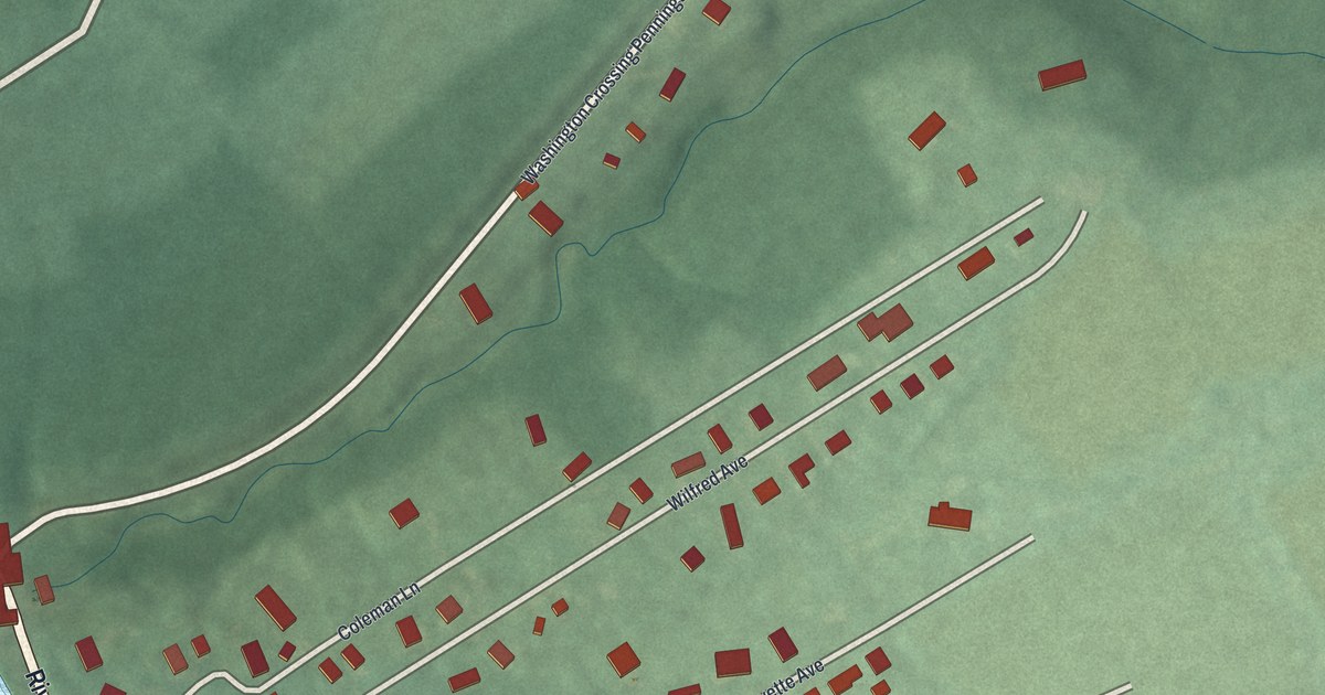
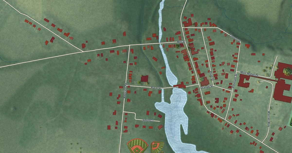
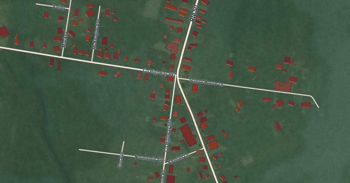
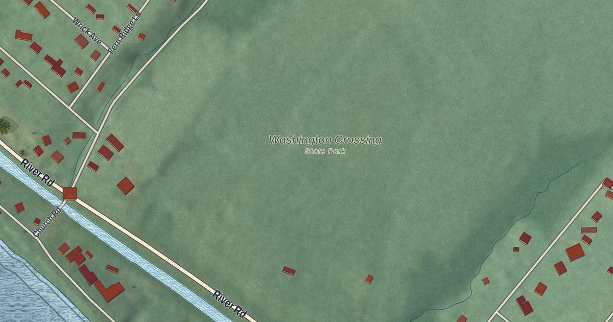
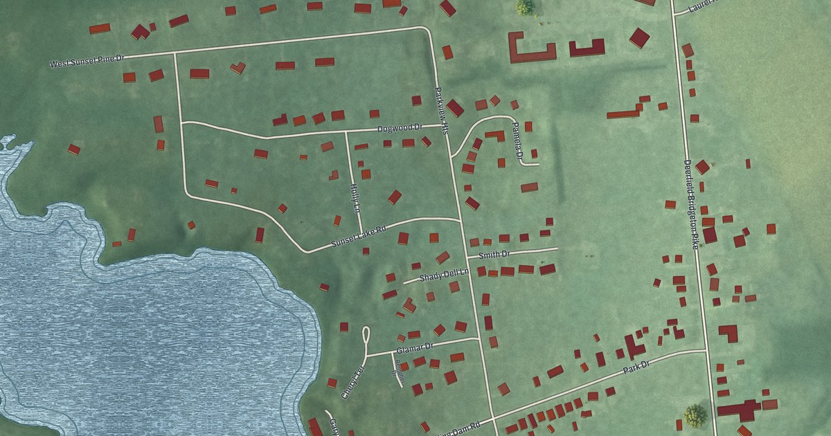
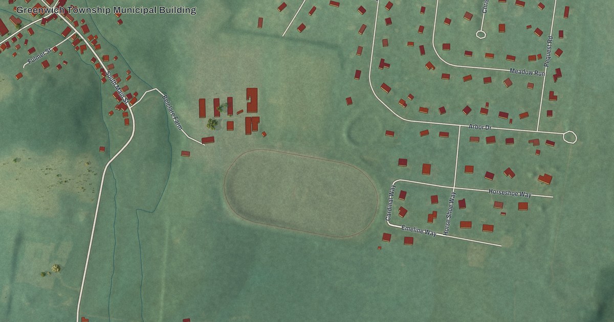
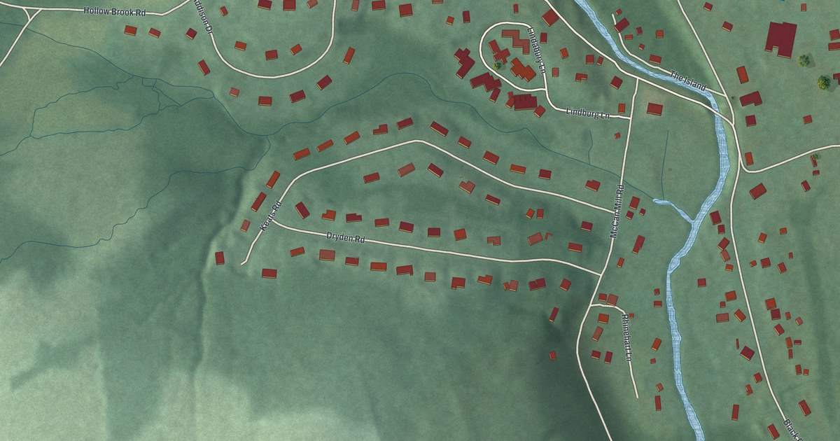
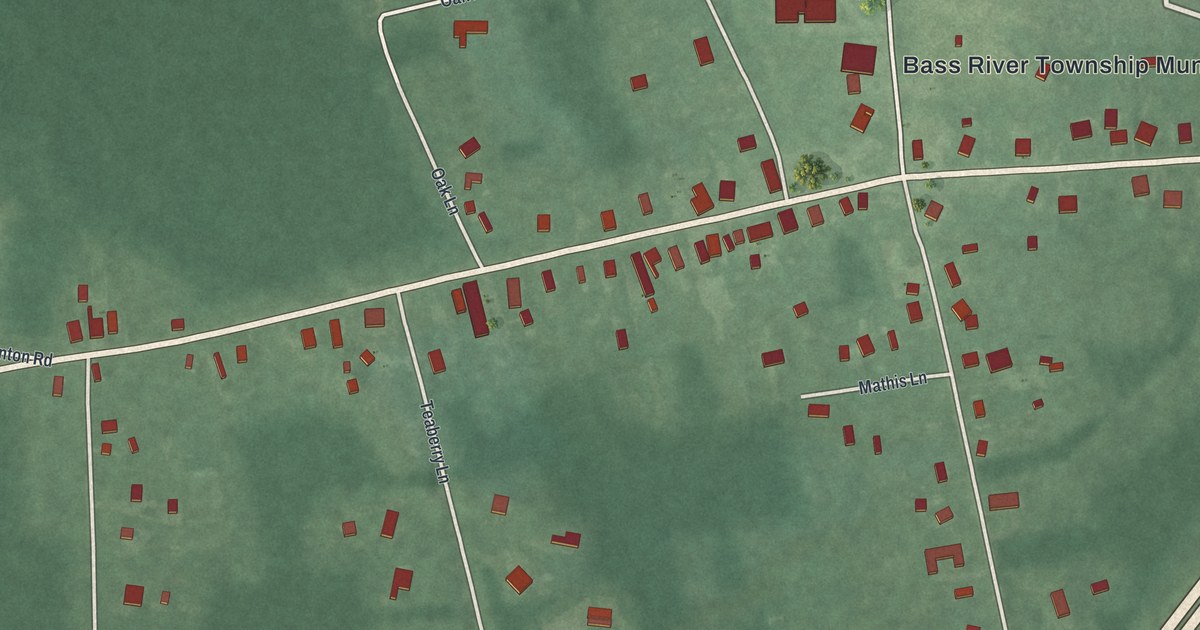
We make detailed maps of Tennessee towns, the way they look today. Type yours and see its map.
Or pick a county on the map.
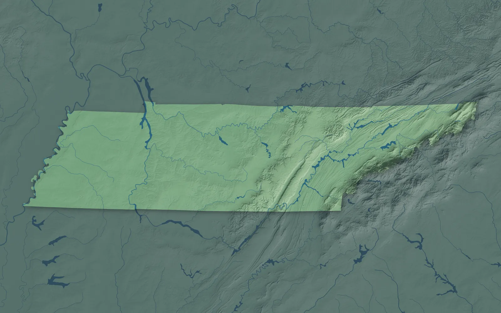
A town mapPick a county to look closer.
Tennessee Towns by County
413 town maps in 95 counties. Open one to see its towns.
Anderson County5
Bedford County5
Bledsoe County1
Campbell County5
Cannon County2
Cheatham County4
Claiborne County4
Clay County1
Cocke County3
Coffee County4
Crockett County5
Cumberland County5
Davidson County5
DeKalb County4
Decatur County2
Fentress County4
Franklin County6
Giles County5
Grainger County3
Greene County4
Hamblen County2
Hamilton County18
Hancock County1
Haywood County2
Henderson County4
Henry County4
Hickman County3
Houston County2
Humphreys County3
Jackson County2
Johnson County1
Lake County2
Lawrence County4
Lewis County1
Lincoln County3
Loudon County5
Macon County2
Marshall County3
Maury County3
McNairy County10
Meigs County1
Monroe County5
Montgomery County1
Moore County1
Overton County1
Perry County2
Pickett County1
Polk County4
Putnam County4
Rhea County3
Robertson County9
Rutherford County6
Scott County3
Sevier County5
Smith County3
Stewart County2
Sullivan County8
Sumner County8
Trousdale County1
Unicoi County3
Union County3
Van Buren County1
Warren County4
Washington County5
Wayne County3
Weakley County5
Williamson County5
Don’t see your town? Ask us to draw it.
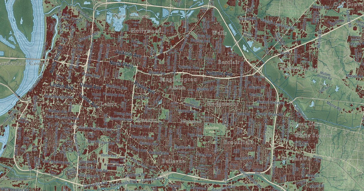
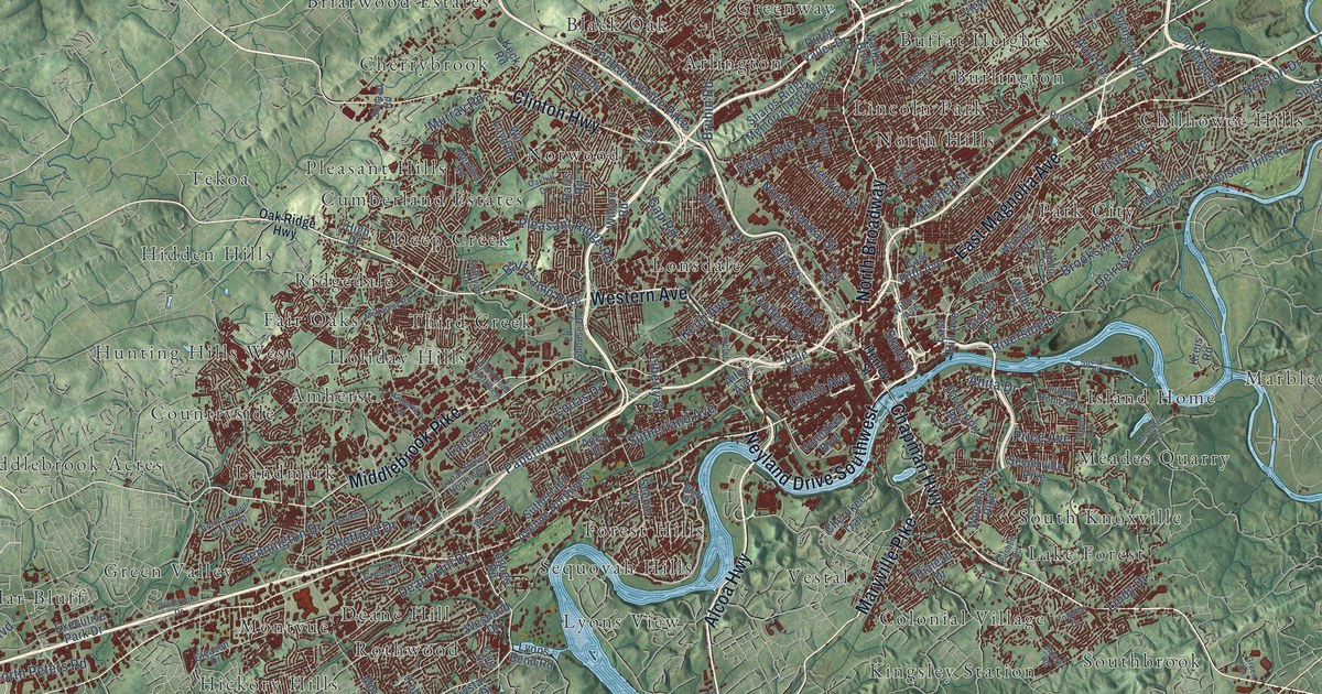
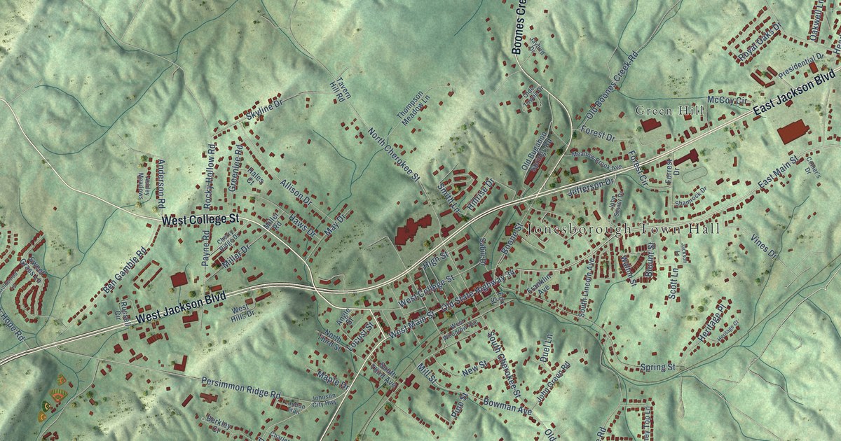
A Few Places to Start
How Each Map Is Made
It starts with the real place
Streets, buildings, terrain and water form the map, drawn the way Tennessee looks today.
Then the details
Local research and an old atlas style give each town its character.
Then it’s yours
Look around the map, then pick a print to keep or give.