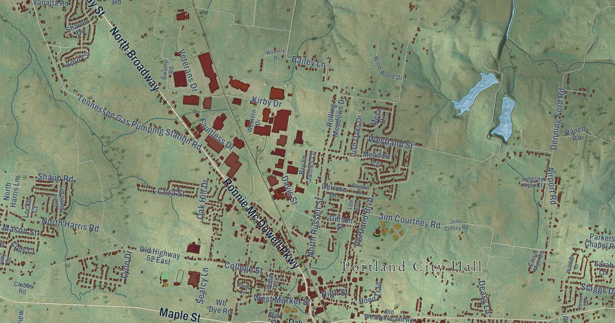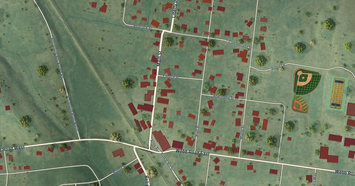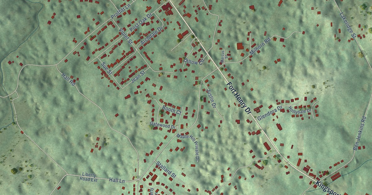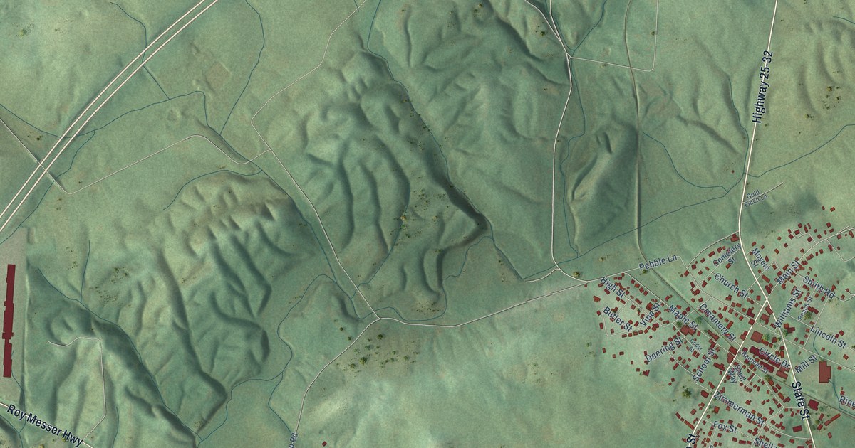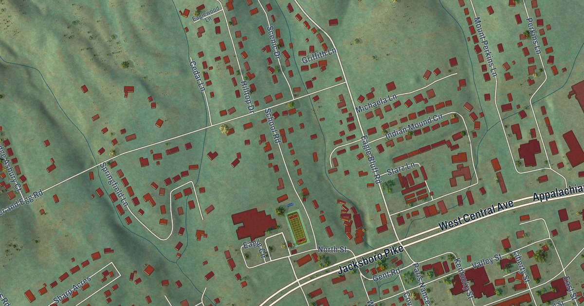
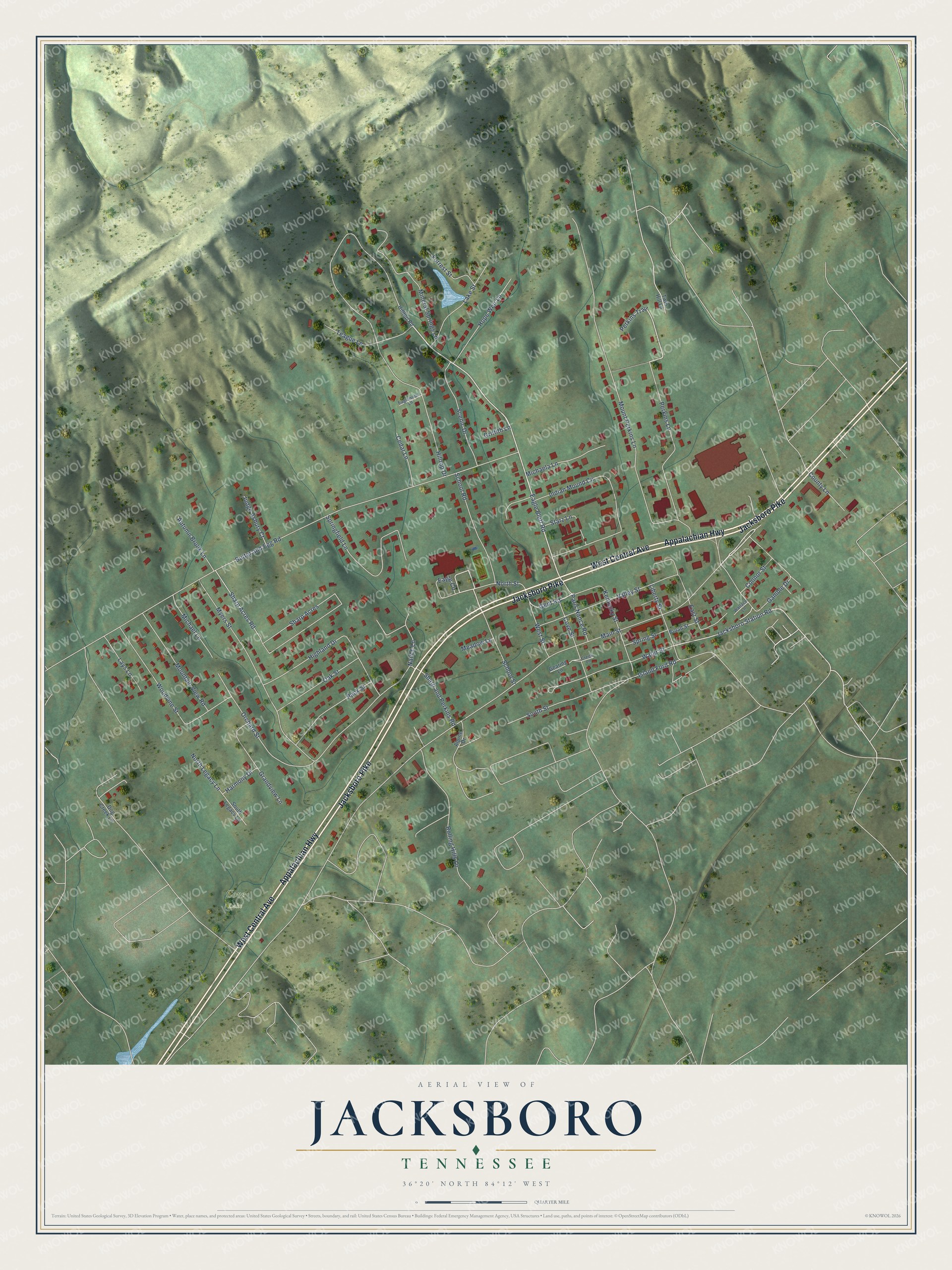
This beautifully detailed map of Jacksboro, Tennessee was created in 2026 using aerial imagery combined with modern topographical, census, street and landmark data. It's a modern aerial view of Jacksboro in Campbell County, Tennessee, that combines modern data with a vintage aesthetic. The roads feature printed names, and if you look closely you can find your exact house accurately shown in its correct location.
Explore an aerial view of Jacksboro, Tennessee
On this map you'll find Cove Lake, Appalachian Highway, West Central Avenue, Jacksboro Pike, Main Street, Eagle Bluff Road, Eagle Circle, Jacksboro Station Road, Gent Road, Butter and Egg Road, Hilltop Drive, Mount Perkins Lane, and more. Each red shape is a building, so zoom in on the preview and look for yours.
Jacksboro has a story worth telling. The Internet Archive puts it this way: "Hugh Montgom-
ery, one of the first settlers of Campbell County, and who donated the site of Jacksboro,
for the city."
Jacksboro is a town in Campbell County. The Census Bureau counted 2,306 people here in 2020.
Take a closer look at the Jacksboro map
Names on this map
These names are printed on this map.
Places: Cove Lake.
Streets and roads: Appalachian Highway, West Central Avenue, Jacksboro Pike, Main Street, Eagle Bluff Road, Eagle Circle, Jacksboro Station Road, Gent Road, Butter and Egg Road, Hilltop Drive, Mount Perkins Lane, Myers Street.
More street names, A to Z
Alpine Drive, Autumn Brook Lane, Broad Street, Cedar Lane, Connor Street, County Lane, Cove Street, Creek Lane, Dog Creek Lane, Eaglewood Lane, East Street, Forrest Street, Gamble Drive, Gearing Lane, Grandview Lane, Griffith Lane, Harmony Drive, Highland Drive, Hilltop Road, Hope Weir Lane, Indian Mound Circle, Island Ford Road, Judge Asbury Court, Kentucky Street, Lake Street, Lays Lane, Liberty Street, Meadow Lane, Michaela Lane, Michael Lane, Mineral Springs Lane, Mountain View Road, Nance Lane, North Legacy Lane, North Street, Oak Street, Orchard Street, Pack Street, Paris Nance Road, Perkins Lane, Perkins Trail, Rolling Hills Lane, Scenic Drive, School Road, School Street, Sharp Acres, Sharp Acres Road, Sharp and Perkins Road, South Legacy Lane, South Street, Springfield Lane, Spring Street, Starz Lane, Teague Lane, Twin Hill Lane, Valley Street, Wallace Lane, Water Street, West Street, Woodvine Street.
Created by KNOWOL in 2026. The buildings are small red shapes, the roads carry their printed names, and shaded relief shows the shape of the land. The title panel reads "AERIAL VIEW OF JACKSBORO TENNESSEE" with 36°20' NORTH 84°12' WEST.
It looks right in a kitchen, an office or a den, and it's a gift for anyone who grew up in Jacksboro or moved away. Open the preview and find your street. See sizes and frames for the Jacksboro map.