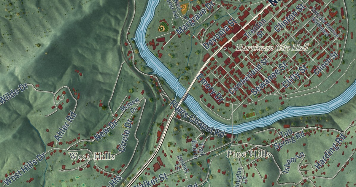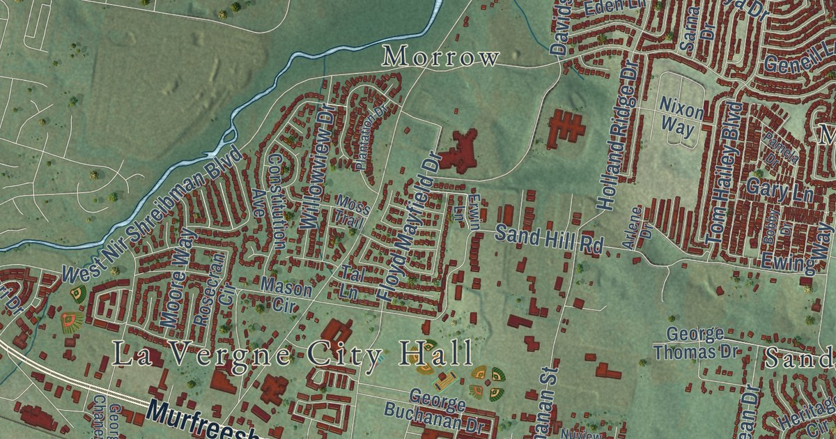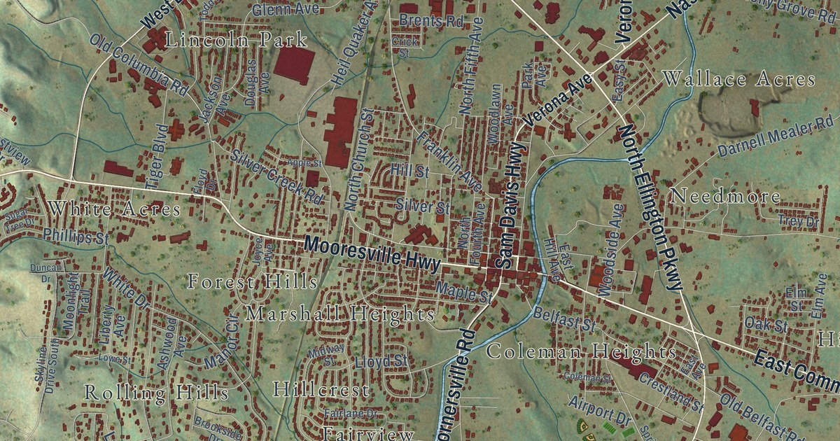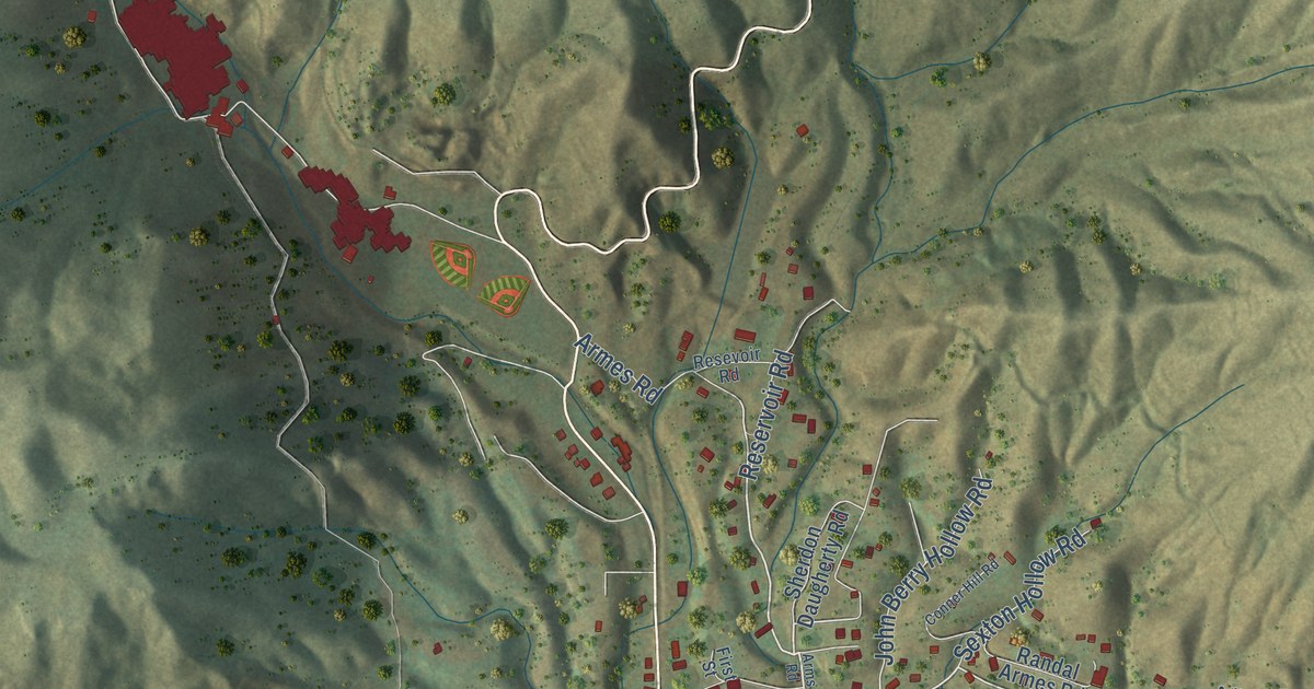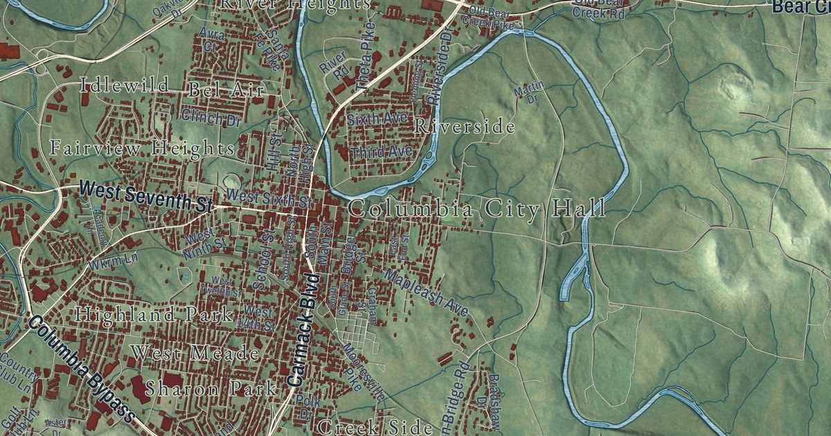
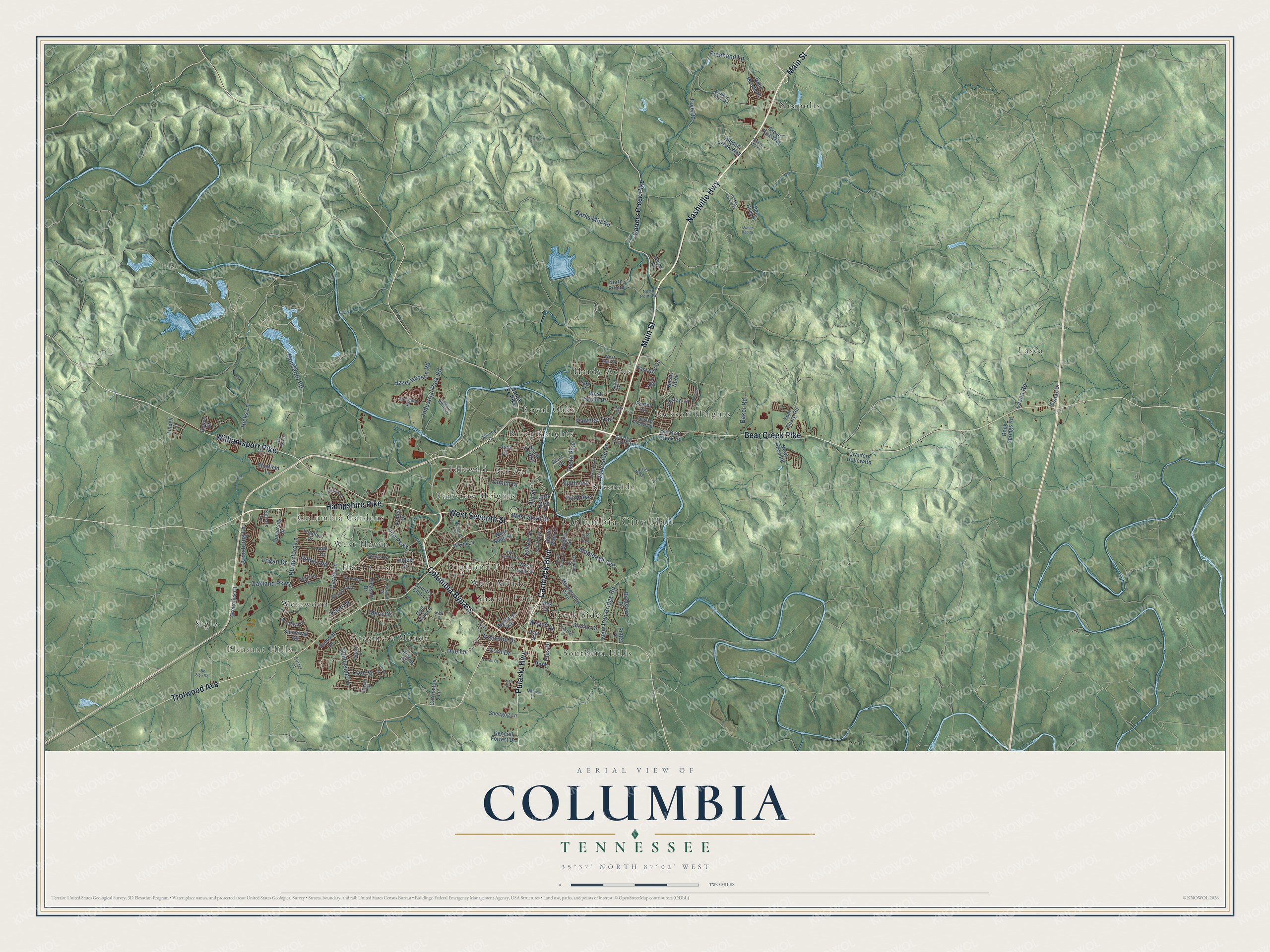
This beautifully detailed map of Columbia, Tennessee was created in 2026 using aerial imagery combined with modern topographical, census, street and landmark data. It’s a one-of-a-kind view of Columbia that combines accurate data with a vintage aesthetic. The map shows every building in its true location, many of the roads carry their names, and the shaded topographic relief shows the shape of the land.
Explore an aerial view of Columbia, Tennessee
On the map you’ll find Columbia City Hall, Pleasant Hills, Bel Air, Columbia Gardens, Creek Side, Fairview Heights, Field Crest, Graymere Manor, Hardy Acres, Highland Park, Idlewild, Jackson Heights, and more. If you look closely you can even find your house accurately drawn in its correct location. Zoom in on the preview to look for yours.
Did you know this piece of Columbia, Tennessee history?
On February 25, 1946, a white repair apprentice picked a fight with James Stephenson, a black Navy veteran, who fought back. Unrest then broke out in the town. Thurgood Marshall of the NAACP later defended the men charged. An all-white jury acquitted all but two, and prosecutors dropped those charges too.
Take a closer look at the Columbia map
Street and place names on the Columbia, Tennessee map
These names are printed on the map of Columbia, Tennessee.
Places: Columbia City Hall, Pleasant Hills, Bel Air, Columbia Gardens, Creek Side, Fairview Heights, Field Crest, Graymere Manor, Hardy Acres, Highland Park, Idlewild, Jackson Heights, Lasea, Neapolis, River Heights, Riverside, Royal Oaks, Sharon Park, Siglo, Southern Hills, West Haven, West Meade and Westwood.
Streets and roads: Nashville Highway, Hampshire Pike, Carmack Boulevard, West Seventh Street, Columbia Bypass, Trotwood Avenue, Main Street, Bear Creek Pike, Williamsport Pike, Pulaski Highway, Freehand Lane, Monsanto Road.
More street names, A to Z
Aberdeen Court, Academy Lane, Antrim Circle, Armstrong Lane, Ashwood Drive, Aster Drive, Avra Court, Azalea Drive, Baker Road, Bee Hive Drive, Belle Meade Place, Bradshaw Drive, Bridge Street, Camelot Drive, Carol Drive, Carrington Lane, Carters Creek Pike, Carters Creek Road, Cayce Lane, Chestnut Drive, Clinch Drive, Cord Drive, Country Club Lane, Cowan Street, Cranford Hollow Road, Crowe Street, Darks Mill Road, Dorman Drive, Due Lane, Dyer Street, East Burt Drive, East End Street, Fleming Street, Foster Lane, Frye Road, General Forrest Drive, General Roberts Drive, Golf Club Lane, Graham Street, Greenlick Court, Greens Mill Road, Grove Park Way, Halifax Drive, Hazel Hanson Road, Hicks Lane, Hidden Creek Way, Highland Avenue, Hill Street, Hilltop Drive, Honey Farm Way, Industrial Park Road, Jewell Drive, Joel Drive, Knud Drive, Lake Drive, Lasea Road, Lawson White Drive, Leah Drive, Lenox Drive, Lion Parkway, Logan Drive, London Drive, Lovell Court, Lyon Street, Mapleash Avenue, Martin Drive, Mere Drive, Mooresville Pike, Morrow Lane, Nashs Nook, New Iron Bridge Road, Newt Hood Road, North High Street, North Pointe, North Point Road, Oakland Parkway, Oak Park Drive, Oakview Drive, Old Bear Creek Pike, Old Bear Creek Road, Old Zion Road, Park Circle, Park Plus Drive, Pawnee Trail, Pillow Drive, Pleasant Drive, Polk Drive, Porter Circle, Potter Drive, Queen Bee Drive, River Road, Riverside Drive, Robert Road, Rock Springs Road, Rodeo Drive, Rutherford Lane, Ryan Place, Santa Fe Pike, School Street, Sheegog Lane, Sheffield Lane, Sixth Avenue, Skyline Drive, Skyview Drive, South Glade Street, South High Street, South Main Street, Spears Lane, Stonewall Road, Sunnyside Lane, Theta Pike, Third Avenue, Tindell Lane, Tinsley Lane, Tom Sharp Road, University Drive, Walnut Drive, Wayne Street, West 14th Street, West Burt Drive, Westfield Drive, West Hardin Drive, West Ninth Street, West Sixth Street, West Twelfth Street, Westwood Drive, Windsor Drive, Winning Drive, Wkrm Lane, Woods Drive.
See the Columbia, Tennessee map on a wall
The Columbia map as an 18 x 24 inch print in a black frame.

This beautifully detailed map of Columbia makes an attractive addition to your office, library, or den, and it can even be used to teach children the geography and history of the area. It also makes a great gift for anyone who grew up in Columbia or moved away. When you’re done exploring, click here to get your copy of the Columbia map.