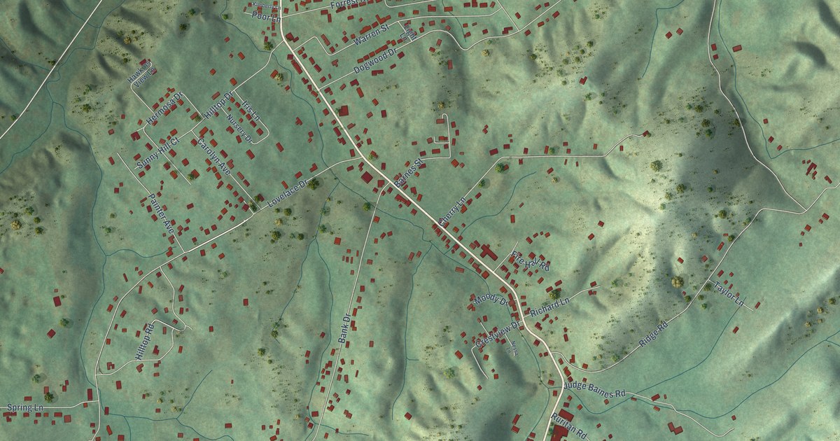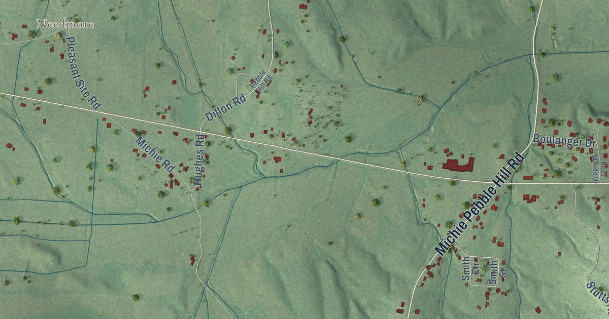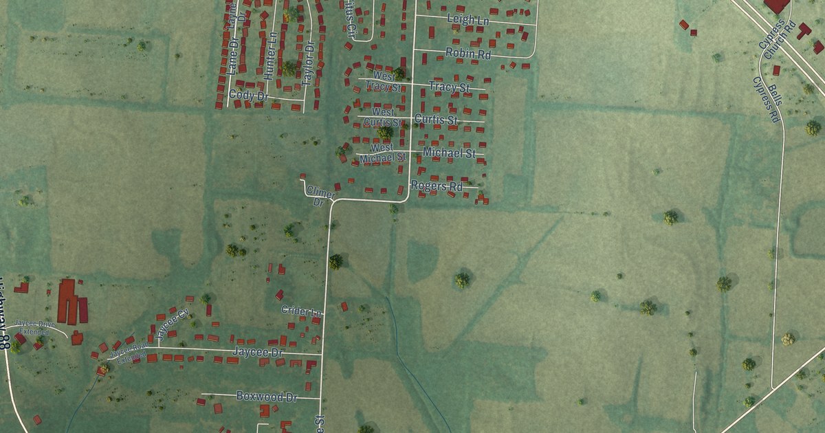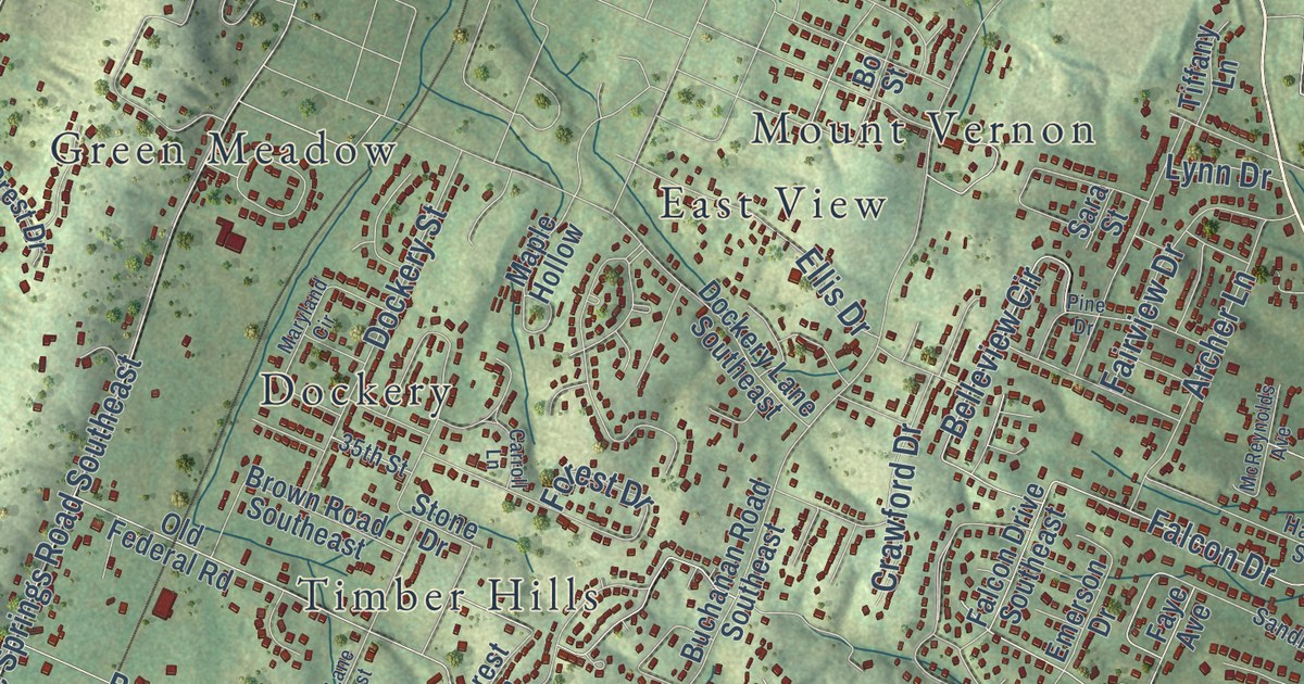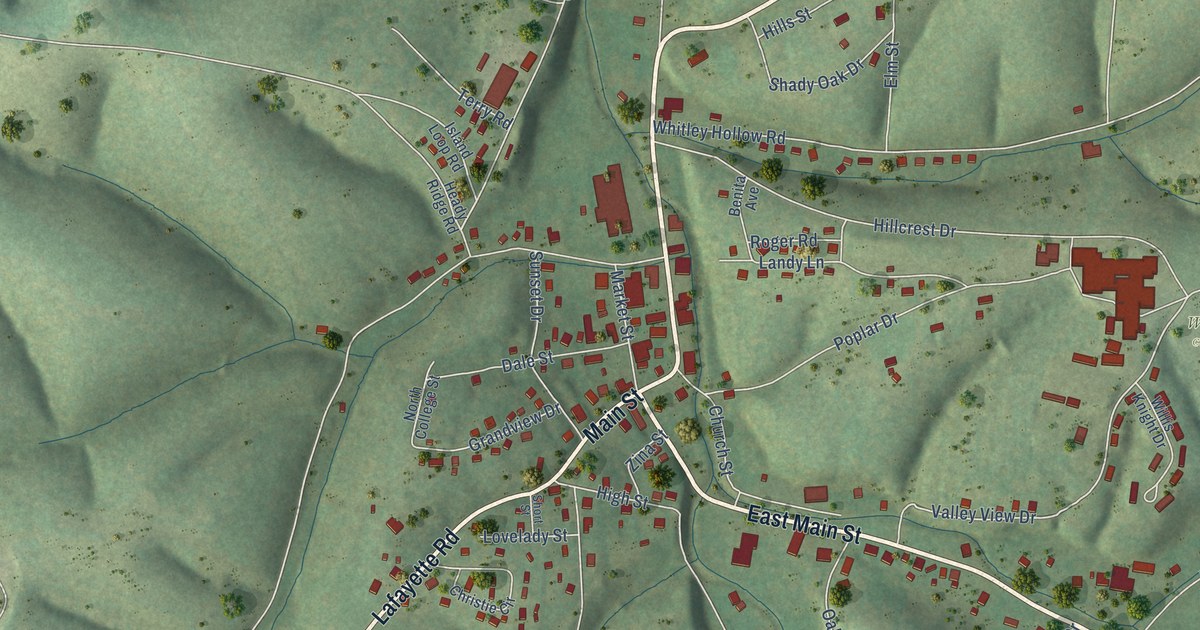
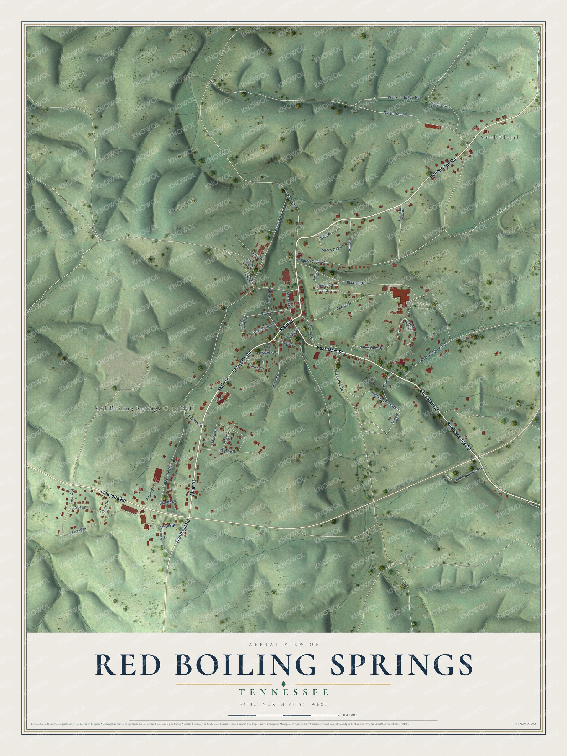
This beautifully detailed map of Red Boiling Springs, Tennessee was created in 2026 using aerial imagery combined with modern topographical, census, street and landmark data. It’s a one-of-a-kind view of Red Boiling Springs that combines accurate data with a vintage aesthetic. The map shows every building in its true location, many of the roads carry their names, and the shaded topographic relief shows the shape of the land.
Explore an aerial view of Red Boiling Springs, Tennessee
On the map you’ll find Red Boiling Springs City Hall, Smith Chapel, and Whitley Cemetery, along with Bennett Hill Road, Main Street, East Main Street, North Springs Road, Carthage Road, Lafayette Road, Donald Drive, Valley View Drive, McClure Street, and more. If you look closely you can even find your house accurately drawn in its correct location. Zoom in on the preview to look for yours.
Did you know this piece of Red Boiling Springs, Tennessee history?
From Tennesseeencyclopedia.net: "Though Red Boiling Springs was a thriving community in the 1850s, the Civil War and land disputes halted development and resulted in the demolition of most of the community's original buildings."
Take a closer look at the Red Boiling Springs map
Street and place names on the Red Boiling Springs, Tennessee map
These names are printed on the map of Red Boiling Springs, Tennessee.
Places: Red Boiling Springs City Hall, Smith Chapel, Whitley Cemetery and Highland Park.
Streets and roads: Bennett Hill Road, Main Street, East Main Street, North Springs Road, Carthage Road, Lafayette Road, Donald Drive, Valley View Drive, McClure Street, Hillcrest Drive, Old Barton Road, Whitley Hollow Road.
More street names, A to Z
Benita Avenue, Birdwell Drive, Cedar Street, Christie Circle, Church Street, College Street, Dale Street, Driver Street, Elm Street, Factory Street, Grandview Drive, Heady Ridge Road, Hesson Drive, Highland Park Road, High Street, Hills Street, Island Loop Road, Kinnebrew Drive, Landy Lane, Lovelady Street, Mark Drive, Market Street, Mountain View Drive, North College Street, North Springs Acc, Oak Grove Road, Old Carthage Road, Old Lake Road, Poplar Drive, Roger Road, Shady Oak Drive, Short Street, Skyline Drive, Spivey Street, Spring Street, Stitches Road, Sue Lane, Sunset Drive, Terry Road, Todd Avenue, Whitson Hollow Road, Willis Knight Drive, Windle Lane, Witcher Hollow Road, Zina Street.
See the Red Boiling Springs, Tennessee map on a wall
The Red Boiling Springs map as an 18 x 24 inch print in a black frame.

This beautifully detailed map of Red Boiling Springs makes an attractive addition to your office, library, or den, and it can even be used to teach children the geography and history of the area. It also makes a great gift for someone who left Red Boiling Springs and still calls it home. When you’re done exploring, click here to get your copy of the Red Boiling Springs map.