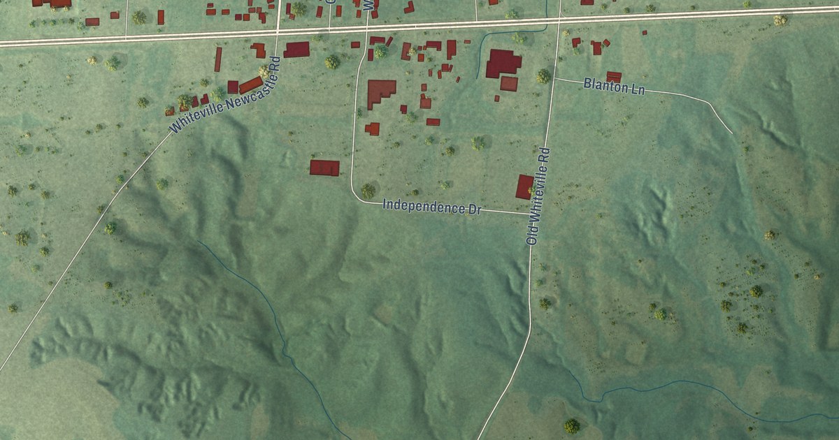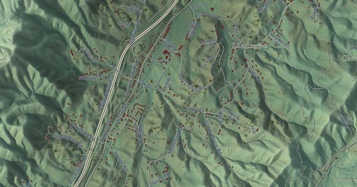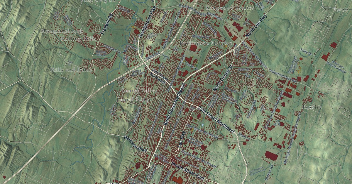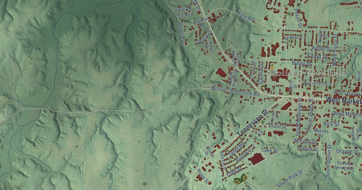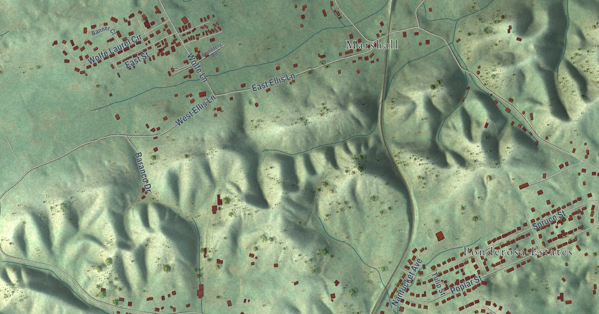
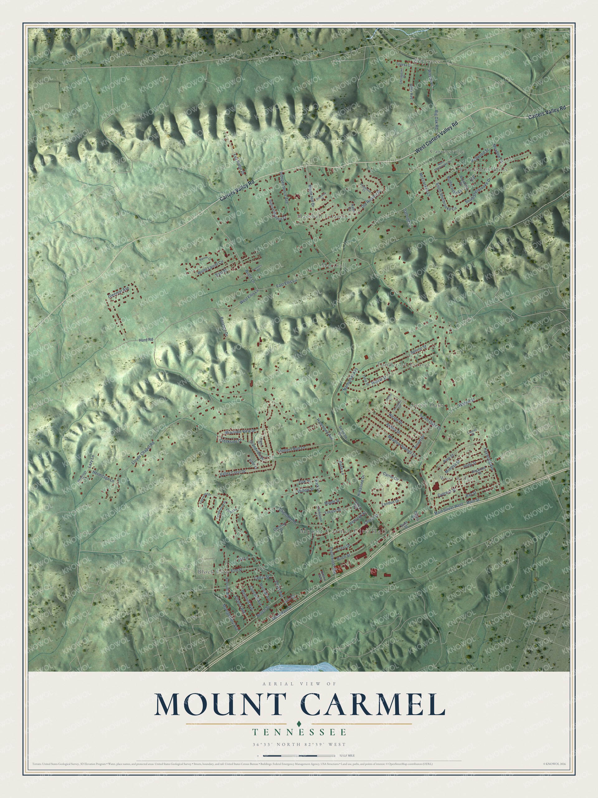
This beautifully detailed map of Mount Carmel, Tennessee was created in 2026 using aerial imagery combined with modern topographical, census, street and landmark data. It's a modern aerial view of Mount Carmel in Hawkins County, Tennessee, that combines modern data with a vintage aesthetic. The roads feature printed names, and if you look closely you can find your exact house accurately shown in its correct location.
Explore an aerial view of Mount Carmel, Tennessee
On this map you'll find Mount Carmel City Hall, Block City, Brookshire Hills, Cartersville, Marshall, Marshall Estates, Ponderosa Estates, Seven Oaks, Waycross, West Ridge, Carters Valley Road, West Carters Valley Road, and more. Each red shape is a building, so zoom in on the preview and look for yours.
Every town has a first chapter, and Mount Carmel is no exception. The record at tennesseeencyclopedia.net puts it this way: "Church Hill is the largest city, followed by Rogersville, Mount Carmel, Surgoinsville, and Bulls Gap."
Mount Carmel is a town in Hawkins County. The Census Bureau counted 5,473 people here in 2020.
Take a closer look at the Mount Carmel map
Names on this map
These names are printed on this map.
Places: Mount Carmel City Hall, Block City, Brookshire Hills, Cartersville, Marshall, Marshall Estates, Ponderosa Estates, Seven Oaks, Waycross and West Ridge.
Streets and roads: Carters Valley Road, West Carters Valley Road, Englewood Avenue, West Main Street, Old Hickory Drive, South Sherbrooke Circle, West Ellis Lane, Independence Avenue, Hammond Avenue, Redwood Street, Lloyds Chapel Road, Dover Avenue.
More street names, A to Z
Arbor Court, Arnott Drive, Asheville Avenue, Ashley Drive, Aspen Court, Atlanta Avenue, Banner Court, Baranco Drive, Bay Street, Beech Street, Belmont Avenue, Big Oak Road, Birch Street, Brookton Drive, Carnation Lane, Carrie Circle, Cedar Street, Cemetery Road, Cherokee Drive, Cherry Street, Chesapeake Drive, Chestnut Street, Clifftop Court, Concord Avenue, Creekside Drive, Crest Drive, Cypress Street, Daffodil Lane, Dahlia Street, Della Street, Dogwood Street, East Ellis Lane, East Street, Edgewood Drive, Elm Street, Forest Road, Fox Ridge Drive, Gallop Avenue, Glenmar Avenue, Grandview Drive, Greenview Street, Hemlock Street, Hermitage Drive, Hermitage Lane, Hiwassee Drive, Holly Street, Hunters Run Lane, Hurd Road, Inca Drive, Ivy Circle, Ivy Lane, Katie Circle, Kaywood Avenue, Landon Drive, Laurel Street, Lazy Lane, Locust Street, Main Street, Main Street West, Maple Hill Drive, Maple Street, Marshall Avenue, McCracken Lane, Meadow Lane, Meadow Springs Lane, Mimosa Street, Montgomery Avenue, Mountain View Drive, Nantucket Avenue, Nicole Drive, North Sherbrooke Drive, Oak Street, Ohio Avenue, Park Lane, Pine Street, Poplar Street, Primerose Court, Ramblewood Drive, Rose Lane, Roundtree Avenue, Ruthbrooke Drive, Seminole Drive, Seven Oaks Lane, South Sherbrooke Drive, Spruce Street, Sunrise Meadow Court, Topeka Drive, Tulip Street, Unaka Avenue, Valley Crest Drive, Walnut Street, Willow Street, Wolfe Lane, Wolfe Laurel Circle.
Created by KNOWOL in 2026. The buildings are small red shapes, the roads carry their printed names, and shaded relief shows the shape of the land. The title panel reads "AERIAL VIEW OF MOUNT CARMEL TENNESSEE" with 36°33' NORTH 82°39' WEST.
Hang it in the hallway, the office or the cabin, or give it to someone who left Mount Carmel and still calls it home. Open the preview and look for a street you know. See sizes and frames for the Mount Carmel map.